Brown's Oven Wood
Wood, Forest in Kent Sevenoaks
England
Brown's Oven Wood
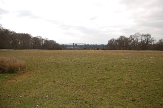
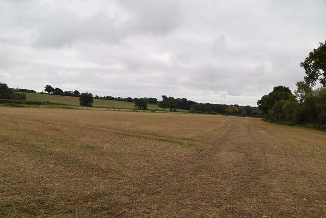
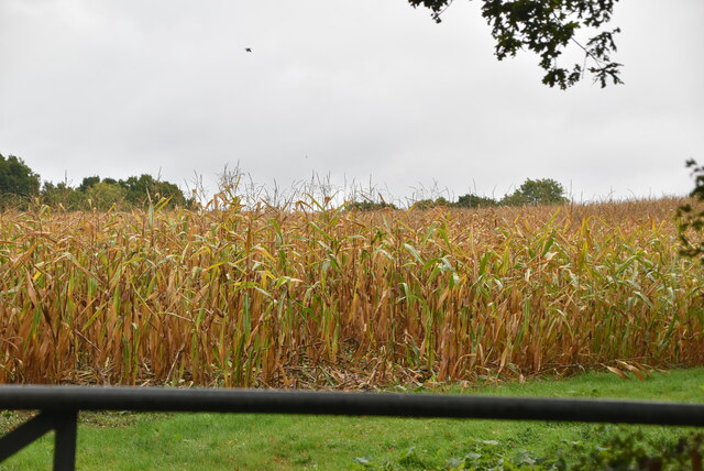
Brown's Oven Wood is a small but enchanting woodland located in the county of Kent, England. Covering an area of approximately 20 acres, this wood is nestled within the larger stretch of Blean Woods, a designated Site of Special Scientific Interest. It is located near the village of Blean, just a few miles north of the historic city of Canterbury.
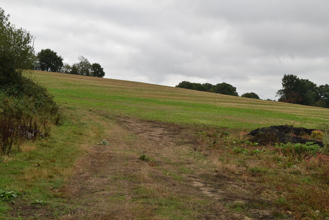
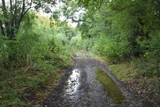
The woodland is predominantly composed of native broadleaf trees, including oak, beech, and ash, which create a rich and diverse habitat for various flora and fauna. The forest floor is blanketed with a thick layer of moss, ferns, and wildflowers, adding to its natural beauty. Brown's Oven Wood is particularly known for its vibrant bluebell displays in the spring, attracting visitors from far and wide.
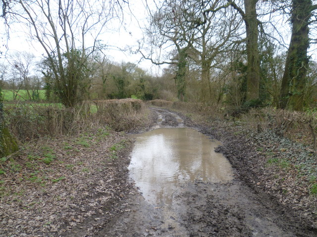
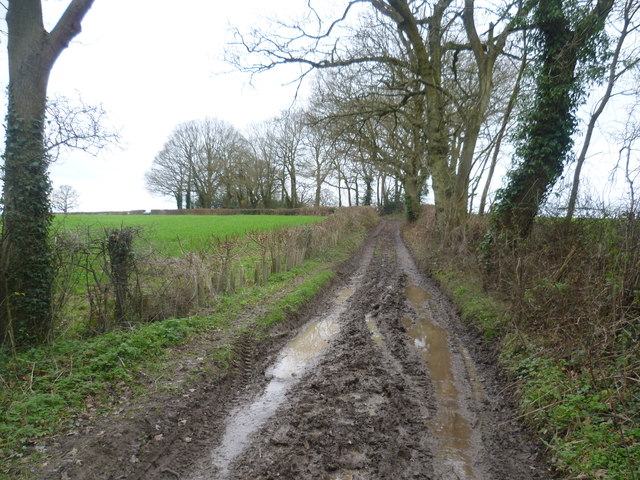
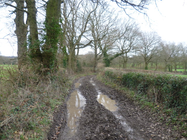
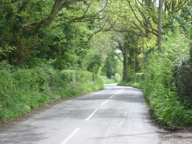
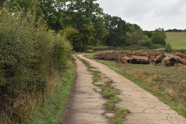
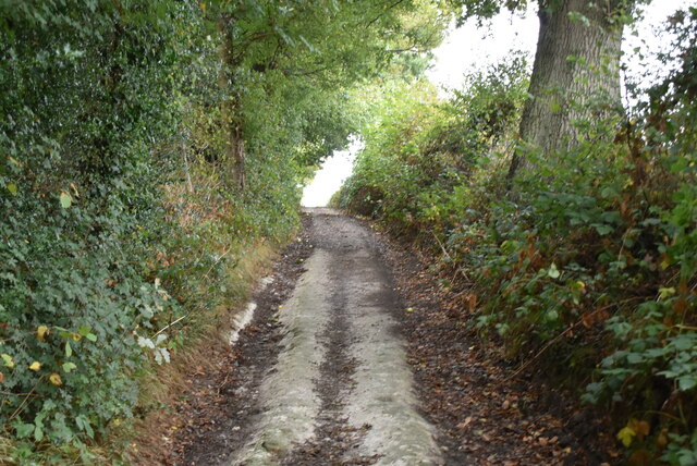
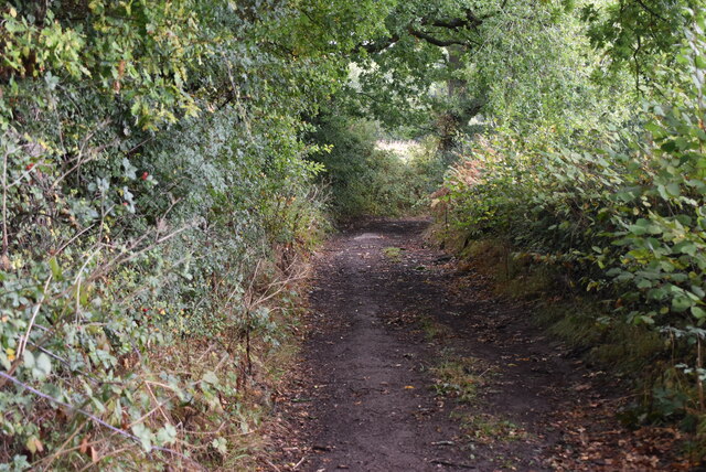
The wood is crisscrossed by a network of well-maintained footpaths, allowing visitors to explore its peaceful surroundings. These paths wind through the trees, providing glimpses of sun-dappled glades and offering a chance to spot woodland creatures such as deer, squirrels, and a variety of bird species.
Brown's Oven Wood also holds historical significance, as it is believed to be a remnant of the ancient Blean Forest that once covered large parts of Kent. The name "Brown's Oven" is thought to have originated from a charcoal-burning kiln that was once used in the area.
Overall, Brown's Oven Wood is a tranquil haven, offering nature enthusiasts, walkers, and families a chance to immerse themselves in the beauty of a traditional English woodland. Its accessibility and diverse wildlife make it a popular destination for those seeking solace in nature.
If you have any feedback on the listing, please let us know in the comments section below.
Brown's Oven Wood Images
Images are sourced within 2km of 51.244141/0.093821048 or Grid Reference TQ4651. Thanks to Geograph Open Source API. All images are credited.


Brown's Oven Wood is located at Grid Ref: TQ4651 (Lat: 51.244141, Lng: 0.093821048)
Administrative County: Kent
District: Sevenoaks
Police Authority: Kent
What 3 Words
///spoke.inch.exile. Near Westerham, Kent
Nearby Locations
Related Wikis

Toys Hill
Toys Hill is a hamlet which lies within Brasted civil parish in the Sevenoaks district of Kent, England. It lies to the south of Brasted Chart, also in...

Chartwell
Chartwell is a country house near Westerham, Kent, in South East England. For over forty years it was the home of Sir Winston Churchill. He bought the...

Scord's Wood and Brockhoult Mount
Scord's Wood and Brockhoult Mount is a 252.3-hectare (623-acre) biological Site of Special Scientific Interest west of Sevenoaks in Kent. Scord's Wood...

Westerham Mines
Westerham Mines is a 25.4-hectare (63-acre) biological Site of Special Scientific Interest south of Westerham in Kent.The main interest of this site lies...

Emmetts Garden
Emmetts Garden is an Edwardian estate located at Ide Hill, near Sevenoaks in Kent, UK. It is now owned by the National Trust for Places of Historic Interest...

Holy Trinity Church, Crockham Hill
Holy Trinity Church is a Church of England parish church based in Crockham Hill, Kent, England. It was constructed in 1842 and is a Grade II listed building...

Crockham Hill
Crockham Hill is a village in the Sevenoaks district of Kent, England. It is about 3 miles (5 km) south of Westerham, and Chartwell is nearby. The village...

Ide Hill
Ide Hill is a village within the civil parish of Sundridge with Ide Hill, in the Sevenoaks District of Kent, England. It stands on one of the highest...
Related Videos
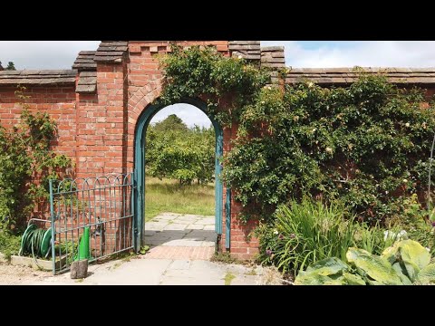
Walking around Chartwell National Trust gardens
Chartwell was the much-loved Churchill family home from 1922. It's hillside gardens reflect Sir Winston's love of landscape and ...


Soul Setting Hike 2022 - The power of walking for personal growth
This is an event I plan to hold several times a year because I believe so deeply in the power of walking for wellbeing and personal ...

Nearby Amenities
Located within 500m of 51.244141,0.093821048Have you been to Brown's Oven Wood?
Leave your review of Brown's Oven Wood below (or comments, questions and feedback).