Inkpins Wood
Wood, Forest in Sussex Wealden
England
Inkpins Wood
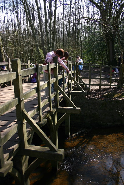
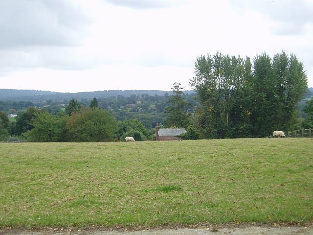
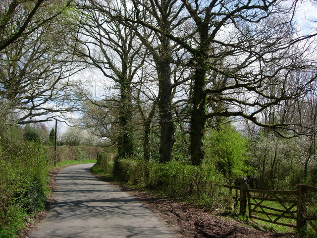
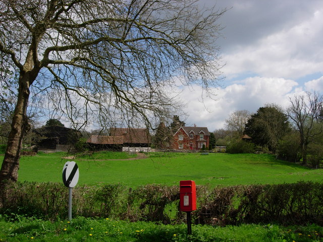
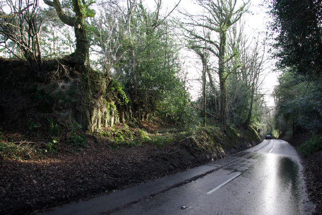
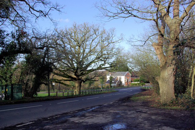
Inkpins Wood is a picturesque woodland located in Sussex, England. Covering an area of approximately 100 acres, this woodland is a haven for nature lovers and outdoor enthusiasts. The wood is characterized by its dense foliage, towering trees, and diverse wildlife, making it a popular destination for hikers, birdwatchers, and photographers.
The woodland is composed of a mix of broadleaf and coniferous trees, including oak, beech, and pine, which create a stunning backdrop throughout the year. During spring, the forest floor is adorned with a vibrant carpet of bluebells, creating a magical atmosphere. In autumn, the trees transform into a riot of colors, attracting visitors who seek to capture the beauty of the changing seasons.
Inkpins Wood is home to a rich variety of fauna. Numerous bird species, such as woodpeckers, owls, and thrushes, can be spotted flitting among the branches, while small mammals like squirrels and rabbits scurry through the undergrowth. The wood is also home to several rare butterfly species, adding to its ecological significance.
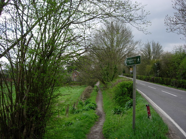
Several well-maintained trails wind through the wood, providing visitors with the opportunity to explore its natural wonders. These paths allow visitors to immerse themselves in the peaceful ambiance of the woodland while enjoying the sights and sounds of nature.
Inkpins Wood is a cherished natural gem in Sussex, offering a tranquil retreat for those seeking respite from the bustle of daily life. Whether it's a leisurely stroll, a birdwatching expedition, or simply a moment of solitude surrounded by nature, this woodland has something to offer everyone.
If you have any feedback on the listing, please let us know in the comments section below.
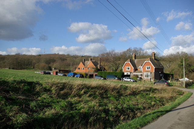
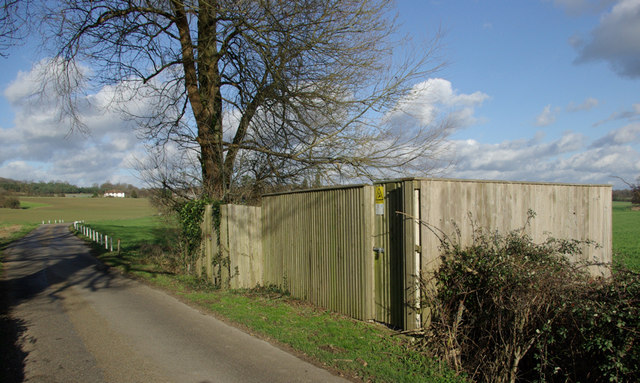
Inkpins Wood Images
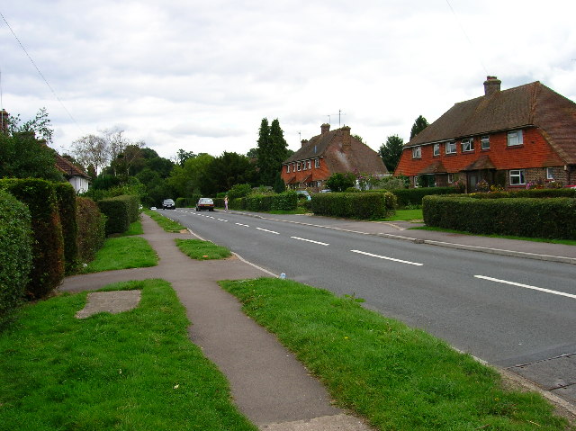
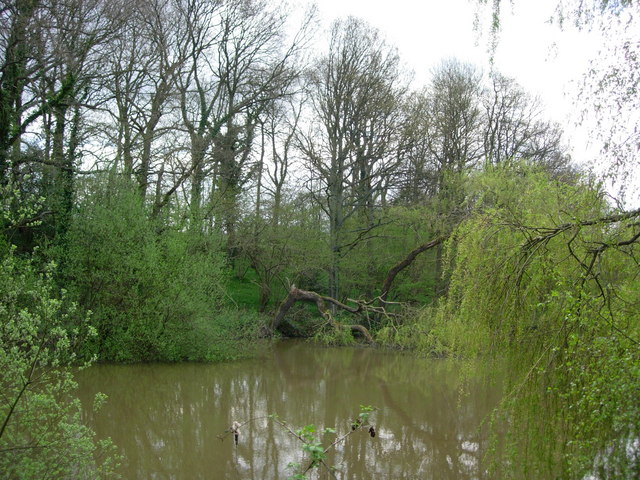
Images are sourced within 2km of 51.097718/0.08652747 or Grid Reference TQ4635. Thanks to Geograph Open Source API. All images are credited.


Inkpins Wood is located at Grid Ref: TQ4635 (Lat: 51.097718, Lng: 0.08652747)
Administrative County: East Sussex
District: Wealden
Police Authority: Sussex
What 3 Words
///comical.weary.tables. Near Forest Row, East Sussex
Nearby Locations
Related Wikis

Upper Hartfield
Upper Hartfield is a small village slightly west of Hartfield in East Sussex, England. The Tudor house "Apedroc" in Upper Hartfield is the former home...

Cotchford Farm
Cotchford Farm is a farmhouse building to the southwest of the village of Hartfield, East Sussex, in the High Weald Area of Outstanding Natural Beauty...

Ashdown House, East Sussex
Ashdown House is a country house and former school near Forest Row, East Sussex, England, a Grade II* listed building. One of the first houses in England...

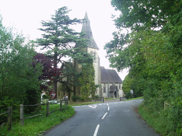
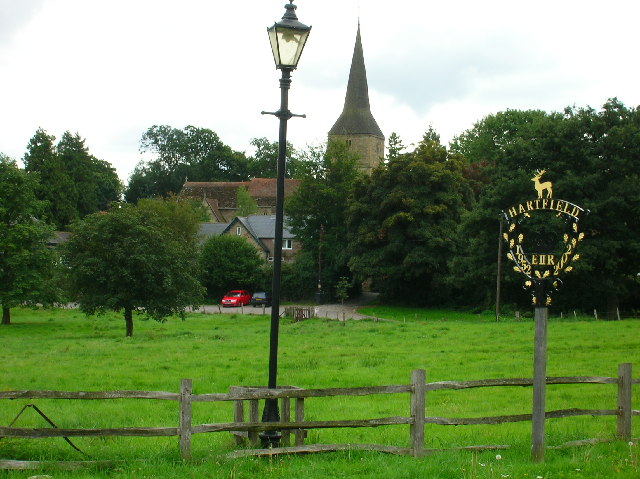
Hartfield
Hartfield is a village and civil parish in the Wealden district of East Sussex, England. The parish also includes the settlements of Colemans Hatch, Hammerwood...

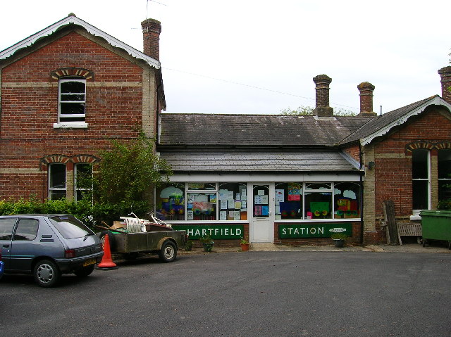
Hartfield railway station
Hartfield was a railway station serving Hartfield, England, on the Three Bridges to Tunbridge Wells Central Line which closed in 1967, a casualty of the...
Emerson College (UK)
Emerson College, UK was founded in 1962 by Francis Edmunds. It is now situated on Pixton Hill, Forest Row in East Sussex, UK. It was named after Ralph...

Bassetts Manor
Bassetts Manor is a Grade II-listed building in Hartfield, East Sussex, England. == Location == The manor is located North of the village of Hartfield...
Bolebroke Castle Miniature Railway
The Bolebroke Castle Miniature Railway or Bolebroke Castle and Lakes Railway (often abbreviated to BC&LR) was a 7+1⁄4 inches (180 mm) railway that ran...
Nearby Amenities
Located within 500m of 51.097718,0.08652747Have you been to Inkpins Wood?
Leave your review of Inkpins Wood below (or comments, questions and feedback).