Bethlem Wood
Wood, Forest in Lincolnshire East Lindsey
England
Bethlem Wood
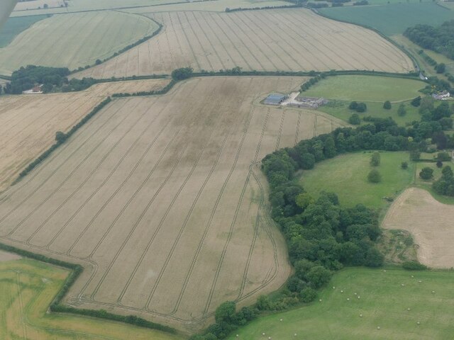
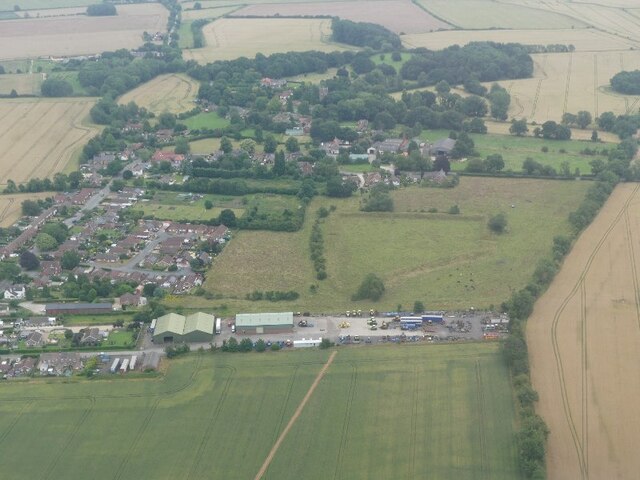
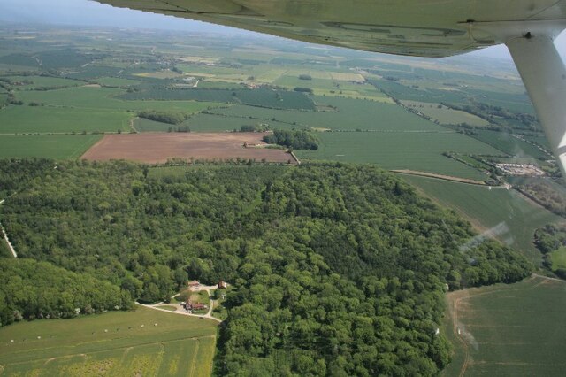
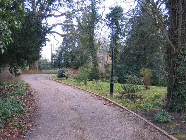
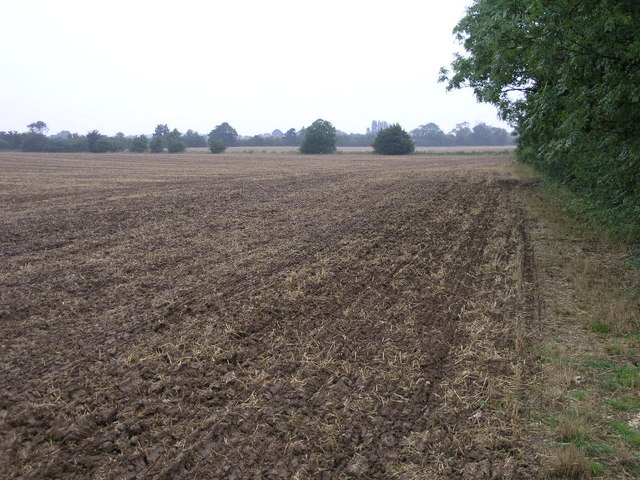
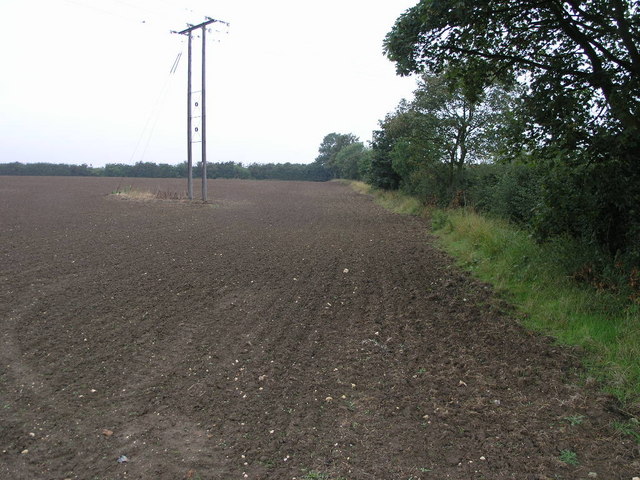
Bethlem Wood is a picturesque and expansive forest located in the county of Lincolnshire, England. Covering an area of approximately 500 acres, this natural gem is nestled amidst the stunning landscapes of the Lincolnshire Wolds, offering visitors a tranquil and idyllic escape from the hustle and bustle of city life.
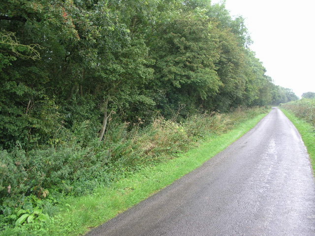
The wood is characterized by its diverse range of tree species, including oak, birch, beech, and pine, which create a lush and verdant canopy throughout the forest. This rich variety of trees provides a habitat for numerous bird species, such as woodpeckers, owls, and thrushes, making Bethlem Wood a haven for birdwatching enthusiasts.
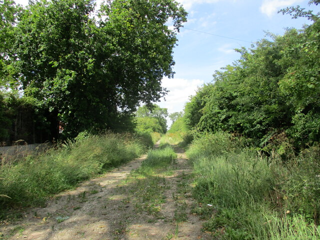
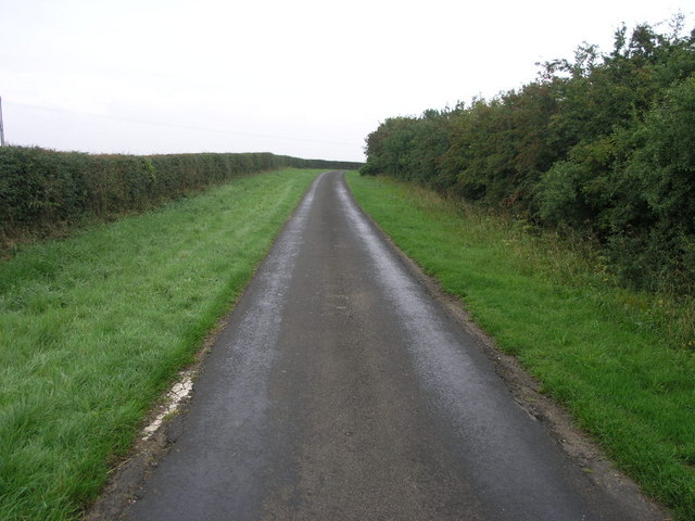
Visitors to Bethlem Wood can explore a network of well-maintained walking trails that meander through the forest, allowing them to immerse themselves in the natural beauty of the surroundings. These trails cater to all abilities, from gentle strolls for families to more challenging routes for seasoned hikers.
In addition to its natural splendor, Bethlem Wood also boasts a fascinating history. It is believed to have been a medieval hunting ground for the nobility, and remnants of ancient deer parks can still be seen within the forest. The wood has also been used as a source of timber over the years, contributing to the local economy and heritage.
Overall, Bethlem Wood is a hidden gem in Lincolnshire, offering visitors a chance to reconnect with nature, explore its rich history, and enjoy the serenity of a truly beautiful woodland setting.
If you have any feedback on the listing, please let us know in the comments section below.
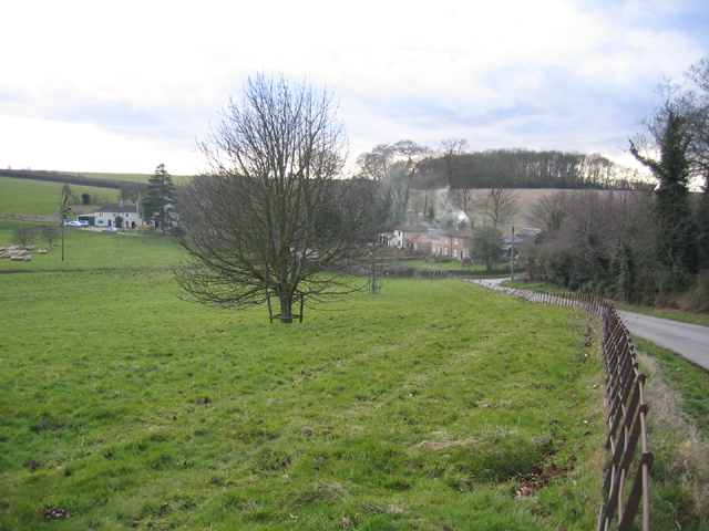
Bethlem Wood Images
Images are sourced within 2km of 53.210419/0.18465656 or Grid Reference TF4570. Thanks to Geograph Open Source API. All images are credited.


Bethlem Wood is located at Grid Ref: TF4570 (Lat: 53.210419, Lng: 0.18465656)
Administrative County: Lincolnshire
District: East Lindsey
Police Authority: Lincolnshire
What 3 Words
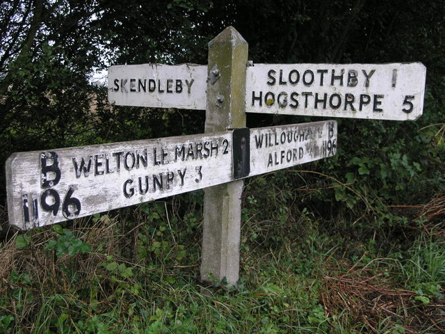
///punctuate.newspaper.clutter. Near Alford, Lincolnshire
Nearby Locations
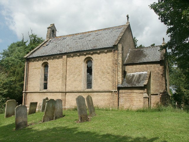
Related Wikis

Thwaite Priory
Thwaite Priory was a monastery at Welton le Marsh in Lincolnshire, England. It was a house of Augustinian Canons Regular, dependent on Thornton Abbey...

Claxby St Andrew
Claxby St Andrew (sometimes known as Claxby), is a village and civil parish about 3 miles (5 km) south of Alford, in the East Lindsey district of Lincolnshire...

Willoughby railway station
Willoughby was a railway station on the East Lincolnshire Railway which served the village of Willoughby in Lincolnshire between 1848 and 1970. In 1886...

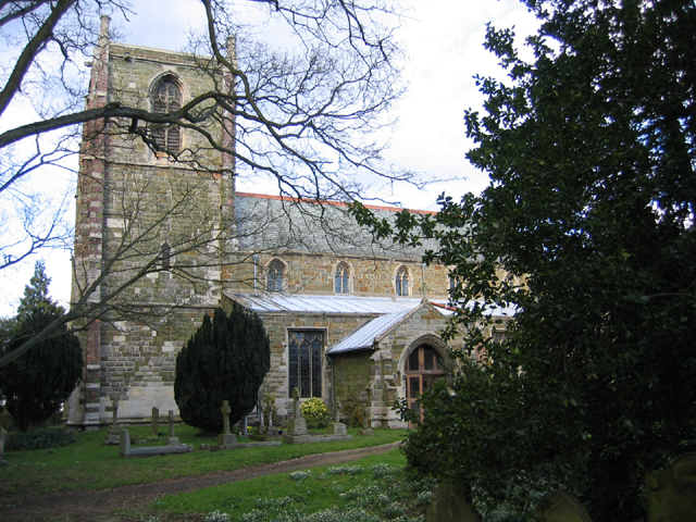
Welton le Marsh
Welton le Marsh (or Welton in the Marsh) is a village and civil parish in the East Lindsey district of Lincolnshire, England. It is situated approximately...
Willoughby, Lincolnshire
Willoughby is a village in the district of East Lindsey, Lincolnshire, England. It is situated three miles (five kilometres) south from the market town...
Mawthorpe
Mawthorpe is a hamlet in the East Lindsey district of Lincolnshire, England. It is situated 2 miles (3 km) south from Alford and 1 mile (1.6 km) north...

Skendleby
Skendleby is a small village and civil parish in the East Lindsey district of Lincolnshire, England. It is situated near to the A158 and lies 35 miles...
Skendleby Priory
Skendleby Priory was a priory in the village of Skendleby, Lincolnshire, England. The believed remains of St James Chapel, Skendleby Priory, were uncovered...
Nearby Amenities
Located within 500m of 53.210419,0.18465656Have you been to Bethlem Wood?
Leave your review of Bethlem Wood below (or comments, questions and feedback).