Clay Pit Belt
Wood, Forest in Cambridgeshire South Cambridgeshire
England
Clay Pit Belt
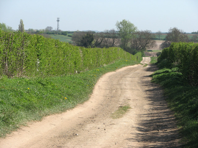
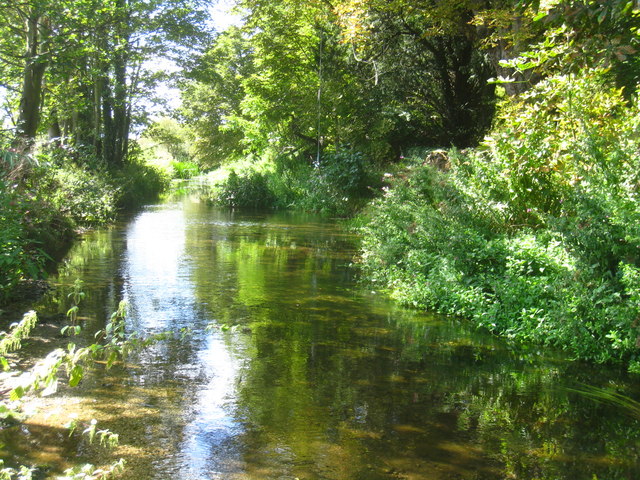
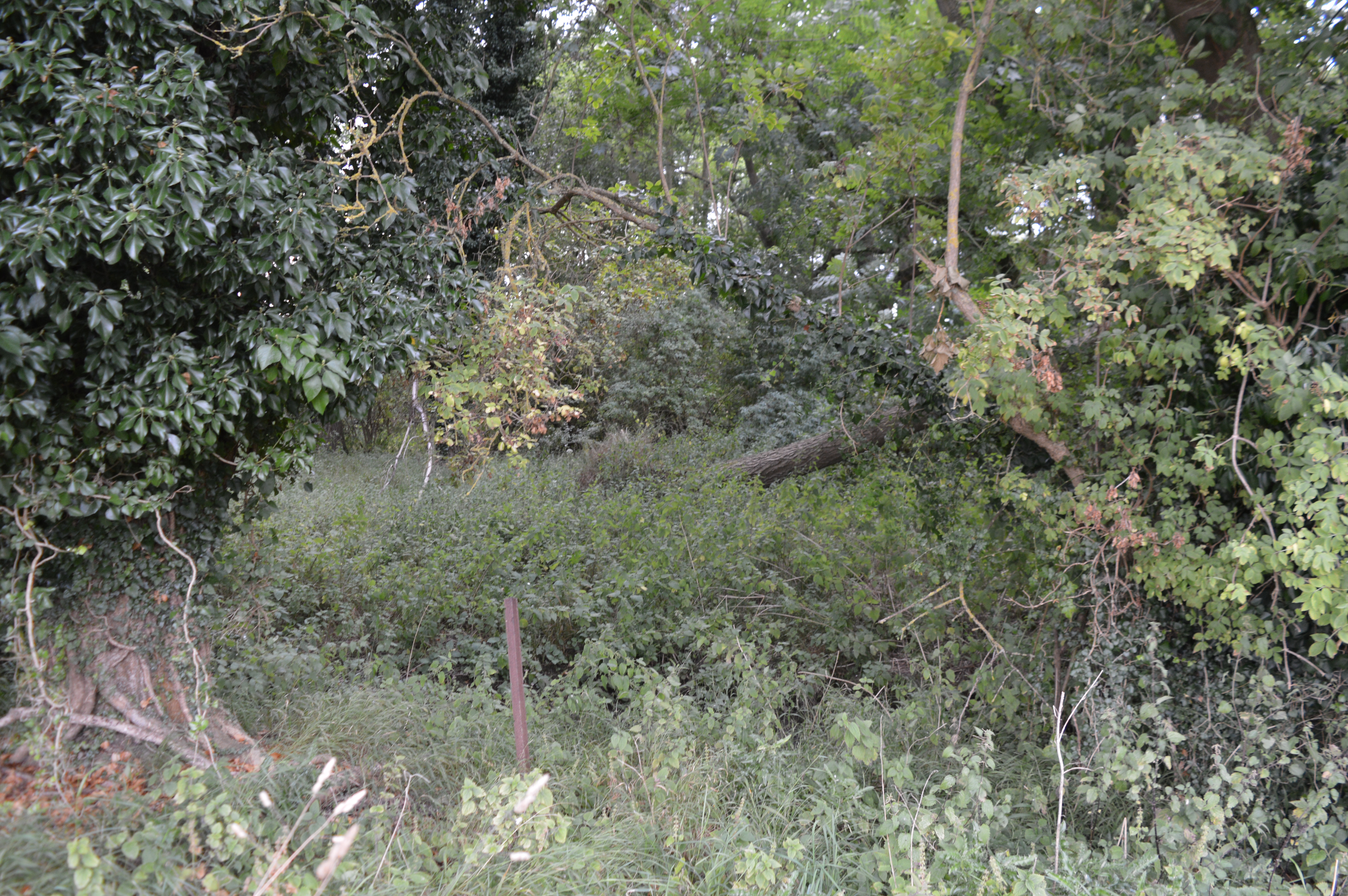
Clay Pit Belt is a wooded area located in the county of Cambridgeshire, England. Covering an estimated area of approximately 50 acres, it is known for its dense forest and rich biodiversity. The site gets its name from the historical clay extraction that took place in the area during the 19th and early 20th centuries.
The woodland is primarily composed of deciduous trees, with a mix of oak, birch, and beech trees dominating the landscape. The dense canopy allows for limited sunlight to penetrate the forest floor, creating a shaded and cool environment. This, in turn, provides a suitable habitat for a variety of woodland flora such as bluebells, wild garlic, and ferns.
The Clay Pit Belt is home to a diverse range of wildlife, including several species of birds, mammals, and insects. Birdwatchers can spot woodpeckers, tits, and warblers among the tree branches, while mammals such as foxes, badgers, and rabbits can be found foraging in the undergrowth. Additionally, the woodland is teeming with insect life, including butterflies, beetles, and spiders.
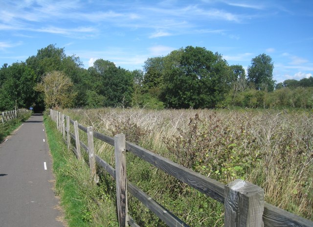
The area is popular among nature enthusiasts and hikers, who can enjoy the tranquility of the forest by following the various walking trails that crisscross the woodland. These trails offer a chance to explore the natural beauty of the Clay Pit Belt, providing opportunities for observing wildlife, taking photographs, or simply enjoying a peaceful stroll amidst the trees.
Overall, Clay Pit Belt is a picturesque woodland area that offers a glimpse into the natural wonders of Cambridgeshire, providing a haven for both flora and fauna alike.
If you have any feedback on the listing, please let us know in the comments section below.
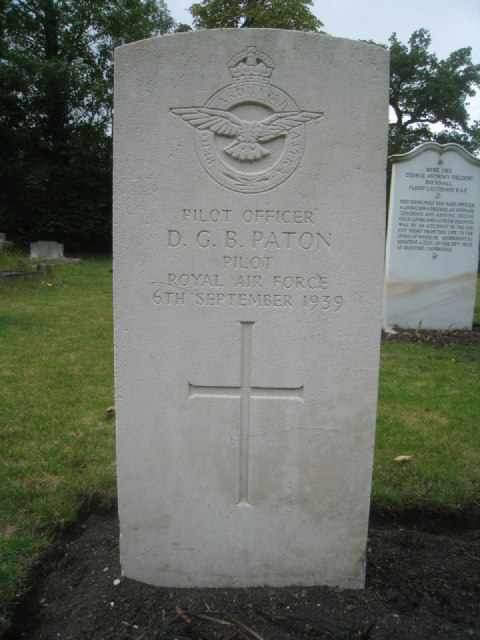
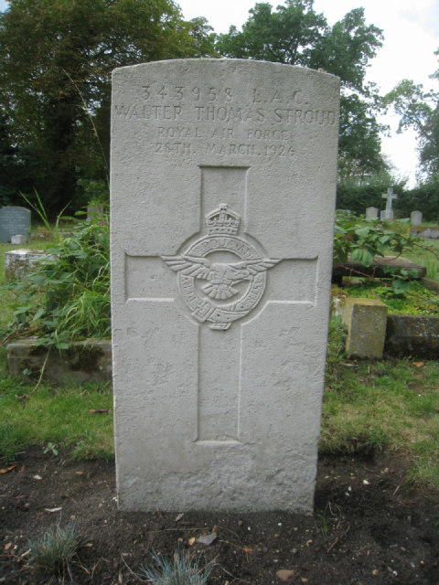
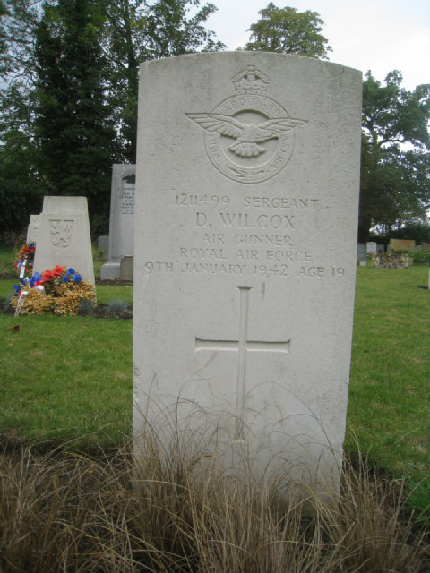
Clay Pit Belt Images
Images are sourced within 2km of 52.113681/0.13030792 or Grid Reference TL4548. Thanks to Geograph Open Source API. All images are credited.


Clay Pit Belt is located at Grid Ref: TL4548 (Lat: 52.113681, Lng: 0.13030792)
Administrative County: Cambridgeshire
District: South Cambridgeshire
Police Authority: Cambridgeshire
What 3 Words
///unclaimed.pranced.tricycle. Near Whittlesford, Cambridgeshire
Nearby Locations
Related Wikis
Thriplow Peat Holes
Thriplow Peat Holes is a 12.2-hectare (30-acre) biological Site of Special Scientific Interest north-east of Thriplow in Cambridgeshire.The site has rare...

Whittlesford - Thriplow Hummocky Fields
Whittlesford - Thriplow Hummocky Fields is a 55.6-hectare (137-acre) biological Site of Special Scientific Interest between Whittlesford and Thriplow in...

Whittlesford
Whittlesford is a village in Cambridgeshire, England, and also the name of an old hundred. The village is situated on the Granta branch of the River Cam...

Borough Hill, Sawston
Borough Hill is a large multivallate hillfort near Sawston, Cambridgeshire, England. == Description == Borough Hill is an oval-shaped area measuring 430...

South Cambridgeshire (UK Parliament constituency)
South Cambridgeshire is a constituency represented in the House of Commons of the UK Parliament since 2019 by Anthony Browne, a Conservative. == Constituency... ==

Bottisham Village College
Bottisham Village College is a mixed secondary school located in Bottisham, Cambridgeshire, England. The school opened in 1937 as the second village college...

Imperial War Museum Duxford
Imperial War Museum Duxford is a branch of the Imperial War Museum near Duxford in Cambridgeshire, England. Britain's largest aviation museum, Duxford...

Dernford Fen
Dernford Fen is a 10.3-hectare (25-acre) biological Site of Special Scientific Interest north-west of Sawston in Cambridgeshire.The site is a rare surviving...
Nearby Amenities
Located within 500m of 52.113681,0.13030792Have you been to Clay Pit Belt?
Leave your review of Clay Pit Belt below (or comments, questions and feedback).