Mapleton Furzefield Wood
Wood, Forest in Kent Sevenoaks
England
Mapleton Furzefield Wood
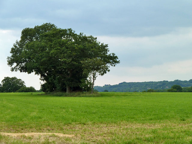
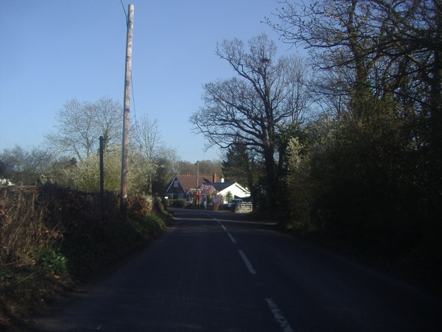
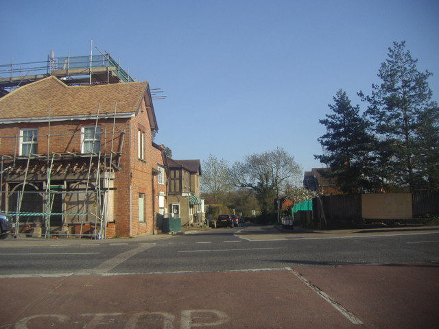
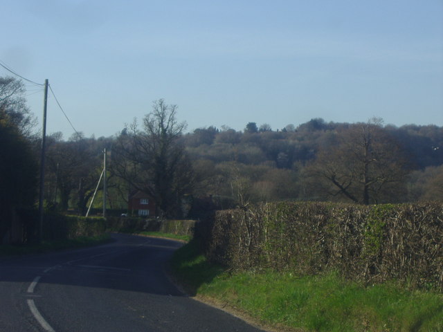
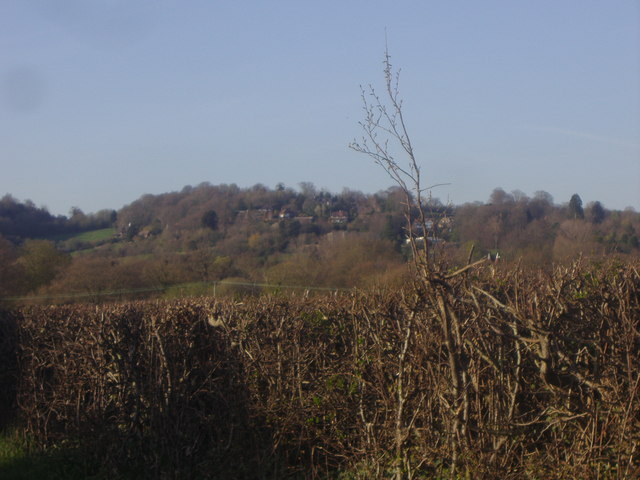
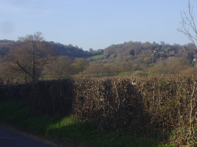
Mapleton Furzefield Wood is a charming woodland located in Kent, England. Covering an area of approximately 100 acres, this woodland is a haven for nature lovers and outdoor enthusiasts. It is situated near the village of Mapleton, offering a peaceful and serene environment for visitors to enjoy.
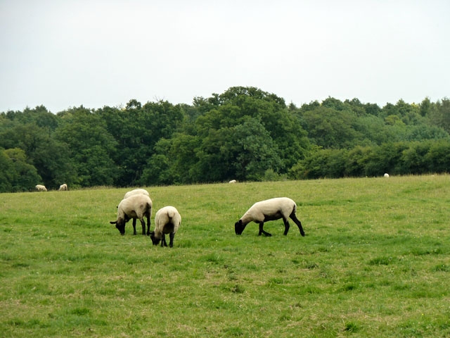
The wood is primarily composed of native broadleaf trees, such as oak, beech, and birch, which create a dense canopy overhead. This canopy provides shade and shelter for a diverse range of flora and fauna that call the wood their home. Bluebells carpet the forest floor in spring, creating a breathtaking sight for visitors.
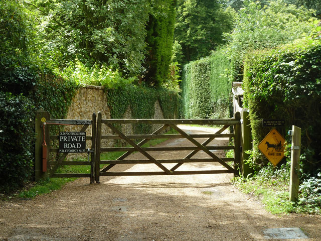
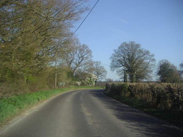
There are several well-marked walking trails throughout the wood, allowing visitors to explore its beauty at their own pace. These trails wind through the trees, offering glimpses of wildlife and providing an opportunity to immerse oneself in nature. Birdwatchers will be delighted to spot various species of birds, including woodpeckers, owls, and thrushes.
Mapleton Furzefield Wood is also a popular spot for picnics and family outings. There are designated picnic areas with benches and tables, providing a perfect setting for enjoying a meal surrounded by the sights and sounds of nature.
The wood is managed by a local conservation organization, ensuring its preservation and sustainability. Visitors are encouraged to respect the natural environment and adhere to any guidelines or signs provided.
Overall, Mapleton Furzefield Wood offers a peaceful retreat from the hustle and bustle of everyday life, allowing visitors to reconnect with nature and enjoy the beauty of Kent's woodlands.
If you have any feedback on the listing, please let us know in the comments section below.
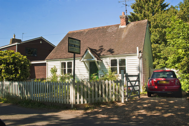
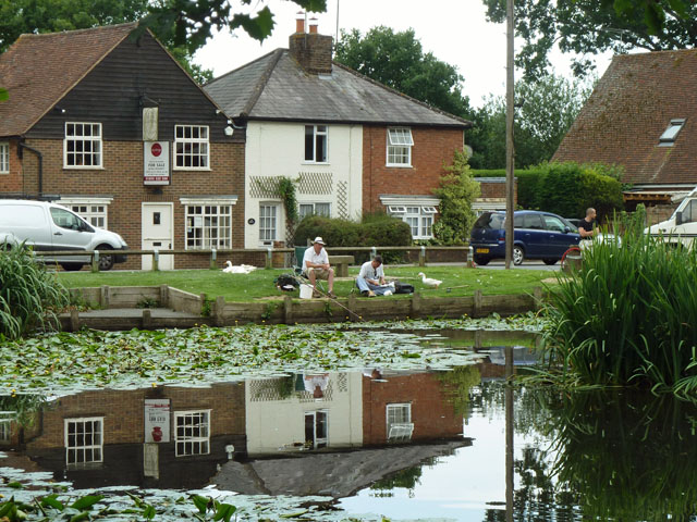
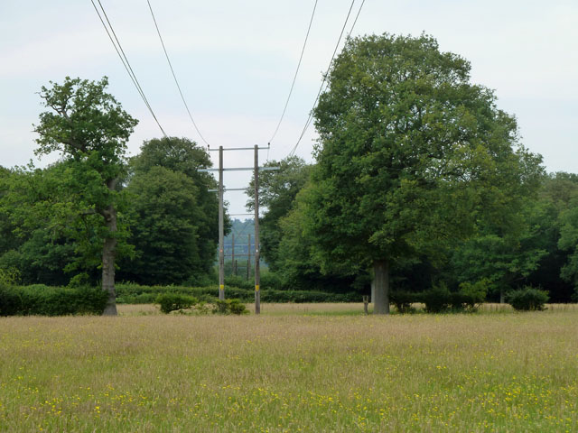
Mapleton Furzefield Wood Images
Images are sourced within 2km of 51.222086/0.0885379 or Grid Reference TQ4549. Thanks to Geograph Open Source API. All images are credited.


Mapleton Furzefield Wood is located at Grid Ref: TQ4549 (Lat: 51.222086, Lng: 0.0885379)
Administrative County: Kent
District: Sevenoaks
Police Authority: Kent
What 3 Words
///unique.detail.quest. Near Edenbridge, Kent
Nearby Locations
Related Wikis

Four Elms
Four Elms is a village within the civil parish of Hever in the Sevenoaks District of Kent, England. The village is located on a crossroads between Edenbridge...

Holy Trinity Church, Crockham Hill
Holy Trinity Church is a Church of England parish church based in Crockham Hill, Kent, England. It was constructed in 1842 and is a Grade II listed building...

Toys Hill
Toys Hill is a hamlet which lies within Brasted civil parish in the Sevenoaks district of Kent, England. It lies to the south of Brasted Chart, also in...

Crockham Hill
Crockham Hill is a village in the Sevenoaks district of Kent, England. It is about 3 miles (5 km) south of Westerham, and Chartwell is nearby. The village...

Edenbridge railway station
Edenbridge railway station is one of two stations serving Edenbridge in Kent, England. It is 33 miles 3 chains (33.04 miles, 53.17 km) measured from London...

Jaques of London
Jaques of London, formerly known as John Jaques of London and Jaques and Son of London is a long-established family company that manufactures sports and...

Chartwell
Chartwell is a country house near Westerham, Kent, in South East England. For over forty years it was the home of Sir Winston Churchill. He bought the...
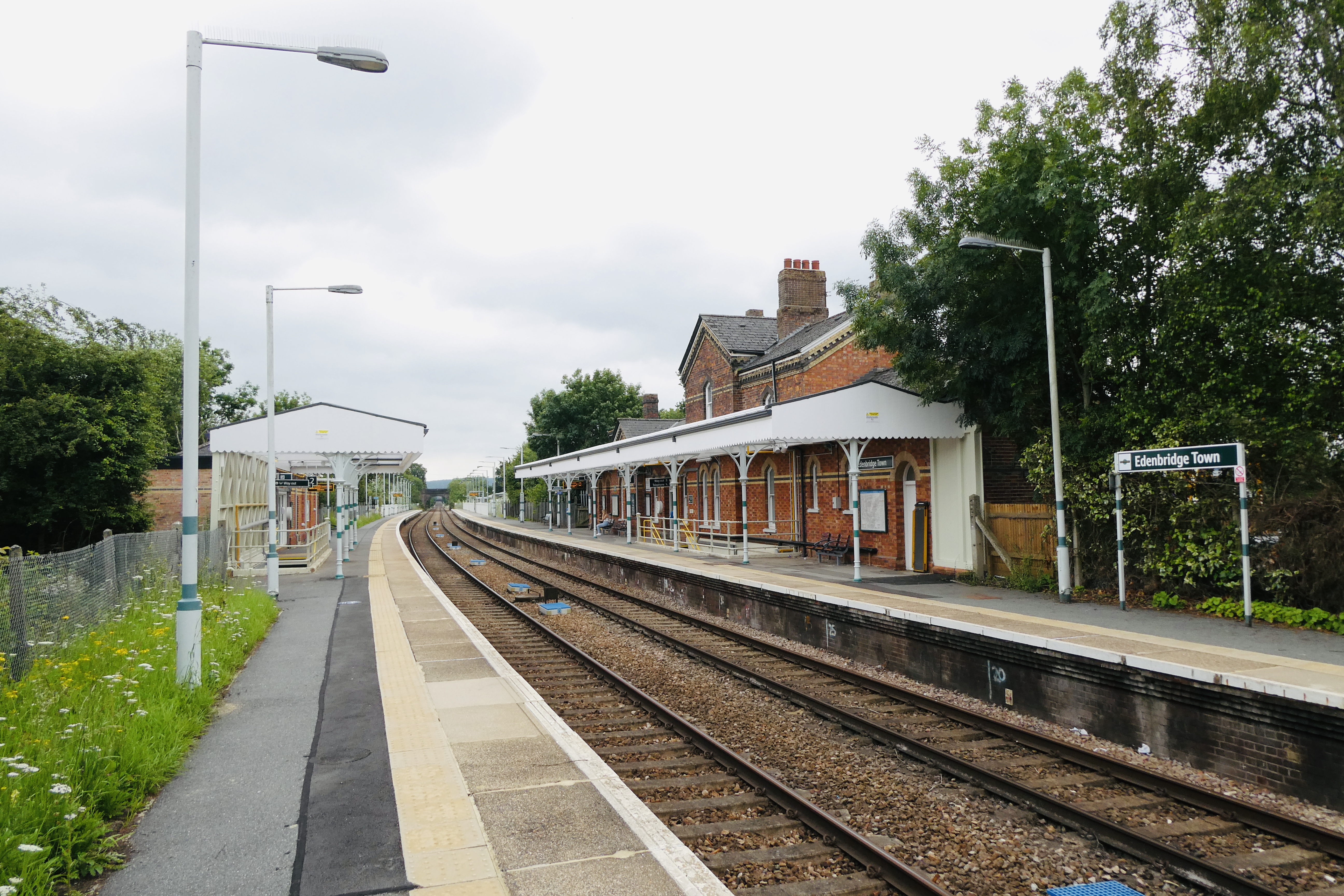
Edenbridge Town railway station
Edenbridge Town railway station is one of two stations serving Edenbridge in Kent, England. The station, and all trains serving it, are operated by Southern...
Nearby Amenities
Located within 500m of 51.222086,0.0885379Have you been to Mapleton Furzefield Wood?
Leave your review of Mapleton Furzefield Wood below (or comments, questions and feedback).