Derby Wood
Wood, Forest in Kent Sevenoaks
England
Derby Wood
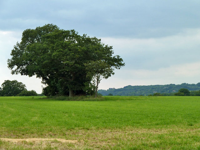
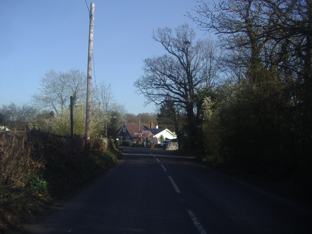
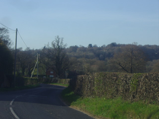
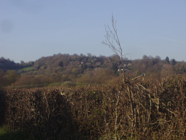
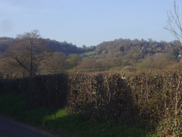
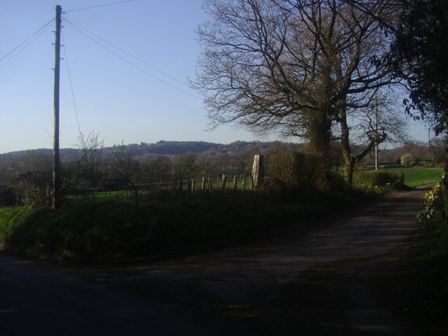
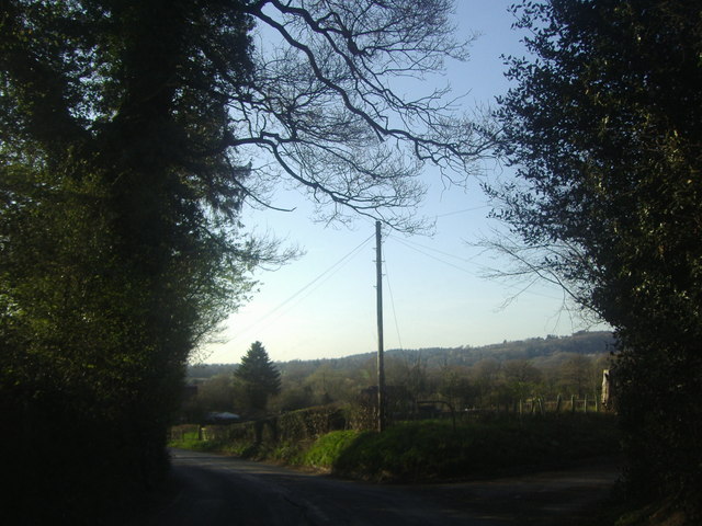
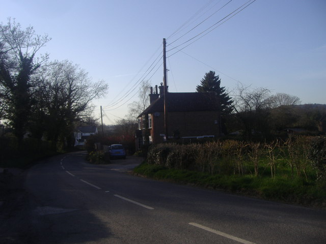
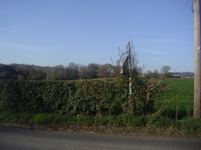
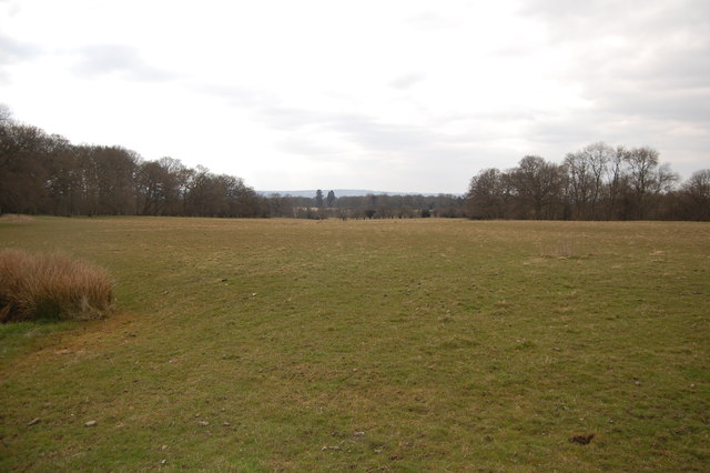
Derby Wood, located in Kent, England, is a picturesque and expansive forest that offers a serene and tranquil escape from the hustle and bustle of everyday life. Spanning over a vast area, the wood is renowned for its rich biodiversity and stunning natural beauty.
The wood is home to a diverse range of trees, including oak, beech, and birch, which create a dense canopy overhead and provide a habitat for numerous species of birds, mammals, and insects. The forest floor is covered in a lush carpet of ferns, bluebells, and wildflowers, adding to the enchanting atmosphere.
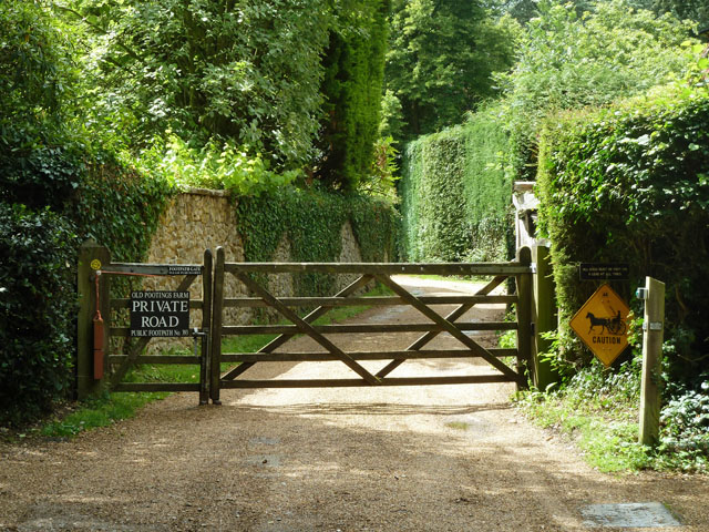
A network of well-maintained footpaths and trails wind their way through Derby Wood, offering visitors the opportunity to explore and discover its hidden treasures. These paths cater to various abilities, making the wood accessible to all nature enthusiasts, from avid hikers to families with young children.
The wood is also a popular spot for birdwatching, with a wide array of species, including woodpeckers, nuthatches, and warblers, frequently spotted among the trees. Nature lovers can spend hours observing and listening to the melodious chirping and calls of these feathered inhabitants.
Derby Wood is not only a haven for wildlife but also a place of historical significance. It has seen human occupation since ancient times and is dotted with remnants of old settlements and Iron Age hillforts. These archaeological features add an extra layer of intrigue and appeal for those interested in delving into the area's past.
Overall, Derby Wood in Kent is a remarkable treasure trove of natural wonders and historical intrigue, offering visitors a chance to immerse themselves in the beauty of nature while exploring the rich heritage of the region.
If you have any feedback on the listing, please let us know in the comments section below.
Derby Wood Images
Images are sourced within 2km of 51.237044/0.088914448 or Grid Reference TQ4550. Thanks to Geograph Open Source API. All images are credited.


Derby Wood is located at Grid Ref: TQ4550 (Lat: 51.237044, Lng: 0.088914448)
Administrative County: Kent
District: Sevenoaks
Police Authority: Kent
What 3 Words
///goods.when.tribune. Near Westerham, Kent
Nearby Locations
Related Wikis

Chartwell
Chartwell is a country house near Westerham, Kent, in South East England. For over forty years it was the home of Sir Winston Churchill. He bought the...

Toys Hill
Toys Hill is a hamlet which lies within Brasted civil parish in the Sevenoaks district of Kent, England. It lies to the south of Brasted Chart, also in...

Holy Trinity Church, Crockham Hill
Holy Trinity Church is a Church of England parish church based in Crockham Hill, Kent, England. It was constructed in 1842 and is a Grade II listed building...

Crockham Hill
Crockham Hill is a village in the Sevenoaks district of Kent, England. It is about 3 miles (5 km) south of Westerham, and Chartwell is nearby. The village...

Scord's Wood and Brockhoult Mount
Scord's Wood and Brockhoult Mount is a 252.3-hectare (623-acre) biological Site of Special Scientific Interest west of Sevenoaks in Kent. Scord's Wood...

Westerham Mines
Westerham Mines is a 25.4-hectare (63-acre) biological Site of Special Scientific Interest south of Westerham in Kent.The main interest of this site lies...

Four Elms
Four Elms is a village within the civil parish of Hever in the Sevenoaks District of Kent, England. The village is located on a crossroads between Edenbridge...

Emmetts Garden
Emmetts Garden is an Edwardian estate located at Ide Hill, near Sevenoaks in Kent, UK. It is now owned by the National Trust for Places of Historic Interest...
Nearby Amenities
Located within 500m of 51.237044,0.088914448Have you been to Derby Wood?
Leave your review of Derby Wood below (or comments, questions and feedback).