Covet Wood

Wood, Forest in Kent

England

Covet Wood

Sayes Court Road, St Mary Cray Houses on Sayes Court Road in St Mary Cray, in the outer suburbs of South East London.
Sayes Court Road, St Mary Cray Credit: Malc McDonald

Covet Wood, located in the county of Kent, England, is a picturesque forest area renowned for its natural beauty and diverse wildlife. Stretching over an expansive area, this woodland is a haven for outdoor enthusiasts and nature lovers alike.

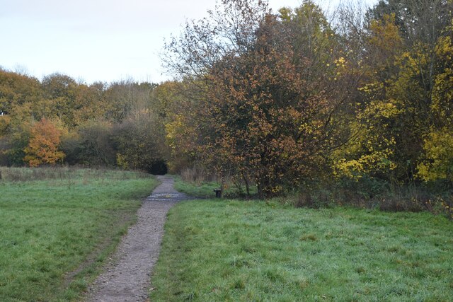
The forest is characterized by its dense, ancient woodland, composed primarily of broadleaf trees such as oak, beech, and ash. These towering trees provide a rich habitat for a wide range of flora and fauna, making it a biodiversity hotspot. Visitors can explore the woodland through a network of well-maintained trails, offering a tranquil and immersive experience in nature.

Covet Wood is home to numerous species of wildlife, including deer, foxes, badgers, and a variety of bird species. Birdwatchers will be delighted by the opportunity to spot rare and migratory birds that frequent the area. The forest also supports a diverse range of plants, including wildflowers, ferns, and mosses, creating a vibrant and colorful landscape throughout the seasons.

For those interested in history, Covet Wood holds archaeological significance, with evidence of human occupation dating back to ancient times. The remains of Iron Age settlements and Roman artifacts have been discovered in the area, adding to its cultural value.

Covet Wood offers a range of recreational activities, including walking, hiking, picnicking, and photography. The forest is well-maintained, with designated picnic areas and viewpoints for visitors to enjoy the stunning scenery. Additionally, guided nature walks and educational programs are available for those seeking a deeper understanding of the forest's ecological importance.

In summary, Covet Wood in Kent is a captivating and vibrant forest, offering a unique opportunity to connect with nature, explore its rich biodiversity, and immerse oneself in the tranquility of this ancient woodland.

If you have any feedback on the listing, please let us know in the comments section below.
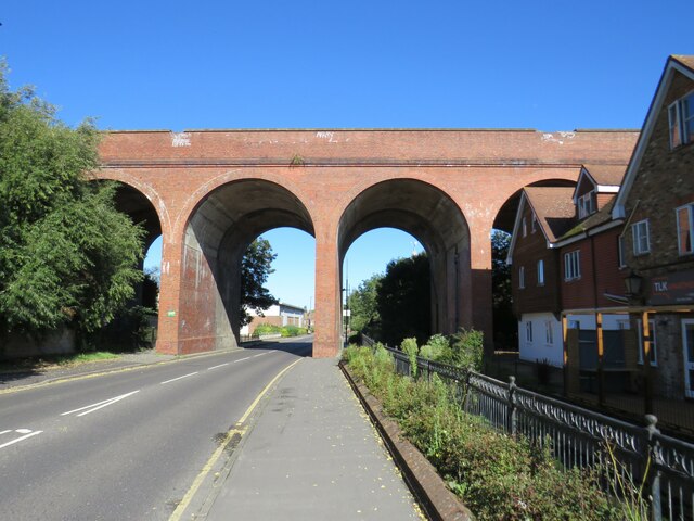
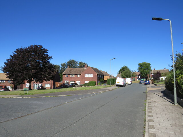
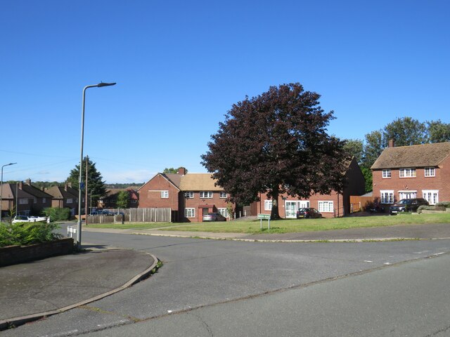
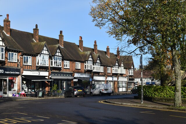
Covet Wood Images

Images are sourced within 2km of 51.385977/0.093491116 or Grid Reference TQ4567. Thanks to Geograph Open Source API. All images are credited.

Sayes Court Road, St Mary Cray Houses on Sayes Court Road in St Mary Cray, in the outer suburbs of South East London.
Sayes Court Road, St Mary Cray
Houses on Sayes Court Road in St Mary Cray, in the outer suburbs of South East London.
Houses on Leesons Hill, St Mary Cray Houses on Leesons Hill, in St Mary Cray in the outer suburbs of south east London.

This image was taken at around midday on a very sunny October day.  The shadows are nevertheless longer than during the summer months, as the sun is lower in the sky.
Houses on Leesons Hill, St Mary Cray
Houses on Leesons Hill, in St Mary Cray in the outer suburbs of south east London. This image was taken at around midday on a very sunny October day. The shadows are nevertheless longer than during the summer months, as the sun is lower in the sky.
Murray Road, St Mary Cray Murray Road accesses a small industrial estate in St Mary Cray, in the outer suburbs of south east London.
Murray Road, St Mary Cray
Murray Road accesses a small industrial estate in St Mary Cray, in the outer suburbs of south east London.
Warehouse in St Mary Cray A warehouse in St Mary Cray, in the outer suburbs of south east London.
Warehouse in St Mary Cray
A warehouse in St Mary Cray, in the outer suburbs of south east London.
Railway viaduct, St Mary Cray A railway viaduct in St Mary Cray, in the outer suburbs of south east London.  The viaduct carries the main line from London to Chatham, Dover and the Isle of Thanet.

Look closely at the viaduct arches, and it may become obvious that it is two structures, one behind the other.  The railway line originally had two tracks, carried by the viaduct further back.  Two more tracks were added in the late 1950s, which meant the viaduct needed to be widened.  This was done by adding the section of viaduct in front, closer to the camera.
Railway viaduct, St Mary Cray
A railway viaduct in St Mary Cray, in the outer suburbs of south east London. The viaduct carries the main line from London to Chatham, Dover and the Isle of Thanet. Look closely at the viaduct arches, and it may become obvious that it is two structures, one behind the other. The railway line originally had two tracks, carried by the viaduct further back. Two more tracks were added in the late 1950s, which meant the viaduct needed to be widened. This was done by adding the section of viaduct in front, closer to the camera.
Burrfield Drive, St Mary Cray Burrfield Drive is a residential road in St Mary Cray, in the outer suburbs of south east London.
Burrfield Drive, St Mary Cray
Burrfield Drive is a residential road in St Mary Cray, in the outer suburbs of south east London.
Berens Road, St Mary Cray Berens Road is a residential road in St Mary Cray, in the outer suburbs of south east London.
Berens Road, St Mary Cray
Berens Road is a residential road in St Mary Cray, in the outer suburbs of south east London.
Grassy slope above Hoblingwell Wood
Leesons Hill
Leesons Hill
Commercial buildings seen across St Mary Cray station
Sloping verge beside Amherst Drive
Top of Cray Valley Road The road descends from this point into the Cray Valley south of St Mary Cray station.
Top of Cray Valley Road
The road descends from this point into the Cray Valley south of St Mary Cray station.
Poverest Road
Poverest Road
Station Square, Petts Wood
London Loop path in Jubilee Country Park
Autumn sunlight in Petts Wood
Train heading into Chislehurst Junction
Edlmann Memorial, Petts Wood In memory of Francis Edlmann who purchased the woodland to protect it from development. It was subsequently given to the National Trust.
Edlmann Memorial, Petts Wood
In memory of Francis Edlmann who purchased the woodland to protect it from development. It was subsequently given to the National Trust.
Show me another place!

Covet Wood is located at Grid Ref: TQ4567 (Lat: 51.385977, Lng: 0.093491116)

Unitary Authority: Bromley

Police Authority: Metropolitan

What 3 Words

///copy.landed.take. Near Orpington, London

Nearby Locations

Covet Wood

Related Wikis

Broom Hill, London

Broom Hill, sometimes spelt Broomhill, is a suburb of Orpington in southeast London, England, located in the London Borough of Bromley in Greater London...

Poverest

Poverest is an area in south-east London, England, within the London Borough of Bromley in Greater London. Prior to 1965 it was within the historic county...

Fordcroft Anglo-Saxon cemetery

Fordcroft Anglo-Saxon cemetery was a place of burial. It is located in the town of Orpington in South East London, South-East England. Belonging to the...

Orpington engine shed

The former Orpington engine shed is located in Orpington, Greater London, England. It is situated on the eastern side of the South East Main Line and to...

St Mary Cray

St Mary Cray is an area of South East London, England, within the London Borough of Bromley. Historically it was a market town in the county of Kent. It...

St Mary Cray railway station

St Mary Cray railway station is in St Mary Cray, South East London within the London Borough of Bromley. It is 14 miles 57 chains (23.7 km) down the line...

Petts Wood

Petts Wood is a town in south-east London, England, previously located in the historic county of Kent. It lies south of Chislehurst, west of St Paul's...

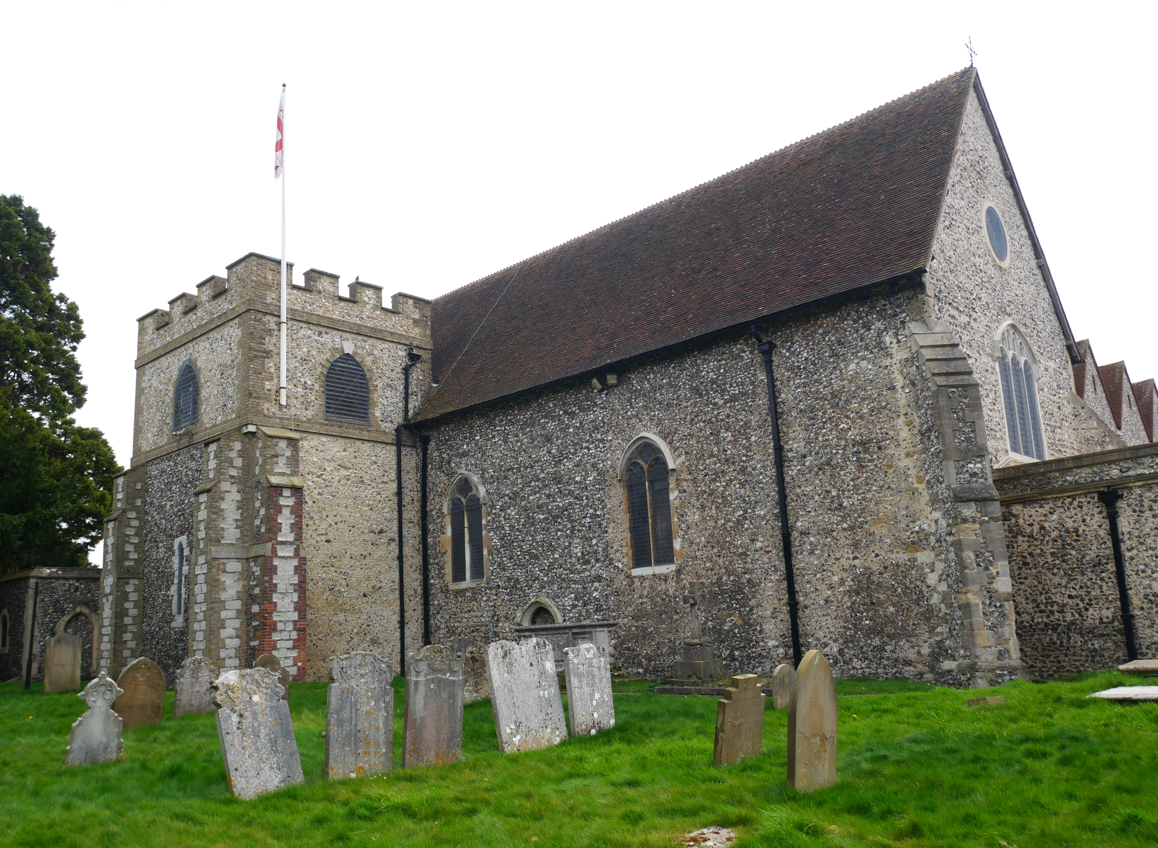
Church of All Saints, Orpington

The Church of All Saints is a Grade II* listed church in Orpington, Bromley, London. == History == The old part of the church dates back to the Anglo-Saxon...

Nearby Amenities

Located within 500m of 51.385977,0.093491116
Crossing
Lat/Long: 51.3872162/0.0877761
Crossing
Lat/Long: 51.3859232/0.0873608
Crossing
Crossing: unmarked
Crossing Island: yes
Crossing Markings: no
Lat/Long: 51.3834129/0.094363
Ref GB Tflcid: RWG193881
Traffic Calming: cushion
Lat/Long: 51.383333/0.0890844
Mini Roundabout
Direction: clockwise
Lat/Long: 51.3841419/0.090094
Turning Circle
Lat/Long: 51.3852232/0.0864142
Ref GB Tflcid: RWG196412
Traffic Calming: hump
Lat/Long: 51.3843775/0.0978821
Source: www.npemap.org.uk
Uk Postcode Centroid: BR5
Lat/Long: 51.389961/0.094139
Ref GB Tflcid: RWG193883
Traffic Calming: cushion
Lat/Long: 51.3838882/0.0897387
Post Box
Brand: Royal Mail
Brand Wikidata: Q638098
Operator: Royal Mail
Operator Wikidata: Q638098
Ref: BR5 247
Lat/Long: 51.3853107/0.0887528
Post Box
Brand: Royal Mail
Brand Wikidata: Q638098
Collection Times: Mo-Fr 16:15; Sa 12:00
Operator: Royal Mail
Operator Wikidata: Q638098
Post Box Type: pillar
Ref: BR6 173
Royal Cypher: GR
Lat/Long: 51.3818557/0.0953126
Waste Basket
Lat/Long: 51.3859609/0.0988236
Waste Basket
Lat/Long: 51.386497/0.0969807
Bench
Lat/Long: 51.3865255/0.096668
Post Box
Collection Times: Mo-Fr 18:00; Sa 12:00
Post Box Type: pillar
Ref: BR5 321
Royal Cypher: GR
Royal Cypher Wikidata: Q33102273
Lat/Long: 51.3895764/0.0977969
Aylesham Road
Naptan AtcoCode: 490003526S
Naptan Bearing: S
Naptan CommonName: Aylesham Road
Naptan Indicator: Stop
Naptan Verified: no
Lat/Long: 51.3837352/0.0897193
Bus Stop
Princes Avenue
Bench: no
Bin: no
Bus: yes
Local Ref: C
Naptan AtcoCode: 490011206N
Naptan Bearing: N
Naptan CommonName: Princes AvenueChislehurst Rd
Naptan Indicator: Stop C
Naptan Street: CHISLEHURST ROAD
Naptan Verified: no
Public Transport: platform
Shelter: no
Tactile Paving: no
Lat/Long: 51.3888009/0.0895764
Bus Stop
Perry Hall School
Bus: yes
Local Ref: P
Naptan AtcoCode: 490010948E
Naptan Bearing: E
Naptan CommonName: Perry Hall School
Naptan Indicator: Stop P
Naptan Street: PERRY HALL ROAD
Naptan Verified: no
Public Transport: platform
Ref: 58169
Shelter: yes
Source Ref: naptan
Timetable: yes
Lat/Long: 51.3835274/0.0951094
Bus Stop
Perry Hall School
Bus: yes
Local Ref: A
Naptan AtcoCode: 490010948W
Naptan Bearing: W
Naptan CommonName: Perry Hall School
Naptan Indicator: Stop A
Naptan Street: PERRY HALL ROAD
Naptan Verified: no
Public Transport: platform
Ref: 58287
Source Ref: naptan
Lat/Long: 51.3832907/0.0939848
Bus Stop
Chislehurst Road / Poverest Road
Bench: no
Bin: no
Bus: yes
Local Ref: L
Naptan AtcoCode: 490011154S
Naptan Bearing: S
Naptan CommonName: Chislehurst RoadPoverest Road
Naptan Indicator: Stop L
Naptan Street: CHISLEHURST ROAD
Naptan Verified: no
Public Transport: platform
Ref: 74516
Shelter: no
Source Ref: naptan
Tactile Paving: no
Lat/Long: 51.3900117/0.0903123
Bus Stop
Willett Way
Bench: no
Bus: yes
Local Ref: N
Naptan AtcoCode: 490014695E
Naptan Bearing: E
Naptan CommonName: Willett Way
Naptan Indicator: Stop N
Naptan Street: CHISLEHURST ROAD
Naptan Verified: no
Public Transport: platform
Ref: 49996
Shelter: no
Source Ref: naptan
Lat/Long: 51.3852144/0.0880803
Bus Stop
Willett Way
Bus: yes
Local Ref: B
Naptan AtcoCode: 490014695N
Naptan Bearing: N
Naptan CommonName: Willett Way
Naptan Indicator: Stop B
Naptan Street: CHISLEHURST ROAD
Naptan Verified: no
Public Transport: platform
Ref: 74924
Source Ref: naptan
Lat/Long: 51.3862136/0.0873496
Bus Stop
The Chenies
Bus: yes
Local Ref: M
Naptan AtcoCode: 490013293S
Naptan Bearing: S
Naptan CommonName: The Chenies
Naptan Indicator: Stop M
Naptan Street: CHISLEHURST ROAD
Naptan Verified: no
Public Transport: platform
Ref: 54352
Source Ref: naptan
Lat/Long: 51.3869266/0.0877662
Bench
Lat/Long: 51.385047/0.0962878
Generator Method: photovoltaic
Generator Output Electricity: yes
Generator Source: solar
Generator Type: solar_photovoltaic_panel
Power: generator
Lat/Long: 51.3818309/0.0923683
Post Box
Brand: Royal Mail
Brand Wikidata: Q638098
Collection Times: Mo-Fr 09:00, Sa 07:00
Operator: Royal Mail
Operator Wikidata: Q638098
Ref: BR5 384D
Lat/Long: 51.3873807/0.0909265
Ref GB Tflcid: RWG196311
Traffic Calming: hump
Lat/Long: 51.3865836/0.089119
Ref GB Tflcid: RWG196312
Traffic Calming: hump
Lat/Long: 51.3870641/0.0892783
Ref GB Tflcid: RWG196410
Traffic Calming: hump
Lat/Long: 51.3839868/0.0993853
Ref GB Tflcid: RWG193880
Traffic Calming: cushion
Lat/Long: 51.382849/0.0886642
Ref GB Tflcid: RWG196310
Traffic Calming: hump
Lat/Long: 51.3853111/0.0886971
Ref GB Tflcid: RWG196411
Traffic Calming: hump
Lat/Long: 51.384209/0.0987066
Ref GB Tflcid: RWG193882
Traffic Calming: cushion
Lat/Long: 51.383616/0.0894179
Barrier: cycle_barrier
Foot: yes
Lat/Long: 51.3828443/0.0976765
Barrier: motorcycle_barrier
Lat/Long: 51.3861092/0.098879
Barrier: motorcycle_barrier
Lat/Long: 51.3841612/0.09028
The data included in this document is from www.openstreetmap.org. The data is made available under ODbL.

Have you been to Covet Wood?

Leave your review of Covet Wood below (or comments, questions and feedback).