Cave Wood

Wood, Forest in Sussex Wealden

England

Cave Wood

New roundabout east of Maresfield
New roundabout east of Maresfield Credit: nick macneill

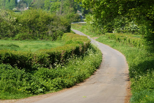
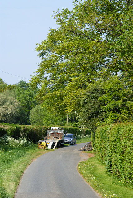
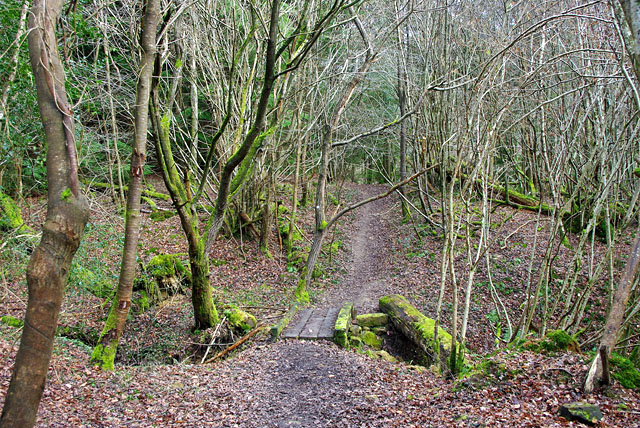
Cave Wood, located in Sussex, England, is a picturesque forest area known for its natural beauty and historical significance. Spanning over a vast area, the wood is home to a diverse range of flora and fauna, making it a popular destination for nature enthusiasts and hikers.

The wood derives its name from the presence of several caves that can be found scattered throughout the area. These caves, formed by natural processes over thousands of years, add a sense of mystery and intrigue to the wood. Exploring these caves is a fascinating experience, as they provide a glimpse into the geological history of the region.

The forest is predominantly composed of mature deciduous trees such as oak, beech, and birch, creating a dense canopy that provides shade and shelter. This rich habitat supports a variety of wildlife, including deer, foxes, badgers, and numerous bird species. The wood is also home to a diverse array of plant life, with wildflowers, ferns, and mosses carpeting the forest floor.

In addition to its natural beauty, Cave Wood holds significant historical importance. The wood is believed to have been inhabited by humans since ancient times, and archaeological evidence suggests that it was once used as a hunting ground during the Neolithic period. The area has also witnessed medieval settlements and was a source of timber for local industries in the past.

Today, Cave Wood continues to attract visitors who appreciate its scenic beauty, tranquility, and historical significance. Whether it's exploring the caves, embarking on a leisurely stroll, or simply enjoying the serenity of nature, this wood offers a delightful experience for all who venture within its boundaries.

If you have any feedback on the listing, please let us know in the comments section below.
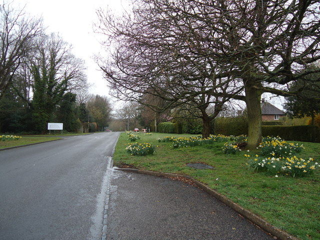
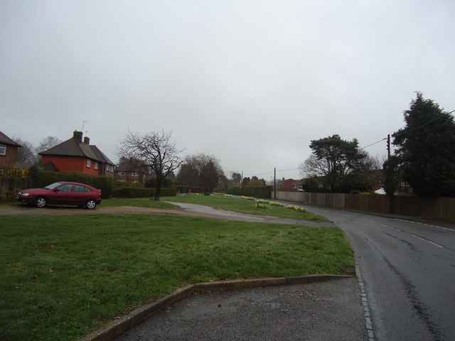
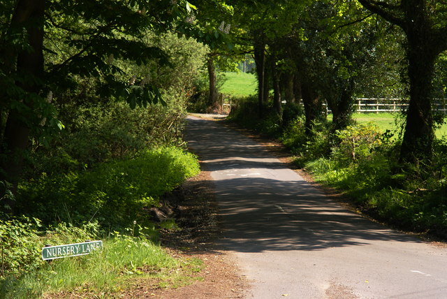
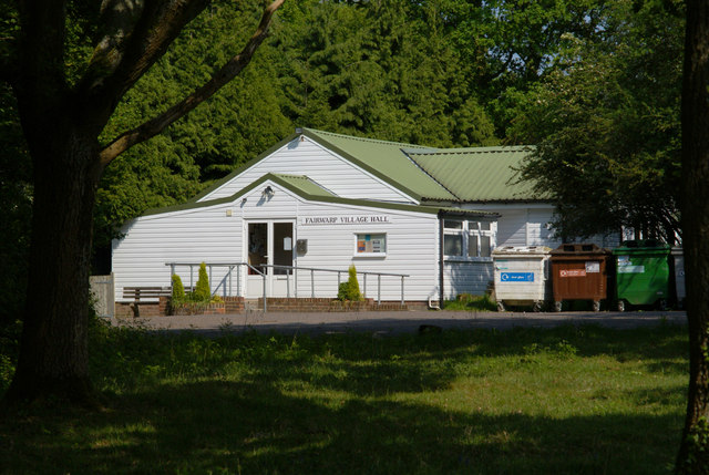
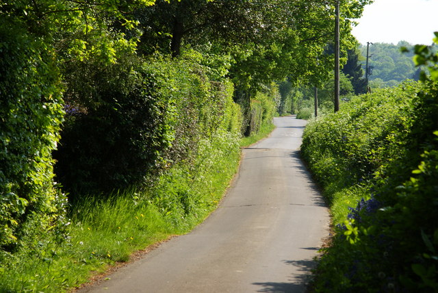
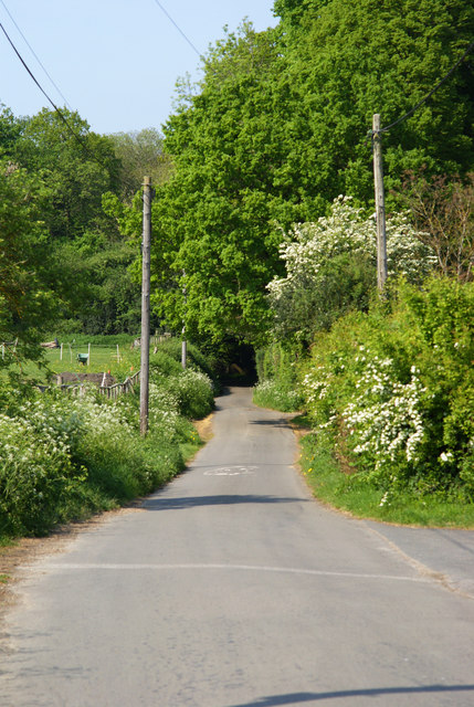
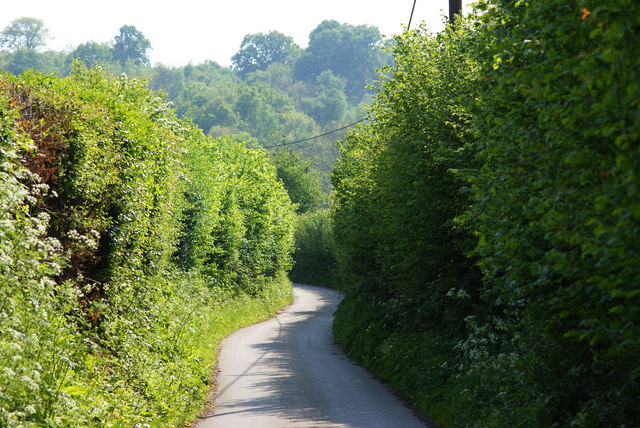
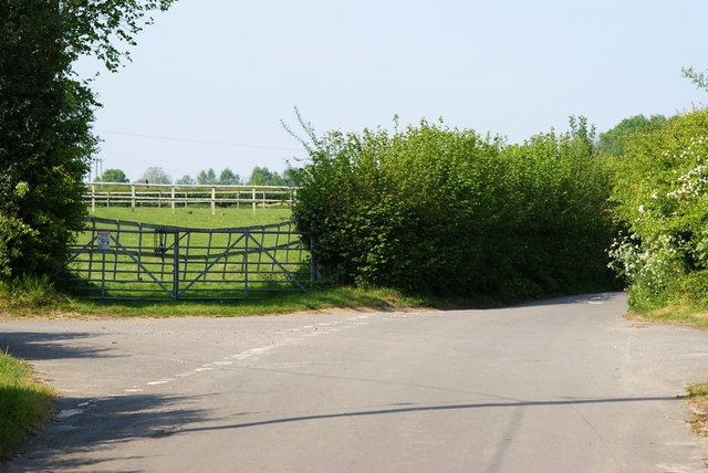
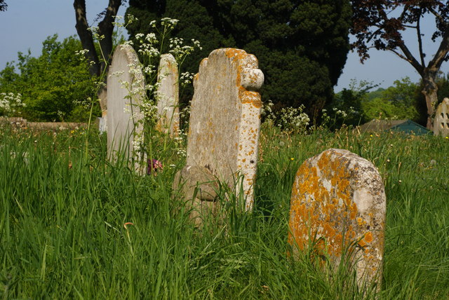
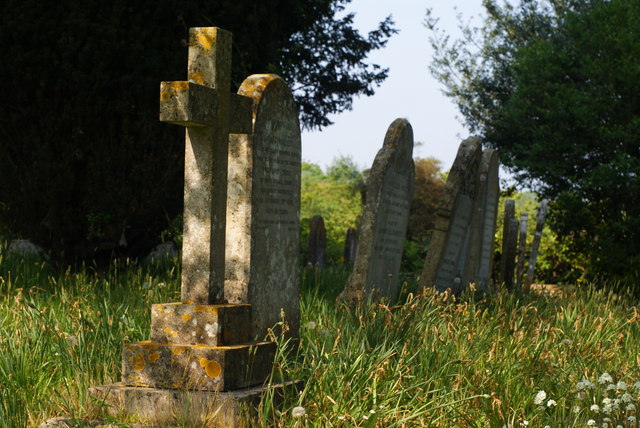
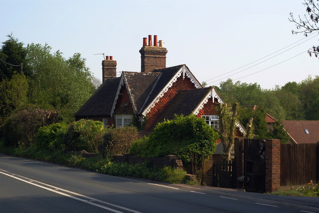
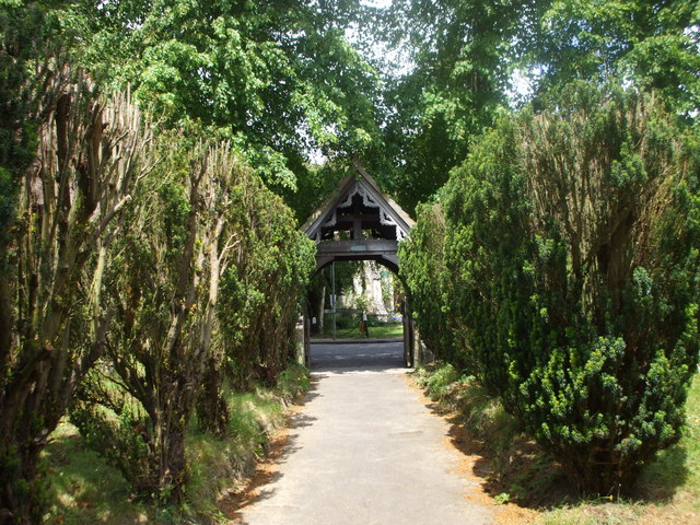
Cave Wood Images

Images are sourced within 2km of 51.005971/0.076221194 or Grid Reference TQ4525. Thanks to Geograph Open Source API. All images are credited.

New roundabout east of Maresfield
Batts Bridge Road, Maresfield
B2026 at Fairwarp, Sussex Looking in the direction of the Ashdown Forest. Note the 40 MPH speed limit, marked on the road. Fairwarp Church, hidden behind trees, is located near the centre of picture. The gateway, to the church, can just be seen.
B2026 at Fairwarp, Sussex
Looking in the direction of the Ashdown Forest. Note the 40 MPH speed limit, marked on the road. Fairwarp Church, hidden behind trees, is located near the centre of picture. The gateway, to the church, can just be seen.
Nursery Lane, Fairwarp, Sussex An inviting country lane, seen from the B2026.
Nursery Lane, Fairwarp, Sussex
An inviting country lane, seen from the B2026.
Fairwarp Village Hall, Sussex Photographed from Nursery Lane.
Fairwarp Village Hall, Sussex
Photographed from Nursery Lane.
Nursery Lane, Fairwarp, Sussex A quiet country lane. Out of picture, to the left, a row of houses is hidden by the high hedge.
Nursery Lane, Fairwarp, Sussex
A quiet country lane. Out of picture, to the left, a row of houses is hidden by the high hedge.
Nursery Lane, Fairwarp, Sussex Looking in the direction of Fairwarp village. A row of houses is out of picture, to the right.
Nursery Lane, Fairwarp, Sussex
Looking in the direction of Fairwarp village. A row of houses is out of picture, to the right.
Nursery Lane, Fairwarp, Sussex Looking in the direction of Maresfield. Note the high hedges, either side of this narrow lane.
Nursery Lane, Fairwarp, Sussex
Looking in the direction of Maresfield. Note the high hedges, either side of this narrow lane.
Junction of Nursery Lane and Burrells Lane, Sussex The location is just north of the Maresfield Park estate.
Junction of Nursery Lane and Burrells Lane, Sussex
The location is just north of the Maresfield Park estate.
Nursery Lane, Maresfield, Sussex Photograph taken from beside Nightingale Wood, looking north.
Nursery Lane, Maresfield, Sussex
Photograph taken from beside Nightingale Wood, looking north.
Nursery Lane, Maresfield, Sussex The large tree, to the right of picture, marks the position of Oak Tree Cottage.
Nursery Lane, Maresfield, Sussex
The large tree, to the right of picture, marks the position of Oak Tree Cottage.
Entrance to Maresfield Park, Sussex Formerly a large private estate, the road beyond the gatehouse is still marked as 'private'. Judging from the gatehouse, it must have been an impressive estate in its heyday.
Entrance to Maresfield Park, Sussex
Formerly a large private estate, the road beyond the gatehouse is still marked as 'private'. Judging from the gatehouse, it must have been an impressive estate in its heyday.
High Street, Maresfield, Sussex Photographed from close to Maresfield church.
High Street, Maresfield, Sussex
Photographed from close to Maresfield church.
Graves in Maresfield Cemetery, Sussex Photographed from the footpath in High Street.
Graves in Maresfield Cemetery, Sussex
Photographed from the footpath in High Street.
Graves in Maresfield Cemetery, Sussex Photographed from the footpath on High Street.
Graves in Maresfield Cemetery, Sussex
Photographed from the footpath on High Street.
The Mill House, Maresfield, Sussex The former mill house lies just within this grid square. The pond, serving this house, lies to the west; an aerial view suggests that the pond may have been truncated by the construction of the A22 Maresfield bypass, some years ago.
The Mill House, Maresfield, Sussex
The former mill house lies just within this grid square. The pond, serving this house, lies to the west; an aerial view suggests that the pond may have been truncated by the construction of the A22 Maresfield bypass, some years ago.
Church path, Maresfield Parish Church
Show me another place!

Cave Wood is located at Grid Ref: TQ4525 (Lat: 51.005971, Lng: 0.076221194)

Administrative County: East Sussex

District: Wealden

Police Authority: Sussex

What 3 Words

///watching.whips.composes. Near Uckfield, East Sussex

Related Wikis

Maresfield

Maresfield is a village and civil parish in the Wealden District of East Sussex, England. The village itself lies 1.5 miles (2.4 km) north from Uckfield...

A.F.C. Uckfield Town

A.F.C. Uckfield Town is a community football club based in Uckfield, East Sussex, England. They are currently members of the Southern Combination Premier...

A.F.C. Uckfield

Association Football Club Uckfield was a football club based in Uckfield, East Sussex, England. == History == The club was formed in 1988 as Wealden Football...

Buxted Park

Buxted Park is an 84.7 hectare (206.16 acre) biological Site of Special Scientific Interest, located near the village of Buxted, East Sussex, England....

Rock Wood

Rock Wood is a 10.4-hectare (26-acre) biological Site of Special Scientific Interest north of Uckfield in East Sussex.This ancient wood has several different...

Fairwarp

Fairwarp is a small village within the civil parish of Maresfield in the Wealden district of East Sussex, England. Its nearest town is Uckfield, which...

Brickfield Meadow

Brickfield Meadow is a 1.4-hectare (3.5-acre) nature reserve north of Maresfield in East Sussex. It is managed by the Sussex Wildlife Trust.This wildflower...

Five Ash Down

Five Ash Down is a small village within the civil parish of Buxted, in the Wealden district of East Sussex, England. Its nearest town is Uckfield, which...

Have you been to Cave Wood?

Leave your review of Cave Wood below (or comments, questions and feedback).