Abergorlech
Settlement in Carmarthenshire
Wales
Abergorlech
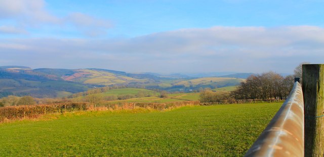
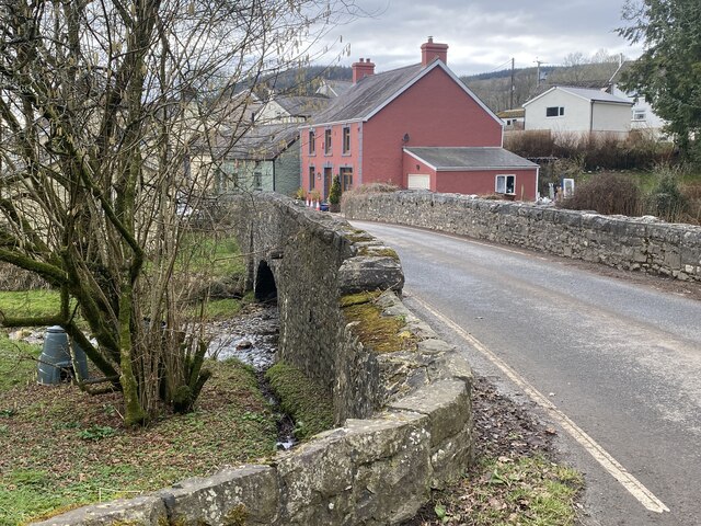
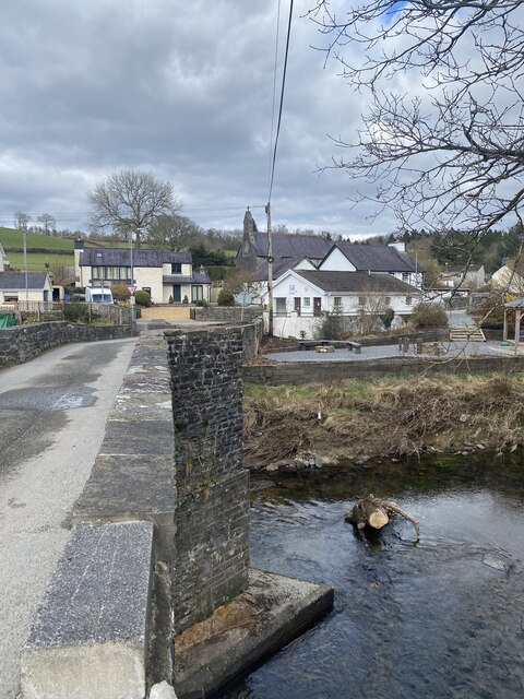
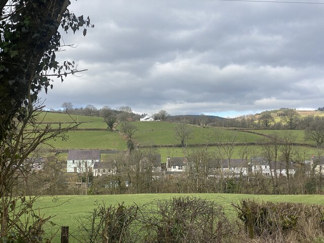
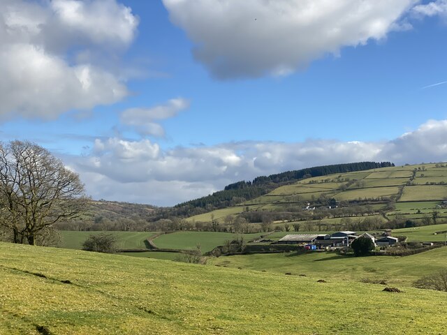
Abergorlech is a small village located in the county of Carmarthenshire, Wales. Situated in the western part of the county, it lies within the lush countryside of the Cothi Valley. The village is nestled along the banks of the River Cothi, offering picturesque views and a tranquil atmosphere.
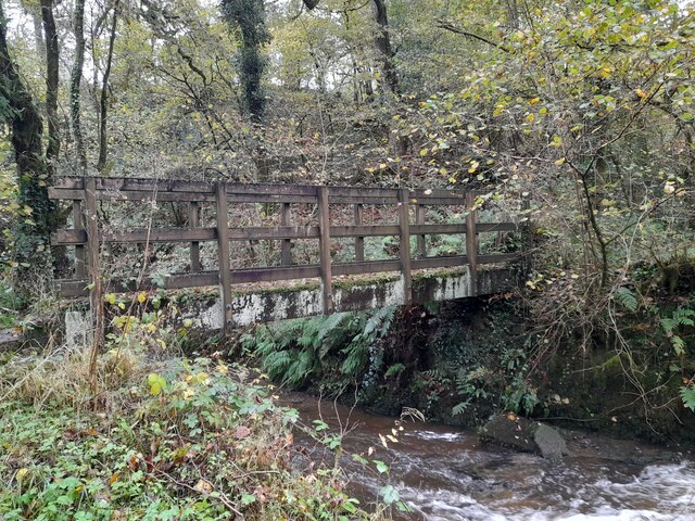
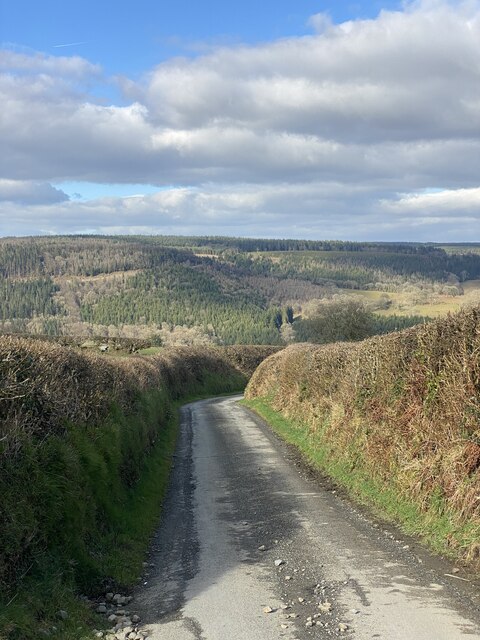
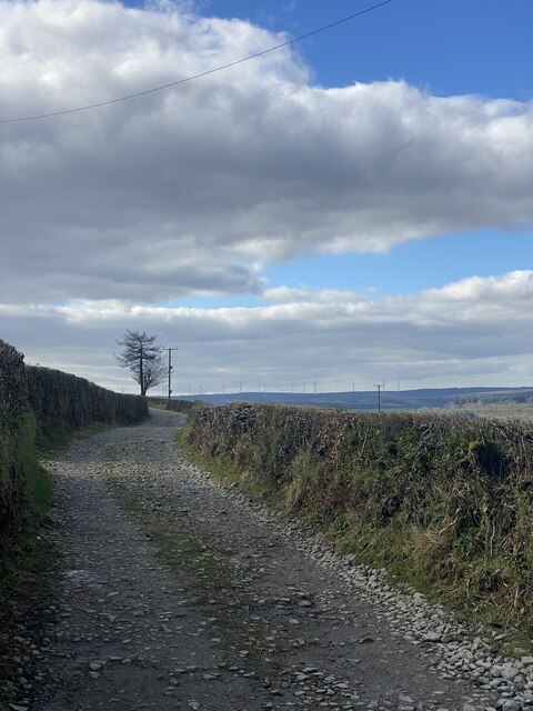
With a population of around 400 residents, Abergorlech exudes a sense of close-knit community and rural charm. The village is known for its stunning natural surroundings, including dense woodlands and rolling hills, making it a haven for outdoor enthusiasts. The area is particularly popular among walkers, hikers, and cyclists, with numerous trails and paths to explore.
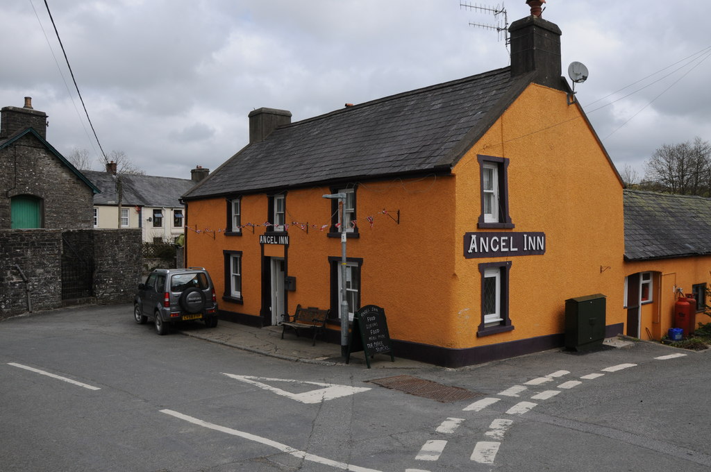
Abergorlech is home to several historic landmarks, such as the ancient ruins of Abergorlech Church, which dates back to the 12th century. The village also boasts a charming pub, where locals and visitors can gather for a pint and enjoy traditional Welsh hospitality.
Despite its small size, Abergorlech offers a range of amenities to cater to the needs of its residents. These include a primary school, a community hall, and a local shop, providing essential services within easy reach.
Overall, Abergorlech offers a tranquil escape from the hustle and bustle of urban life, with its natural beauty and strong community spirit. Whether it is exploring the surrounding countryside or immersing oneself in the village's rich history, Abergorlech offers a peaceful retreat in the heart of Carmarthenshire.
If you have any feedback on the listing, please let us know in the comments section below.
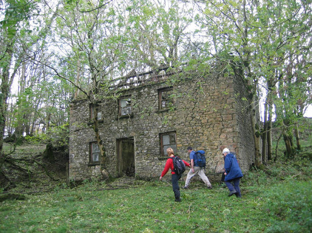
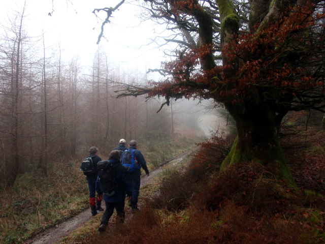
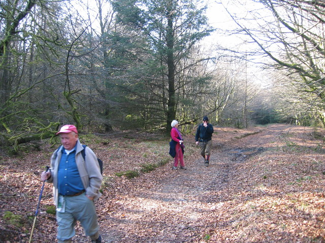
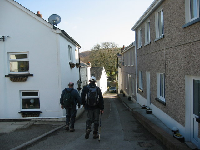
Abergorlech Images
Images are sourced within 2km of 51.983984/-4.063398 or Grid Reference SN5833. Thanks to Geograph Open Source API. All images are credited.


Abergorlech is located at Grid Ref: SN5833 (Lat: 51.983984, Lng: -4.063398)
Unitary Authority: Carmarthenshire
Police Authority: Dyfed Powys
What 3 Words
///fattest.upstarts.habit. Near Llansawel, Carmarthenshire
Nearby Locations
Related Wikis

Abergorlech
Abergorlech is a village 8 miles (13 km) to the north-west of Llandeilo in Carmarthenshire, Wales. It lies on the River Cothi on the B4310 road, between...

Llanfihangel Rhos-y-Corn
Llanfihangel Rhos-y-Corn is a sparsely populated community of Carmarthenshire, Wales. The population of the community taken at the 2011 census was 468...
Llansawel
Llansawel is a village and community in Carmarthenshire, Wales, about ten miles north of Llandeilo. It covers an area of 4,079 hectares (15.75 sq mi)....
Llansawel transmitting station
The Llansawel television relay station is sited on high ground to the north of the village of Llansawel in Carmarthenshire, South Wales. It was originally...

Talley Lakes
Upper Talley Lake (Welsh: Llyn Talyllychau Uchaf) and Lower Talley Lake (Welsh: Llyn Talyllychau Isaf) are two small lakes immediately north of the village...
Edwinsford
Edwinsford is a small hamlet situated about the historic Edwinsford Estate and fishery on the river Cothi, a tributary of the River Tywi, in Carmarthenshire...

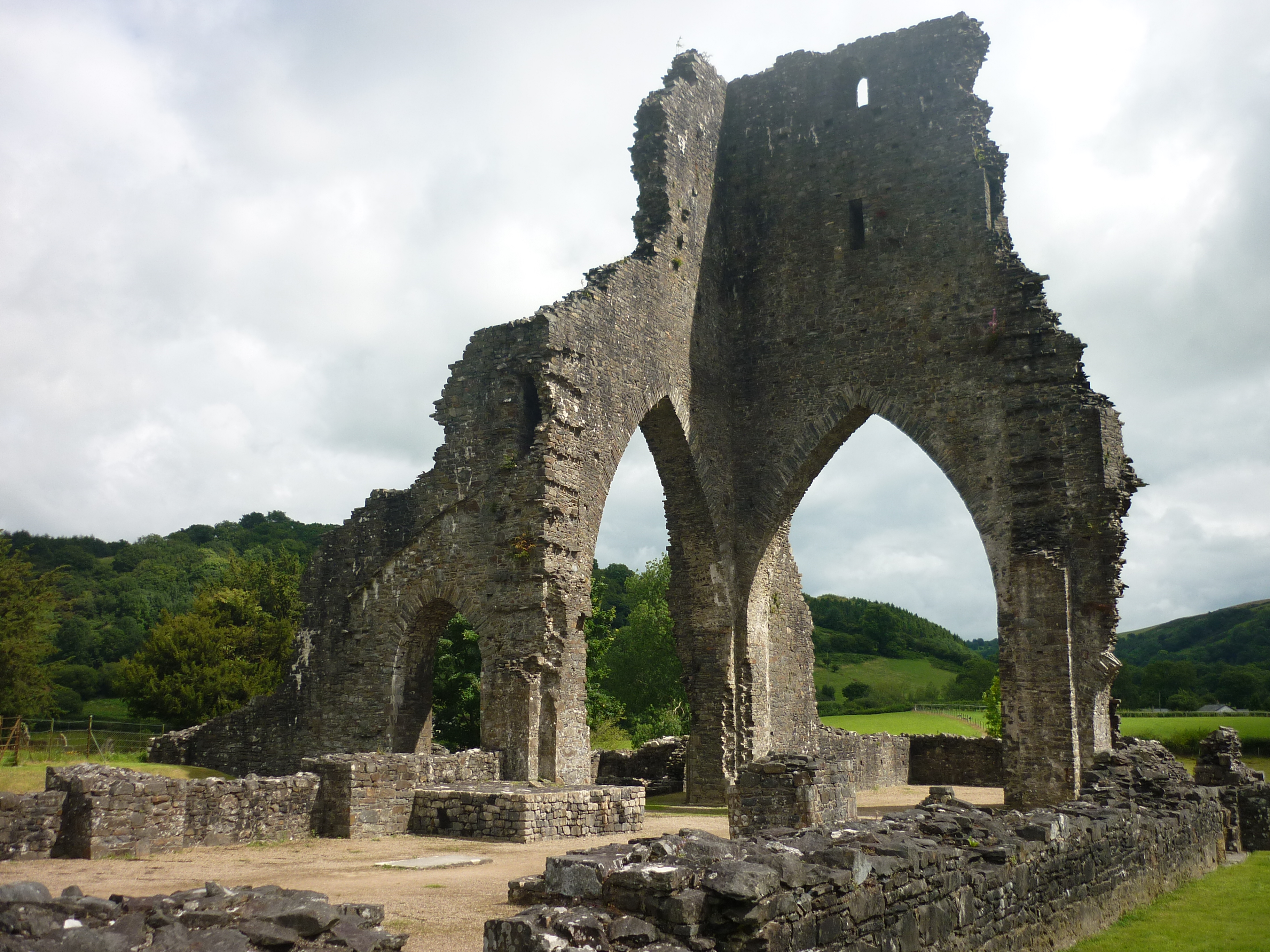
Talley Abbey
Talley Abbey (Welsh: Abaty Talyllychau) is a ruined former monastery of the Premonstratensians ("White Canons") in the village of Talley in Carmarthenshire...
Talley
Talley (Welsh: Talyllychau, historically Tal y Llychau) is a village and community in Carmarthenshire, Wales.The population taken at the 2011 census was...
Related Videos

Practising Knife Control for Better Wood Carving - Wood Carving Tips
Wood Carving Tip video - In this video, Paul talks about the importance of doing simple exercises to practise his knife control.
This one put up a fight! The challenges of wood carving this Oak wood Overmantle
In this video, Paul wrestles with a reclaimed Oak wood wardrobe plinth that was gifted to us from someone in the village.
Wood Carving Hack - How I turned a screw into a cutter to mount flat-backed carvings
Wood carving hack - how I turned a screw into a cutter to mount flat-backed carvings In this video I show you how I mount ...
How I carve a Celtic Cross pendant / wild Wood Carving by the river and in the forest
A wood carving video - making a Celtic Cross pendant necklace. The Celtic Cross is a unique design and uses chip carving ...
Nearby Amenities
Located within 500m of 51.983984,-4.063398Have you been to Abergorlech?
Leave your review of Abergorlech below (or comments, questions and feedback).