Gassonsfield Wood
Wood, Forest in Sussex Wealden
England
Gassonsfield Wood
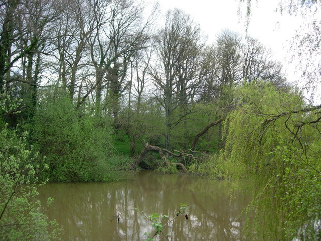
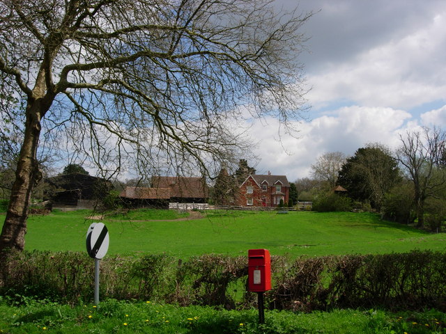
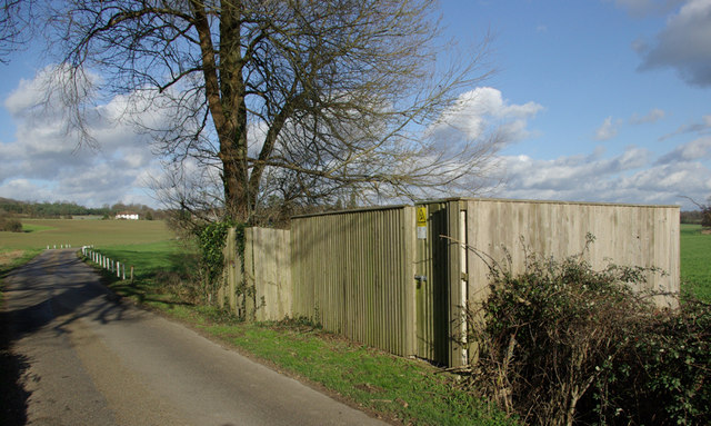
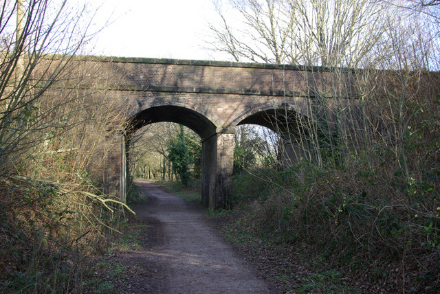
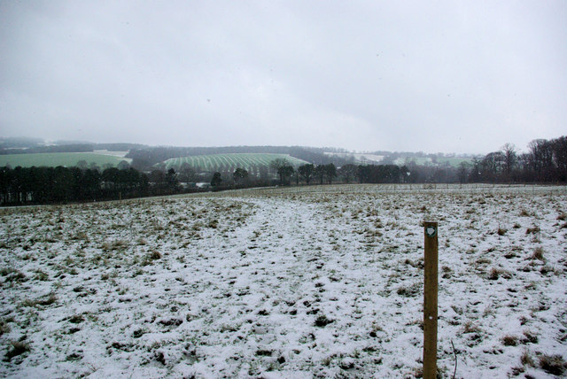
Gassonsfield Wood is a picturesque woodland located in Sussex, England. Covering an area of approximately 50 hectares, it is a popular destination for nature lovers and outdoor enthusiasts. The wood is nestled within the stunning South Downs National Park, boasting a diverse range of flora and fauna.
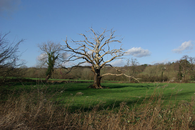
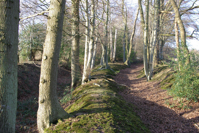
The woodland is predominantly made up of broadleaf trees such as oak, beech, and ash, creating a rich and vibrant canopy. These trees provide a haven for numerous bird species, including woodpeckers, nightingales, and tawny owls, making it an ideal spot for birdwatching. In addition to the avian population, Gassonsfield Wood is also home to a variety of mammals, such as badgers, foxes, and deer, adding to its natural charm.
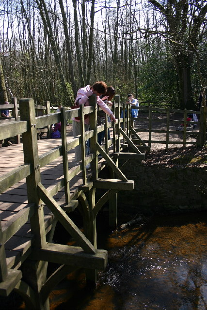
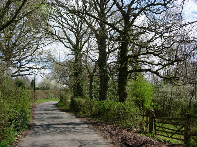
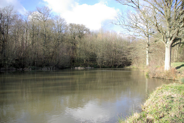
Visitors to Gassonsfield Wood can explore its scenic trails, which wind through the ancient woodland, offering stunning views of the surrounding countryside. Along the way, there are designated picnic areas and benches, perfect for families and those seeking a peaceful retreat.
The wood has a rich history, with evidence of human activity dating back thousands of years. Archaeological finds have included Roman pottery fragments and Iron Age artifacts, indicating that the area has been inhabited for centuries.
Gassonsfield Wood is managed by the Sussex Wildlife Trust, aiming to preserve its natural beauty and protect its wildlife. They provide educational programs and guided walks to promote awareness and understanding of the woodland's ecological importance.
Overall, Gassonsfield Wood is a captivating destination, offering a tranquil escape into nature, abundant wildlife, and a glimpse into the region's past. Whether it's for a leisurely stroll, birdwatching, or a family picnic, this woodland is a must-visit for nature enthusiasts and history lovers alike.
If you have any feedback on the listing, please let us know in the comments section below.
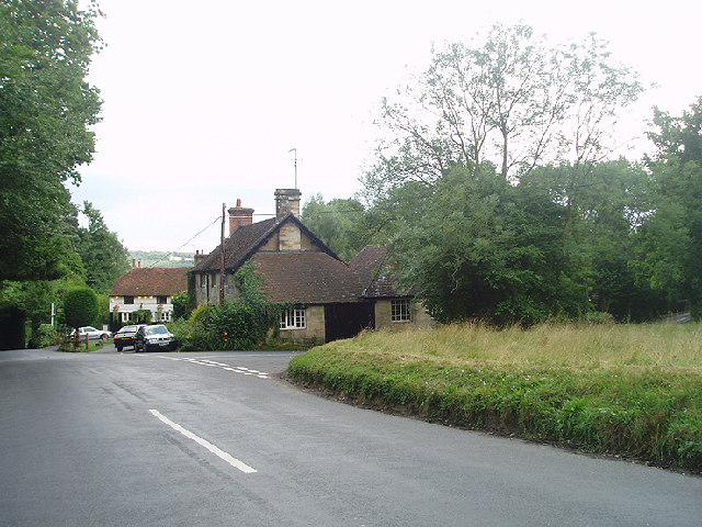
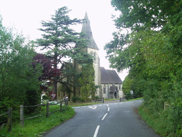
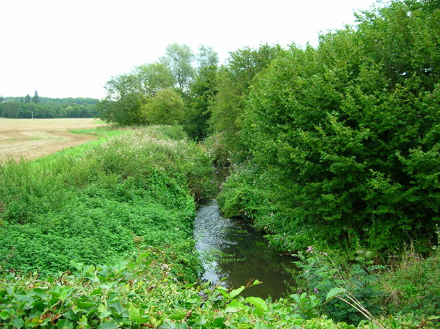
Gassonsfield Wood Images
Images are sourced within 2km of 51.095413/0.078068718 or Grid Reference TQ4534. Thanks to Geograph Open Source API. All images are credited.


Gassonsfield Wood is located at Grid Ref: TQ4534 (Lat: 51.095413, Lng: 0.078068718)
Administrative County: East Sussex
District: Wealden
Police Authority: Sussex
What 3 Words
///eagles.forwarded.playfully. Near Forest Row, East Sussex
Nearby Locations
Related Wikis

Upper Hartfield
Upper Hartfield is a small village slightly west of Hartfield in East Sussex, England. The Tudor house "Apedroc" in Upper Hartfield is the former home...

Ashdown House, East Sussex
Ashdown House is a country house and former school near Forest Row, East Sussex, England, a Grade II* listed building. One of the first houses in England...

Emerson College (UK)
Emerson College, UK was founded in 1962 by Francis Edmunds. It is now situated on Pixton Hill, Forest Row in East Sussex, UK. It was named after Ralph...
Cotchford Farm
Cotchford Farm is a farmhouse building to the southwest of the village of Hartfield, East Sussex, in the High Weald Area of Outstanding Natural Beauty...

Hartfield
Hartfield is a village and civil parish in the Wealden district of East Sussex, England. The parish also includes the settlements of Colemans Hatch, Hammerwood...

Hartfield railway station
Hartfield was a railway station serving Hartfield, England, on the Three Bridges to Tunbridge Wells Central Line which closed in 1967, a casualty of the...
Forest Row railway station
Forest Row was a railway station on the Three Bridges to Tunbridge Wells Central Line which closed in 1967, a casualty of the Beeching Axe.The station...

Bassetts Manor
Bassetts Manor is a Grade II-listed building in Hartfield, East Sussex, England. == Location == The manor is located North of the village of Hartfield...
Nearby Amenities
Located within 500m of 51.095413,0.078068718Have you been to Gassonsfield Wood?
Leave your review of Gassonsfield Wood below (or comments, questions and feedback).