Forty Acre Plantation
Wood, Forest in Cambridgeshire South Cambridgeshire
England
Forty Acre Plantation
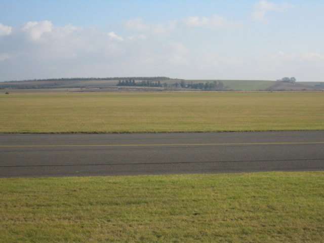
Forty Acre Plantation is a picturesque woodland located in Cambridgeshire, England. Covering an area of approximately forty acres, this plantation is a haven for nature enthusiasts and those seeking a tranquil escape from city life.
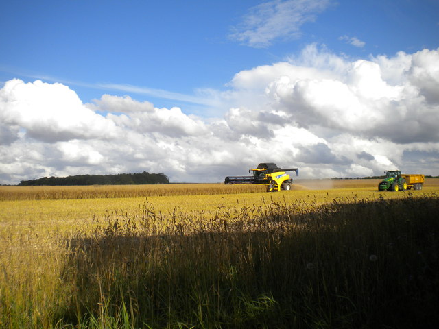
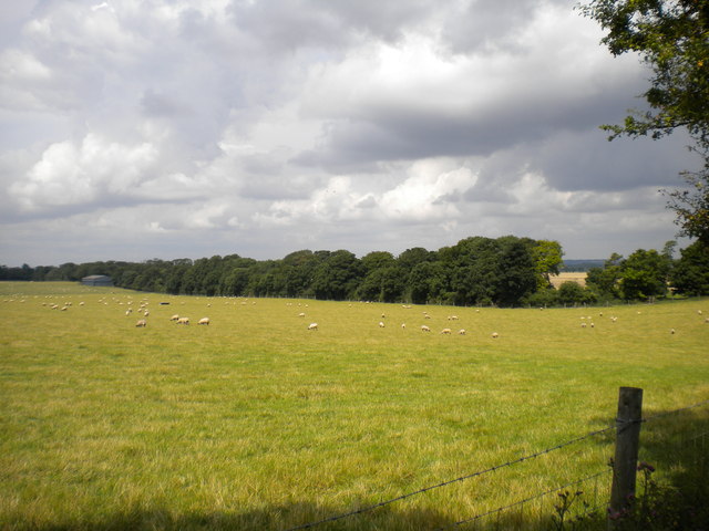
The plantation is predominantly composed of a variety of tall and majestic trees, creating a dense and verdant forest. The diverse range of tree species found here includes oak, beech, ash, and birch, among others. These trees create a lush canopy, providing shade and shelter for a myriad of flora and fauna.
The woodland is crisscrossed by several well-maintained footpaths, allowing visitors to explore the plantation at their own pace. The paths wind through the forest, offering breathtaking views of the surrounding landscape and providing an opportunity to spot wildlife such as deer, squirrels, and a multitude of bird species.
Forty Acre Plantation is not only a natural paradise but also holds historical significance. It is believed to have been a part of a larger estate dating back several centuries. The plantation's well-preserved boundaries and remnants of old stone walls serve as reminders of its rich past.
The plantation is open to the public year-round, and visitors can enjoy leisurely walks, picnicking, or simply immersing themselves in the serenity of nature. The management ensures the preservation of the woodland's ecological balance, making it an ideal destination for both nature lovers and conservationists. A visit to Forty Acre Plantation promises a rejuvenating experience amidst the beauty of Cambridgeshire's natural heritage.
If you have any feedback on the listing, please let us know in the comments section below.
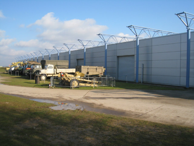
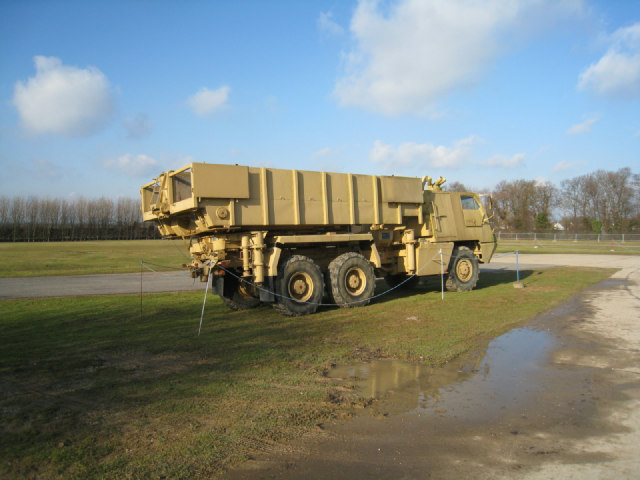
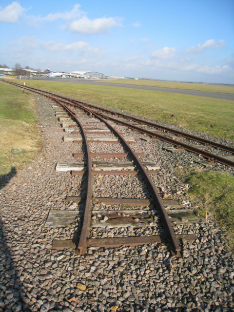
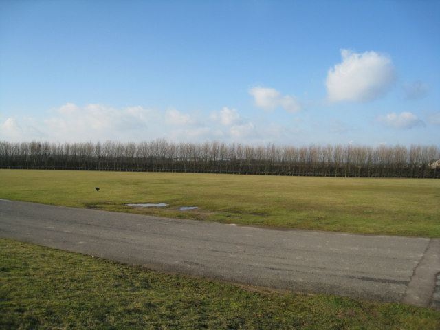
Forty Acre Plantation Images
Images are sourced within 2km of 52.074874/0.11566178 or Grid Reference TL4543. Thanks to Geograph Open Source API. All images are credited.


Forty Acre Plantation is located at Grid Ref: TL4543 (Lat: 52.074874, Lng: 0.11566178)
Administrative County: Cambridgeshire
District: South Cambridgeshire
Police Authority: Cambridgeshire
What 3 Words
///popped.parrot.mentioned. Near Duxford, Cambridgeshire
Nearby Locations
Related Wikis

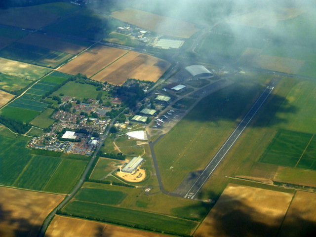
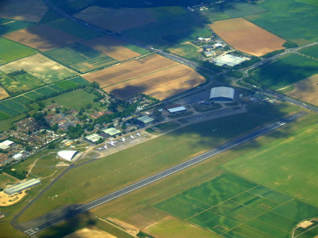
Duxford Aerodrome
Duxford Aerodrome (ICAO: EGSU) is located 8 nautical miles (15 km; 9.2 mi) south of Cambridge, within the civil parish of Duxford, Cambridgeshire, England...

Imperial War Museum Duxford
Imperial War Museum Duxford is a branch of the Imperial War Museum near Duxford in Cambridgeshire, England. Britain's largest aviation museum, Duxford...
Fowlmere
Fowlmere is one of the southernmost villages in Cambridgeshire, England. The population of the civil parish at the 2011 Census was 1,206. It is very close...

Thriplow
Thriplow () is a village in the civil parish of Thriplow and Heathfield, in Cambridgeshire, England, 8 miles (13 km) south of Cambridge. The village also...

South Cambridgeshire Rural District
South Cambridgeshire was a rural district in Cambridgeshire, England established in 1934 under a County Review Order as a merger of Linton Rural District...

Melbourn Rural District
Melbourn Rural District was a rural district in Cambridgeshire, England, from 1894 to 1934. == Formation == The district had its origins in the Royston...

Thriplow Meadows
Thriplow Meadows is a 3.5-hectare (8.6-acre) biological Site of Special Scientific Interest in Thriplow in Cambridgeshire.The site has two fields with...

St John's Church, Duxford
St John's Church is a redundant Anglican church in the village of Duxford, Cambridgeshire, England. In 1967 it was recorded in the National Heritage List...
Nearby Amenities
Located within 500m of 52.074874,0.11566178Have you been to Forty Acre Plantation?
Leave your review of Forty Acre Plantation below (or comments, questions and feedback).