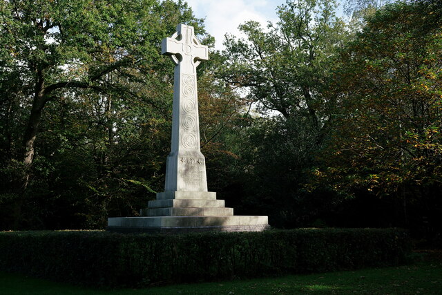
Willett Memorial Wood
Wood, Forest in Kent
England
Willett Memorial Wood

Willett Memorial Wood is a beautiful and serene forest located in Kent, England. Covering an area of approximately 30 hectares, the wood is a popular destination for nature lovers and outdoor enthusiasts. The forest is home to a diverse range of flora and fauna, including oak, beech, and chestnut trees, as well as various species of birds and small mammals.
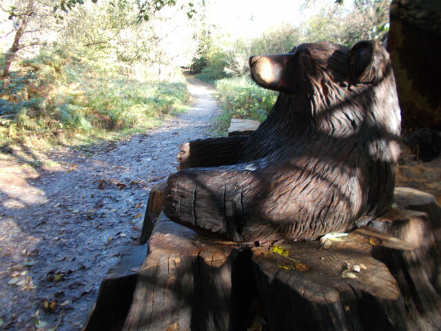
Visitors to Willett Memorial Wood can enjoy a peaceful walk along the well-maintained trails that wind through the forest, offering stunning views of the surrounding countryside. There are also picnic areas and benches scattered throughout the wood, providing the perfect spot to relax and take in the natural beauty of the area.
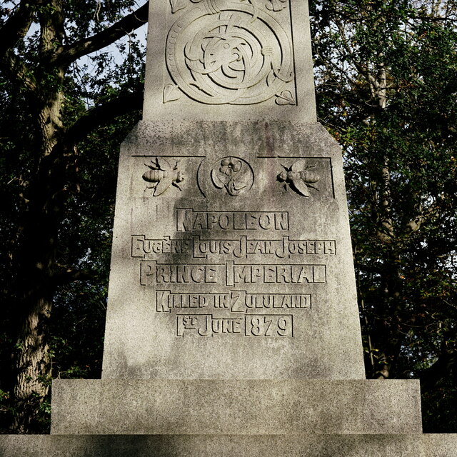
In addition to its recreational opportunities, Willett Memorial Wood also holds historical significance. The wood is named in memory of a local family who once owned the land, and there are remnants of old buildings and structures that provide insight into the area's past.
Overall, Willett Memorial Wood is a tranquil and picturesque destination that offers a peaceful retreat from the hustle and bustle of everyday life.
If you have any feedback on the listing, please let us know in the comments section below.
Willett Memorial Wood Images
Images are sourced within 2km of 51.399262/0.08325776 or Grid Reference TQ4568. Thanks to Geograph Open Source API. All images are credited.


Willett Memorial Wood is located at Grid Ref: TQ4568 (Lat: 51.399262, Lng: 0.08325776)
Unitary Authority: Bromley
Police Authority: Metropolitan
What 3 Words
///grit.verbs.lace. Near Chislehurst, London
Nearby Locations
Related Wikis

Bromley Rural District
Bromley was a rural district in north-west Kent, England from 1894 to 1934. Its area now forms part of the London Borough of Bromley in Greater London...
Coopers School
Coopers School is a mixed secondary school with academy status in Chislehurst in the London Borough of Bromley, England. The current Head of School is...
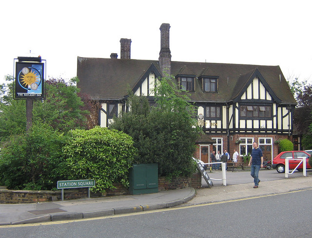
The Daylight Inn
The Daylight Inn is a Grade II listed public house at Station Square, Petts Wood, Orpington, in the London Borough of Bromley. It was built in 1935 for...
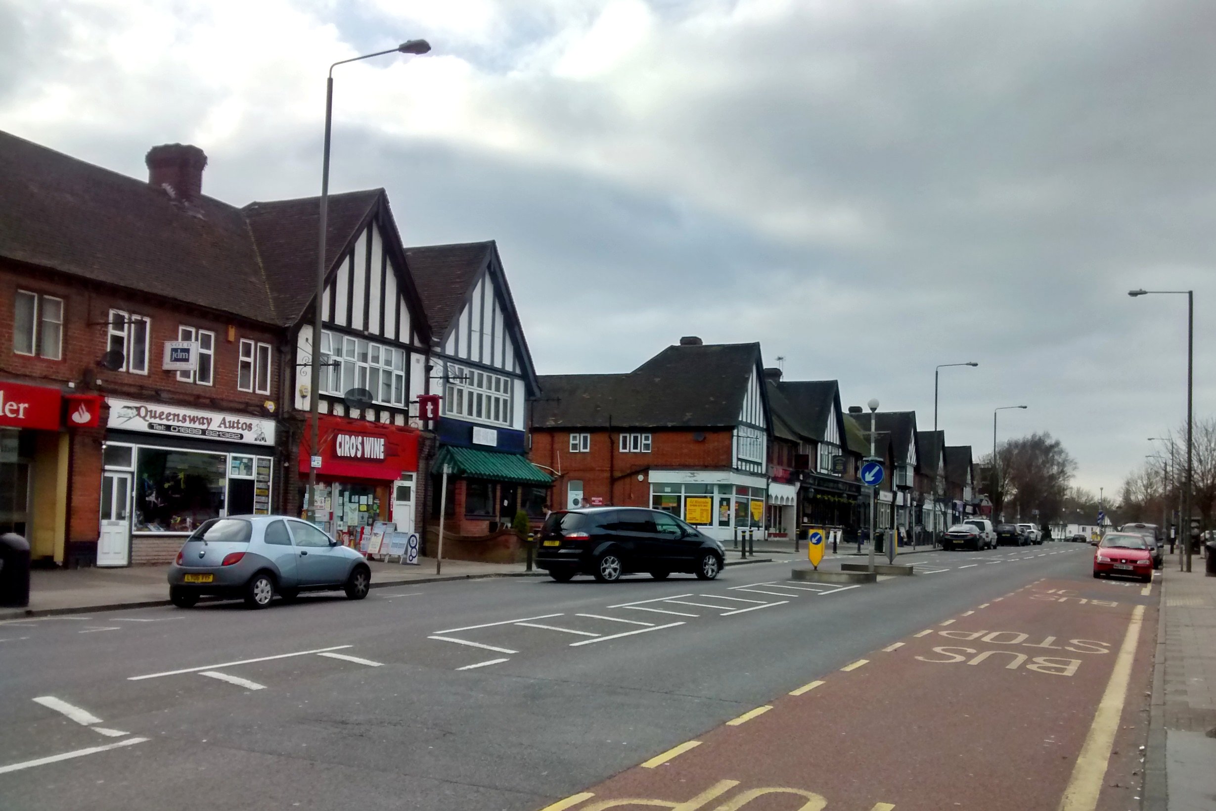
Petts Wood
Petts Wood is a town in south-east London, England, previously located in the historic county of Kent. It lies south of Chislehurst, west of St Paul's...
Nearby Amenities
Located within 500m of 51.399262,0.08325776Have you been to Willett Memorial Wood?
Leave your review of Willett Memorial Wood below (or comments, questions and feedback).