Ashdown Forest
Wood, Forest in Sussex Wealden
England
Ashdown Forest
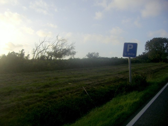
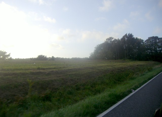
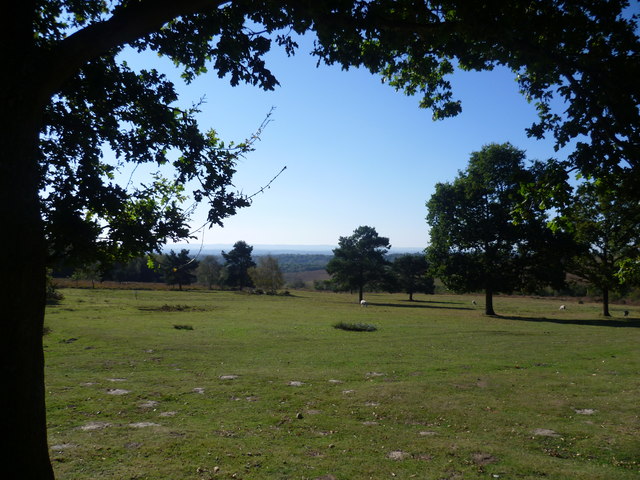
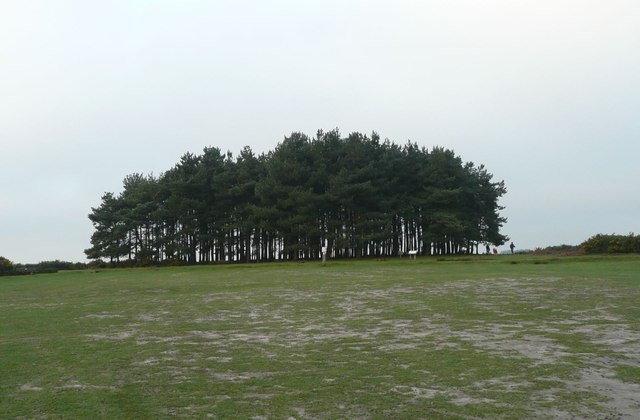
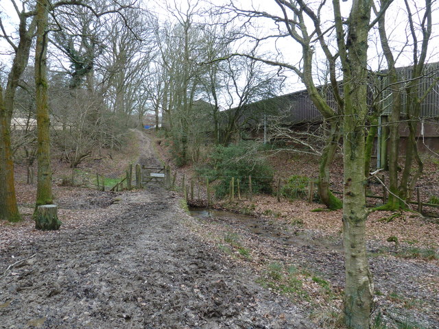
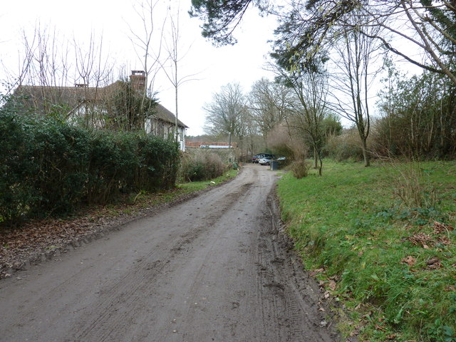
Ashdown Forest, located in the county of Sussex in southern England, is a picturesque expanse of woodland and heathland covering an area of about 6,400 acres. It is known for its stunning natural beauty and is a popular destination for nature enthusiasts and outdoor adventurers.
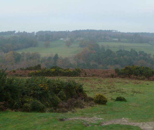
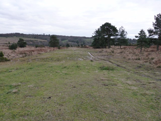
The forest is characterized by its expansive network of walking trails, which offer visitors the opportunity to explore its diverse landscape. From dense woodlands of oak and birch trees to open heathlands with rolling hills, Ashdown Forest boasts a rich variety of habitats, making it home to a wide array of flora and fauna. Visitors can expect to encounter a range of wildlife, including deer, rabbits, foxes, and numerous bird species.
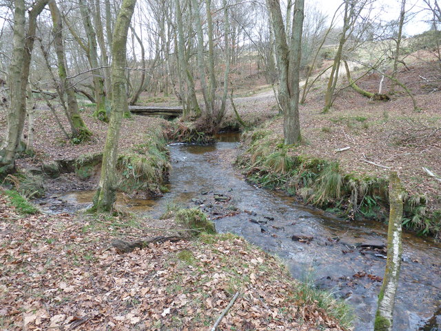
One of the forest's most iconic features is its network of streams and ponds, which not only add to its scenic charm but also provide a vital water source for the local wildlife. The forest is also home to several ancient landmarks, such as prehistoric burial mounds and Iron Age hillforts, which are a testament to its long and fascinating history.
Ashdown Forest holds a special place in literary history as well, as it served as the inspiration for the beloved children's book character, Winnie-the-Pooh. The author, A.A. Milne, frequently visited the forest with his son, Christopher Robin, and the characters in his books are said to be based on toys owned by Christopher.
Overall, Ashdown Forest offers a tranquil escape from the hustle and bustle of everyday life, providing visitors with a chance to immerse themselves in nature and soak up the beauty of this unique woodland haven.
If you have any feedback on the listing, please let us know in the comments section below.
Ashdown Forest Images
Images are sourced within 2km of 51.052064/0.067009817 or Grid Reference TQ4430. Thanks to Geograph Open Source API. All images are credited.


Ashdown Forest is located at Grid Ref: TQ4430 (Lat: 51.052064, Lng: 0.067009817)
Administrative County: East Sussex
District: Wealden
Police Authority: Sussex
What 3 Words
///freezers.given.cage. Near Forest Row, East Sussex
Nearby Locations
Related Wikis
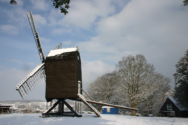
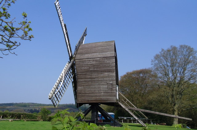
Nutley Windmill
Nutley Windmill is a grade II* listed open trestle post mill at Nutley, East Sussex, England which has been restored to working order. == History == Nutley...
Byline Festival
The Byline Festival is a festival whose aim is to promote independent journalism and free speech. The festival was founded by Stephen Colegrave and Peter...

Old Lodge
Old Lodge is a 103.1-hectare (255-acre) Local Nature Reserve west of Crowborough in East Sussex. It is privately owned. It is managed by Sussex Wildlife...
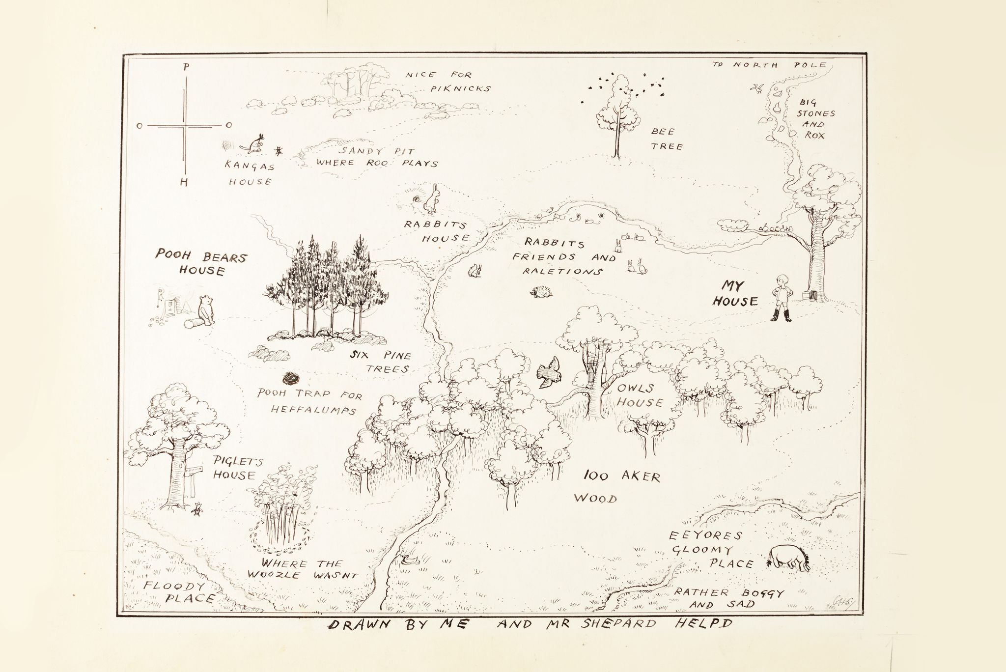
Hundred Acre Wood
The Hundred Acre Wood (also spelled as 100 Aker Wood, Hundred-Acre Wood, and 100 Acre Wood; also known as simply "The Wood") is a part of the fictional...

Nutley, East Sussex
Nutley is a village in the Wealden District of East Sussex, England. It lies about 5 mi (8.0 km) north-west of Uckfield, the main road being the A22. Nutley...
Duddleswell
Duddleswell is a village in the Wealden district, East Sussex in England, United Kingdom.

Aspidistra (transmitter)
Aspidistra was a British medium wave radio transmitter used for black propaganda and military deception purposes against Nazi Germany during World War...

Landscape of Ashdown Forest
Ashdown Forest, a former royal hunting forest situated some 30 miles south-east of London, is a large area of lowland heathland whose ecological importance...
Nearby Amenities
Located within 500m of 51.052064,0.067009817Have you been to Ashdown Forest?
Leave your review of Ashdown Forest below (or comments, questions and feedback).