Courtland Wood
Wood, Forest in Sussex Wealden
England
Courtland Wood
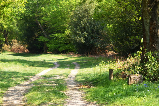
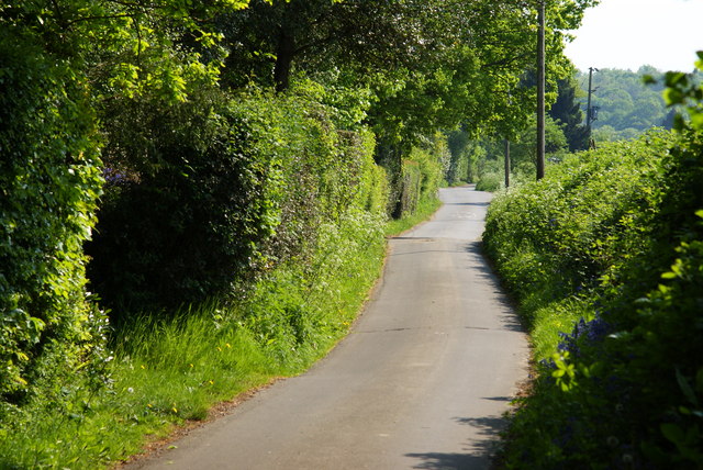
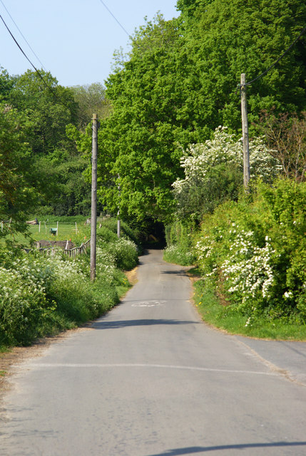
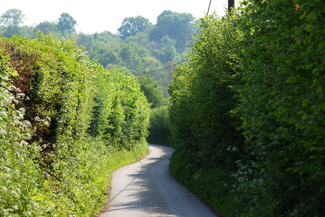
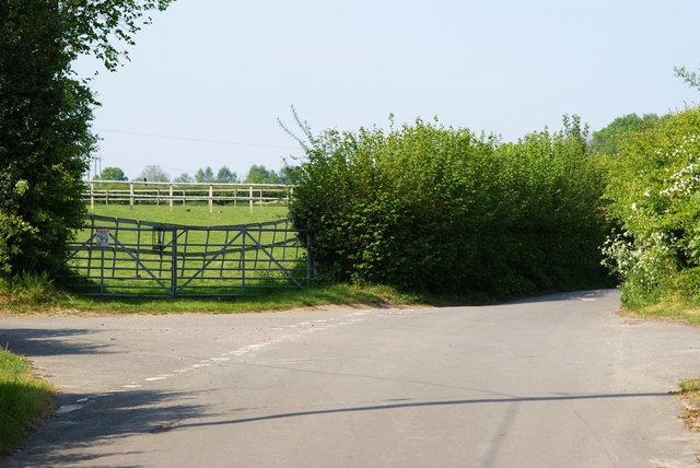
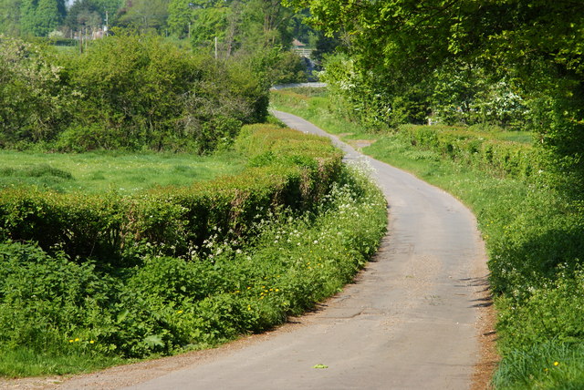
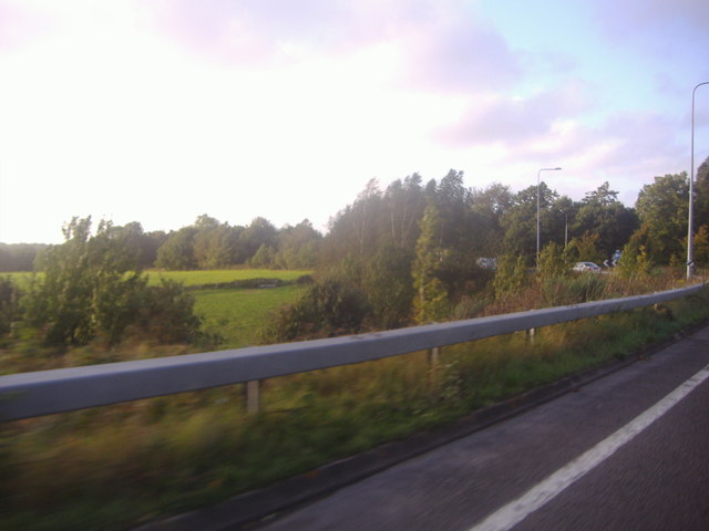
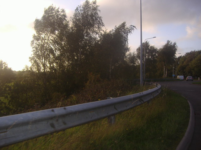
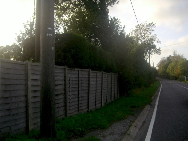
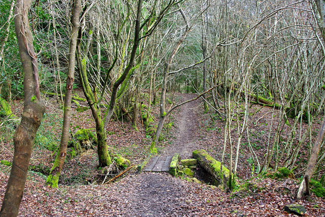
Courtland Wood is a charming forest located in Sussex, England. Covering an area of approximately 100 acres, it is nestled amidst the picturesque countryside, offering a serene and tranquil escape from the bustle of city life. The wood is part of the larger South Downs National Park, renowned for its outstanding natural beauty.
The woodland is predominantly composed of broadleaf trees, including oak, beech, and ash, creating a diverse and lush canopy. The forest floor is adorned with a carpet of bluebells during spring, adding a vibrant and enchanting touch to the surroundings. As a designated Site of Special Scientific Interest (SSSI), Courtland Wood is home to a variety of wildlife, including deer, badgers, and numerous bird species, making it a popular destination for nature enthusiasts and birdwatchers.
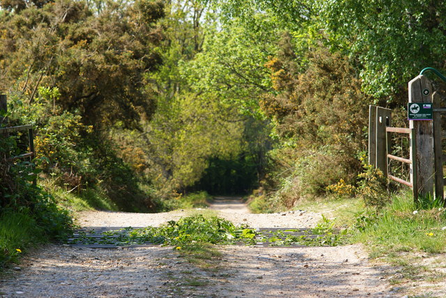
Courtland Wood offers a myriad of recreational activities and trails for visitors to explore. There are well-maintained paths that wind through the forest, allowing for leisurely strolls or invigorating hikes. The wood is also a popular spot for picnics, with designated areas scattered throughout the grounds. Additionally, there are educational signposts and information boards providing insights into the local flora and fauna, making it an ideal destination for educational visits and school trips.
Overall, Courtland Wood in Sussex is a captivating destination that offers a blend of natural beauty, wildlife, and recreational opportunities. Its idyllic setting and diverse ecosystem make it an ideal retreat for nature lovers and a valuable asset to the local community.
If you have any feedback on the listing, please let us know in the comments section below.
Courtland Wood Images
Images are sourced within 2km of 51.014818/0.064184023 or Grid Reference TQ4425. Thanks to Geograph Open Source API. All images are credited.


Courtland Wood is located at Grid Ref: TQ4425 (Lat: 51.014818, Lng: 0.064184023)
Administrative County: East Sussex
District: Wealden
Police Authority: Sussex
What 3 Words
///eyeful.throat.matter. Near Uckfield, East Sussex
Nearby Locations
Related Wikis

Nutley, East Sussex
Nutley is a village in the Wealden District of East Sussex, England. It lies about 5 mi (8.0 km) north-west of Uckfield, the main road being the A22. Nutley...
Rock Wood
Rock Wood is a 10.4-hectare (26-acre) biological Site of Special Scientific Interest north of Uckfield in East Sussex.This ancient wood has several different...

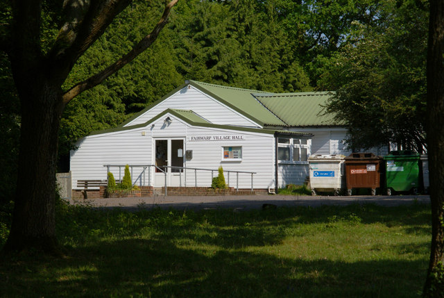
Fairwarp
Fairwarp is a small village within the civil parish of Maresfield in the Wealden district of East Sussex, England. Its nearest town is Uckfield, which...

Brickfield Meadow
Brickfield Meadow is a 1.4-hectare (3.5-acre) nature reserve north of Maresfield in East Sussex. It is managed by the Sussex Wildlife Trust.This wildflower...

Maresfield
Maresfield is a village and civil parish in the Wealden District of East Sussex, England. The village itself lies 1.5 miles (2.4 km) north from Uckfield...

Buxted Park
Buxted Park is an 84.7 hectare (206.16 acre) biological Site of Special Scientific Interest, located near the village of Buxted, East Sussex, England....

A.F.C. Uckfield Town
A.F.C. Uckfield Town is a community football club based in Uckfield, East Sussex, England. They are currently members of the Southern Combination Premier...
A.F.C. Uckfield
Association Football Club Uckfield was a football club based in Uckfield, East Sussex, England. == History == The club was formed in 1988 as Wealden Football...
Nearby Amenities
Located within 500m of 51.014818,0.064184023Have you been to Courtland Wood?
Leave your review of Courtland Wood below (or comments, questions and feedback).