Hall Plantation
Wood, Forest in Cambridgeshire Fenland
England
Hall Plantation
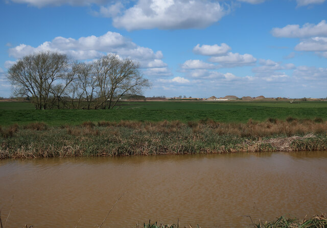
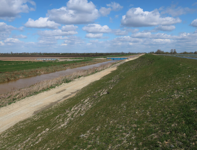
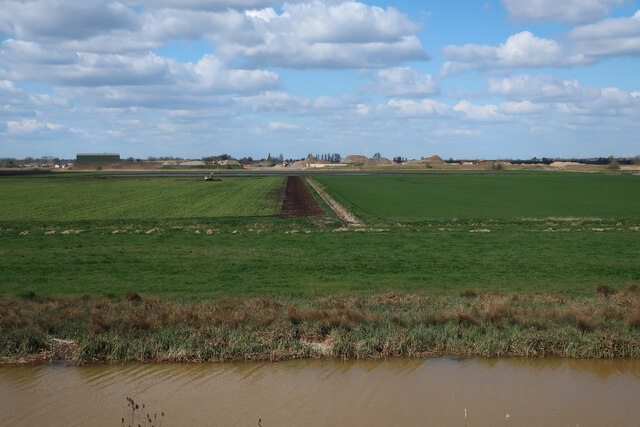
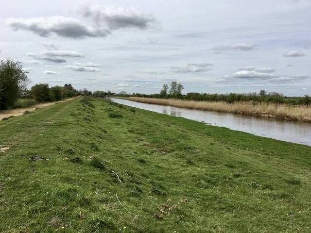
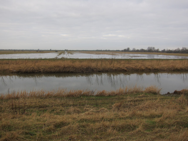
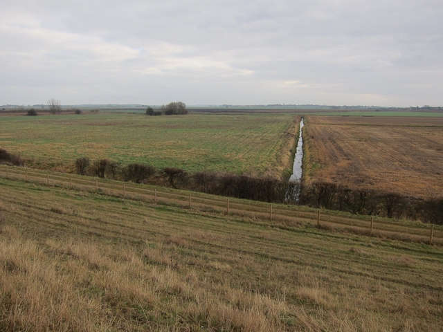
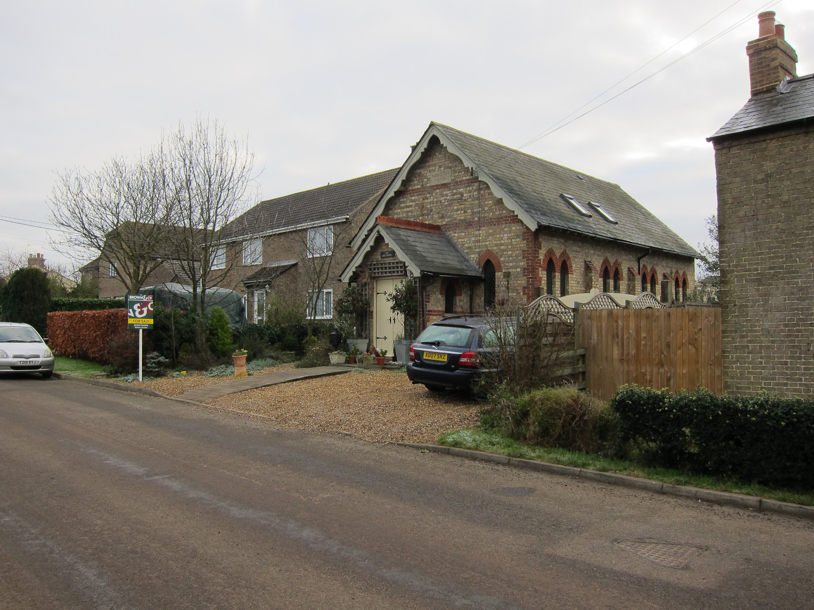
Hall Plantation is a picturesque woodland located in the county of Cambridgeshire, England. Covering an area of approximately 100 acres, it is known for its tranquility and natural beauty. The plantation is situated near the village of Hall, making it easily accessible to visitors.
The woodland is predominantly composed of various species of trees, creating a dense forest-like environment. Oak, beech, and birch trees dominate the landscape, providing a diverse habitat for wildlife. The plantation is particularly renowned for its ancient oak trees, some of which are believed to be over 500 years old.
A network of well-maintained footpaths winds through the woodland, allowing visitors to explore its many charms. The paths meander through the trees, revealing breathtaking views and offering opportunities for peaceful walks and nature trails. The plantation is also popular among birdwatchers, as it provides a habitat for a variety of bird species, including woodpeckers, owls, and various songbirds.
In addition to its natural beauty, Hall Plantation has historical significance. It is said to have been part of an ancient hunting ground, dating back to medieval times. Remnants of old hunting lodges and other structures can still be found within the woodland, adding an element of intrigue to the area.
Overall, Hall Plantation offers a peaceful retreat for nature lovers and those seeking a break from the bustling city life. Its combination of dense woodland, historic remnants, and diverse wildlife make it a unique and enchanting destination in Cambridgeshire.
If you have any feedback on the listing, please let us know in the comments section below.
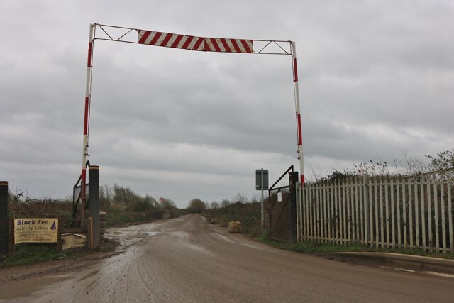
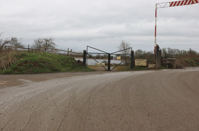
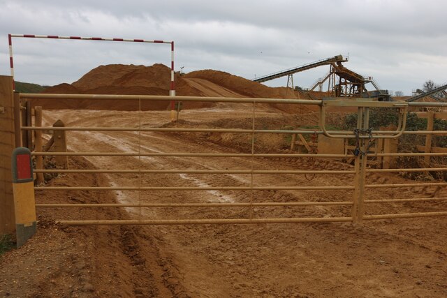
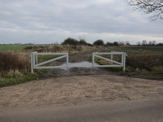
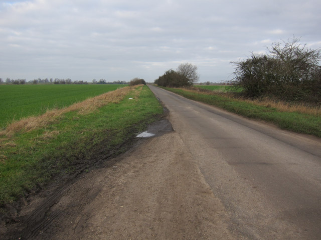
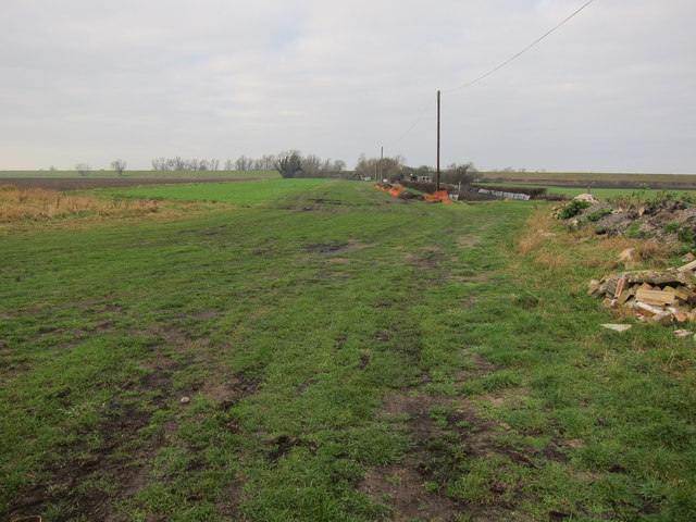
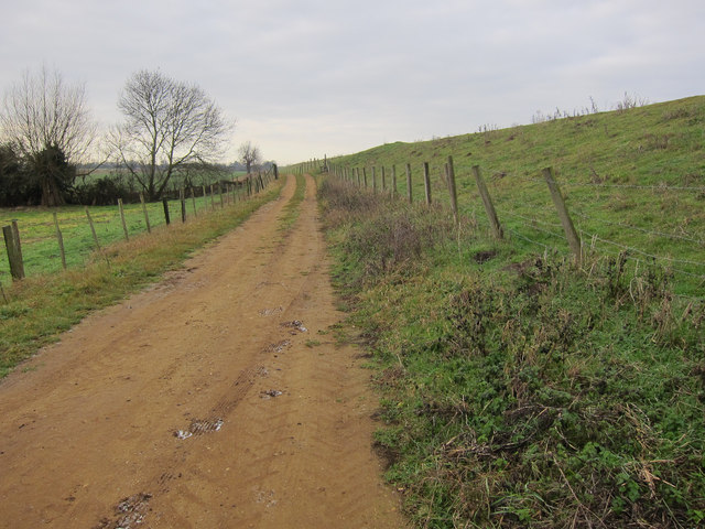
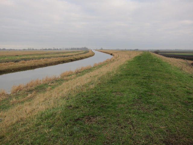
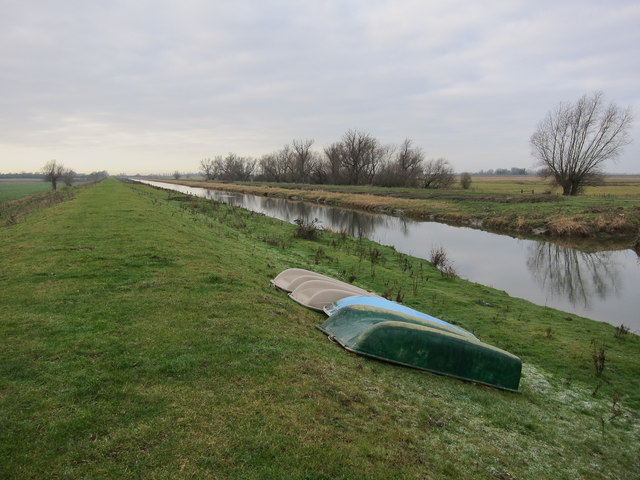
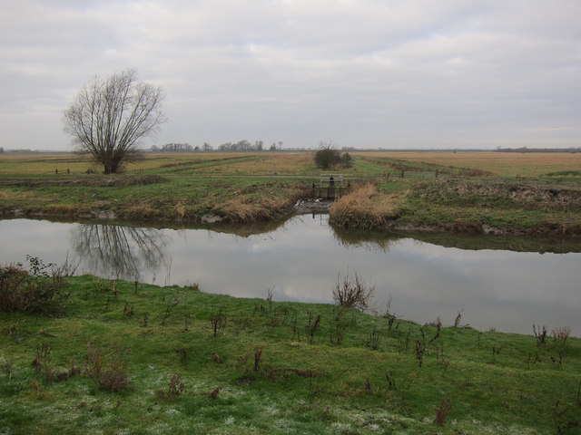
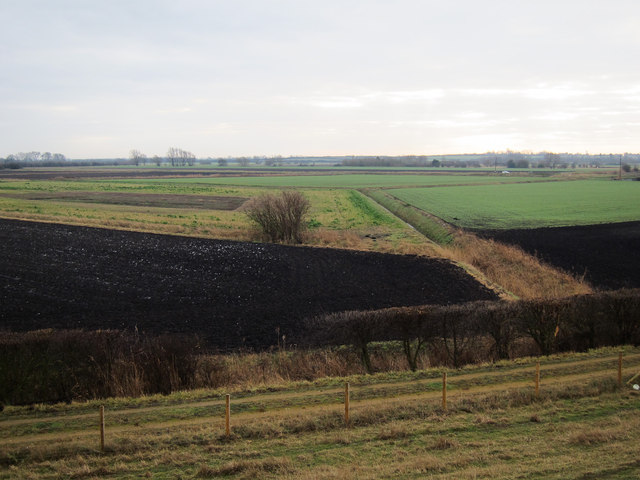
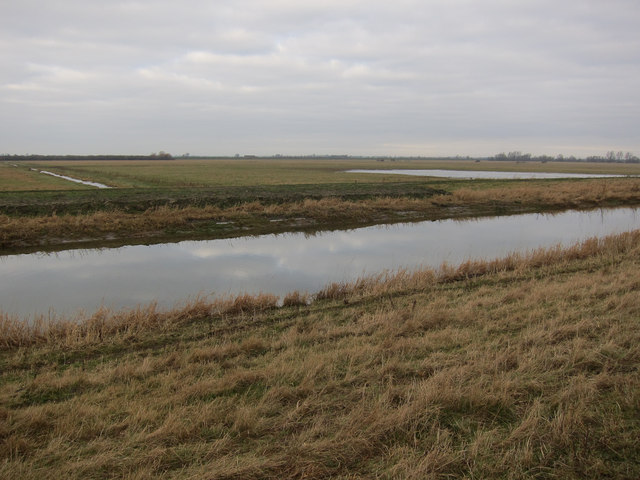
Hall Plantation Images
Images are sourced within 2km of 52.425764/0.12763029 or Grid Reference TL4482. Thanks to Geograph Open Source API. All images are credited.
Hall Plantation is located at Grid Ref: TL4482 (Lat: 52.425764, Lng: 0.12763029)
Division: Isle of Ely
Administrative County: Cambridgeshire
District: Fenland
Police Authority: Cambridgeshire
What 3 Words
///stammer.overt.unions. Near Sutton, Cambridgeshire
Nearby Locations
Related Wikis

Mepal
Mepal is a village in Cambridgeshire, England. Mepal is part of the East Cambridgeshire district, and is located just north of the A142 road between Ely...

Ely Rural District
Ely Rural District was a rural district in England from 1894 to 1974. It was named after Ely, but did not include the city itself, instead covering the...
Wardy Hill
Wardy Hill is a hamlet in Coveney civil parish, part of East Cambridgeshire, England. It is also the site of a former Iron Age Hill fort == References ==

Elean power station
Elean power station is a straw-fired biomass power station in Cambridgeshire, England. At a capacity of 38 MW, it was the largest straw-fired power plant...

Witcham
Witcham is a small village near Ely in Cambridgeshire, England. The village is surrounded by fenland farms and has a village hall and a 13th-century church...

Welches Dam
Welches Dam is a hamlet and former civil parish, now in the parish of Manea, in the Fenland district, in the county of Cambridgeshire, England. It is around...

Sutton-in-the-Isle
Sutton or Sutton-in-the-Isle is a village and civil parish in the county of Cambridgeshire in England, near the city of Ely. The "in-the-Isle" suffix refers...
Sutton railway station (Cambridgeshire)
Sutton railway station was a station in Sutton, Cambridgeshire on the Ely and St Ives Railway. The first station opened in 1866 but it became the goods...
Nearby Amenities
Located within 500m of 52.425764,0.12763029Have you been to Hall Plantation?
Leave your review of Hall Plantation below (or comments, questions and feedback).