Walk Wood

Wood, Forest in Kent

England

Walk Wood

Chislehurst Outside the railway station, a promotional vehicle for a nearby restaurant.
Chislehurst Credit: Peter Trimming

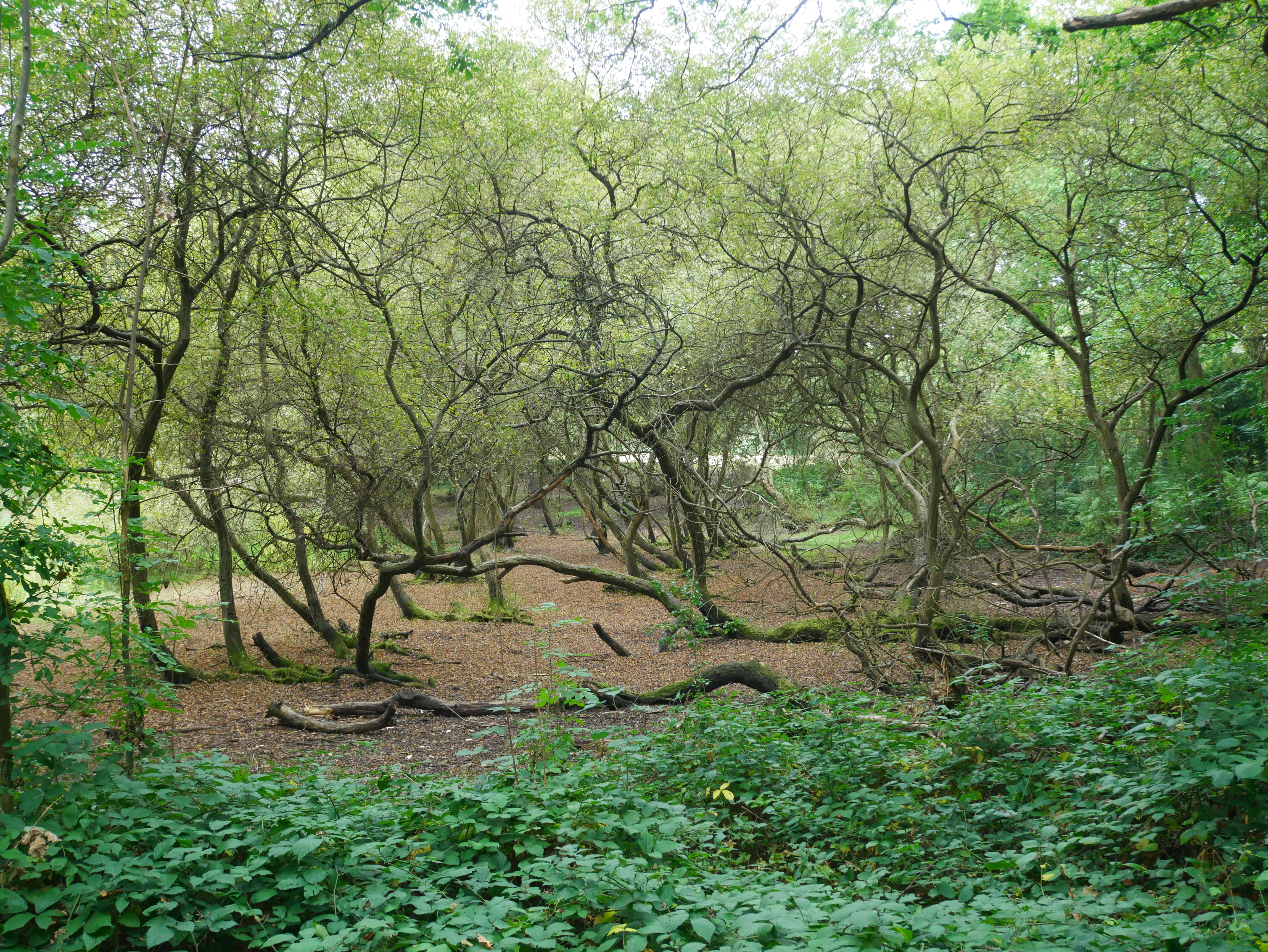
Walk Wood is a lush and enchanting forest located in Kent, England. Covering an area of approximately 100 acres, this woodland is a popular destination for nature lovers and outdoor enthusiasts alike. The forest is home to a variety of wildlife, including deer, squirrels, and a wide range of bird species.

Visitors to Walk Wood can enjoy a leisurely stroll along the well-maintained trails that wind through the trees, providing ample opportunities to observe the flora and fauna that call this forest home. The dense canopy of trees provides shade on hot days, making it a pleasant place to escape the summer heat.

In addition to its natural beauty, Walk Wood also has a rich history. The forest has been used for centuries as a source of timber and fuel, and remnants of old logging operations can still be seen scattered throughout the woodland.

Overall, Walk Wood is a peaceful and picturesque retreat where visitors can immerse themselves in the beauty of nature and enjoy a tranquil escape from the hustle and bustle of everyday life.

If you have any feedback on the listing, please let us know in the comments section below.
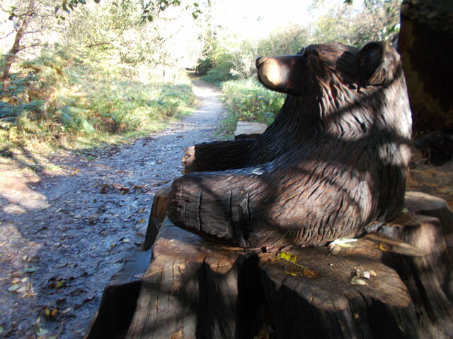
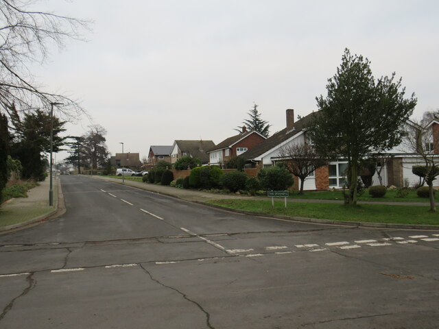
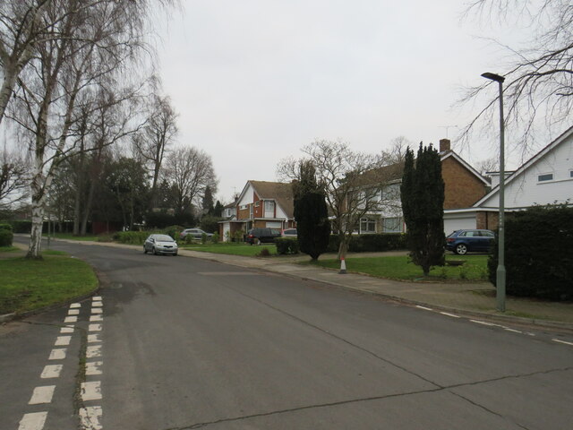
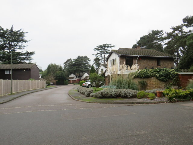
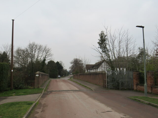
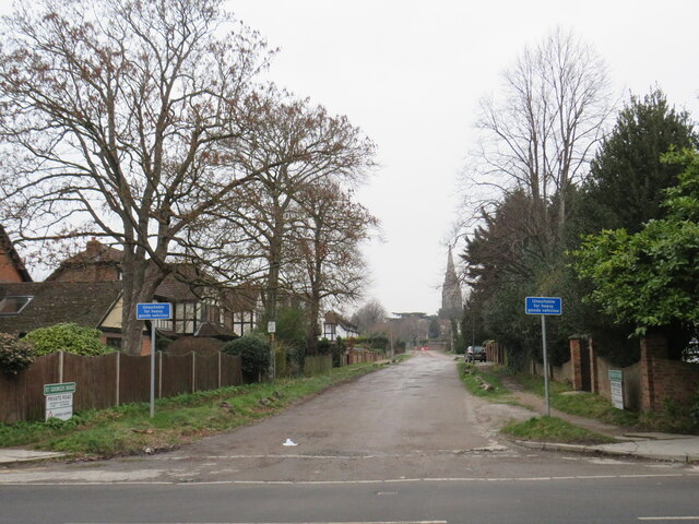
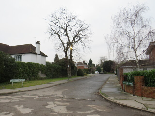
Walk Wood Images

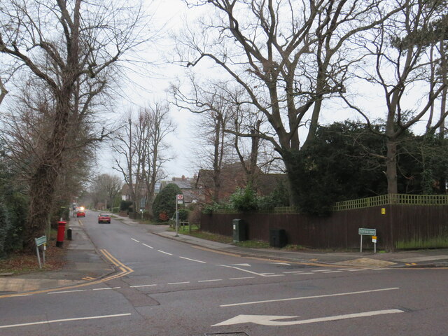
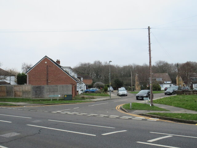
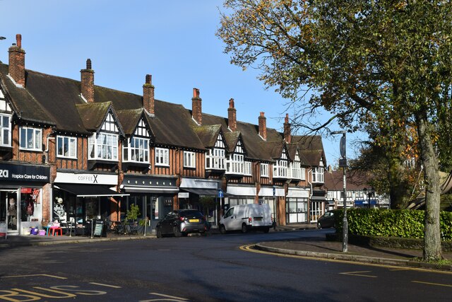
Images are sourced within 2km of 51.401207/0.075021743 or Grid Reference TQ4468. Thanks to Geograph Open Source API. All images are credited.

Chislehurst Outside the railway station, a promotional vehicle for a nearby restaurant.
Chislehurst
Outside the railway station, a promotional vehicle for a nearby restaurant.
The Ramblers Rest Located beside the A222, on Summer Hill, Chislehurst.
The Ramblers Rest
Located beside the A222, on Summer Hill, Chislehurst.
The Ramblers Rest Located beside the A222, on Summer Hill, Chislehurst.
The Ramblers Rest
Located beside the A222, on Summer Hill, Chislehurst.
The Prince Imperial Monument Napoléon, Prince Imperial (Napoléon Eugène Louis Jean Joseph Bonaparte; 16 March 1856 – 1 June 1879). After his father was dethroned in 1870, he moved with his family to England. On his father's death in January 1873, he was proclaimed by the Bonapartist faction as Napoleon IV. 

In England, he trained as a soldier. Keen to see action, he persuaded the British to allow him to participate in the Anglo-Zulu War. In 1879, serving with British forces, he was killed in a skirmish with a group of Zulus.
The Prince Imperial Monument
Napoléon, Prince Imperial (Napoléon Eugène Louis Jean Joseph Bonaparte; 16 March 1856 – 1 June 1879). After his father was dethroned in 1870, he moved with his family to England. On his father's death in January 1873, he was proclaimed by the Bonapartist faction as Napoleon IV. In England, he trained as a soldier. Keen to see action, he persuaded the British to allow him to participate in the Anglo-Zulu War. In 1879, serving with British forces, he was killed in a skirmish with a group of Zulus.
The Prince Imperial Monument Napoléon, Prince Imperial (Napoléon Eugène Louis Jean Joseph Bonaparte; 16 March 1856 – 1 June 1879). After his father was dethroned in 1870, he moved with his family to England. On his father's death in January 1873, he was proclaimed by the Bonapartist faction as Napoleon IV.

In England, he trained as a soldier. Keen to see action, he persuaded the British to allow him to participate in the Anglo-Zulu War. In 1879, serving with British forces, he was killed in a skirmish with a group of Zulus.
The Prince Imperial Monument
Napoléon, Prince Imperial (Napoléon Eugène Louis Jean Joseph Bonaparte; 16 March 1856 – 1 June 1879). After his father was dethroned in 1870, he moved with his family to England. On his father's death in January 1873, he was proclaimed by the Bonapartist faction as Napoleon IV. In England, he trained as a soldier. Keen to see action, he persuaded the British to allow him to participate in the Anglo-Zulu War. In 1879, serving with British forces, he was killed in a skirmish with a group of Zulus.
Bear hug sculpture seat, Scadbury Park
The Spinneys, Bickley The Spinneys is a residential road in Bickley, in the outer suburbs of south east London.

This image was taken on a dull and gloomy January afternoon.  Most of the trees visible in this image are evergreens, which were still in leaf through the winter.
The Spinneys, Bickley
The Spinneys is a residential road in Bickley, in the outer suburbs of south east London. This image was taken on a dull and gloomy January afternoon. Most of the trees visible in this image are evergreens, which were still in leaf through the winter.
St. George's Road West, Bickley St. George's Road West is a residential road in Bickley, in the outer suburbs of south east London.

This image was taken on a dull and gloomy January afternoon.  Deciduous trees were bare for the winter season, but evergreens had kept their leaves.
St. George's Road West, Bickley
St. George's Road West is a residential road in Bickley, in the outer suburbs of south east London. This image was taken on a dull and gloomy January afternoon. Deciduous trees were bare for the winter season, but evergreens had kept their leaves.
Inglewood Copse, Bickley Inglewood Copse is a short residential cul-de-sac in Bickley, in the outer suburbs of south east London.

This image was taken on a dull and gloomy January afternoon.
Inglewood Copse, Bickley
Inglewood Copse is a short residential cul-de-sac in Bickley, in the outer suburbs of south east London. This image was taken on a dull and gloomy January afternoon.
St. George's Road, Bickley St. George's Road is a minor road in Bickley, in the outer suburbs of south east London.  Here the road crosses the main railway line from London (Victoria) and Bromley to the Medway Towns, Canterbury and Dover.

This image was taken on a dull and gloomy January afternoon.  Deciduous trees were bare for the winter season, but evergreens had kept their leaves.
St. George's Road, Bickley
St. George's Road is a minor road in Bickley, in the outer suburbs of south east London. Here the road crosses the main railway line from London (Victoria) and Bromley to the Medway Towns, Canterbury and Dover. This image was taken on a dull and gloomy January afternoon. Deciduous trees were bare for the winter season, but evergreens had kept their leaves.
St. George's Road, Bickley St. George's Road is a private road in Bickley, in the outer suburbs of south east London.

This image was taken on a dull and gloomy January afternoon.  Deciduous trees were bare for the winter season, but evergreens had kept their leaves.
St. George's Road, Bickley
St. George's Road is a private road in Bickley, in the outer suburbs of south east London. This image was taken on a dull and gloomy January afternoon. Deciduous trees were bare for the winter season, but evergreens had kept their leaves.
Southwark Place, Bickley Southwark Place is a residential cul-de-sac in Bickley, in the outer suburbs of south east London.

This image was taken on a dull and gloomy January afternoon.  Deciduous trees were bare for the winter season, but evergreens had kept their leaves.
Southwark Place, Bickley
Southwark Place is a residential cul-de-sac in Bickley, in the outer suburbs of south east London. This image was taken on a dull and gloomy January afternoon. Deciduous trees were bare for the winter season, but evergreens had kept their leaves.
Oldfield Road, Bickley Oldfield Road is a residential road in Bickley, in the outer suburbs of south east London.

This image was taken on a dull and gloomy January afternoon.  Deciduous trees were bare for the winter season, but evergreens had kept their leaves.
Oldfield Road, Bickley
Oldfield Road is a residential road in Bickley, in the outer suburbs of south east London. This image was taken on a dull and gloomy January afternoon. Deciduous trees were bare for the winter season, but evergreens had kept their leaves.
Fontwell Drive, Southborough, near Bromley Fontwell Drive is a residential cul-de-sac in Southborough, in the outer suburbs of south east London.

This image was taken on a dull and gloomy January afternoon.
Fontwell Drive, Southborough, near Bromley
Fontwell Drive is a residential cul-de-sac in Southborough, in the outer suburbs of south east London. This image was taken on a dull and gloomy January afternoon.
Grassy slope above Hoblingwell Wood
Leesons Hill
Leesons Hill
Poverest Road
Poverest Road
Station Square, Petts Wood
Show me another place!

Walk Wood is located at Grid Ref: TQ4468 (Lat: 51.401207, Lng: 0.075021743)

Unitary Authority: Bromley

Police Authority: Metropolitan

What 3 Words

///slams.trade.maybe. Near Chislehurst, London

Related Wikis

Coopers School

Coopers School is a mixed secondary school with academy status in Chislehurst in the London Borough of Bromley, England. The current Head of School is...

Chislehurst Junction

Chislehurst Junction is an important railway junction near Chislehurst in the London Borough of Bromley, England. It is the point where the South Eastern...

Chislehurst Common

Chislehurst Common is an open space in Chislehurst in the London Borough of Bromley in south-east London. It is jointly managed with St Paul's Cray Common...

Chislehurst

Chislehurst () is a suburban district of south-east London, England, in the London Borough of Bromley. It lies east of Bromley, south-west of Sidcup and...

Nearby Amenities

Located within 500m of 51.401207,0.075021743
Railway: switch
Lat/Long: 51.3984488/0.0702782
Railway: switch
Lat/Long: 51.3973806/0.0726196
Railway: switch
Lat/Long: 51.3977049/0.0719317
Railway: switch
Lat/Long: 51.3980093/0.0712251
Railway: switch
Lat/Long: 51.3980661/0.0709961
Railway: switch
Lat/Long: 51.3984366/0.070201
Bench
Backrest: no
Lat/Long: 51.398579/0.0784799
St. Mary Cray Down Junctions
Railway: junction
Lat/Long: 51.3984791/0.070055
Railway: switch
Lat/Long: 51.3976324/0.0719262
Hawkwood
Place: quarter
Lat/Long: 51.4017502/0.0710161
Ref GB Tflcid: RWG195552
Traffic Calming: hump
Lat/Long: 51.4049161/0.0777824
The data included in this document is from www.openstreetmap.org. The data is made available under ODbL.

Have you been to Walk Wood?

Leave your review of Walk Wood below (or comments, questions and feedback).