Holden Wood
Wood, Forest in Sussex Wealden
England
Holden Wood

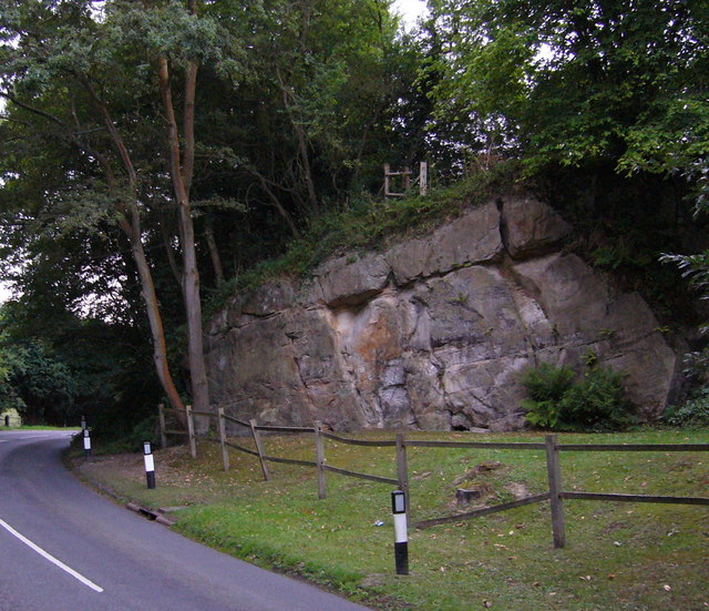
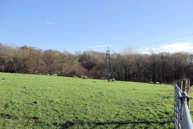
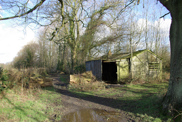
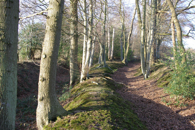
Holden Wood is a picturesque forest located in Sussex, England. Nestled in the heart of the South Downs National Park, it spans approximately 300 acres and is known for its diverse flora and fauna.
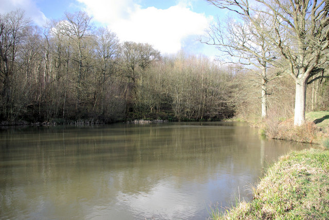
The forest is predominantly made up of native broadleaf trees, including oak, beech, and ash. These towering trees create a dense canopy, providing a habitat for a variety of wildlife species. Visitors to Holden Wood can expect to see deer, foxes, rabbits, and a plethora of bird species, including woodpeckers and owls.
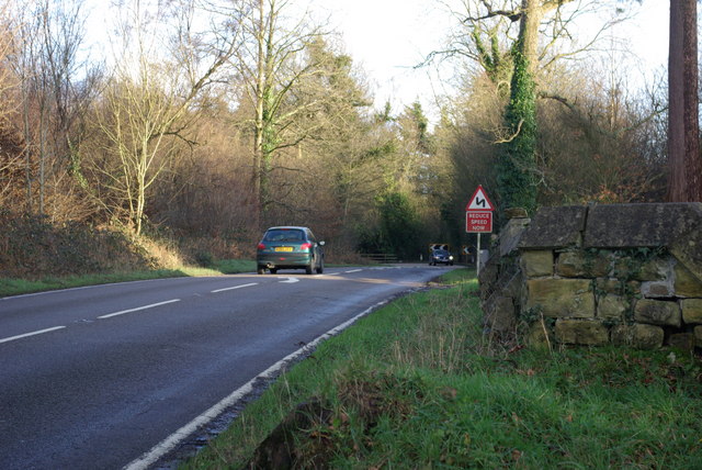
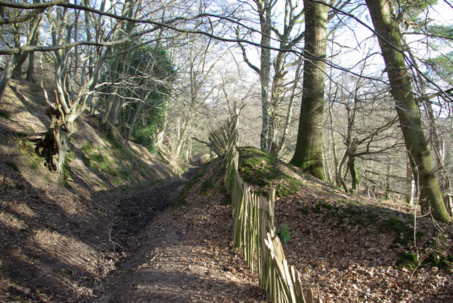
The forest is intersected by several well-maintained walking trails, allowing visitors to explore the beauty of the woodland at their own pace. These paths wind through ancient woodland areas, offering breathtaking views of wildflowers, ferns, and moss-covered rocks. The forest floor is home to an array of plant species, such as bluebells, primroses, and wild garlic, creating a vibrant and colorful landscape during the spring months.
Holden Wood also holds historical significance, with remnants of Iron Age settlements and Roman encampments scattered throughout the area. Archaeological enthusiasts will be fascinated by the ancient earthworks and barrows that can be found within the forest.
The forest is a popular destination for nature lovers, hikers, and photographers, offering a peaceful and tranquil escape from the bustling city life. Whether it's a leisurely walk, birdwatching, or simply appreciating the natural beauty, Holden Wood is a hidden gem that showcases the best of Sussex's natural environment.
If you have any feedback on the listing, please let us know in the comments section below.
Holden Wood Images
Images are sourced within 2km of 51.119112/0.060727307 or Grid Reference TQ4437. Thanks to Geograph Open Source API. All images are credited.


Holden Wood is located at Grid Ref: TQ4437 (Lat: 51.119112, Lng: 0.060727307)
Administrative County: East Sussex
District: Wealden
Police Authority: Sussex
What 3 Words
///shack.outraged.aimlessly. Near Forest Row, East Sussex
Nearby Locations
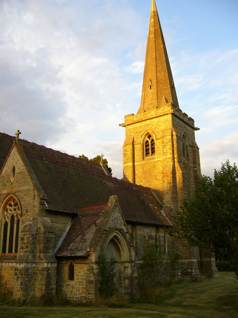
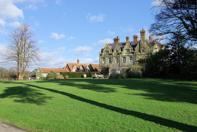
Related Wikis

Hammerwood Park
Hammerwood Park is a country house in Hammerwood, near East Grinstead, in East Sussex, England. It is a Grade I listed building. One of the first houses...

Hammerwood
Hammerwood is a hamlet in the civil parish of Forest Row in East Sussex, England. Its nearest town is East Grinstead, which lies approximately 3.5 miles...

Ashdown House, East Sussex
Ashdown House is a country house and former school near Forest Row, East Sussex, England, a Grade II* listed building. One of the first houses in England...

Stoke Brunswick School
Stoke Brunswick School was a small co-educational day and boarding independent school for children aged 3 to 13 years, situated in Ashurst Wood, West Sussex...

Emerson College (UK)
Emerson College, UK was founded in 1962 by Francis Edmunds. It is now situated on Pixton Hill, Forest Row in East Sussex, UK. It was named after Ralph...

Bassetts Manor
Bassetts Manor is a Grade II-listed building in Hartfield, East Sussex, England. == Location == The manor is located North of the village of Hartfield...

Ashurst Wood
Ashurst Wood is a village and civil parish in the Mid Sussex District of West Sussex, within the historic county of Sussex, England. It is 1 mile (2 km...
Forest Row railway station
Forest Row was a railway station on the Three Bridges to Tunbridge Wells Central Line which closed in 1967, a casualty of the Beeching Axe.The station...
Nearby Amenities
Located within 500m of 51.119112,0.060727307Have you been to Holden Wood?
Leave your review of Holden Wood below (or comments, questions and feedback).