Lordfield Shaw
Wood, Forest in Kent
England
Lordfield Shaw
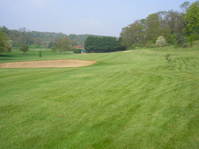
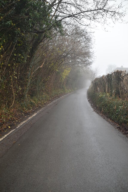
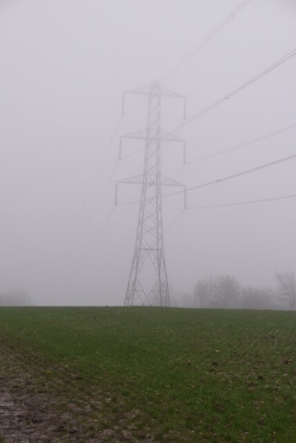
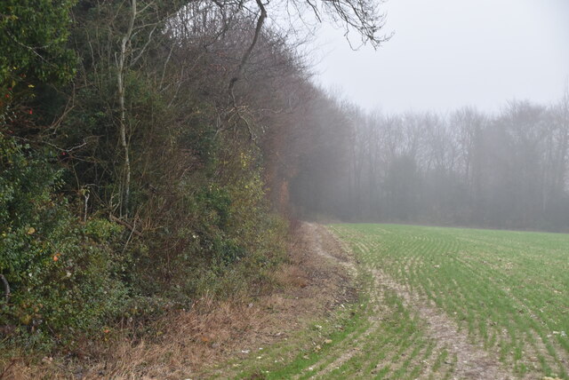
Lordfield Shaw is a picturesque woodland area located in the county of Kent, England. Situated near the village of Lordfield, the Shaw is renowned for its natural beauty and serene atmosphere. It covers an extensive area, comprising dense forests, woodlands, and meandering trails, making it a popular destination for nature enthusiasts and hikers alike.
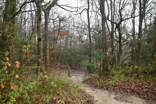
The woodland is characterized by its diverse array of trees, including oak, beech, and birch, which create a vibrant and enchanting environment throughout the year. The forest floor is adorned with a carpet of wildflowers and ferns, adding to the Shaw's overall charm. It is home to a variety of wildlife, including deer, foxes, and a multitude of bird species, making it an ideal spot for birdwatchers and animal lovers.
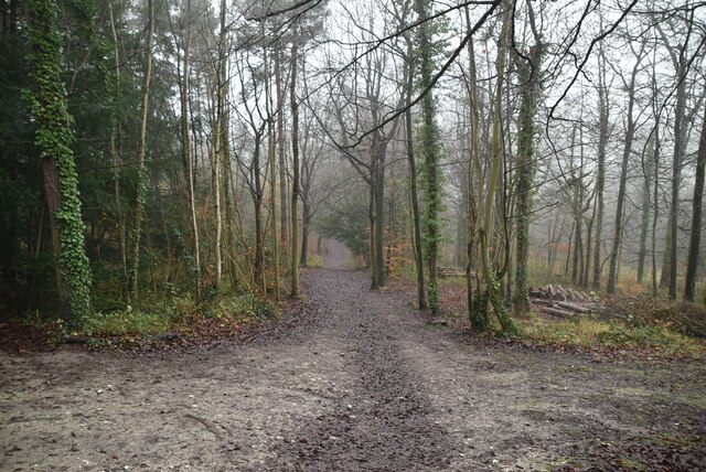
Lordfield Shaw offers a range of recreational activities for visitors to enjoy. The area boasts numerous walking and cycling trails, allowing visitors to explore the woods at their own pace, while also providing opportunities for picnics and family outings. The Shaw is also equipped with designated camping areas, providing a unique opportunity for overnight stays amidst the tranquility of the forest.
Furthermore, the woodland has a rich historical significance. It is believed to have been a hunting ground for the Lord of Lordfield during medieval times. Remnants of ancient structures, such as stone walls and pathways, can still be found within the Shaw, offering glimpses into its storied past.
Overall, Lordfield Shaw, Kent is a captivating and idyllic woodland that offers a sanctuary for nature lovers, outdoor enthusiasts, and history buffs alike. Its lush forests, diverse wildlife, and recreational activities make it a must-visit destination for anyone seeking a peaceful escape into nature's embrace.
If you have any feedback on the listing, please let us know in the comments section below.
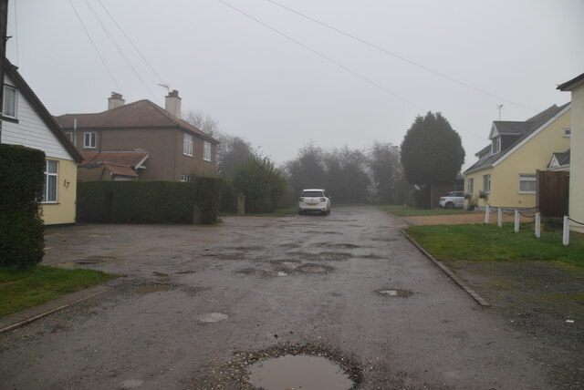
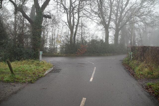
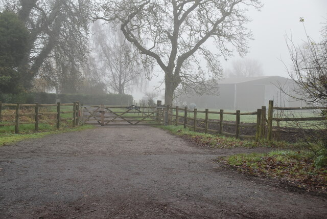
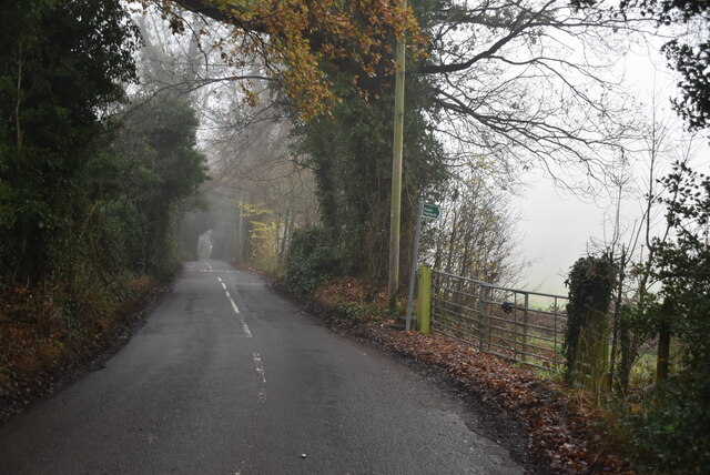
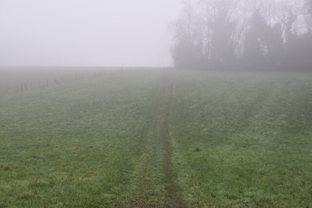
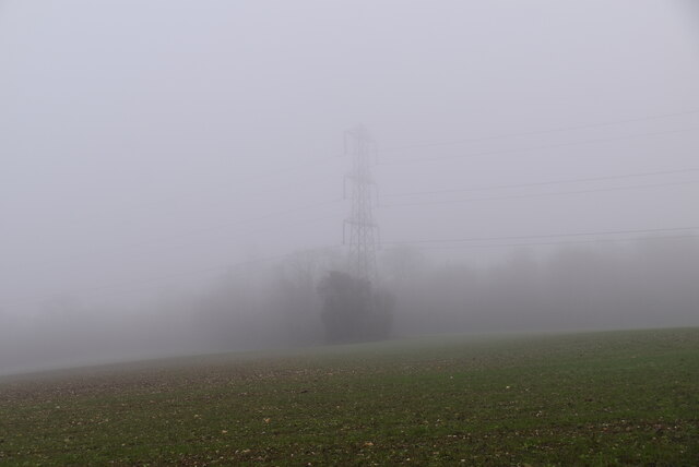
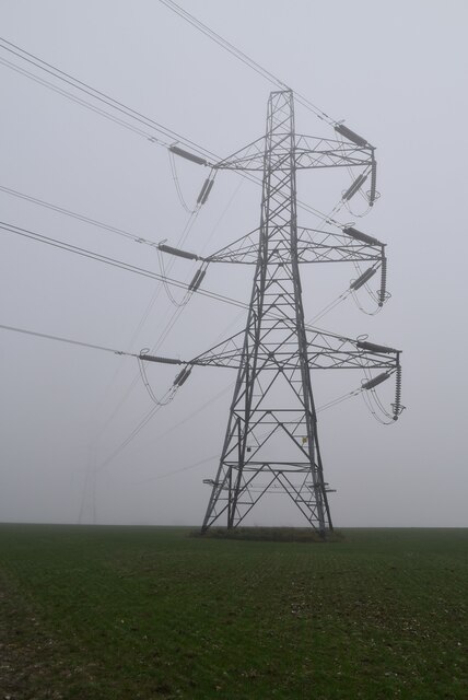
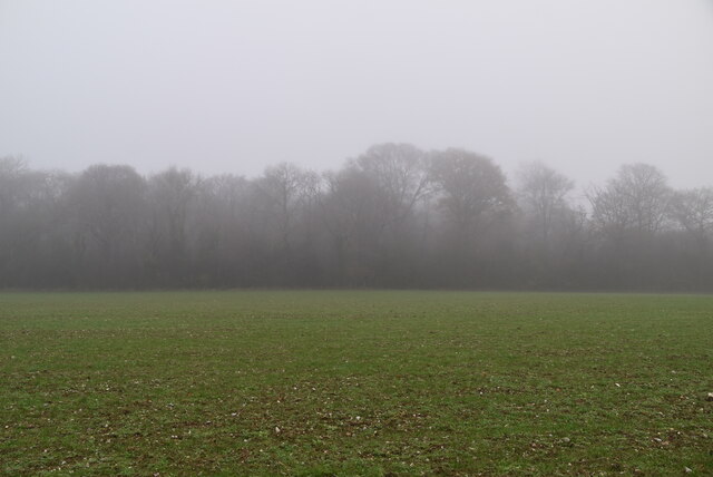
Lordfield Shaw Images
Images are sourced within 2km of 51.328467/0.068678673 or Grid Reference TQ4460. Thanks to Geograph Open Source API. All images are credited.


Lordfield Shaw is located at Grid Ref: TQ4460 (Lat: 51.328467, Lng: 0.068678673)
Unitary Authority: Bromley
Police Authority: Metropolitan
What 3 Words
///item.drew.holly. Near Biggin Hill, London
Nearby Locations
Related Wikis

Downe Bank
Downe Bank is a nature reserve owned and managed by the Kent Wildlife Trust in the North Downs, close to Downe in the London Borough of Bromley. It is...

Hazelwood, London
Hazelwood is a hamlet in Greater London, England. It is located within the London Borough of Bromley, to the east of Downe. == References ==

Luxted
Luxted is a hamlet in the London Borough of Bromley, located to the south of Downe. The area is rural, noted for its abundance of woods and grasslands...

Cudham
Cudham is a village in Greater London, England, located within the London Borough of Bromley and beyond London's urban sprawl. It is located on the Greater...
Nearby Amenities
Located within 500m of 51.328467,0.068678673Have you been to Lordfield Shaw?
Leave your review of Lordfield Shaw below (or comments, questions and feedback).