Sleights Holt
Wood, Forest in Lincolnshire East Lindsey
England
Sleights Holt
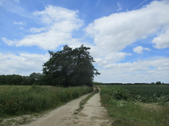
Sleights Holt is a small village located in the county of Lincolnshire, England. Nestled within a wooded area, the village is known for its picturesque surroundings and tranquil atmosphere. The name "Sleights Holt" derives from the Old English words "slete" and "holt," meaning "smooth" and "wood," respectively, which aptly describes the village's wooded landscape.
The village is situated on the outskirts of the larger town of Lincoln, providing residents with easy access to urban amenities while still enjoying a rural lifestyle. The area is primarily residential, with a handful of houses scattered throughout the village. These houses typically boast traditional English architecture, adding to the village's quaint charm.
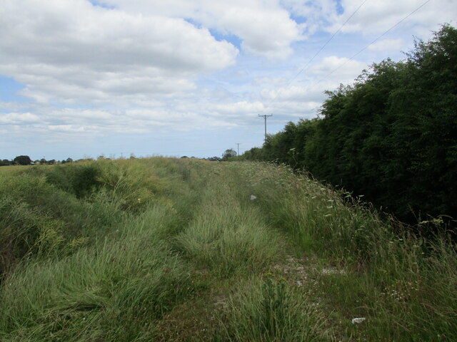
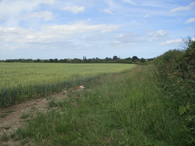
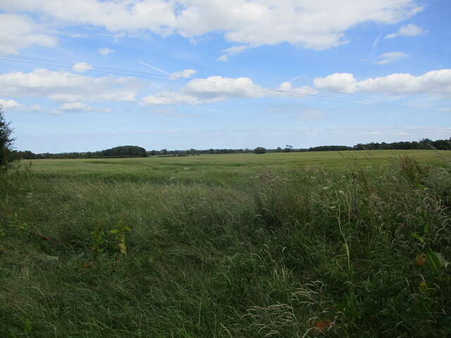
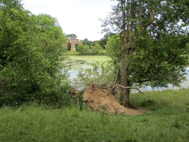
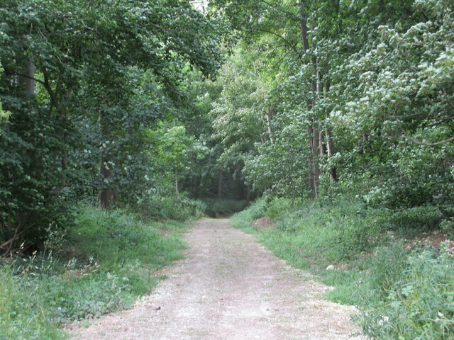
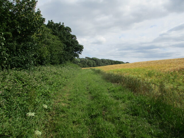
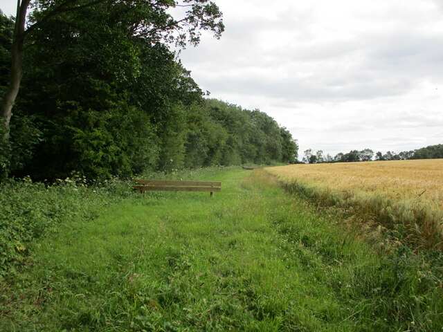
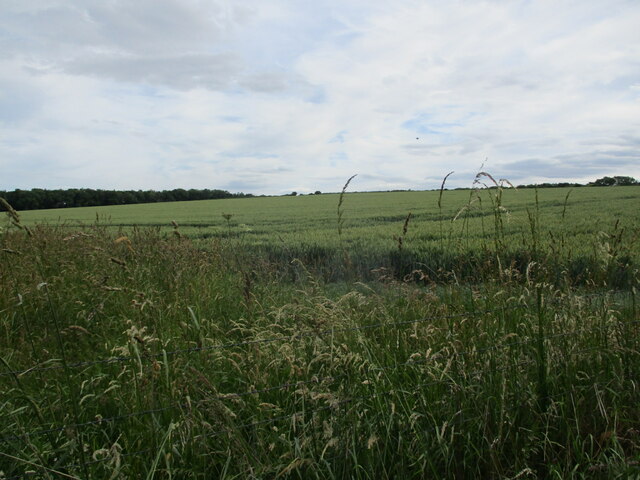
Sleights Holt is surrounded by a dense forest, which offers ample opportunities for outdoor activities such as hiking, birdwatching, and nature photography. The forest is home to a variety of wildlife, including deer, foxes, and numerous species of birds. The village also benefits from its close proximity to several nature reserves and parks, allowing residents and visitors to explore the wider natural beauty of the Lincolnshire region.
While Sleights Holt is predominantly a residential area, there are a few local amenities available to residents. These include a small village shop, a post office, and a community center. For further amenities, residents can easily access the nearby town of Lincoln, which offers a wider range of shops, restaurants, and services.
Overall, Sleights Holt is a charming village in Lincolnshire, renowned for its wooded landscape, tranquility, and access to nature. It provides a peaceful haven for those seeking a rural retreat while still enjoying the convenience of nearby urban amenities.
If you have any feedback on the listing, please let us know in the comments section below.
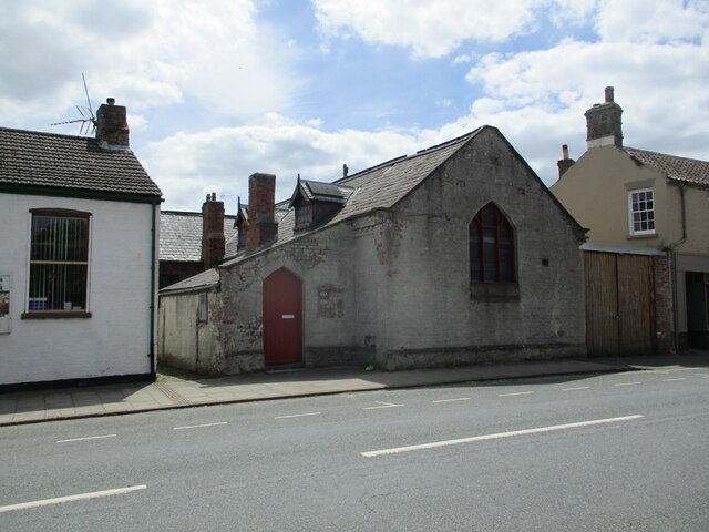
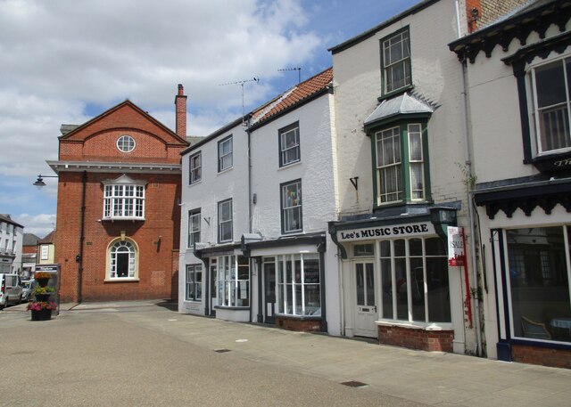
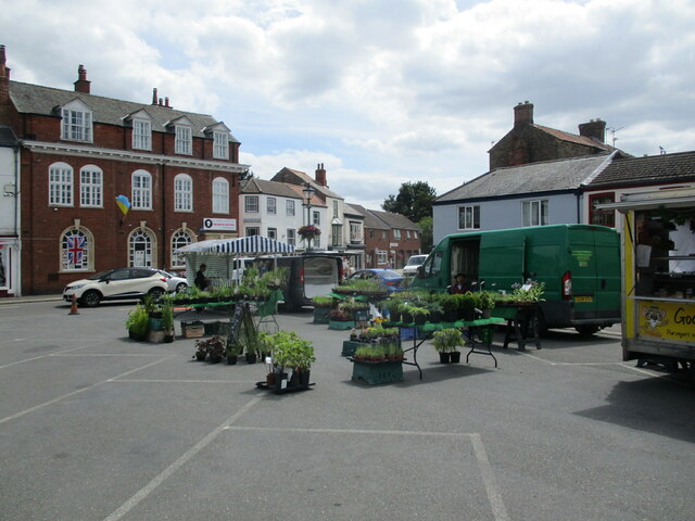
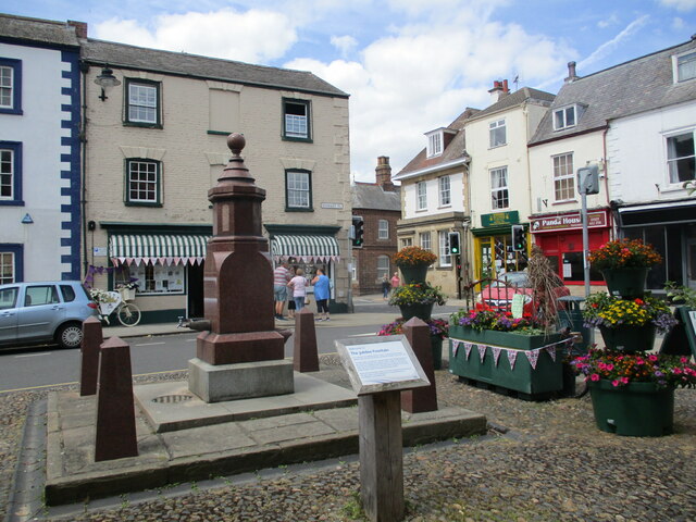
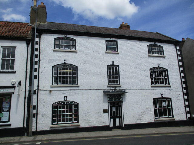
Sleights Holt Images
Images are sourced within 2km of 53.24871/0.15902611 or Grid Reference TF4474. Thanks to Geograph Open Source API. All images are credited.
Sleights Holt is located at Grid Ref: TF4474 (Lat: 53.24871, Lng: 0.15902611)
Administrative County: Lincolnshire
District: East Lindsey
Police Authority: Lincolnshire
What 3 Words
///dean.superbly.irony. Near Alford, Lincolnshire
Nearby Locations
Related Wikis

Miles Cross Hill
Miles Cross Hill is a large hill that is the sloping gradient up to the landscape of the Lincolnshire Wolds. As it is the first large hill of the Wolds...

Well, Lincolnshire
Well is a small estate village and civil parish about 1.5 miles (2.4 km) south of the town of Alford, in the East Lindsey district of Lincolnshire, England...
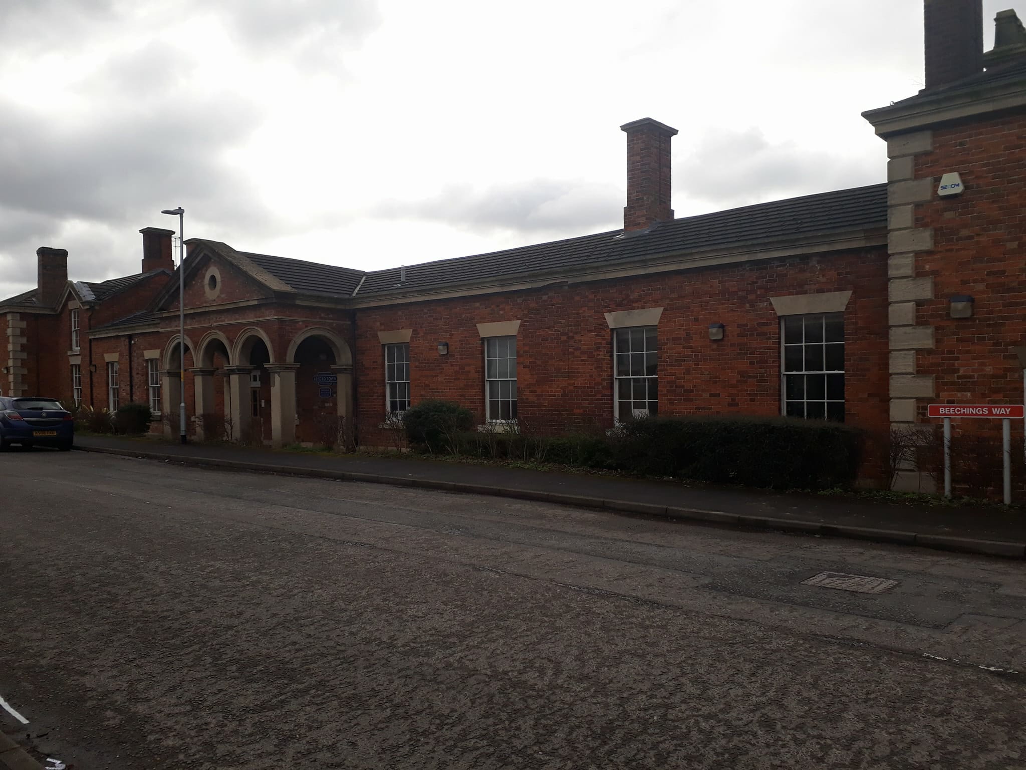
Alford Town railway station
Alford Town was a railway station on the East Lincolnshire Railway which served the town of Alford in Lincolnshire between 1848 and 1970. It originally...
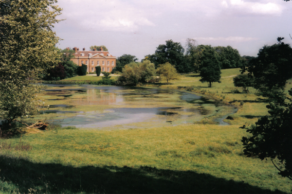
Well Hall, Lincolnshire
Well Hall (or Wellvale Hall) is a country house within the civil parish and estate village of Well, Lincolnshire, England. The house itself is Grade II...
Queen Elizabeth's Grammar School, Alford
Queen Elizabeth's Grammar School, Alford (QEGS) is a selective, co-educational, academy status Grammar School and Sixth Form in Alford, Lincolnshire, England...

Rigsby, Lincolnshire
Rigsby is a village and part of the civil parish of Rigsby with Ailby, in the East Lindsey district of Lincolnshire, England. It is situated approximately...

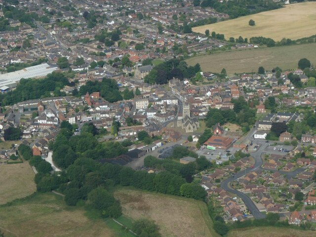
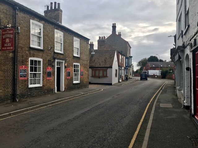
Alford, Lincolnshire
Alford (pronounced OL-fərd) is a town in the East Lindsey district of Lincolnshire, England, at the foot of the Lincolnshire Wolds, which form an Area...

Alford Manor House
The Manor House is a Grade II* listed building which can be found on West street within Alford, Lincolnshire, England. It is believed to be the largest...
Nearby Amenities
Located within 500m of 53.24871,0.15902611Have you been to Sleights Holt?
Leave your review of Sleights Holt below (or comments, questions and feedback).