Round Plantation
Wood, Forest in Lincolnshire East Lindsey
England
Round Plantation

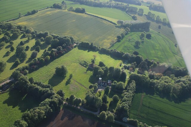
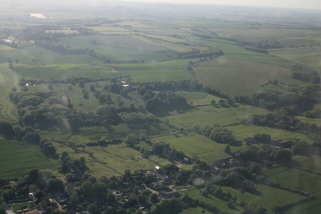
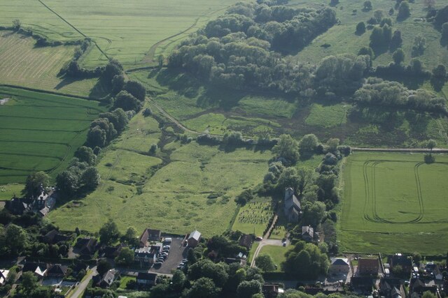
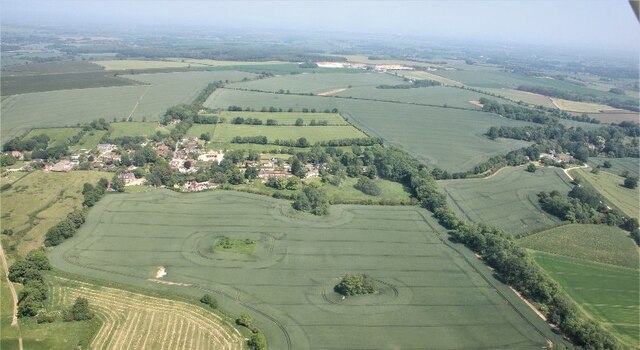
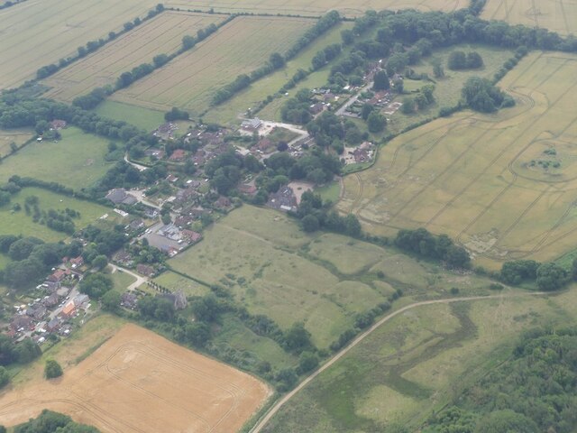
Round Plantation is a woodland area located in the county of Lincolnshire, England. Situated in the village of Wood, it is a popular destination for nature enthusiasts and outdoor lovers. The plantation covers an area of approximately 100 acres and is characterized by its dense forest and abundant wildlife.
The woodland is primarily composed of a variety of deciduous and coniferous trees, creating a diverse and vibrant landscape. The plantation is home to several species of trees, including oak, beech, birch, and pine. The dense canopy provides ample shade and creates a peaceful and tranquil atmosphere for visitors.
The woodland is crisscrossed with a network of footpaths and trails, making it an ideal location for walking and hiking. These paths offer visitors the opportunity to explore the plantation and discover its hidden gems, such as secluded clearings and picturesque viewpoints.
Round Plantation is also a haven for wildlife, with a rich variety of fauna calling it home. Visitors may spot a range of bird species, including woodpeckers, owls, and various songbirds. The woodland is also inhabited by small mammals such as squirrels, rabbits, and hedgehogs.
The plantation is a popular destination throughout the year, with each season bringing its own unique charm. In spring, the woodland comes alive with vibrant flowers and blossoms, while autumn paints the trees in a stunning array of colors. Winter offers a peaceful and serene atmosphere, with a dusting of snow transforming the plantation into a winter wonderland.
Overall, Round Plantation in Lincolnshire is a beautiful and idyllic woodland, offering visitors a chance to immerse themselves in nature and enjoy the tranquility of the forest.
If you have any feedback on the listing, please let us know in the comments section below.
Round Plantation Images
Images are sourced within 2km of 53.190469/0.15106872 or Grid Reference TF4368. Thanks to Geograph Open Source API. All images are credited.


Round Plantation is located at Grid Ref: TF4368 (Lat: 53.190469, Lng: 0.15106872)
Administrative County: Lincolnshire
District: East Lindsey
Police Authority: Lincolnshire
What 3 Words
///pythons.smallest.projects. Near Spilsby, Lincolnshire
Nearby Locations
Related Wikis

Scremby
Scremby is a village in the civil parish of Ashby with Scremby, in the East Lindsey district of Lincolnshire, England. It is situated about 4 miles (6...

Ashby with Scremby
Ashby with Scremby is a civil parish in the East Lindsey district of Lincolnshire, England, with a population of 147 (2001 census), increasing to 179 at...

Skendleby Priory
Skendleby Priory was a priory in the village of Skendleby, Lincolnshire, England. The believed remains of St James Chapel, Skendleby Priory, were uncovered...

Skendleby
Skendleby is a small village and civil parish in the East Lindsey district of Lincolnshire, England. It is situated near to the A158 and lies 35 miles...

Ashby by Partney
Ashby by Partney is a village and former civil parish, now in the parish of Ashby with Scremby, in the East Lindsey district of Lincolnshire, England....

Candlesby
Candlesby is a village and former civil parish, now in the parish of Candlesby with Gunby, in the East Lindsey district of Lincolnshire, England. It is...

Candlesby with Gunby
Candlesby with Gunby is a civil parish in the East Lindsey district of Lincolnshire, England, about 5 miles (8.0 km) east of the town of Spilsby, and includes...

Partney
Partney is a small village and civil parish in the East Lindsey district of Lincolnshire, England. It is situated 3 miles (4.8 km) north of Spilsby, and...
Related Videos

RAF Spilsby Monument, Great Steeping Walk
Country Mouse Walks - RAF Spilsby and Great Steeping Uncut Today we take a walk from the RAF Spilsby Monument, through ...
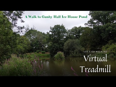
Bratoft Manor Moat to Gunby Hall Ice House Pond
Country Mouse Walks - Bratoft Manor Moat to Gunby Hall Ice House Pond Uncut Today come with me while I take a walk from the ...

Gunby House at National Trust Gunby Hall Spilsby near Skegness Lincolnshire
travel #nationaltrust #lincolnshire.
Country Mouse Walks - Partney Village Uncut Walk
Country Mouse Walks - Partney Village Uncut Walk Today we walk around Partney village a civil parish in the East Lindsey district ...
Nearby Amenities
Located within 500m of 53.190469,0.15106872Have you been to Round Plantation?
Leave your review of Round Plantation below (or comments, questions and feedback).