Goldhurst Wood
Wood, Forest in Sussex Wealden
England
Goldhurst Wood
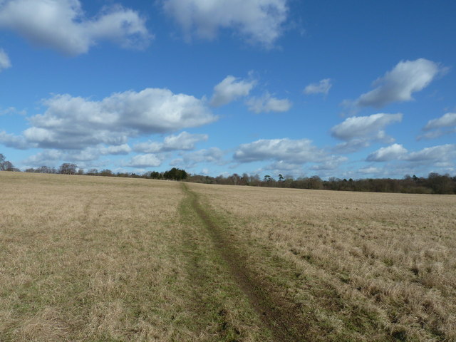
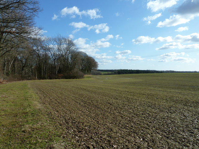
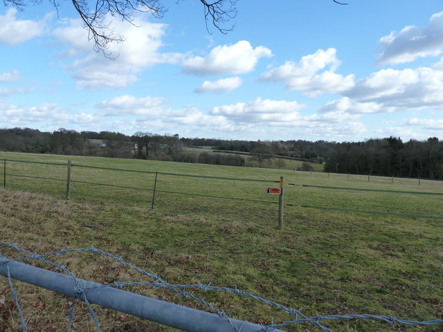
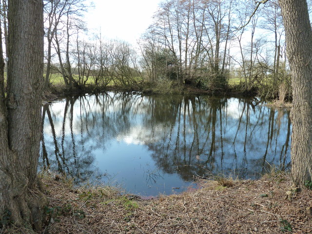
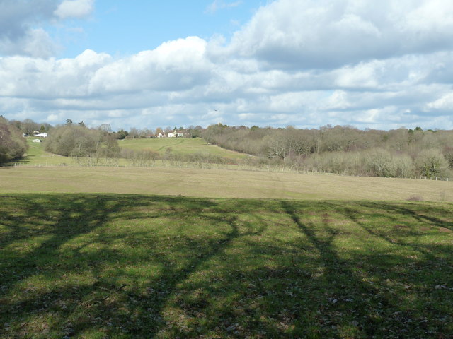
Goldhurst Wood is a picturesque woodland located in Sussex, England. Spanning over a vast area, it is nestled within the beautiful South Downs National Park, renowned for its stunning landscapes and rich biodiversity. The wood is characterized by its dense canopy cover and diverse range of tree species, including oak, beech, birch, and ash.
As visitors enter Goldhurst Wood, they are greeted by a tranquil atmosphere and a sense of serenity. The forest floor is adorned with a carpet of wildflowers, ferns, and mosses, creating a vibrant and enchanting setting. Walking along the well-maintained trails, one can appreciate the harmonious blend of nature and wildlife, with the melodious songs of various bird species echoing throughout the wood.
Goldhurst Wood offers a haven for wildlife enthusiasts and nature lovers alike. The woodland is home to a variety of animals, such as deer, foxes, badgers, and squirrels, which can often be spotted among the trees. The wood also provides an ideal habitat for a multitude of bird species, including woodpeckers, owls, and warblers, making it a haven for birdwatchers.
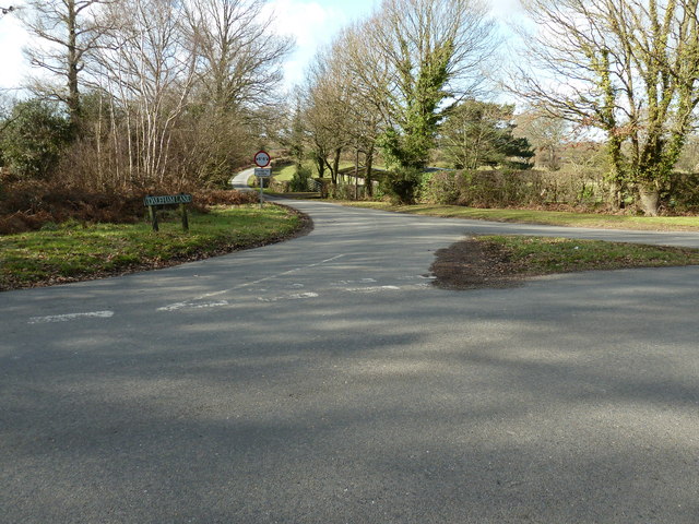
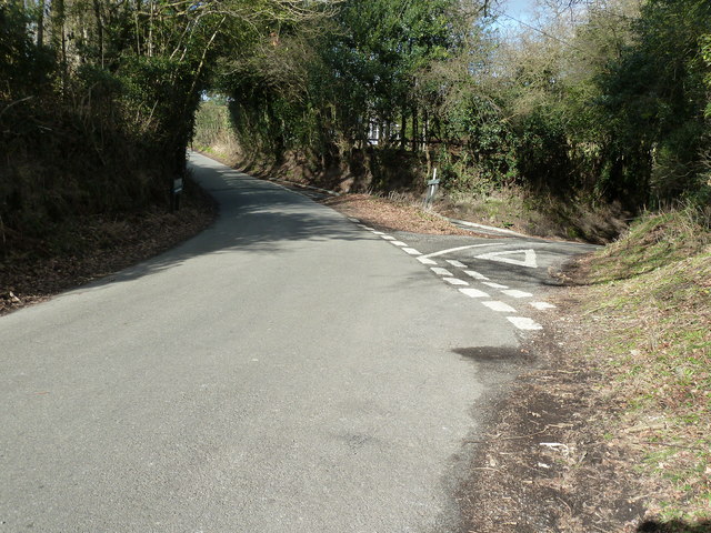
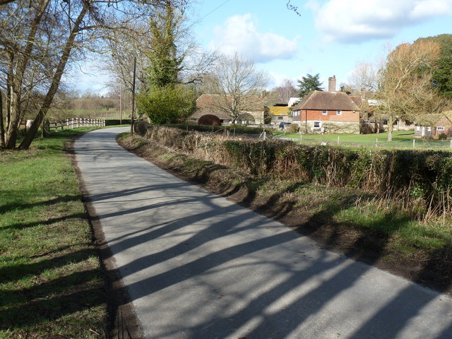
The wood's location within the South Downs National Park provides visitors with the opportunity to explore the surrounding countryside, offering panoramic views of rolling hills and valleys. Additionally, the wood is conveniently situated near several charming villages, providing an ideal base for those looking to discover the local culture and heritage.
Overall, Goldhurst Wood in Sussex is a natural treasure, offering a peaceful retreat for those seeking solace in the beauty of nature. Its rich biodiversity and idyllic surroundings make it a must-visit destination for both locals and tourists alike.
If you have any feedback on the listing, please let us know in the comments section below.
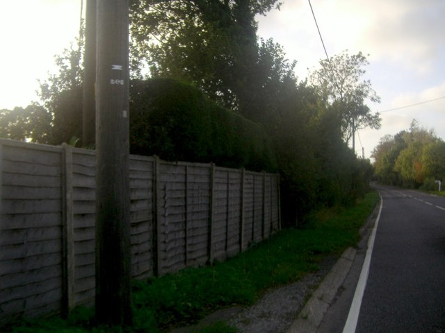
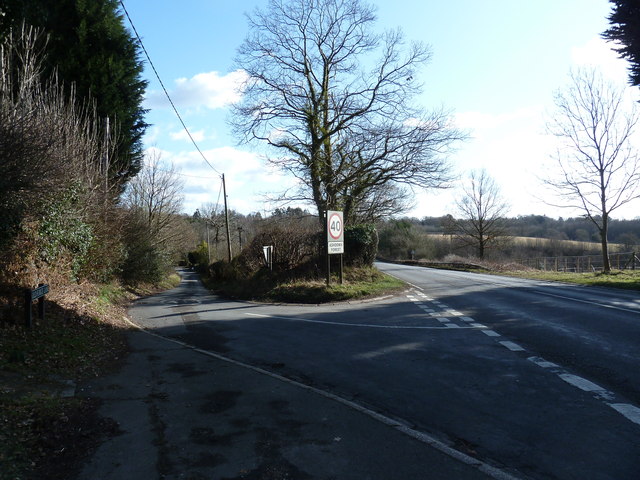
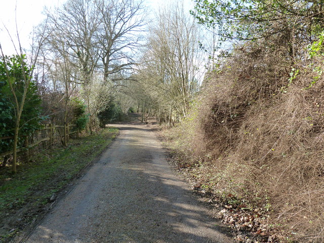
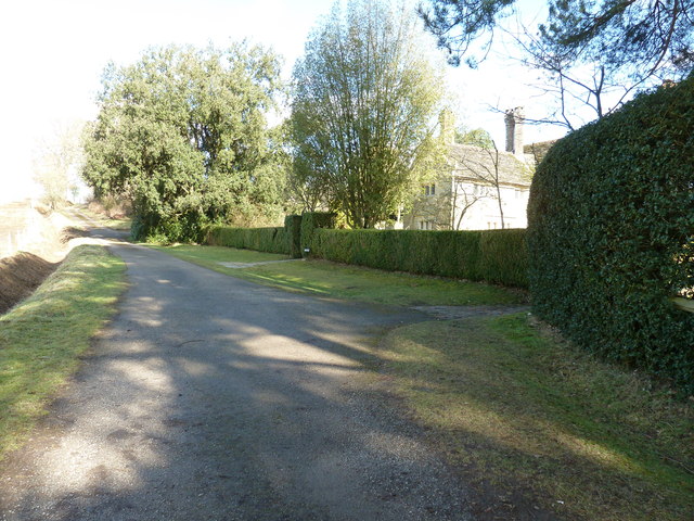
Goldhurst Wood Images
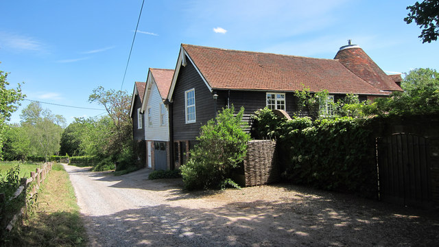
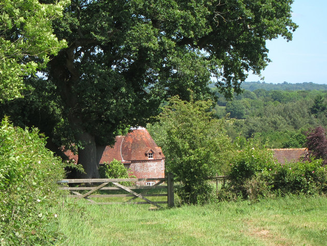
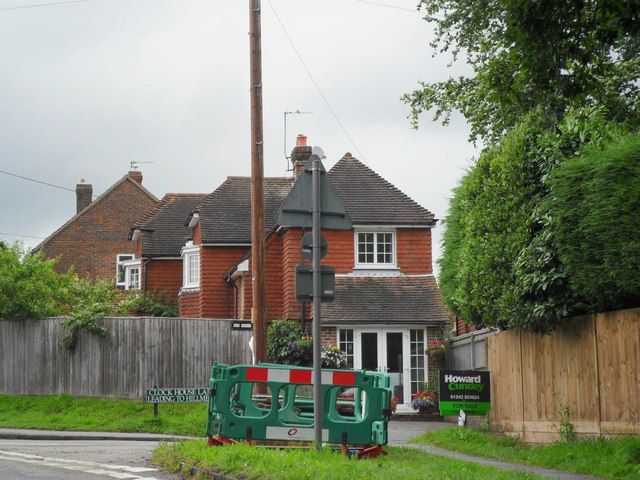
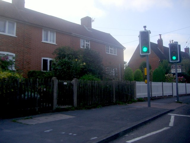
Images are sourced within 2km of 51.015201/0.047519961 or Grid Reference TQ4325. Thanks to Geograph Open Source API. All images are credited.

Goldhurst Wood is located at Grid Ref: TQ4325 (Lat: 51.015201, Lng: 0.047519961)
Administrative County: East Sussex
District: Wealden
Police Authority: Sussex
What 3 Words
///irrigate.like.shiny. Near Newick, East Sussex
Nearby Locations
Related Wikis

Nutley, East Sussex
Nutley is a village in the Wealden District of East Sussex, England. It lies about 5 mi (8.0 km) north-west of Uckfield, the main road being the A22. Nutley...

Sheffield Park cricket ground
Sheffield Park is a cricket ground at the Sheffield Park estate, located near Uckfield, East Sussex, England. From 1881 to 1896 it was the home ground...

Furner's Green
Furner's Green is a hamlet in the civil parish of Danehill in East Sussex, England. == Geography == Furner's Green lies on the Greenwich Meridian about...

Sheffield Park and Garden
Sheffield Park and Garden is an informal landscape garden five miles east of Haywards Heath, in East Sussex, England. It was originally laid out in the...
Nearby Amenities
Located within 500m of 51.015201,0.047519961Have you been to Goldhurst Wood?
Leave your review of Goldhurst Wood below (or comments, questions and feedback).