Mole Wood
Wood, Forest in Hertfordshire East Hertfordshire
England
Mole Wood

Mole Wood is a picturesque woodland located in Hertfordshire, England. Covering an area of approximately 50 hectares, this woodland offers a tranquil retreat for nature enthusiasts and hikers alike. Situated near the town of Rickmansworth, Mole Wood is part of the larger Chiltern Hills Area of Outstanding Natural Beauty.
The woodland is predominantly composed of beech trees, creating a dense canopy that provides shade and shelter for an array of wildlife. Walking through Mole Wood, visitors can spot various species of birds, such as woodpeckers and tawny owls, as well as small mammals like squirrels and foxes.
Trails wind through the wood, allowing visitors to explore the diverse ecosystem at their own pace. These paths are well-maintained and suitable for all levels of hikers, making Mole Wood an accessible destination for families and individuals.
In addition to its natural beauty, Mole Wood is also home to historical remnants. The wood contains traces of ancient earthworks, indicating human activity in the area dating back to prehistoric times. These archaeological features add an extra layer of intrigue to the woodland, enticing history enthusiasts to explore its hidden treasures.
Overall, Mole Wood offers a serene and enchanting experience in the heart of Hertfordshire. Its combination of natural beauty, diverse wildlife, and historical significance makes it a must-visit destination for those seeking to immerse themselves in the wonders of nature.
If you have any feedback on the listing, please let us know in the comments section below.
Mole Wood Images
Images are sourced within 2km of 51.817674/0.083669458 or Grid Reference TL4315. Thanks to Geograph Open Source API. All images are credited.


Mole Wood is located at Grid Ref: TL4315 (Lat: 51.817674, Lng: 0.083669458)
Administrative County: Hertfordshire
District: East Hertfordshire
Police Authority: Hertfordshire
What 3 Words
///seats.thin.live. Near Much Hadham, Hertfordshire
Nearby Locations
Related Wikis

Allen's Green
Allen's Green is a village in Hertfordshire, England. == External links == Media related to Allen's Green at Wikimedia Commons

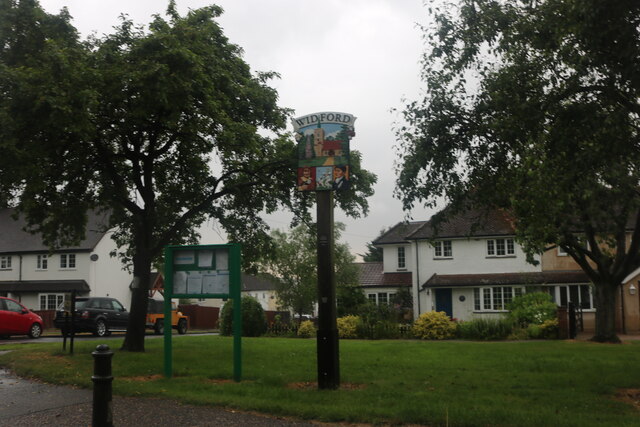
Widford, Hertfordshire
Widford is a village and civil parish between Ware and Much Hadham in the East Hertfordshire district of Hertfordshire in England. It covers an area of...

Henry Moore Foundation
The Henry Moore Foundation is a registered charity in England, established for education and promotion of the fine arts — in particular, to advance understanding...

Catuvellauni
The Catuvellauni (Common Brittonic: *Catu-wellaunī, "war-chiefs") were a Celtic tribe or state of southeastern Britain before the Roman conquest, attested...
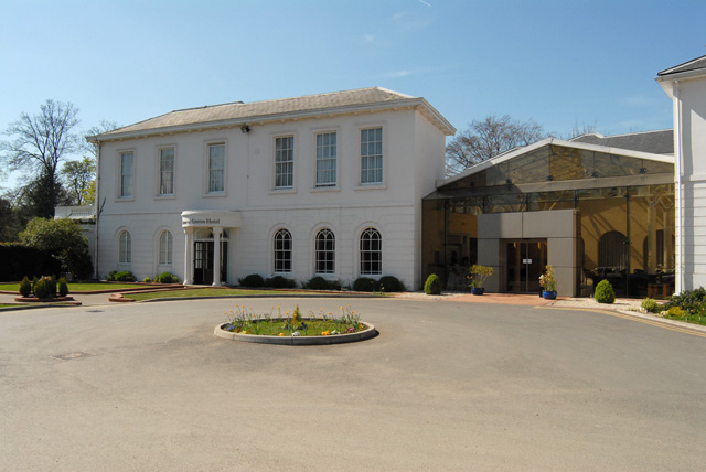
Manor of Groves
The Manor of Groves Hotel (formerly Grove Lodge) in High Wych, near Sawbridgeworth in Hertfordshire is a building of historical significance and is listed...
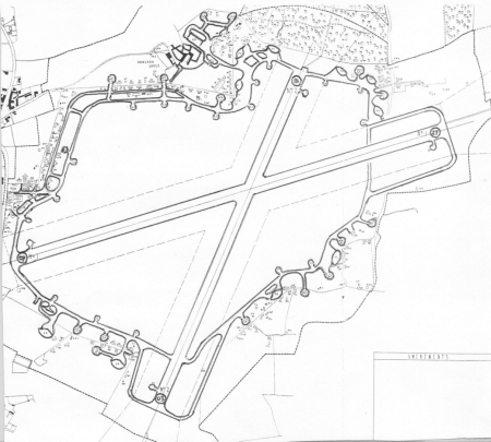
Hunsdon Airfield
Hunsdon Airfield is an airfield near Hunsdon, Hertfordshire and 2.8 miles (4.5 km) north of Harlow, Essex, England. As of 2021, it is used by a local microlight...
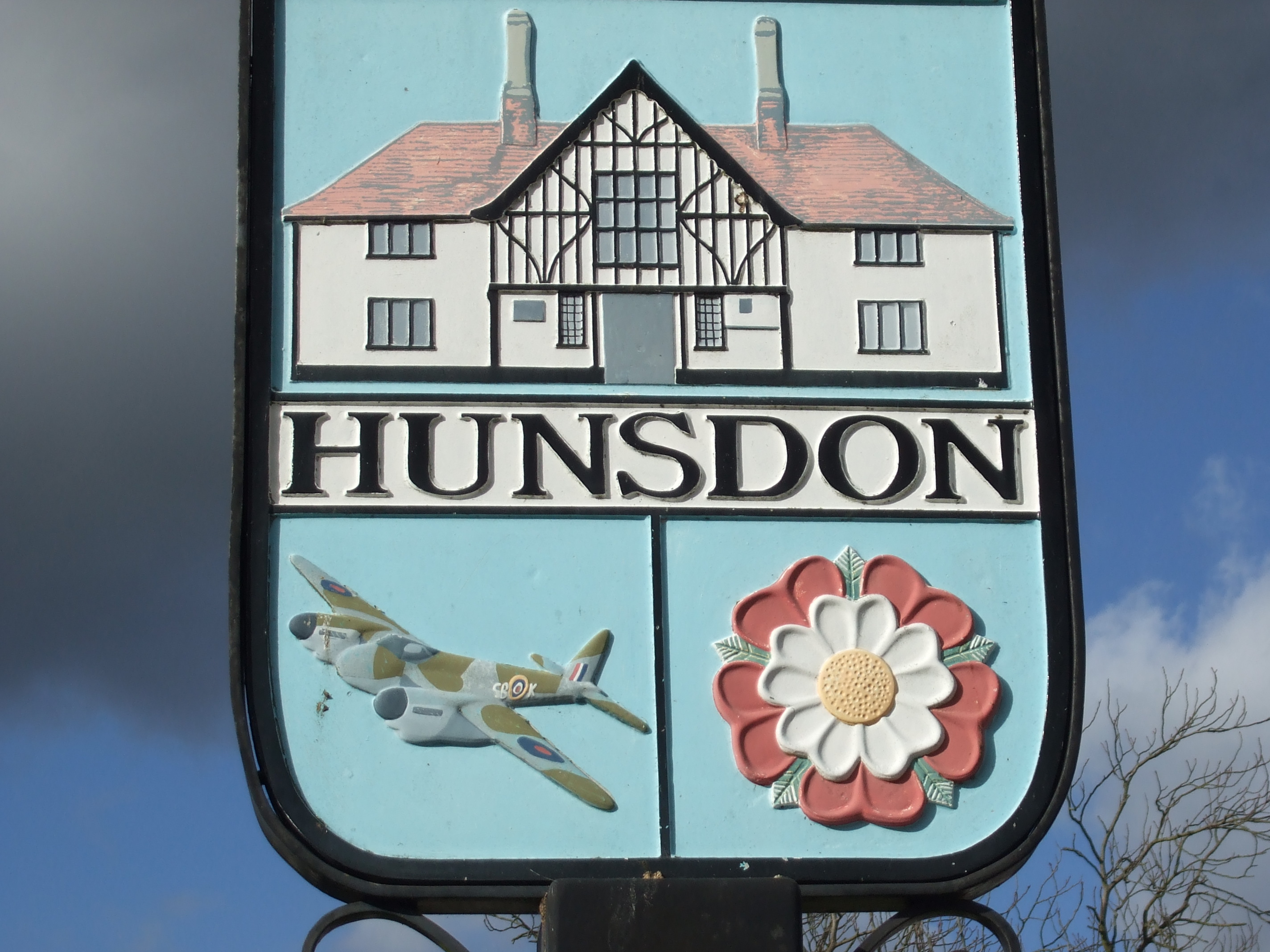
Hunsdon
Hunsdon is a village and civil parish in Hertfordshire, England. It is around 5.5 miles (9 km) east of Ware and 5 miles (8 km) north-west of Harlow. The...

Gilston Park
Gilston Park is a Grade II* listed country house in Gilston, Hertfordshire, England. It was designed by Philip Hardwick for John Hodgson around 1852....
Nearby Amenities
Located within 500m of 51.817674,0.083669458Have you been to Mole Wood?
Leave your review of Mole Wood below (or comments, questions and feedback).