Bowyer's Wood
Wood, Forest in Sussex Wealden
England
Bowyer's Wood
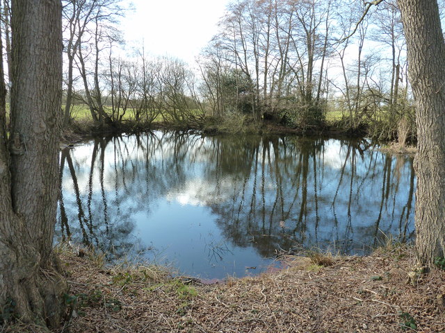
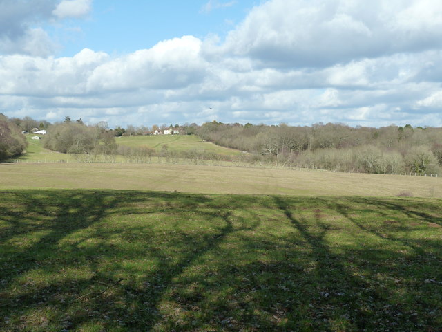
Bowyer's Wood is a picturesque woodland located in the county of Sussex, England. Covering an area of approximately 100 acres, this enchanting forest is a haven of natural beauty and tranquility. It is nestled in the heart of the South Downs National Park, offering visitors a unique opportunity to explore the diverse flora and fauna of this region.
The woodland is predominantly composed of native broadleaf trees, including oak, ash, beech, and birch, which create a dense and vibrant canopy overhead. The forest floor is adorned with a carpet of bluebells during the spring, creating a breathtaking spectacle of color and fragrance.
Bowyer's Wood is a haven for wildlife, providing a rich habitat for a variety of species. It is home to numerous birds, including woodpeckers, owls, and various songbirds, which fill the air with their melodious tunes. The forest also supports a diverse range of mammals, such as deer, foxes, and badgers, which can often be spotted roaming the woodland.
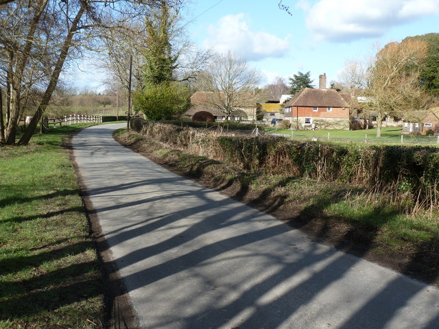
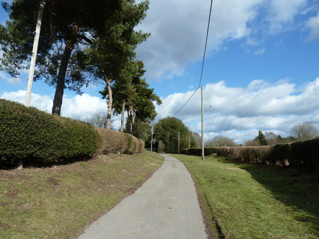
For outdoor enthusiasts, Bowyer's Wood offers a network of well-maintained footpaths and trails, allowing visitors to explore its beauty at their own pace. Whether you prefer a leisurely stroll or a more challenging hike, there are options available for all abilities. The forest also has designated picnic areas, providing a perfect spot to rest and enjoy a packed lunch amidst the peaceful surroundings.
Bowyer's Wood is a true gem of Sussex, offering a serene escape from the bustling city life. Its natural beauty, diverse wildlife, and tranquil ambience make it an ideal destination for nature lovers and those seeking a peaceful retreat in the heart of the English countryside.
If you have any feedback on the listing, please let us know in the comments section below.
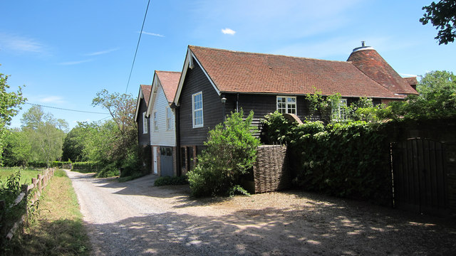
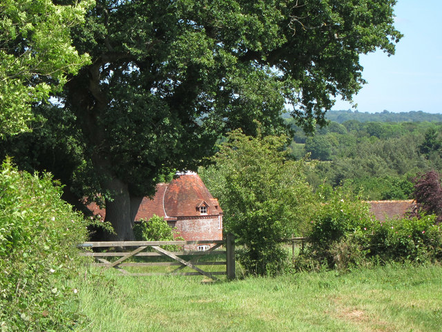
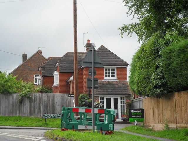
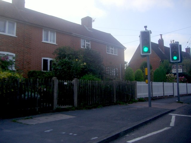
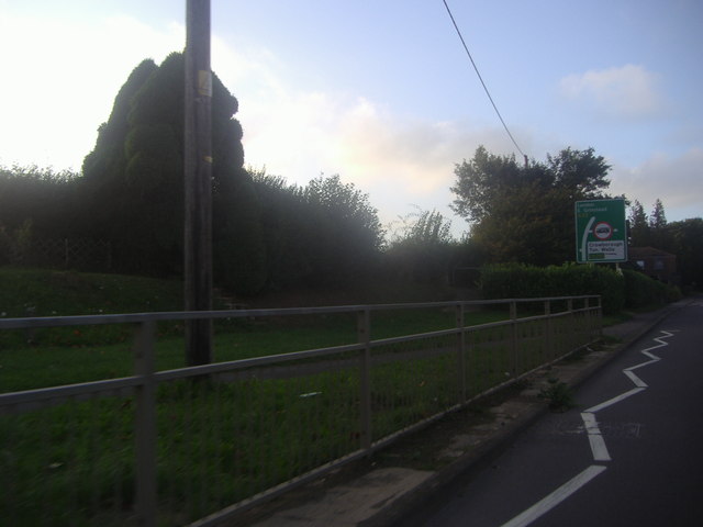
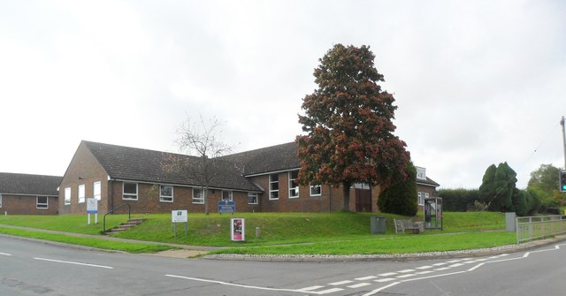
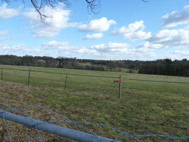
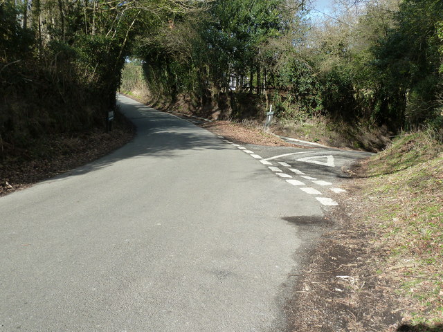
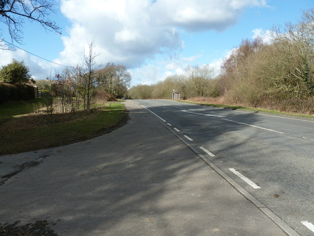
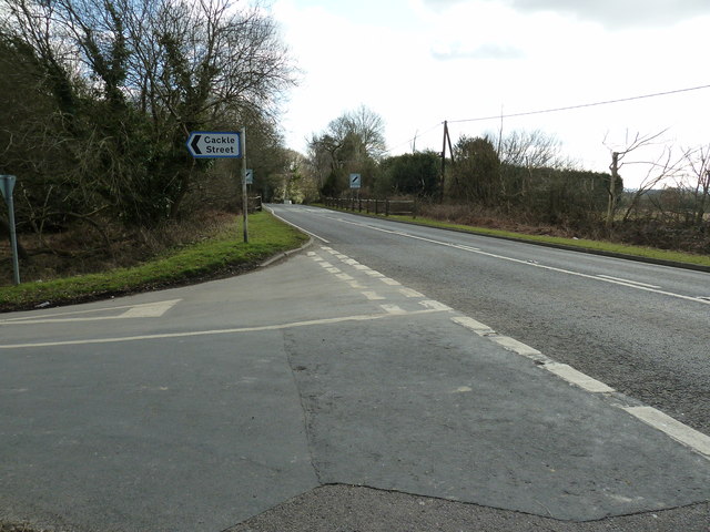
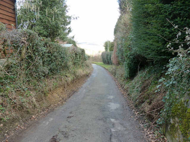
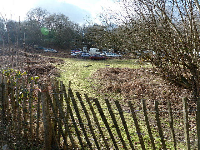
Bowyer's Wood Images
Images are sourced within 2km of 51.020453/0.04395845 or Grid Reference TQ4326. Thanks to Geograph Open Source API. All images are credited.


Bowyer's Wood is located at Grid Ref: TQ4326 (Lat: 51.020453, Lng: 0.04395845)
Administrative County: East Sussex
District: Wealden
Police Authority: Sussex
What 3 Words
///blockage.chitchat.egging. Near Horsted Keynes, West Sussex
Nearby Locations
Related Wikis

Nutley, East Sussex
Nutley is a village in the Wealden District of East Sussex, England. It lies about 5 mi (8.0 km) north-west of Uckfield, the main road being the A22. Nutley...

Furner's Green
Furner's Green is a hamlet in the civil parish of Danehill in East Sussex, England. == Geography == Furner's Green lies on the Greenwich Meridian about...

Sheffield Park cricket ground
Sheffield Park is a cricket ground at the Sheffield Park estate, located near Uckfield, East Sussex, England. From 1881 to 1896 it was the home ground...
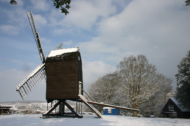
Nutley Windmill
Nutley Windmill is a grade II* listed open trestle post mill at Nutley, East Sussex, England which has been restored to working order. == History == Nutley...

Sheffield Park and Garden
Sheffield Park and Garden is an informal landscape garden five miles east of Haywards Heath, in East Sussex, England. It was originally laid out in the...

Danehill, East Sussex
Danehill is a village in East Sussex, England. == Religious sites == There are two Anglican churches in the parish: one at Danehill (dedicated to All Saints...
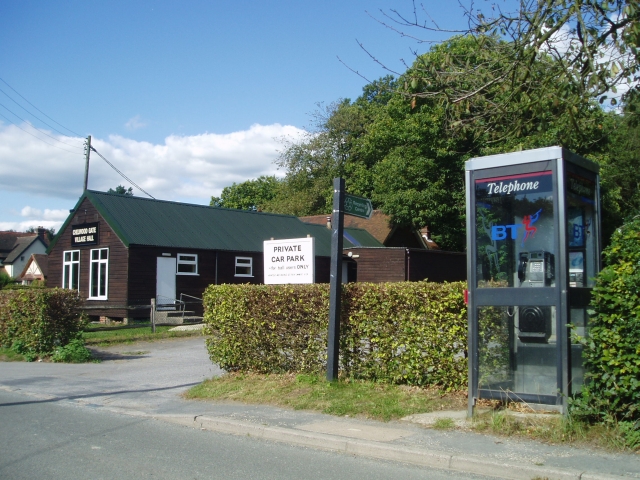
Chelwood Gate
Chelwood Gate is a small village within the civil parish of Danehill in the Wealden district of East Sussex, England. Its nearest town is Uckfield, which...

Fletching, East Sussex
Fletching is a village and civil parish in the Wealden District of East Sussex, England. It is located three miles (4.8 km) to the north-west of Uckfield...
Nearby Amenities
Located within 500m of 51.020453,0.04395845Have you been to Bowyer's Wood?
Leave your review of Bowyer's Wood below (or comments, questions and feedback).