Grisling Common
Wood, Forest in Sussex Wealden
England
Grisling Common
Grisling Common is a small village located in the county of Sussex, England. Situated within the expansive woodlands and forests of the region, the village boasts a tranquil and picturesque setting. Surrounded by lush greenery, Grisling Common offers a serene escape from the hustle and bustle of city life.
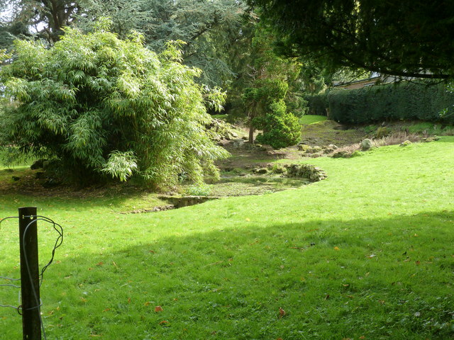
The village is known for its rich natural beauty, with an abundance of trees, plants, and wildlife. The dense woodlands provide ample opportunities for outdoor activities such as hiking, birdwatching, and nature walks. The enchanting forest paths and trails lead visitors through a diverse range of flora and fauna, creating a haven for nature enthusiasts.
Grisling Common itself is a small, tight-knit community, with a few scattered cottages and houses. The residents of the village enjoy a close-knit community spirit, with regular social gatherings and events taking place throughout the year. The village also has a charming local pub, where locals and visitors can enjoy a drink or a meal while taking in the peaceful surroundings.
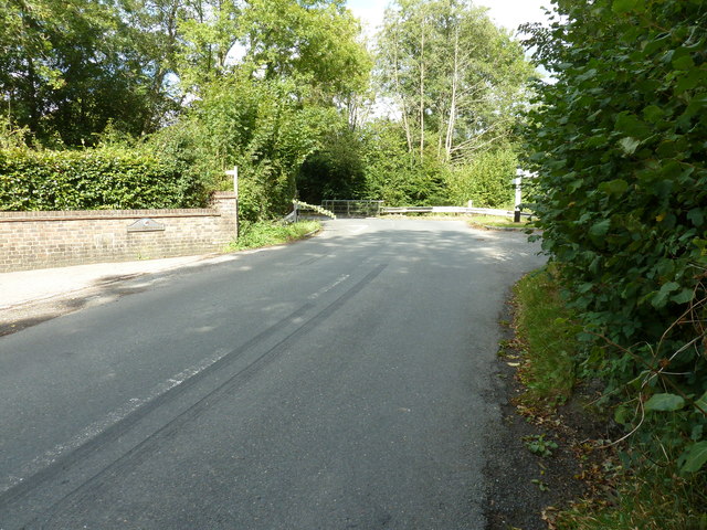
Despite its small size, Grisling Common is conveniently located near larger towns and cities. The village is within easy reach of Sussex's main transportation networks, allowing residents to access amenities and services readily. The nearby towns offer a range of shopping, dining, and entertainment options, providing a perfect balance between rural tranquility and urban convenience.
In summary, Grisling Common offers a captivating blend of natural beauty, community warmth, and convenient access to amenities. Its idyllic woodland setting and close-knit community make it an attractive destination for those seeking a peaceful retreat in the heart of Sussex.
If you have any feedback on the listing, please let us know in the comments section below.
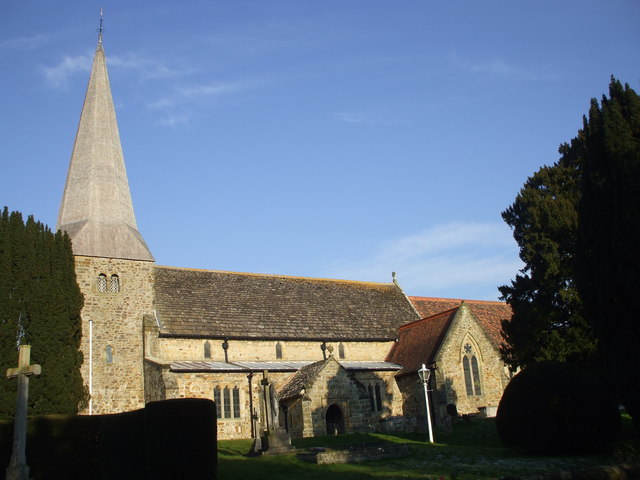
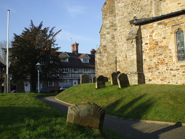
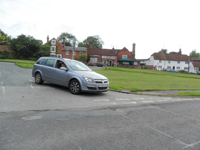
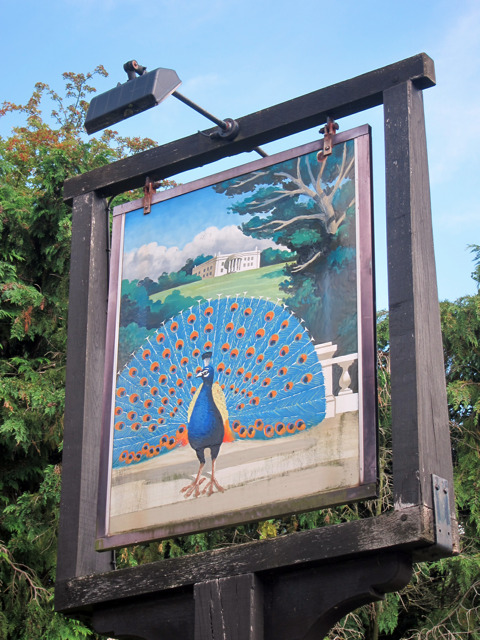
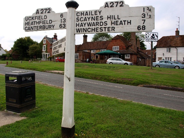
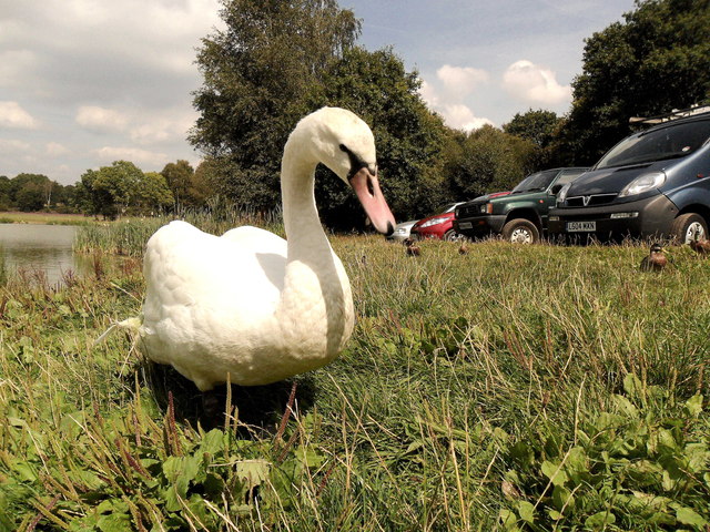
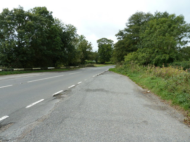
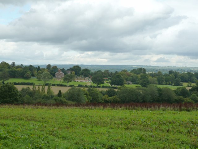
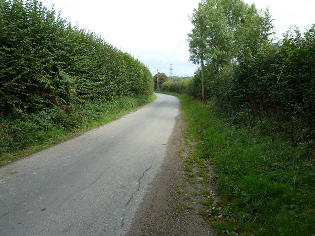
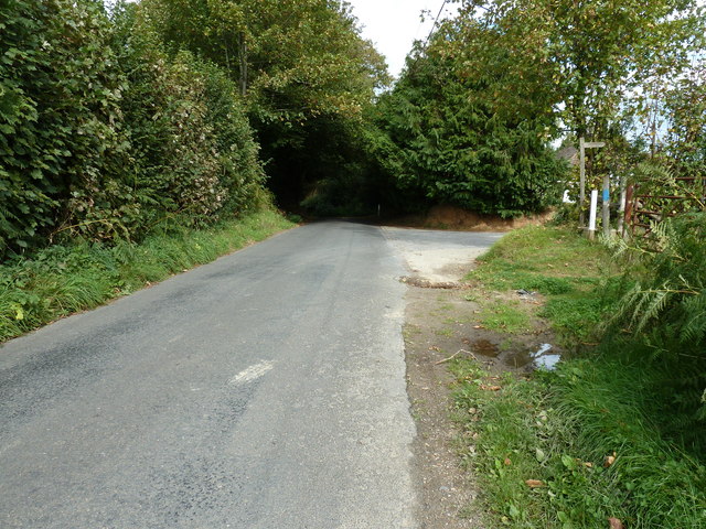
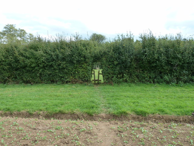
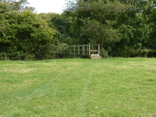
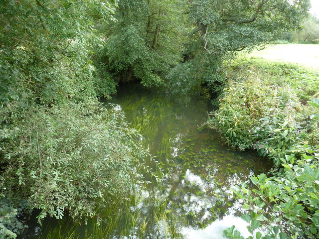
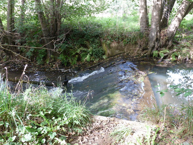
Grisling Common Images
Images are sourced within 2km of 50.979018/0.042024297 or Grid Reference TQ4321. Thanks to Geograph Open Source API. All images are credited.
Grisling Common is located at Grid Ref: TQ4321 (Lat: 50.979018, Lng: 0.042024297)
Administrative County: East Sussex
District: Wealden
Police Authority: Sussex
What 3 Words
///written.budding.airstrip. Near Newick, East Sussex
Nearby Locations
Related Wikis

Piltdown
Piltdown is a series of hamlets in East Sussex, England, located south of Ashdown Forest. It is best known for the Piltdown Man hoax where amateur archaeologist...

Fletching, East Sussex
Fletching is a village and civil parish in the Wealden District of East Sussex, England. It is located three miles (4.8 km) to the north-west of Uckfield...

Newick
Newick is a village, civil parish and electoral ward in the Lewes District of East Sussex, England. It is located on the A272 road six miles (9.7 km) east...

Piltdown Man
The Piltdown Man was a paleoanthropological fraud in which bone fragments were presented as the fossilised remains of a previously unknown early human...

Zion Chapel, Newick
Zion Chapel is a former Strict Baptist place of worship in the village of Newick in Lewes District, one of six local government districts in the English...

Sheffield Park cricket ground
Sheffield Park is a cricket ground at the Sheffield Park estate, located near Uckfield, East Sussex, England. From 1881 to 1896 it was the home ground...

West Park, Uckfield
West Park is a 10.5-hectare (26-acre) Local Nature Reserve on the western outskirts of Uckfield in East Sussex. It is owned and managed by Uckfield Town...

Sheffield Park and Garden
Sheffield Park and Garden is an informal landscape garden five miles east of Haywards Heath, in East Sussex, England. It was originally laid out in the...
Nearby Amenities
Located within 500m of 50.979018,0.042024297Have you been to Grisling Common?
Leave your review of Grisling Common below (or comments, questions and feedback).