Vyner's Plantation
Wood, Forest in Lincolnshire East Lindsey
England
Vyner's Plantation
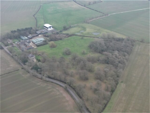
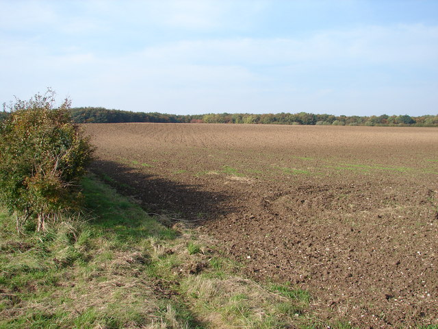
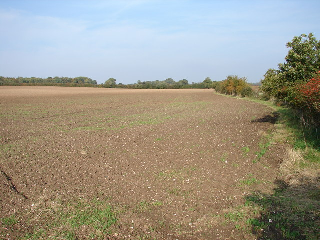
Vyner's Plantation is an expansive woodland located in the county of Lincolnshire, England. Covering a vast area, it is a haven for nature enthusiasts and hikers alike. The plantation is named after the Vyner family, who were prominent landowners in the area during the 18th century.
The woodland is characterized by its dense and diverse canopy, primarily consisting of native deciduous trees such as oak, beech, and birch. These trees provide a rich habitat for a variety of wildlife, including squirrels, foxes, and an array of bird species. The forest floor is adorned with a lush carpet of ferns, wildflowers, and mosses, creating a picturesque and serene setting.
One of the main attractions of Vyner's Plantation is its extensive network of walking trails. These well-maintained paths meander through the woodland, allowing visitors to explore its natural beauty. The trails vary in length and difficulty, catering to both casual strollers and experienced hikers. Along the way, informative signposts provide interesting facts about the local flora and fauna, enhancing the educational experience.
The plantation also offers designated picnic areas, where visitors can relax and enjoy a meal amidst the tranquil surroundings. Additionally, there are several benches strategically placed throughout the woodland, providing opportunities for contemplation and birdwatching.
Vyner's Plantation is open year-round, attracting visitors in all seasons. In spring, the woodland bursts into life with vibrant displays of bluebells and daffodils, while autumn brings a stunning tapestry of reds, oranges, and yellows as the leaves change color. During the winter months, the plantation takes on a mystical charm, with frosted trees and the occasional sighting of deer.
Overall, Vyner's Plantation is a captivating natural treasure in Lincolnshire, offering a peaceful retreat for those seeking to connect with nature.
If you have any feedback on the listing, please let us know in the comments section below.
Vyner's Plantation Images
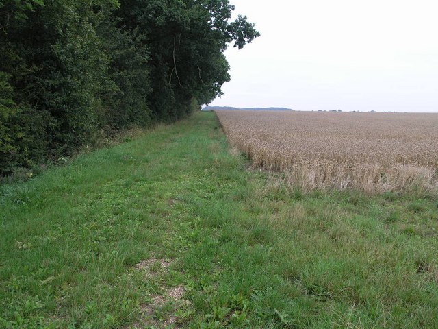
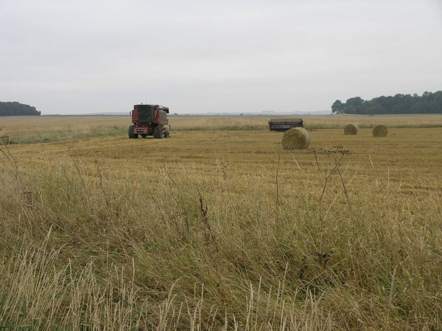
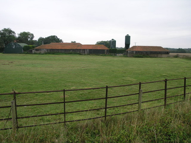
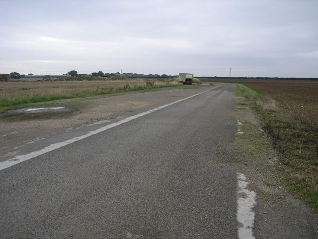
Images are sourced within 2km of 53.303471/0.1501113 or Grid Reference TF4380. Thanks to Geograph Open Source API. All images are credited.


Vyner's Plantation is located at Grid Ref: TF4380 (Lat: 53.303471, Lng: 0.1501113)
Administrative County: Lincolnshire
District: East Lindsey
Police Authority: Lincolnshire
What 3 Words
///chapters.squeezed.baker. Near Alford, Lincolnshire
Nearby Locations
Related Wikis

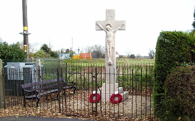
Withern
Withern is a village in the civil parish of Withern with Stain, in the East Lindsey district of Lincolnshire, England. It is situated on the A157 road...

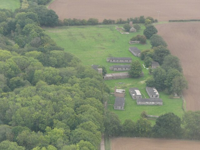
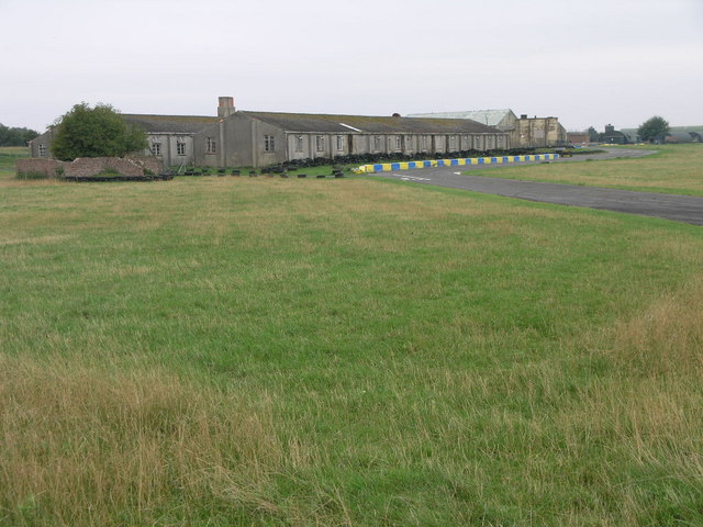
RAF Strubby
Royal Air Force Strubby or more simply RAF Strubby is a former Royal Air Force station 2.9 miles (4.7 km) north of Alford, Lincolnshire, and 8.6 miles...

Tothill
Tothill is a hamlet in the civil parish of Withern with Stain, in the East Lindsey district of Lincolnshire, England. It is situated about 6 miles (10...

Claythorpe
Claythorpe is a hamlet about 5 miles (8 km) north-west from the town of Alford, Lincolnshire, England, most notable for its water mill. The population...
Nearby Amenities
Located within 500m of 53.303471,0.1501113Have you been to Vyner's Plantation?
Leave your review of Vyner's Plantation below (or comments, questions and feedback).