Fair Oak

Settlement in Lancashire Ribble Valley

England

Fair Oak

Woodland in the Whitewell Gorge The River Hodder runs to the left of the road.
Woodland in the Whitewell Gorge Credit: Oliver Dixon

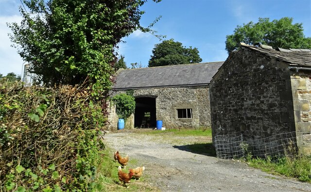
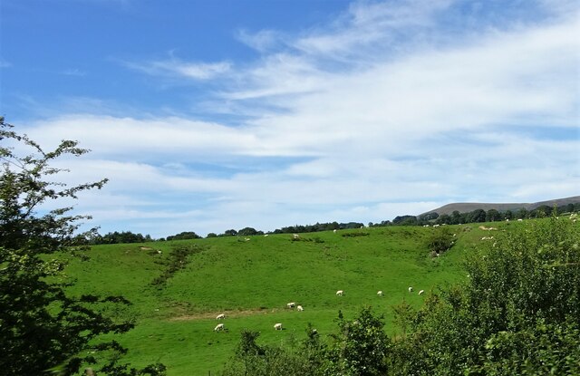
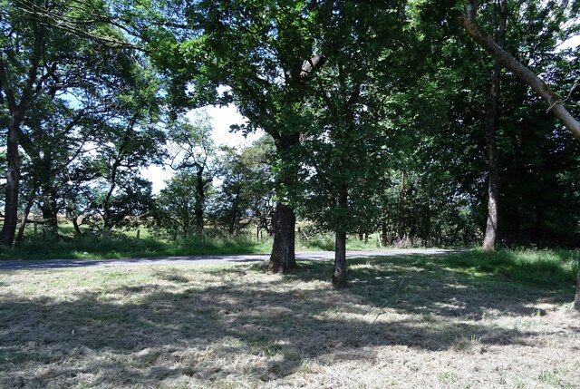
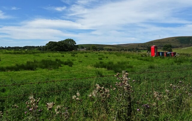
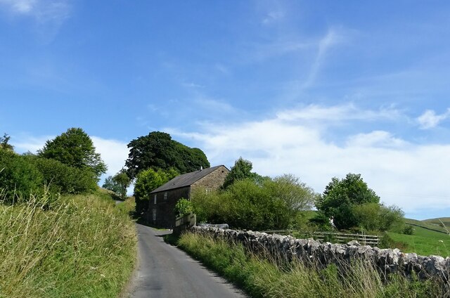
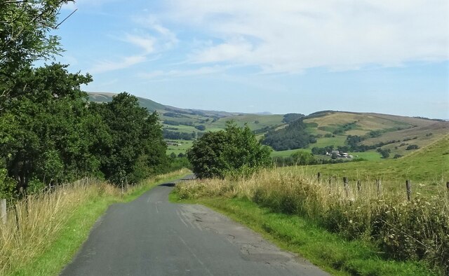
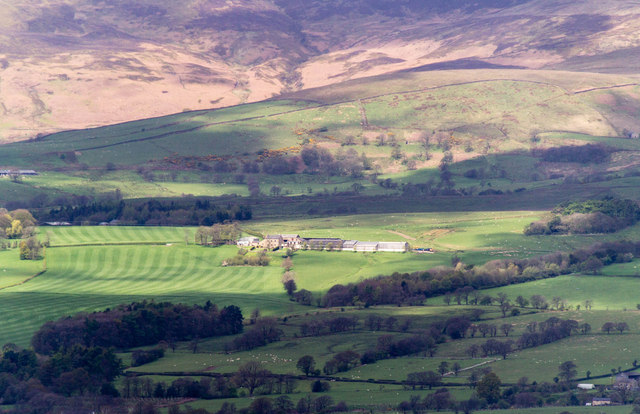
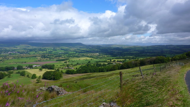
Fair Oak is a small village located in Lancashire, England. It is situated in the borough of Ribble Valley, near the town of Clitheroe. The village is known for its picturesque countryside surroundings, with rolling hills and green fields.

Fair Oak has a tight-knit community, with a population of around 500 residents. The village has a few amenities, including a local pub, a village hall, and a small primary school. Residents of Fair Oak often enjoy taking walks in the countryside or visiting nearby attractions such as the Ribble Valley Sculpture Trail.

The village is well-connected by road, with easy access to the A59 and A671, making it convenient for commuters to travel to nearby towns and cities. The nearest train station is in Clitheroe, providing further transportation options for residents.

Overall, Fair Oak offers a peaceful and rural way of life, perfect for those looking to escape the hustle and bustle of city living. The village's charming surroundings and friendly community make it a desirable place to call home.

If you have any feedback on the listing, please let us know in the comments section below.
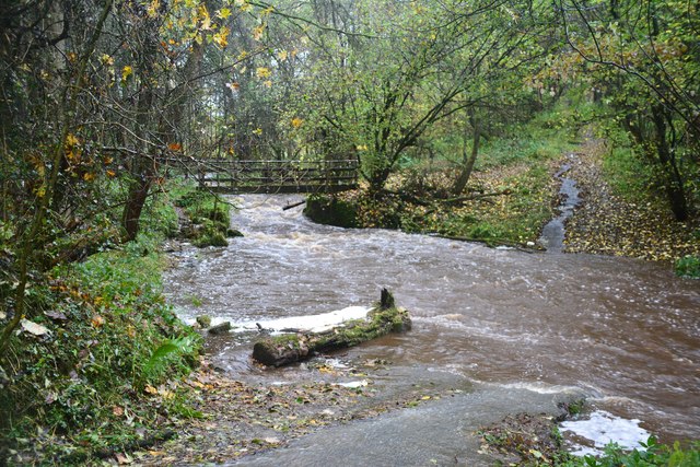
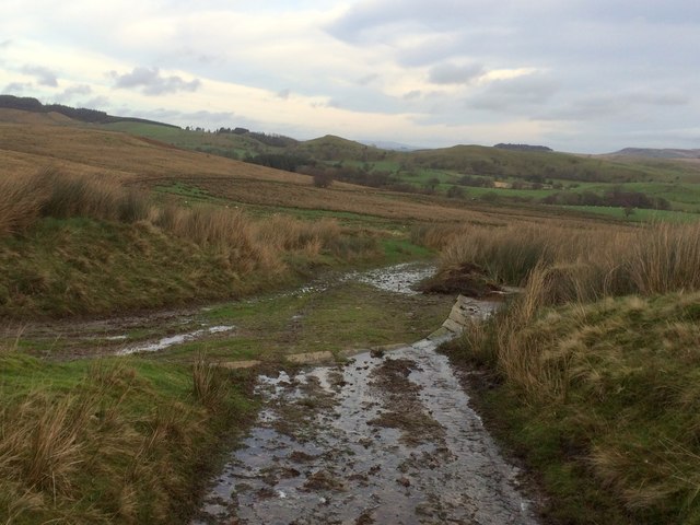
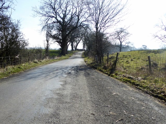
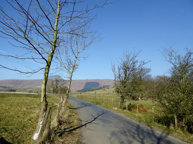
Fair Oak Images

Images are sourced within 2km of 53.908896/-2.5494792 or Grid Reference SD6446. Thanks to Geograph Open Source API. All images are credited.

Woodland in the Whitewell Gorge The River Hodder runs to the left of the road.
Woodland in the Whitewell Gorge
The River Hodder runs to the left of the road.
Stepping Stones at Whitewell This fording point on the River Hodder is taken  looking towards the Inn At Whitewell a hotel in the ownership of the Duchy of Lancaster.
Stepping Stones at Whitewell
This fording point on the River Hodder is taken looking towards the Inn At Whitewell a hotel in the ownership of the Duchy of Lancaster.
Leagram Mill Free range hens search for food around the farmyard.
Leagram Mill
Free range hens search for food around the farmyard.
Grazing sheep Near Greystoneley on the road to Dunsop Bridge.
Grazing sheep
Near Greystoneley on the road to Dunsop Bridge.
The road to Dunsop Bridge At the junction with the track to Fair Oak Farm.
The road to Dunsop Bridge
At the junction with the track to Fair Oak Farm.
Bin day at Fords On the road to Dunsop Bridge.
Bin day at Fords
On the road to Dunsop Bridge.
Knot End farmhouse Nice weather for a spot of gardening.
Knot End farmhouse
Nice weather for a spot of gardening.
The road to Dunsop Bridge Approaching Burholme Bridge.
The road to Dunsop Bridge
Approaching Burholme Bridge.
Stepping Stones Over River Hodder, Whitewell
Ing Wood Road alongside Ing Wood.
Ing Wood
Road alongside Ing Wood.
Laund Farm Laund Farm at Chipping Lawn seen from Longridge Fell.
Laund Farm
Laund Farm at Chipping Lawn seen from Longridge Fell.
Mowing Taking a late sileage or hay crop.
Mowing
Taking a late sileage or hay crop.
Looking to Whitewell & Dunsop Bridge from Longridge Fell
Ford at Lower Greystoneley This ford on the Greystoneley Brook at Lower Greystoneley is shown here after heavy rain.
<span class="nowrap"><a title="https://youtu.be/NdYZhlnb7x4" rel="nofollow ugc noopener" href="https://youtu.be/NdYZhlnb7x4">Link</a><img style="margin-left:2px;" alt="External link" title="External link - shift click to open in new window" src="https://s1.geograph.org.uk/img/external.png" width="10" height="10"/></span>
Ford at Lower Greystoneley
This ford on the Greystoneley Brook at Lower Greystoneley is shown here after heavy rain. LinkExternal link
Junction of tracks
Junction of tracks
Lane at Higher Greystoneley The road from Chipping to Dunsop Bridge.
Lane at Higher Greystoneley
The road from Chipping to Dunsop Bridge.
The road from Chipping to Dunsop Bridge At Higher Greystoneley.
The road from Chipping to Dunsop Bridge
At Higher Greystoneley.
Stepping Stones Stepping stones near the Inn at Whitewell, recent heavy rainfall has raised the river level just covering many of the stones.
Stepping Stones
Stepping stones near the Inn at Whitewell, recent heavy rainfall has raised the river level just covering many of the stones.
Show me another place!

Fair Oak is located at Grid Ref: SD6446 (Lat: 53.908896, Lng: -2.5494792)

Administrative County: Lancashire

District: Ribble Valley

Police Authority: Lancashire

What 3 Words

///youngest.testy.each. Near Waddington, Lancashire

Nearby Locations

Fair Oak

Related Wikis

Bowland-with-Leagram

Bowland-with-Leagram is a civil parish in the Ribble Valley district of Lancashire, England, covering part of the Forest of Bowland. According to the census...

Whitewell

Whitewell is a village within the civil parish of Bowland Forest Low and Ribble Valley borough of Lancashire, England. It is in the Forest of Bowland Area...

Whitewell Hotel

Whitewell Hotel is an historic building in the English parish of Bowland Forest Low, Lancashire. It is Grade II listed, built in 1836, and is in sandstone...

Lower Lees Farmhouse

Lower Lees Farmhouse is a historic building in the English parish of Bowland Forest Low, Lancashire. It is Grade II listed, built in 1678, and is a sandstone...

Nearby Amenities

Located within 500m of 53.908896,-2.5494792
Telephone
Booth: K6
Covered: booth
Lat/Long: 53.9091037/-2.5440671
Ford: yes
Lat/Long: 53.9090547/-2.5535846
The data included in this document is from www.openstreetmap.org. The data is made available under ODbL.

Have you been to Fair Oak?

Leave your review of Fair Oak below (or comments, questions and feedback).