Ailby Plantation

Wood, Forest in Lincolnshire East Lindsey

England

Ailby Plantation

Cropmarks in a field at Ailby: aerial 2021
Cropmarks in a field at Ailby: aerial 2021 Credit: Simon Tomson

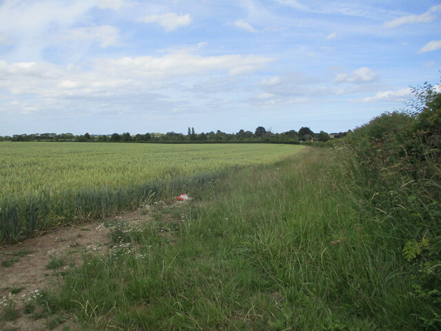
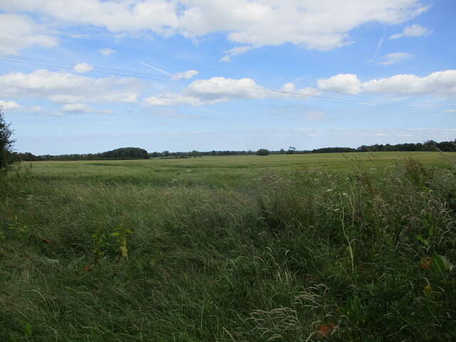
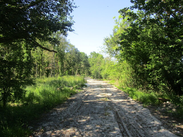
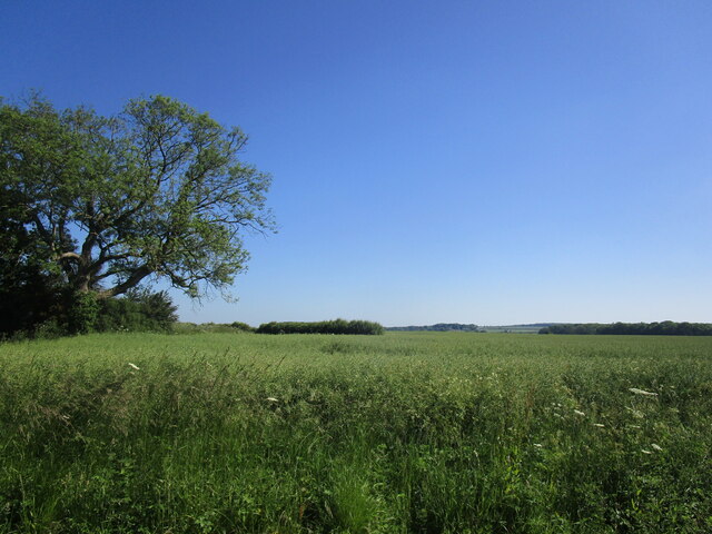
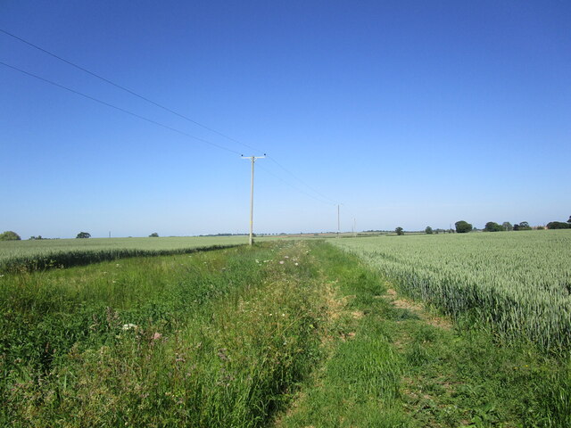
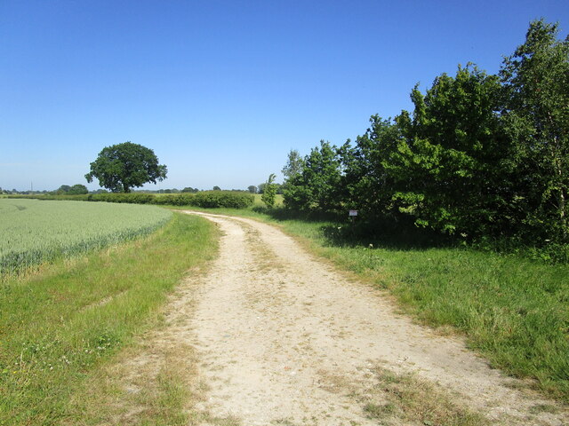
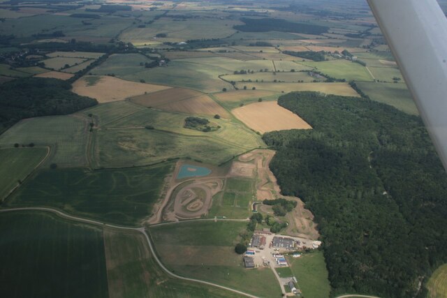
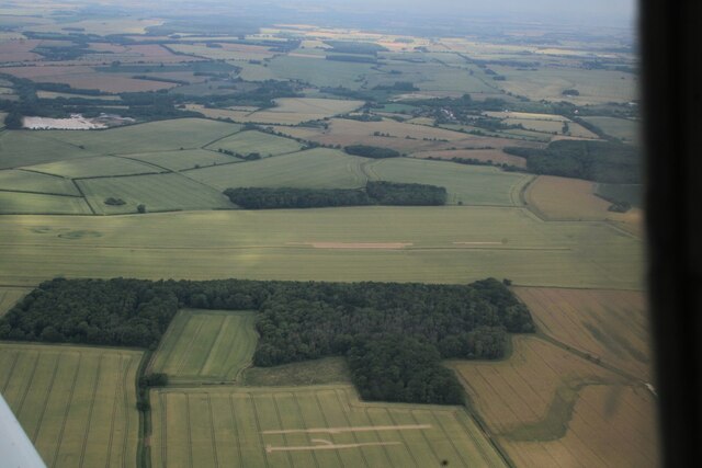
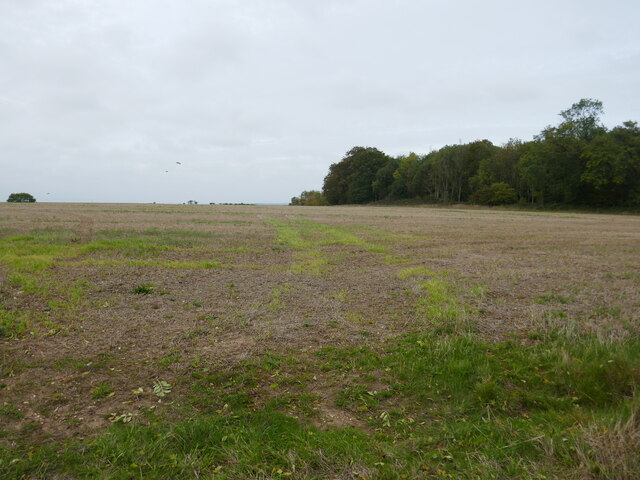
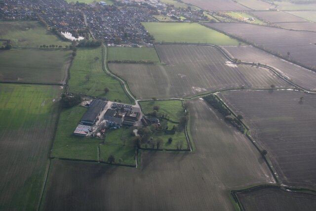
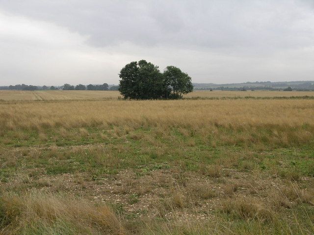
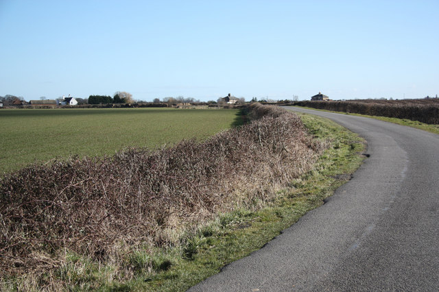
Ailby Plantation is a vast forested area located in Lincolnshire, England. Stretching across acres of land, this woodland is known for its diverse flora and fauna, making it a popular destination for nature enthusiasts and wildlife photographers.

The plantation is predominantly covered in dense woodlands, with towering trees and thick undergrowth. The variety of tree species found here includes oak, beech, birch, and pine, creating a rich and vibrant ecosystem. These trees provide a habitat for a wide range of animals, such as deer, foxes, badgers, and numerous species of birds.

The forest floor is carpeted with an array of wildflowers, ferns, and mosses, adding to the enchanting beauty of the area. Ailby Plantation also boasts several natural water features, including streams and small ponds, which further enhance the biodiversity of the ecosystem.

The plantation is a haven for birdwatchers, with numerous bird species inhabiting the area. Red kites, buzzards, woodpeckers, and owls can often be spotted perched on branches or soaring through the sky. Additionally, bird nesting boxes have been strategically placed throughout the woodland to provide shelter for a variety of bird species.

Visitors to Ailby Plantation can enjoy various activities, including walking trails, nature hikes, and wildlife photography. The peaceful atmosphere and stunning scenery make it an ideal location to reconnect with nature and experience the tranquility of the forest.

Overall, Ailby Plantation in Lincolnshire is a captivating woodland, offering a rich tapestry of trees, wildlife, and natural beauty for all to explore and appreciate.

If you have any feedback on the listing, please let us know in the comments section below.

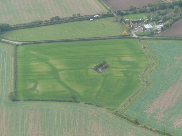
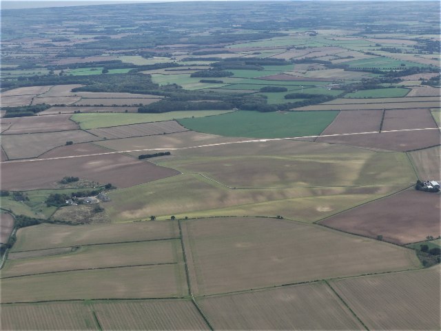
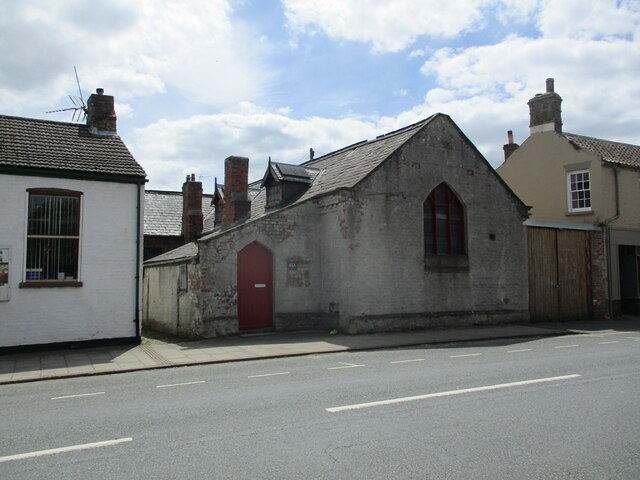
Ailby Plantation Images

Images are sourced within 2km of 53.264177/0.14692455 or Grid Reference TF4376. Thanks to Geograph Open Source API. All images are credited.

Cropmarks in a field at Ailby: aerial 2021
Former chapel, Alford
Wheat field near Alford
Barley field near Sleights Holt
Waterway near the Old Gatehouse, SE of Swinn Wood: aerial 2022
Dog-leg in Viking Link cable near Rigsby Wood: aerial 2022 Viking Link is a 1,400 MW HVDC submarine power cable under construction between the United Kingdom and Denmark. See: <span class="nowrap"><a title="https://en.wikipedia.org/wiki/Viking_Link" rel="nofollow ugc noopener" href="https://en.wikipedia.org/wiki/Viking_Link">Link</a><img style="margin-left:2px;" alt="External link" title="External link - shift click to open in new window" src="https://s1.geograph.org.uk/img/external.png" width="10" height="10"/></span>

It comes onshore south of Sandilands (alongside Boy Grift Drain) and is to finish at Bicker Fen substation.

See also <a href="https://www.geograph.org.uk/photo/7292244">TF4275 : Viking Link cable installation SE of Haugh: aerial 2022 </a>, <a href="https://www.geograph.org.uk/photo/6818182">TF3674 : Red Hill, Brinkhill and Viking Link cable run from Sandilands: aerial 2021</a> and <a href="https://www.geograph.org.uk/photo/6818114">TF3973 : Viking Link cable run passing Ulceby cross: aerial 2021</a>.
Dog-leg in Viking Link cable near Rigsby Wood: aerial 2022
Viking Link is a 1,400 MW HVDC submarine power cable under construction between the United Kingdom and Denmark. See: LinkExternal link It comes onshore south of Sandilands (alongside Boy Grift Drain) and is to finish at Bicker Fen substation. See also TF4275 : Viking Link cable installation SE of Haugh: aerial 2022 , TF3674 : Red Hill, Brinkhill and Viking Link cable run from Sandilands: aerial 2021 and TF3973 : Viking Link cable run passing Ulceby cross: aerial 2021.
Soil Mark on field NE of Haugh: aerial 2022
Viking Link cable installation SE of Haugh: aerial 2022  Viking Link is a 1,400 MW HVDC submarine power cable under construction between the United Kingdom and Denmark. See: <span class="nowrap"><a title="https://en.wikipedia.org/wiki/Viking_Link" rel="nofollow ugc noopener" href="https://en.wikipedia.org/wiki/Viking_Link">Link</a><img style="margin-left:2px;" alt="External link" title="External link - shift click to open in new window" src="https://s1.geograph.org.uk/img/external.png" width="10" height="10"/></span>

It comes onshore south of Sandilands (alongside Boy Grift Drain) and is to finish at Bicker Fen substation.

See also <a href="https://www.geograph.org.uk/photo/7292237">TF4276 : Dog-leg in Viking Link cable near Rigsby Wood: aerial 2022</a>, <a href="https://www.geograph.org.uk/photo/6818182">TF3674 : Red Hill, Brinkhill and Viking Link cable run from Sandilands: aerial 2021</a> and <a href="https://www.geograph.org.uk/photo/6818114">TF3973 : Viking Link cable run passing Ulceby cross: aerial 2021</a>.
Viking Link cable installation SE of Haugh: aerial 2022
Viking Link is a 1,400 MW HVDC submarine power cable under construction between the United Kingdom and Denmark. See: LinkExternal link It comes onshore south of Sandilands (alongside Boy Grift Drain) and is to finish at Bicker Fen substation. See also TF4276 : Dog-leg in Viking Link cable near Rigsby Wood: aerial 2022, TF3674 : Red Hill, Brinkhill and Viking Link cable run from Sandilands: aerial 2021 and TF3973 : Viking Link cable run passing Ulceby cross: aerial 2021.
Track in Greenfield Wood Not a public right of way.
Track in Greenfield Wood
Not a public right of way.
Wheatfield off Greenfield Lane
Footpath to Tothby
Footpath to Tothby
Track to Tothby Manor A public footpath runs parallel to this beyond the hedge.
Track to Tothby Manor
A public footpath runs parallel to this beyond the hedge.
Across Aby to Mother Wood and a leisure facility: aerial 2023
Rigsby Wood: aerial 2023
Stubble field and Bogle Holt
Earthworks in fields at Tothby, Alford: aerial 2023 There are two records in the HER, though neither seems centred on these grass fields. They are:

<span class="nowrap"><a title="https://www.heritagegateway.org.uk/Gateway/Results_Single.aspx?uid=MLI116295&resourceID=1006" rel="nofollow ugc noopener" href="https://www.heritagegateway.org.uk/Gateway/Results_Single.aspx?uid=MLI116295&resourceID=1006">Link</a><img style="margin-left:2px;" alt="External link" title="External link - shift click to open in new window" src="https://s1.geograph.org.uk/img/external.png" width="10" height="10"/></span> (undated settlement features) and

<span class="nowrap"><a title="https://www.heritagegateway.org.uk/Gateway/Results_Single.aspx?uid=MLI42529&resourceID=1006" rel="nofollow ugc noopener" href="https://www.heritagegateway.org.uk/Gateway/Results_Single.aspx?uid=MLI42529&resourceID=1006">Link</a><img style="margin-left:2px;" alt="External link" title="External link - shift click to open in new window" src="https://s1.geograph.org.uk/img/external.png" width="10" height="10"/></span> (the lost hamlet of Tothby).
Earthworks in fields at Tothby, Alford: aerial 2023
There are two records in the HER, though neither seems centred on these grass fields. They are: LinkExternal link (undated settlement features) and LinkExternal link (the lost hamlet of Tothby).
Lonely Trees This small clump of trees is surrounded by a vast area of field.
Lonely Trees
This small clump of trees is surrounded by a vast area of field.
Show me another place!

Ailby Plantation is located at Grid Ref: TF4376 (Lat: 53.264177, Lng: 0.14692455)

Administrative County: Lincolnshire

District: East Lindsey

Police Authority: Lincolnshire

What 3 Words

///stores.trams.inert. Near Alford, Lincolnshire

Related Wikis

Ailby

Ailby is a hamlet in the East Lindsey district of Lincolnshire, England. It is situated less than 1 mile (1.6 km) north-west from Alford, and forms part...

Rigsby, Lincolnshire

Rigsby is a village and part of the civil parish of Rigsby with Ailby, in the East Lindsey district of Lincolnshire, England. It is situated approximately...

Tothby

Tothby is a hamlet less than 1 mile (1.6 km) north from the town of Alford, in the East Lindsey district of Lincolnshire, England. In the 1086 Domesday...

Alford Town railway station

Alford Town was a railway station on the East Lincolnshire Railway which served the town of Alford in Lincolnshire between 1848 and 1970. It originally...

Queen Elizabeth's Grammar School, Alford

Queen Elizabeth's Grammar School, Alford (QEGS) is a selective, co-educational, academy status Grammar School and Sixth Form in Alford, Lincolnshire, England...

Greenfield Priory

Greenfield Priory was a Cistercian priory in Greenfield, near Aby, Lincolnshire, England. It was founded before the year 1153 by Eudo of Grainsby and...

Miles Cross Hill

Miles Cross Hill is a large hill that is the sloping gradient up to the landscape of the Lincolnshire Wolds. As it is the first large hill of the Wolds...

Haugh, Lincolnshire

Haugh is a hamlet and civil parish in the East Lindsey district of Lincolnshire, England. It is situated about 2 miles (3 km) south-west from the town...

Related Videos

The Stables barn to holiday cottage conversion - Rigsby Wold Holiday Cottages, Lincolnshire

A 12 minute video showing the barn conversion we performed on an old disused barn dating from 1800s on our family farm in ...

Pheasant Holliday Cottage Rigsby, Alford, Lincolnshire Wolds UK

On our family farm we have 3 holiday cottages: Pheasant, Owl and Stables. This short video is about Pheasant - it is our first short ...

South Thoresby walk, Lincolnshire, UK

A walk of around 5 miles starting in South Thoresby and doing a figure 8 route meaning the route can be shorter if required.

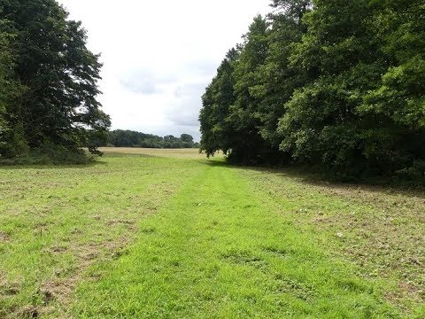
Rigsby wood , Cam travel.

GoPro 10 in action + color grading My Gear : Drone - DJI mini 3 Pro Cam - GO Pro 10 Laptop - Acer Predator Helios 300 i7 ...

Nearby Amenities

Located within 500m of 53.264177,0.14692455
Barrier: stile
Lat/Long: 53.2624954/0.148856
Ailby Farm
Alt Name: Ailby Wood Farm
Place: farm
Source: Bing
Lat/Long: 53.265743/0.1465622
The data included in this document is from www.openstreetmap.org. The data is made available under ODbL.

Have you been to Ailby Plantation?

Leave your review of Ailby Plantation below (or comments, questions and feedback).