Histon Wood
Wood, Forest in Cambridgeshire South Cambridgeshire
England
Histon Wood
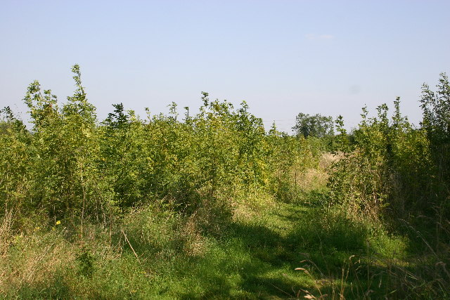
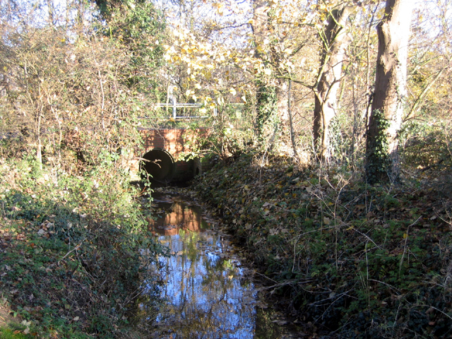
Histon Wood is a picturesque woodland located in Cambridgeshire, England. Covering an area of approximately 70 acres, it is a popular destination for nature enthusiasts and those seeking a tranquil escape from urban life. The wood is situated near the village of Histon, just a few miles northwest of Cambridge.
The woodland is primarily composed of broadleaf trees, such as oak, beech, and ash, which create a diverse and vibrant ecosystem. It is home to a variety of wildlife, including deer, squirrels, and numerous species of birds. The wood is particularly known for its bird population, attracting birdwatchers throughout the year.
Histon Wood offers a network of well-maintained footpaths, allowing visitors to explore the natural beauty at their own pace. The paths wind through the trees, offering glimpses of wildflowers and small clearings along the way. There are also several benches and picnic areas, providing spots for visitors to rest and enjoy the peaceful surroundings.
The wood is managed by a local conservation group, ensuring its preservation and protection. Regular maintenance activities, such as tree planting and invasive species control, are carried out to maintain the health and diversity of the woodland.
Histon Wood is open to the public year-round, with no admission fee. It is a place where visitors can reconnect with nature, take leisurely walks, and appreciate the beauty of the natural world. Whether it's to enjoy a peaceful stroll or observe the local wildlife, Histon Wood offers a serene and idyllic retreat for all who venture into its tranquil embrace.
If you have any feedback on the listing, please let us know in the comments section below.
Histon Wood Images
Images are sourced within 2km of 52.250002/0.096970086 or Grid Reference TL4363. Thanks to Geograph Open Source API. All images are credited.


Histon Wood is located at Grid Ref: TL4363 (Lat: 52.250002, Lng: 0.096970086)
Administrative County: Cambridgeshire
District: South Cambridgeshire
Police Authority: Cambridgeshire
What 3 Words
///cook.gripes.brilliant. Near Histon, Cambridgeshire
Nearby Locations
Related Wikis

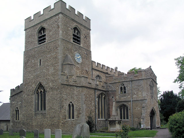
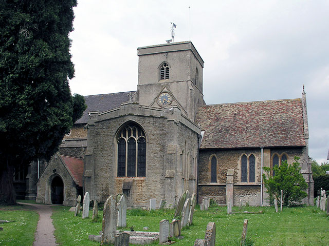
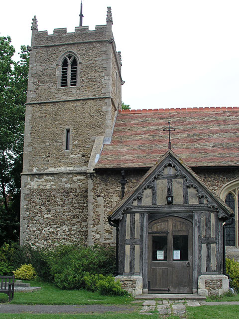
Histon
Histon is a village and civil parish in the South Cambridgeshire district, in the county of Cambridgeshire, England. It is immediately north of Cambridge...

Impington
Impington is a settlement and civil parish about 3 miles north of Cambridge city centre, in the South Cambridgeshire district, in the county of Cambridgeshire...

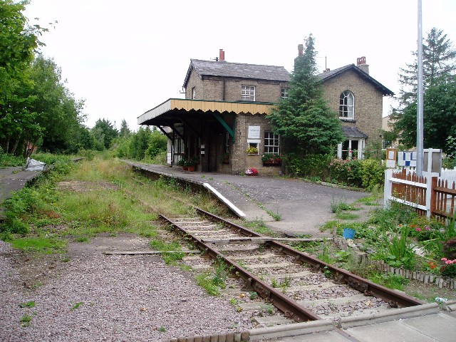
Histon railway station
Histon railway station is a disused railway station in Impington, Cambridgeshire on the Cambridge–St Ives branch of the Great Eastern Railway. The station...

Village college
The village college is an institution specific to Cambridgeshire, England, including the Peterborough unitary authority area. It caters for the education...
Impington Village College
Impington Village College is a mixed secondary school and sixth form located in Impington in the English county of Cambridgeshire. The buildings of 1938...

Bridge Road (Impington)
Bridge Road, also known as the Glassworld Stadium for sponsorship purposes, is a football stadium in Impington, a small village connected to Histon in...
Cambridge City F.C.
Cambridge City Football Club is a football club based in Cambridgeshire, England, who currently play in the Northern Premier League Division One Midlands...
Histon F.C.
Histon Football Club is a football club based in the village of Histon, Cambridgeshire, England. The club are currently members of the United Counties...
Nearby Amenities
Located within 500m of 52.250002,0.096970086Have you been to Histon Wood?
Leave your review of Histon Wood below (or comments, questions and feedback).