Bush Hill
Wood, Forest in Hertfordshire East Hertfordshire
England
Bush Hill

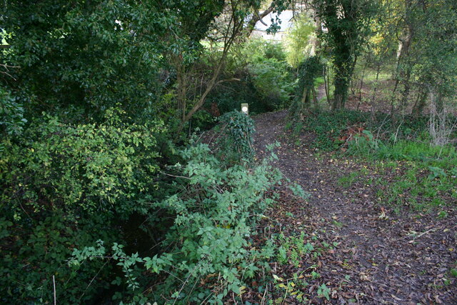
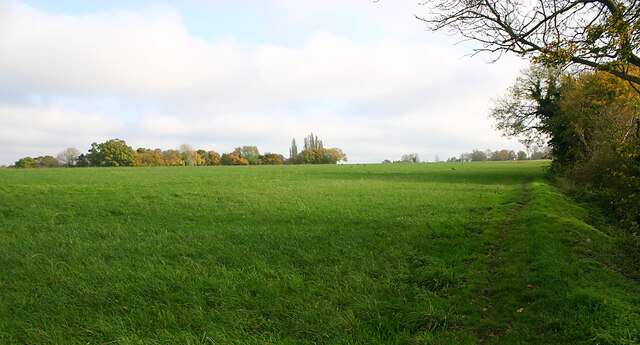
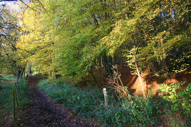
Bush Hill is a woodland and forest area located in Hertfordshire, England. Situated in close proximity to the town of Enfield, it covers an approximate area of 300 acres. The region is characterized by its lush greenery, tall trees, and a diverse range of wildlife, making it a popular spot for nature enthusiasts and hikers.
The woodland is primarily composed of deciduous trees, including oak, beech, and birch, which create a beautiful canopy and provide a habitat for various bird species, such as woodpeckers and owls. The forest floor is covered in a rich carpet of ferns, mosses, and wildflowers, adding to the picturesque scenery.
Bush Hill offers several walking trails, allowing visitors to explore the area at their own pace. These trails wind through the forest, providing opportunities to spot wildlife, enjoy peaceful surroundings, and soak in the beauty of nature. The area is also equipped with picnic tables and benches, providing a perfect setting for a family outing or a quiet escape.
The woodland holds historical significance, with evidence of human activity dating back to the Roman era. Archaeological discoveries have unearthed Roman pottery and remnants of a villa, highlighting the presence of ancient settlements.
Overall, Bush Hill in Hertfordshire is a serene and enchanting woodland, offering a tranquil escape from the bustling city life. Its natural beauty, diverse flora and fauna, and historical significance make it a cherished destination for nature lovers and history enthusiasts alike.
If you have any feedback on the listing, please let us know in the comments section below.
Bush Hill Images
Images are sourced within 2km of 51.857158/0.078130568 or Grid Reference TL4319. Thanks to Geograph Open Source API. All images are credited.


Bush Hill is located at Grid Ref: TL4319 (Lat: 51.857158, Lng: 0.078130568)
Administrative County: Hertfordshire
District: East Hertfordshire
Police Authority: Hertfordshire
What 3 Words
///levels.seats.bath. Near Much Hadham, Hertfordshire
Nearby Locations
Related Wikis

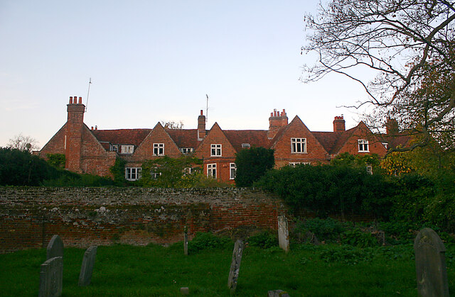
Much Hadham Palace
Much Hadham House is a manor house adjacent to the church in Much Hadham, Hertfordshire, England, formerly belonging to the Bishops of London. It is a...
Much Hadham
Much Hadham, formerly known as Great Hadham, is a village and civil parish in the district of East Hertfordshire, Hertfordshire, England. The parish of...
Hadham Rural District
Hadham Rural District was a rural district in Hertfordshire, England from 1894 to 1935, covering an area in the east of the county. == Evolution == The...

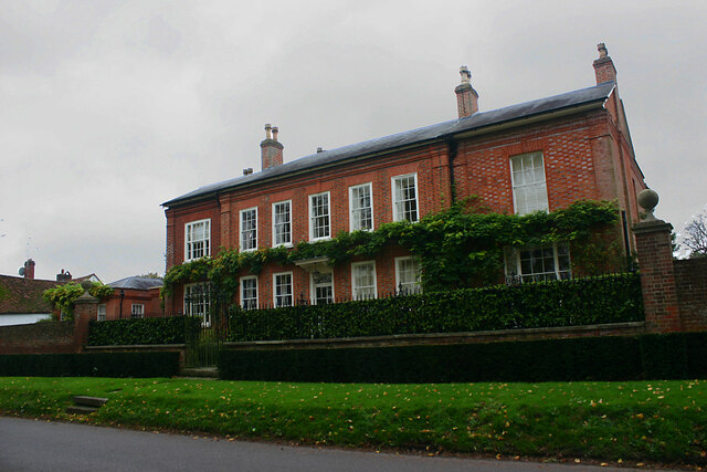
Moor Place, Hertfordshire
Moor Place is a country house within the civil parish of Much Hadham, in the East Hertfordshire district, in the county of Hertfordshire, England. It is...
Related Videos

FPV Freestyle
One of the first times I attached the GoPro to the drone, took some video of a rugby field and did a few full throttle tests.

Rugby playing fields flight
Re-uploading older videos onto this new dedicated account specifically for fpv and progress logs on my epq, where I will be ...
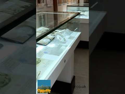
Much Hadham Forge Museum
If you are looking to visit the Forge Museum in Much Hadham in Hertfordshire, this #short provides some details Affiliate Link ...
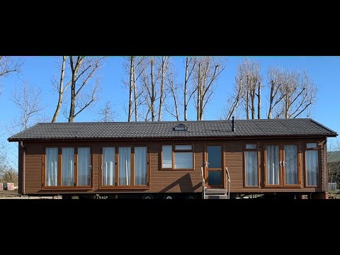
February Lodge of The Month - The Kingfisher Sideview Luxury Lodge
A tour of an Omar Kingfisher Luxury Lodge at Great Hadham Country Club. Premium Lodge.
Nearby Amenities
Located within 500m of 51.857158,0.078130568Have you been to Bush Hill?
Leave your review of Bush Hill below (or comments, questions and feedback).