Fair Green
Settlement in Norfolk King's Lynn and West Norfolk
England
Fair Green
Fair Green is a small village located in the county of Norfolk, England. Situated approximately 11 miles east of the city of Norwich, it falls within the administrative district of South Norfolk. The village is surrounded by picturesque countryside, boasting lush green fields and rolling hills.
Historically, Fair Green has been an agricultural community, with farming playing a crucial role in its economy. However, as time has progressed, the village has seen a shift towards a more residential character. Today, it is primarily known for its peaceful and idyllic setting, attracting residents seeking a tranquil countryside lifestyle.
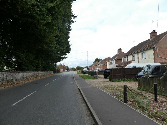
The village itself is relatively small, with a close-knit community. It features a charming village green at its center, which serves as a focal point for social gatherings and community events. The green is adorned with beautiful trees and well-maintained flower beds, adding to the village's aesthetic appeal.
Fair Green is also home to a handful of amenities to cater to the needs of its residents. These include a village hall, a post office, a local pub, and a primary school. Although limited in scale, these amenities contribute to the village's sense of community and provide essential services for its inhabitants.
For those seeking recreational activities, Fair Green offers ample opportunities for outdoor pursuits. The surrounding countryside provides an ideal setting for walking, cycling, and exploring nature. Additionally, the village is within close proximity to several nature reserves and country parks, offering further options for outdoor enthusiasts.
Overall, Fair Green is a charming and tranquil village, perfect for individuals or families seeking a peaceful countryside lifestyle, while still having easy access to nearby amenities and the vibrant city of Norwich.
If you have any feedback on the listing, please let us know in the comments section below.
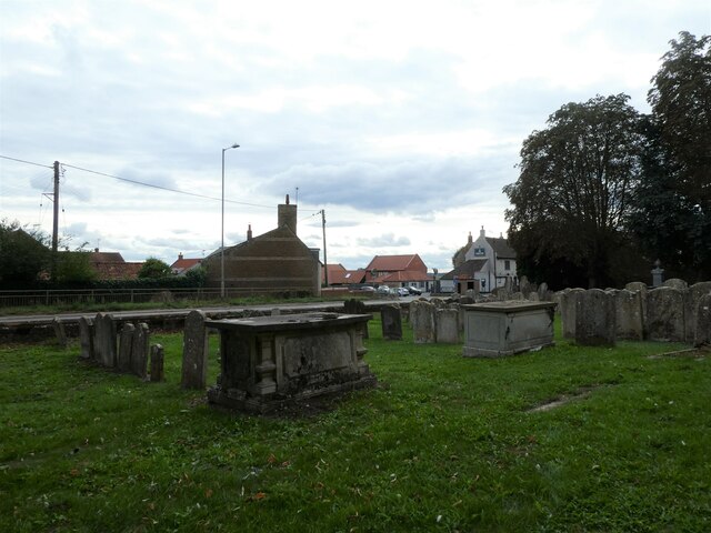
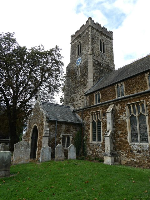
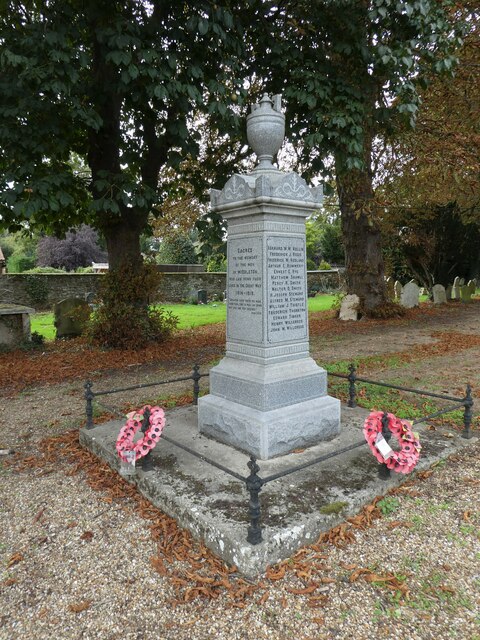
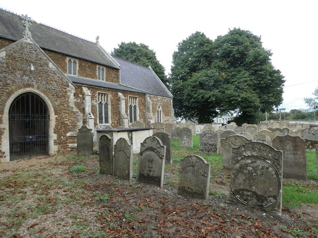
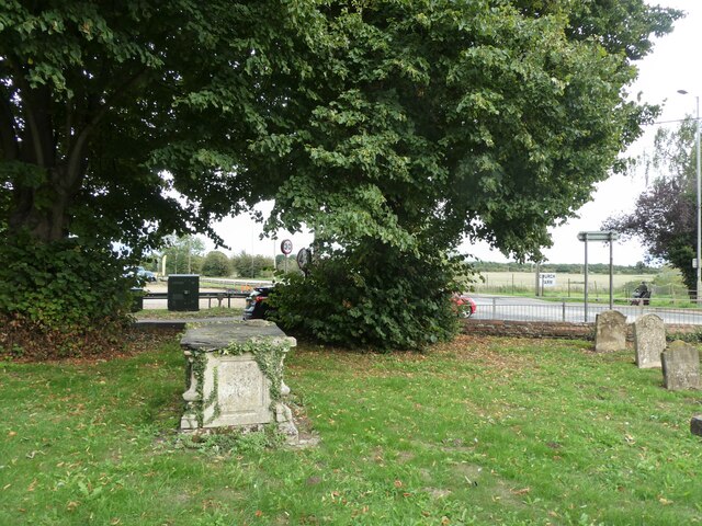
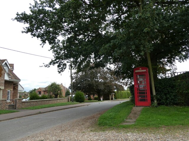
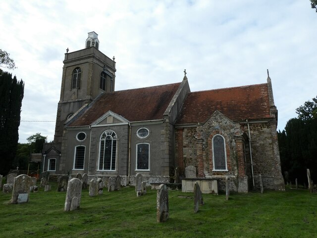
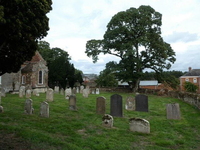
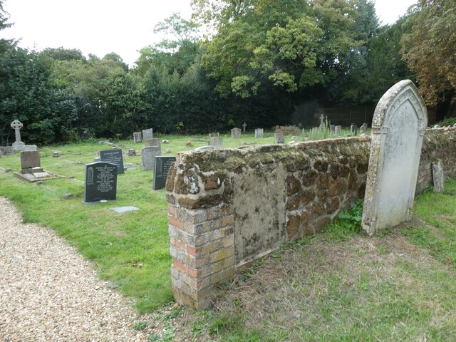
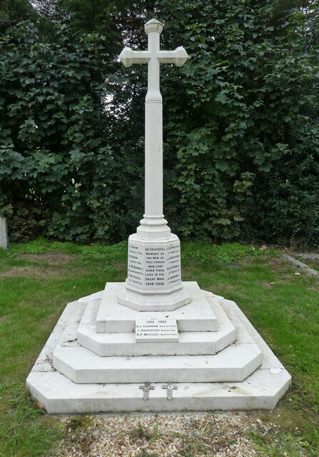
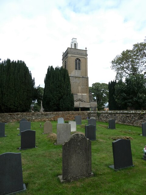
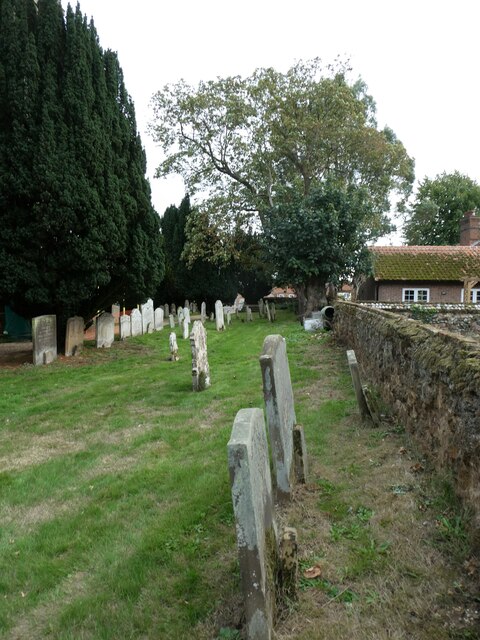
Fair Green Images
Images are sourced within 2km of 52.724322/0.452938 or Grid Reference TF6516. Thanks to Geograph Open Source API. All images are credited.


Fair Green is located at Grid Ref: TF6516 (Lat: 52.724322, Lng: 0.452938)
Administrative County: Norfolk
District: King's Lynn and West Norfolk
Police Authority: Norfolk
What 3 Words
///levels.weaved.snowstorm. Near King's Lynn, Norfolk
Nearby Locations
Related Wikis

Middleton Mount
Middleton Mount, also called Middleton Motte and Middleton Castle, is the remains of a medieval castle situated in the village of Middleton, in Norfolk...

Middleton, Norfolk
Middleton is a village and civil parish in the English county of Norfolk. It covers an area of 5.02 sq mi (13.0 km2) and had a population of 1,516 in 621...

Middleton Towers
Middleton Towers is a privately owned country house in Norfolk, England, near the village of Middleton and about 3 miles (5 km) east of King's Lynn. The...

North Runcton
North Runcton is a village and a civil parish in the English county of Norfolk. The village is 43.2 miles (69.5 km) west of Norwich, 4.3 miles (6.9 km...

Middleton Towers railway station
Middleton Towers railway station was a station in Middleton, Norfolk. It was on the line between Swaffham and King's Lynn, and closed along with the rest...
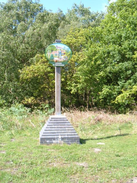
Leziate
Leziate is a village and civil parish in the English county of Norfolk. The village is 44 miles (71 km) west of Norwich, 5.7 miles (9.2 km) east of King...

West Winch Windmill
West Winch Windmill is located in the village of West Winch in the English county of Norfolk. West Winch is two miles south of King’s Lynn. The mill is...

Blackborough End Pit
Blackborough End Pit is a 13.2-hectare (33-acre) geological Site of Special Scientific Interest south-east of King's Lynn in Norfolk. It is a Geological...
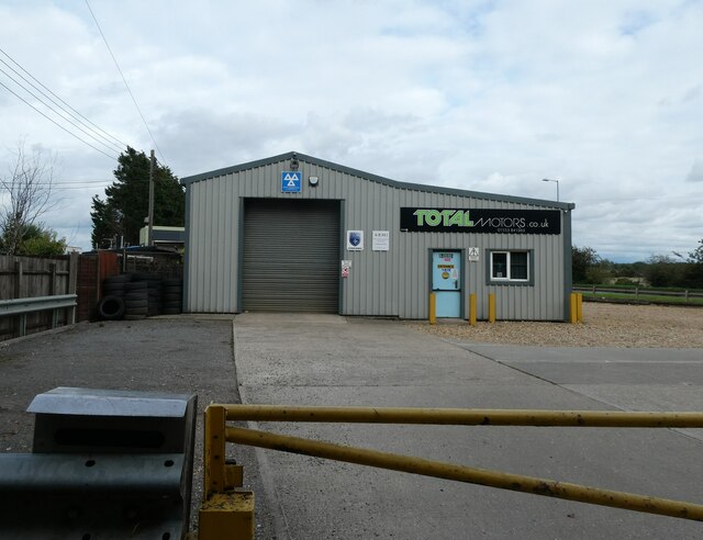
Nearby Amenities
Located within 500m of 52.724322,0.452938Have you been to Fair Green?
Leave your review of Fair Green below (or comments, questions and feedback).