Bunce's Wood

Wood, Forest in Sussex Lewes

England

Bunce's Wood

Broomlye Oast
Broomlye Oast Credit: N Chadwick

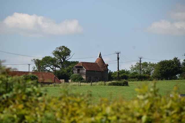
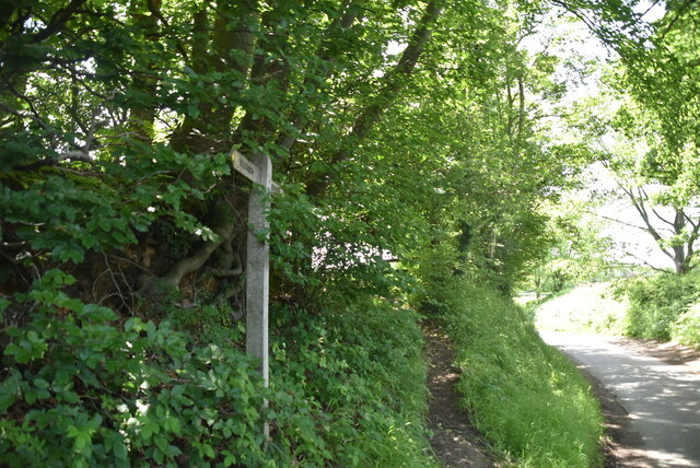
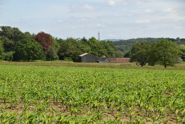
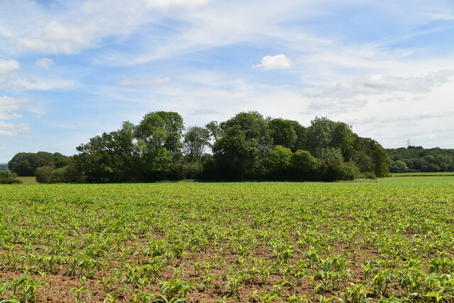
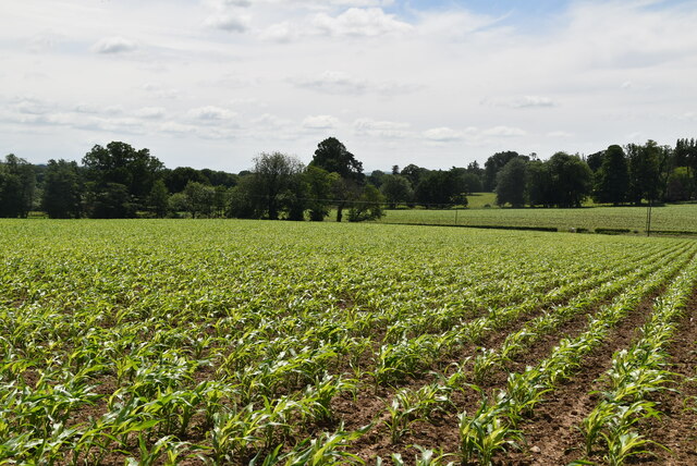
Bunce's Wood is a picturesque forest located in Sussex, England. With its lush greenery, diverse wildlife, and tranquil atmosphere, this wood is a beloved destination for nature enthusiasts and adventurers alike.

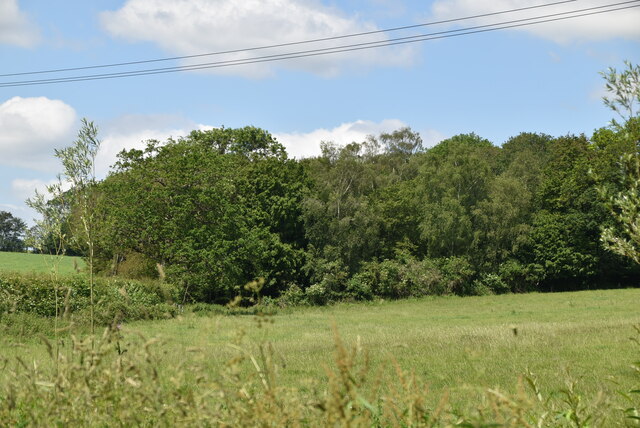
Covering an area of approximately 100 acres, Bunce's Wood offers visitors a chance to escape the hustle and bustle of city life and immerse themselves in the beauty of nature. The wood is characterized by its towering oak and beech trees, creating a dense canopy that provides shade on hot summer days. The forest floor is carpeted with a variety of flora, including bluebells, wild garlic, and ferns, creating a vibrant and enchanting landscape.

Wildlife thrives in Bunce's Wood, with sightings of deer, foxes, badgers, and a wide range of bird species. Nature enthusiasts can enjoy birdwatching or embark on a peaceful walk, listening to the melodious songs of birds echoing through the trees. The wood also has several ponds, which are home to frogs, newts, and other aquatic creatures.

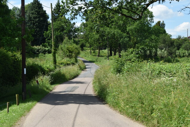
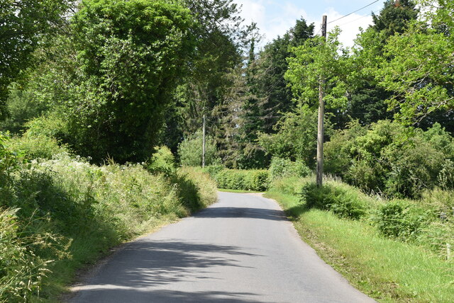
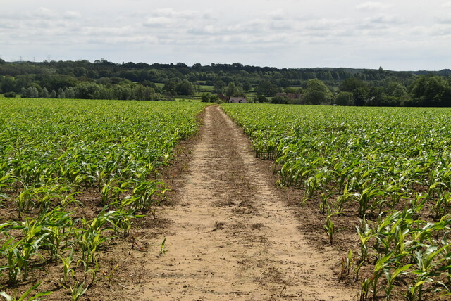
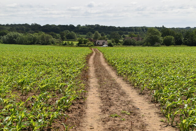
For those seeking outdoor activities, Bunce's Wood offers numerous walking trails, providing opportunities for hikers and cyclists to explore its natural wonders. The wood also has designated picnic areas where visitors can enjoy a leisurely lunch amidst the serene surroundings.

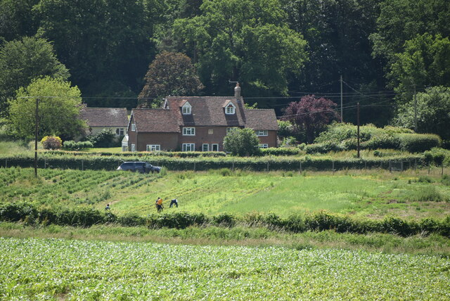
Bunce's Wood is not only a haven for nature lovers, but it also plays an important role in the ecosystem, providing a habitat for countless species and contributing to the overall biodiversity of Sussex. Whether one is seeking solitude, adventure, or simply a connection with nature, Bunce's Wood is a place that offers a truly remarkable experience.

If you have any feedback on the listing, please let us know in the comments section below.
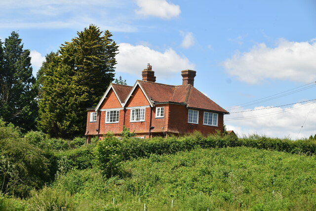
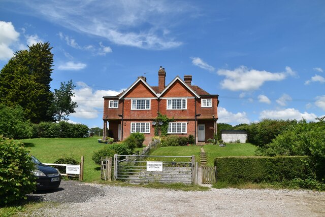
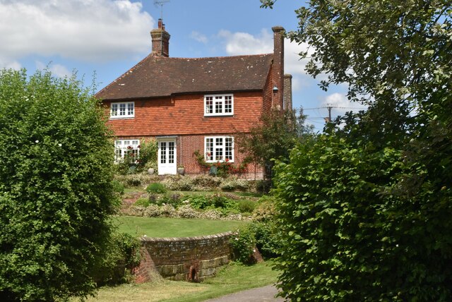
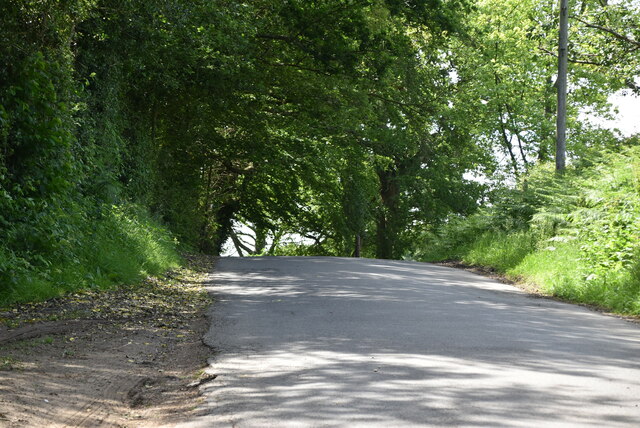
Bunce's Wood Images

Images are sourced within 2km of 50.958728/0.036919566 or Grid Reference TQ4319. Thanks to Geograph Open Source API. All images are credited.

Broomlye Oast
Broomlye Oast
Sharpbridge Lane
Sharpbridge Lane
Woodland
Woodland
Sharpbridge Lane
Sharpbridge Lane
Broomlye Cottage
Broomlye Cottage
Broomlye Cottage
Broomlye Cottage
Broomlye Listed buildings and structures are officially designated as being of special architectural, historical or cultural significance. There are over half a million listed structures in the United Kingdom, covered by around 375,000 listings.
Listed status is more commonly associated with buildings or groups of buildings, however it can cover many other structures, including bridges, headstones, steps, ponds, monuments, walls, phone boxes, wrecks, parks, and heritage sites, and in more recent times a road crossing (Abbey Road) and graffiti art (Banksy 'Spy-booth') have been included.

In England and Wales there are three main listing designations;
Grade I (2.5%) - exceptional interest, sometimes considered to be internationally important.
Grade II* (5.5%) - particularly important buildings of more than special interest. 
Grade II (92%) - nationally important and of special interest. 

There are also locally listed structures (at the discretion of local authorities) using A, B and C designations.

In Scotland three classifications are also used but the criteria are different. There are around 47,500 Listed buildings.
Category A (8%)- generally equivalent to Grade I and II* in England and Wales
Category B (51%)- this appears generally to cover the ground of Grade II, recognising national importance.
Category C (41%)- buildings of local importance, probably with some overlap with English Grade II.

In Northern Ireland the criteria are similar to Scotland, but the classifications are:
Grade A (2.3%)
Grade B+ (4.7%)
Grade B (93%)

Read more at Wikipedia <span class="nowrap"><a title="http://en.wikipedia.org/wiki/Listed_building" rel="nofollow ugc noopener" href="http://en.wikipedia.org/wiki/Listed_building">Link</a><img style="margin-left:2px;" alt="External link" title="External link - shift click to open in new window" src="https://s1.geograph.org.uk/img/external.png" width="10" height="10"/></span>
Broomlye
Listed buildings and structures are officially designated as being of special architectural, historical or cultural significance. There are over half a million listed structures in the United Kingdom, covered by around 375,000 listings. Listed status is more commonly associated with buildings or groups of buildings, however it can cover many other structures, including bridges, headstones, steps, ponds, monuments, walls, phone boxes, wrecks, parks, and heritage sites, and in more recent times a road crossing (Abbey Road) and graffiti art (Banksy 'Spy-booth') have been included. In England and Wales there are three main listing designations; Grade I (2.5%) - exceptional interest, sometimes considered to be internationally important. Grade II* (5.5%) - particularly important buildings of more than special interest. Grade II (92%) - nationally important and of special interest. There are also locally listed structures (at the discretion of local authorities) using A, B and C designations. In Scotland three classifications are also used but the criteria are different. There are around 47,500 Listed buildings. Category A (8%)- generally equivalent to Grade I and II* in England and Wales Category B (51%)- this appears generally to cover the ground of Grade II, recognising national importance. Category C (41%)- buildings of local importance, probably with some overlap with English Grade II. In Northern Ireland the criteria are similar to Scotland, but the classifications are: Grade A (2.3%) Grade B+ (4.7%) Grade B (93%) Read more at Wikipedia LinkExternal link
Sharpbridge Lane
Sharpbridge Lane
Sussex Ouse Valley Way Opened in 2005, the Sussex Ouse Valley Way is a beautiful 42 mile journey that broadly follows the River Ouse from its source close to Lower Beeding in the High Weald to the sea at Seaford Bay. It is signed using a picture of the Ouse Valley Viaduct. Website: <span class="nowrap"><a title="http://www.sussexousevalleyway.co.uk/index.htm" rel="nofollow ugc noopener" href="http://www.sussexousevalleyway.co.uk/index.htm">Link</a><img style="margin-left:2px;" alt="External link" title="External link - shift click to open in new window" src="https://s1.geograph.org.uk/img/external.png" width="10" height="10"/></span>
Sussex Ouse Valley Way
Opened in 2005, the Sussex Ouse Valley Way is a beautiful 42 mile journey that broadly follows the River Ouse from its source close to Lower Beeding in the High Weald to the sea at Seaford Bay. It is signed using a picture of the Ouse Valley Viaduct. Website: LinkExternal link
Gipp's Farm
Gipp's Farm
Rural cottage
Rural cottage
Young maize
Young maize
Bunce's Farm
Bunce's Farm
Sussex Ouse Valley Way Opened in 2005, the Sussex Ouse Valley Way is a beautiful 42 mile journey that broadly follows the River Ouse from its source close to Lower Beeding in the High Weald to the sea at Seaford Bay. It is signed using a picture of the Ouse Valley Viaduct. Website: <span class="nowrap"><a title="http://www.sussexousevalleyway.co.uk/index.htm" rel="nofollow ugc noopener" href="http://www.sussexousevalleyway.co.uk/index.htm">Link</a><img style="margin-left:2px;" alt="External link" title="External link - shift click to open in new window" src="https://s1.geograph.org.uk/img/external.png" width="10" height="10"/></span>
Sussex Ouse Valley Way
Opened in 2005, the Sussex Ouse Valley Way is a beautiful 42 mile journey that broadly follows the River Ouse from its source close to Lower Beeding in the High Weald to the sea at Seaford Bay. It is signed using a picture of the Ouse Valley Viaduct. Website: LinkExternal link
Maize Maize is a cereal crop, indigenous to the Americas. In Britain it is usually called corn. <span class="nowrap"><a title="http://en.wikipedia.org/wiki/Maize" rel="nofollow ugc noopener" href="http://en.wikipedia.org/wiki/Maize">Link</a><img style="margin-left:2px;" alt="External link" title="External link - shift click to open in new window" src="https://s1.geograph.org.uk/img/external.png" width="10" height="10"/></span>
Maize
Maize is a cereal crop, indigenous to the Americas. In Britain it is usually called corn. LinkExternal link
Sussex Ouse Valley Way Opened in 2005, the Sussex Ouse Valley Way is a beautiful 42 mile journey that broadly follows the River Ouse from its source close to Lower Beeding in the High Weald to the sea at Seaford Bay. It is signed using a picture of the Ouse Valley Viaduct. Website: <span class="nowrap"><a title="http://www.sussexousevalleyway.co.uk/index.htm" rel="nofollow ugc noopener" href="http://www.sussexousevalleyway.co.uk/index.htm">Link</a><img style="margin-left:2px;" alt="External link" title="External link - shift click to open in new window" src="https://s1.geograph.org.uk/img/external.png" width="10" height="10"/></span>
Sussex Ouse Valley Way
Opened in 2005, the Sussex Ouse Valley Way is a beautiful 42 mile journey that broadly follows the River Ouse from its source close to Lower Beeding in the High Weald to the sea at Seaford Bay. It is signed using a picture of the Ouse Valley Viaduct. Website: LinkExternal link
Woodland in maize
Woodland in maize
Maize Maize is a cereal crop, indigenous to the Americas. In Britain it is usually called corn. <span class="nowrap"><a title="http://en.wikipedia.org/wiki/Maize" rel="nofollow ugc noopener" href="http://en.wikipedia.org/wiki/Maize">Link</a><img style="margin-left:2px;" alt="External link" title="External link - shift click to open in new window" src="https://s1.geograph.org.uk/img/external.png" width="10" height="10"/></span>
Maize
Maize is a cereal crop, indigenous to the Americas. In Britain it is usually called corn. LinkExternal link
Show me another place!

Bunce's Wood is located at Grid Ref: TQ4319 (Lat: 50.958728, Lng: 0.036919566)

Administrative County: East Sussex

District: Lewes

Police Authority: Sussex

What 3 Words

///makes.tenses.decking. Near Newick, East Sussex

Related Wikis

River Uck

The River Uck is a river in East Sussex, United Kingdom, which drains a catchment starting near Crowborough in the North, Hadlow Down to the East and Laughton...

Zion Chapel, Newick

Zion Chapel is a former Strict Baptist place of worship in the village of Newick in Lewes District, one of six local government districts in the English...

Newick

Newick is a village, civil parish and electoral ward in the Lewes District of East Sussex, England. It is located on the A272 road six miles (9.7 km) east...

Piltdown

Piltdown is a series of hamlets in East Sussex, England, located south of Ashdown Forest. It is best known for the Piltdown Man hoax where amateur archaeologist...

Isfield railway station

Isfield is a preserved railway station on the closed section of the Wealden Line which served the East Sussex village of Isfield near Uckfield. Originally...

Lavender Line

The Lavender Line is a heritage railway based at Isfield Station, near Uckfield in East Sussex, England. == History == The Lavender Line was originally...

Chailey

Chailey is a village and civil parish in the Lewes District of East Sussex, England. It is located 7 miles north of Lewes, on the A272 road from Winchester...

Newick and Chailey railway station

Newick and Chailey was a railway station located in North Chailey and located near the villages of Newick and Chailey in East Sussex, England. It was part...

Nearby Amenities

Located within 500m of 50.958728,0.036919566
Give Way
Lat/Long: 50.9555055/0.0363198
Give Way
Lat/Long: 50.9554726/0.0364873
Barrier: stile
Lat/Long: 50.9584457/0.0334628
Barrier: stile
Lat/Long: 50.9598497/0.030814
Barrier: stile
Lat/Long: 50.9582033/0.0362339
Barrier: stile
Stile: squeezer
Lat/Long: 50.9590502/0.0335914
Post Box
Collection Times: Mo-Fr 09:00, Sa 07:00
Operator: Royal Mail
Post Box Type: lamp
Ref: BN8 492
Royal Cypher: EIIR
Royal Cypher Wikidata: Q33102113
Lat/Long: 50.9555449/0.0365426
Barrier: stile
Lat/Long: 50.9599342/0.0306796
Material: wood
Power: pole
Lat/Long: 50.9544569/0.0366054
Material: wood
Power: pole
Lat/Long: 50.9546495/0.0377266
Power: pole
Lat/Long: 50.9550652/0.0401996
Power: pole
Lat/Long: 50.9548168/0.0386707
The data included in this document is from www.openstreetmap.org. The data is made available under ODbL.

Have you been to Bunce's Wood?

Leave your review of Bunce's Wood below (or comments, questions and feedback).