Castlewood
Wood, Forest in Kent
England
Castlewood

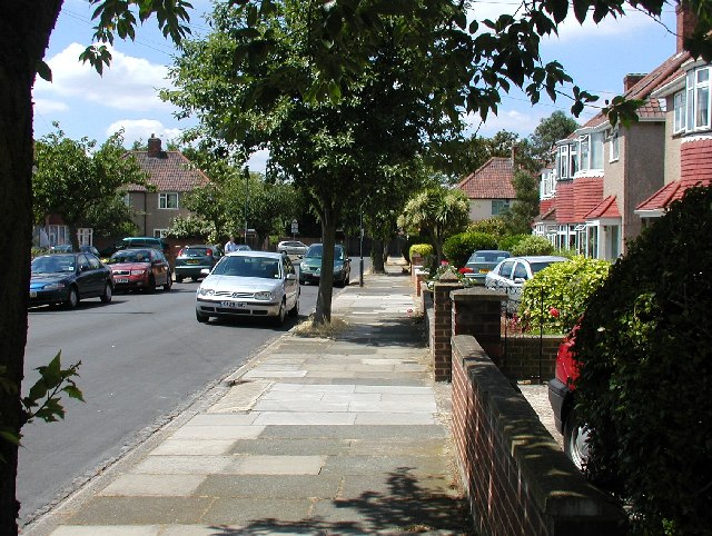
Castlewood is a picturesque village located in the county of Kent, England. Nestled amidst a dense woodland, it is aptly named for its proximity to an ancient castle ruin. The village is known for its stunning natural beauty and tranquil atmosphere, attracting both locals and tourists seeking a peaceful retreat.
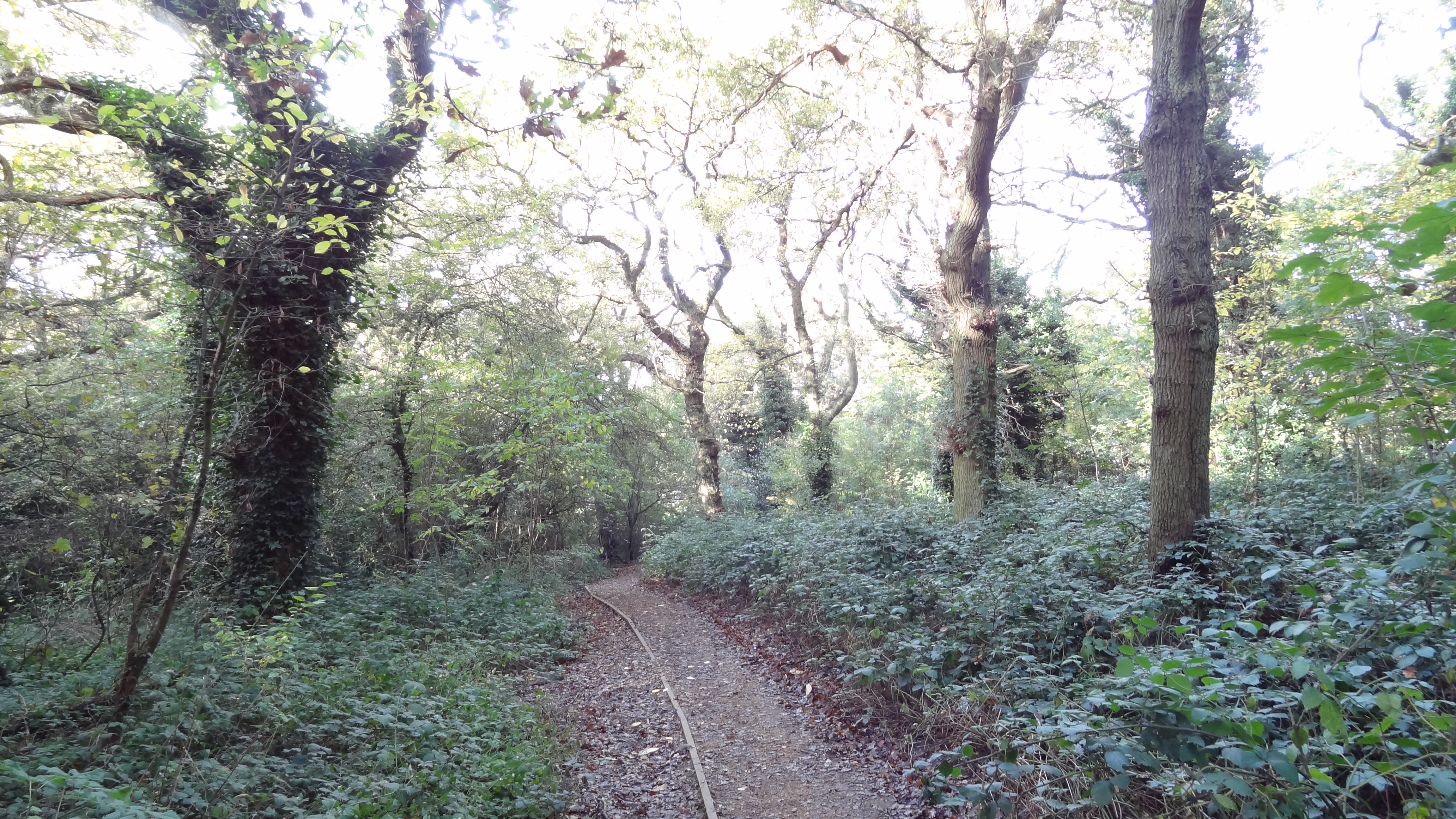
The village of Castlewood is surrounded by a lush forest that offers a myriad of outdoor activities for nature enthusiasts. Visitors can indulge in leisurely walks along the well-marked trails, enjoying the sights and sounds of the abundant wildlife. The forest is particularly renowned for its diverse bird population, making it a popular spot for birdwatchers.
The centerpiece of the village is the historic castle ruin, which dates back to the medieval era. Though now in a state of disrepair, the remnants of the castle still evoke a sense of awe and curiosity. The ruins are a fascinating sight for history buffs, who can imagine the castle's former grandeur and its significance in the region's past.
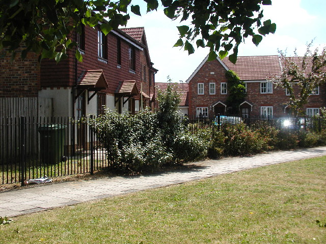
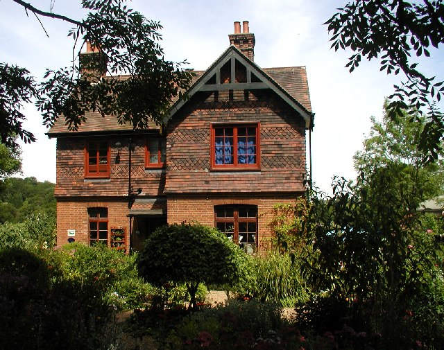
Castlewood is also home to a tight-knit community of residents who take pride in preserving the village's unique charm. The village boasts a few traditional cottages and houses, adding to its quaint and idyllic ambiance. The locals are known for their hospitality, often welcoming visitors with warm smiles and engaging conversations.
In terms of amenities, Castlewood offers a few local shops and a cozy pub where locals and visitors can unwind and socialize. The village also hosts an annual summer fair, attracting a diverse crowd from neighboring towns and villages.
Overall, Castlewood is a hidden gem in the heart of Kent. With its enchanting forest, historic castle ruins, and welcoming community, it is a destination that captivates the senses and offers a serene escape from the hustle and bustle of modern life.
If you have any feedback on the listing, please let us know in the comments section below.
Castlewood Images
Images are sourced within 2km of 51.466218/0.059094692 or Grid Reference TQ4376. Thanks to Geograph Open Source API. All images are credited.


Castlewood is located at Grid Ref: TQ4376 (Lat: 51.466218, Lng: 0.059094692)
Unitary Authority: Greenwich
Police Authority: Metropolitan
What 3 Words
///march.basis.lots. Near Woolwich, London
Nearby Locations
Related Wikis
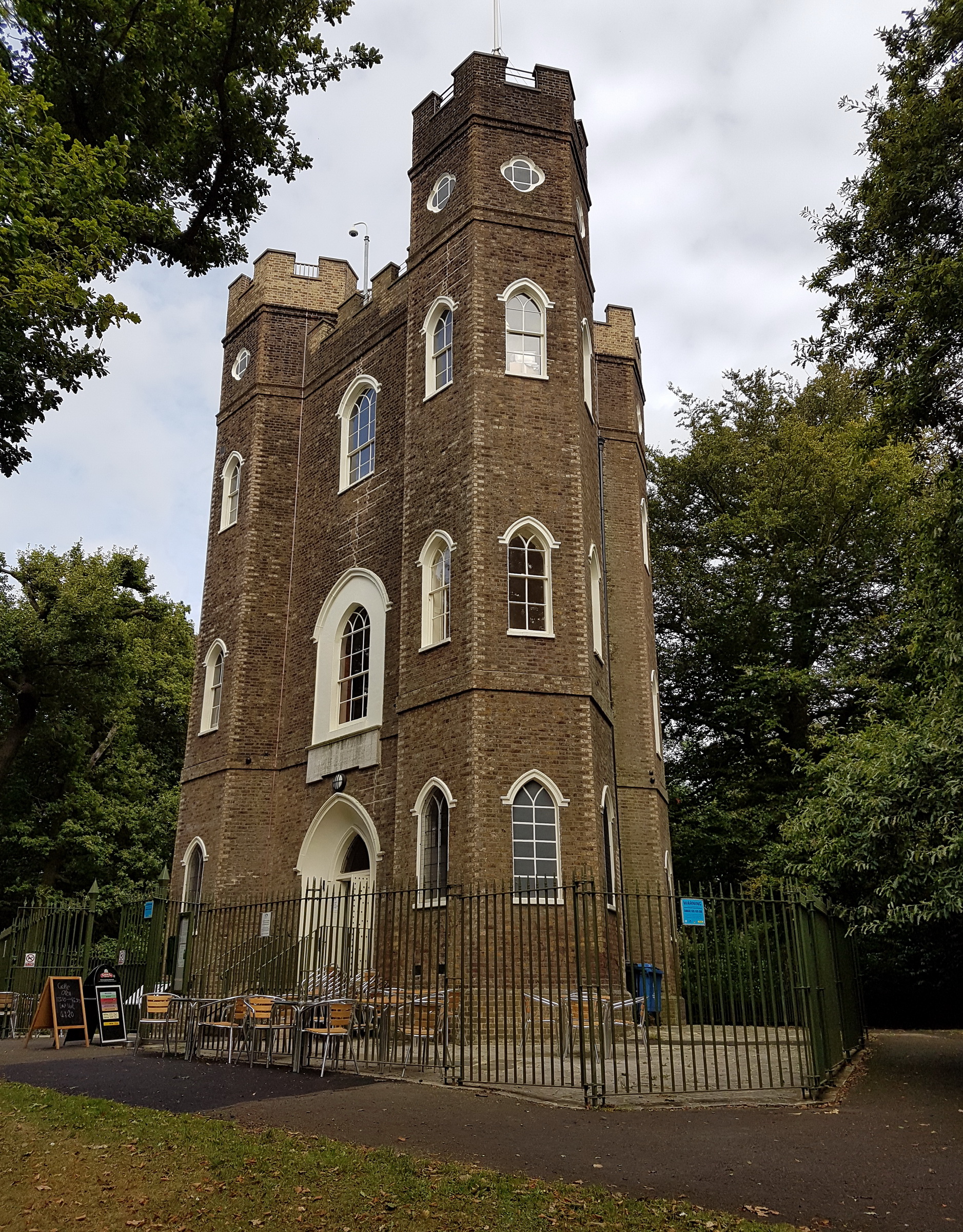
Severndroog Castle
Severndroog Castle is a folly designed by architect Richard Jupp, with the first stone laid on 2 April 1784. While commonly referred to as a castle due...
Eltham Common
Eltham Common is a park and area of common land in the Royal Borough of Greenwich in south-east London. Forming an approximate triangle between Well Hall...
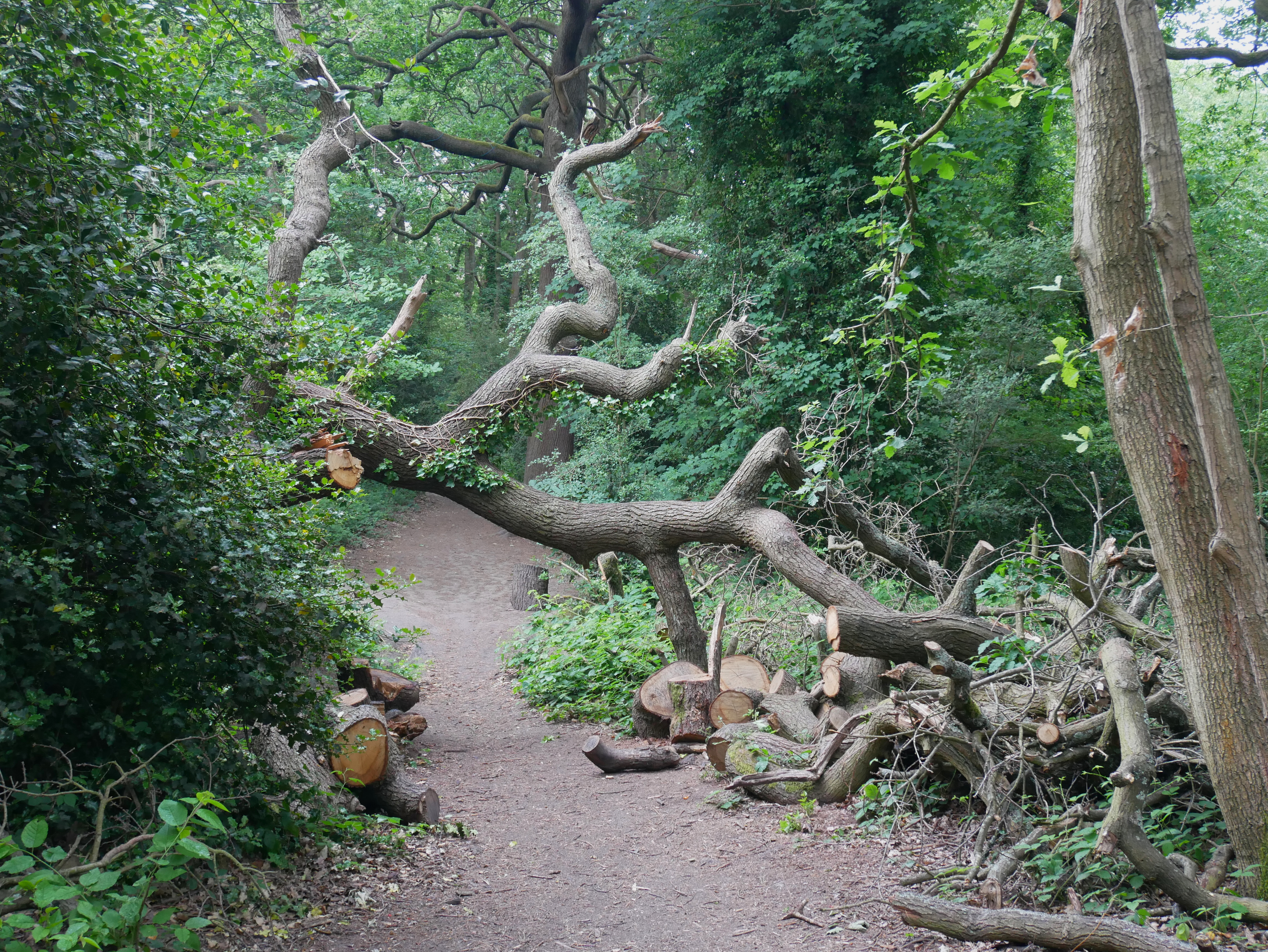
Oxleas Wood
Oxleas Wood is one of the few remaining areas of ancient deciduous forest in Eltham in the Royal Borough of Greenwich (with a small amount passing over...
Greenwich Cemetery
Greenwich Cemetery (also known as Shooters Hill Cemetery) is a cemetery in the Royal Borough of Greenwich in southeast London. It is situated on the southwestern...
Nearby Amenities
Located within 500m of 51.466218,0.059094692Have you been to Castlewood?
Leave your review of Castlewood below (or comments, questions and feedback).