Smaley Wood

Wood, Forest in Hertfordshire East Hertfordshire

England

Smaley Wood

View of fields on the edge of Meesden View of fields on the edge of Meesden, looking north towards Scales Park.
View of fields on the edge of Meesden Credit: Simon Judd

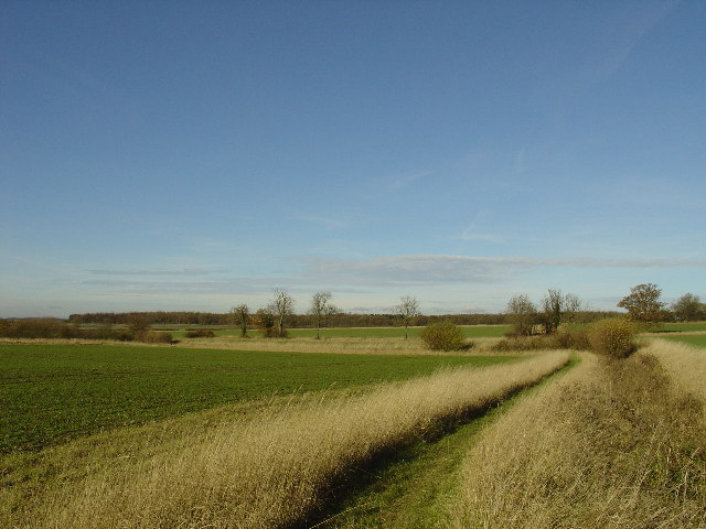
Smaley Wood is a picturesque forest located in Hertfordshire, England. Covering an area of approximately 50 acres, this woodland is known for its natural beauty and tranquil atmosphere. It is situated near the village of Smaley, which is known for its charming countryside.

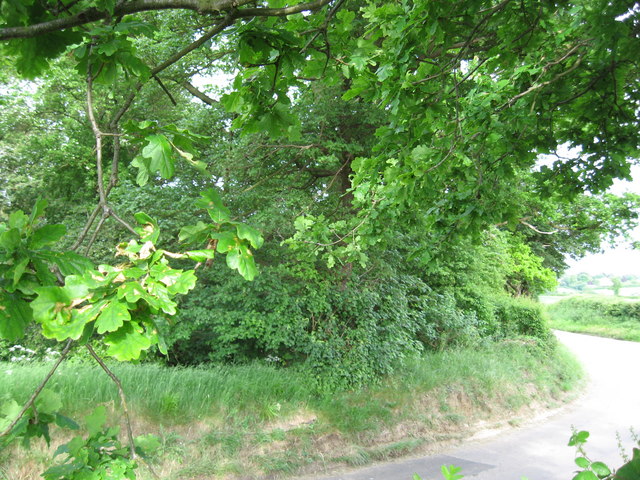
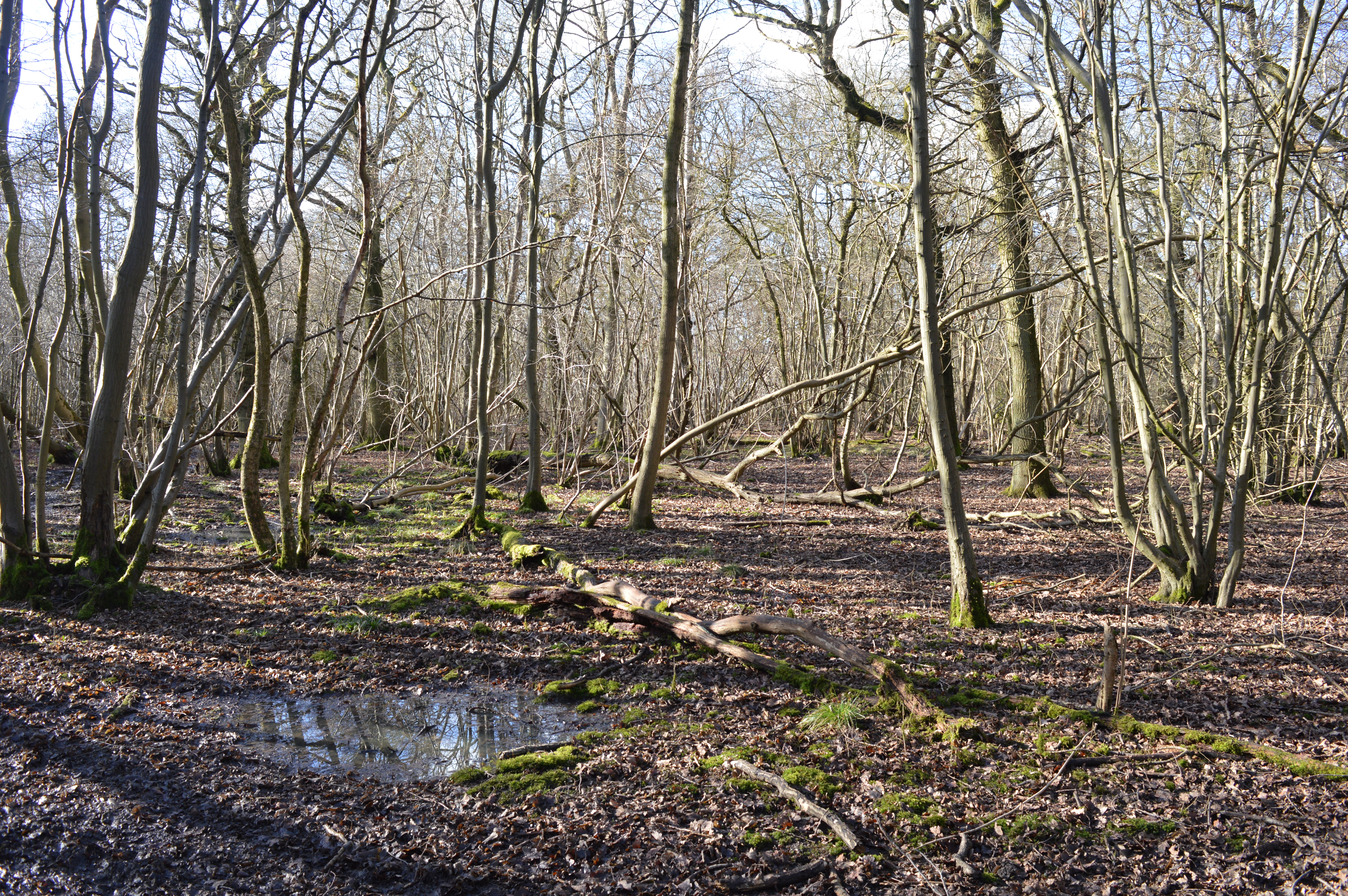
The wood is predominantly made up of broadleaf trees, such as oak, beech, and ash, which provide a dense canopy of foliage, allowing only dappled sunlight to filter through. This creates a cool and refreshing environment, perfect for nature enthusiasts and hikers seeking respite from the bustling city life.

The forest is home to a diverse range of flora and fauna. Bluebells carpet the forest floor in spring, creating a breathtaking display of color. It is also a haven for birdwatchers, as numerous species of birds, including woodpeckers and owls, can be spotted in the area.

Several well-marked trails wind their way through Smaley Wood, offering visitors the opportunity to explore its natural wonders. These paths lead to hidden glades, babbling brooks, and secluded picnic spots, allowing visitors to immerse themselves in the tranquility of the forest.

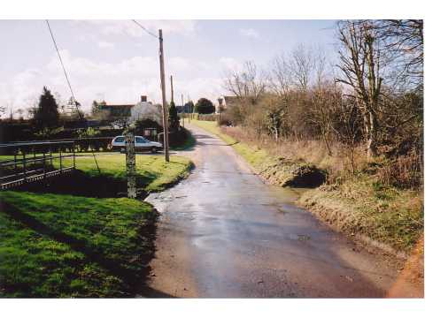
Smaley Wood is a popular destination for families, nature lovers, and photographers alike. Its accessibility and beauty make it an ideal location for a leisurely stroll, a picnic, or simply a place to unwind and connect with nature. This hidden gem in Hertfordshire offers a peaceful and enchanting experience for those seeking solace in the great outdoors.

If you have any feedback on the listing, please let us know in the comments section below.
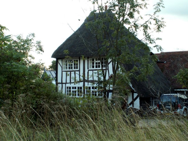
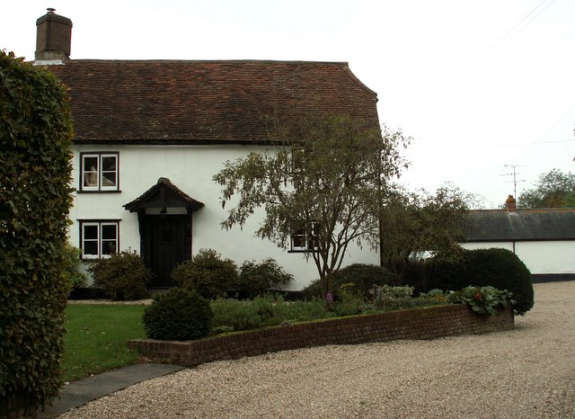
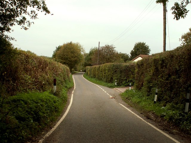
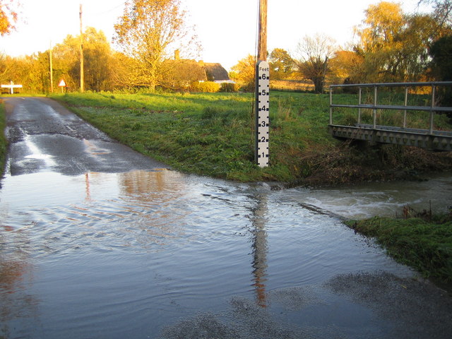
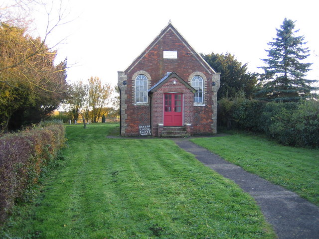
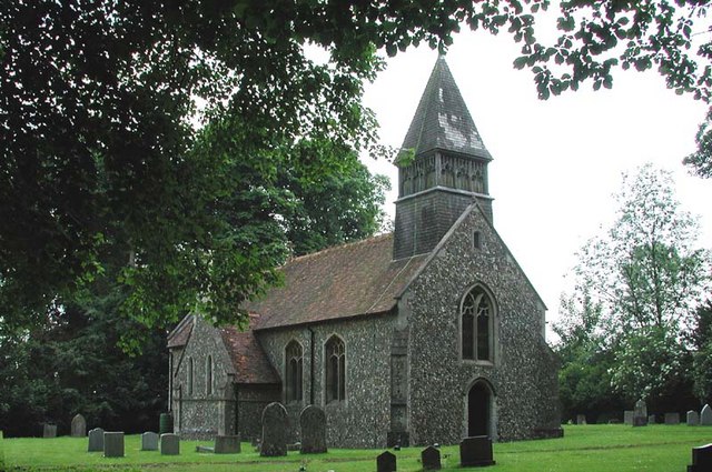
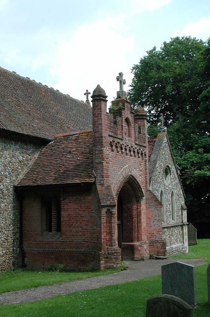
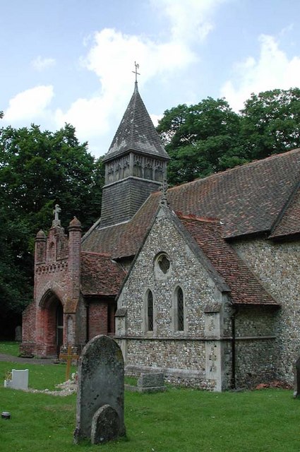
Smaley Wood Images

Images are sourced within 2km of 51.975995/0.080393335 or Grid Reference TL4232. Thanks to Geograph Open Source API. All images are credited.

View of fields on the edge of Meesden View of fields on the edge of Meesden, looking north towards Scales Park.
View of fields on the edge of Meesden
View of fields on the edge of Meesden, looking north towards Scales Park.
Scales Park View along one of the access roads that run through what remains of Scales Park. The majority of the trees were felled to create the US Airforce Station 131 during the Second World War.
Scales Park
View along one of the access roads that run through what remains of Scales Park. The majority of the trees were felled to create the US Airforce Station 131 during the Second World War.
A lone tree A lone tree standing in farmland just north of Meesden.
A lone tree
A lone tree standing in farmland just north of Meesden.
Ford, Langley Lower Green Culverted ford, usually dry.
Ford, Langley Lower Green
Culverted ford, usually dry.
'Black Horse' inn, Brent Pelham, Herts.
Rectory Farm, Meesden, Herts.
Thatched cottage at Meesden, Herts.
Farmhouse at Further Ford End, Essex The name of the farm is not known.
Farmhouse at Further Ford End, Essex
The name of the farm is not known.
Country road on the way to Lower Green
River Stort in Lower Green, Langley This is the ford across the River Stort on the road known as Waterwick Hill in Lower Green, and, compared with Andrew's photo <a href="https://www.geograph.org.uk/photo/58589">TL4334 : Ford, Langley Lower Green</a>, the river certainly has a lot of water flowing in it. The extent of the recent inundation can be seen from the flood trash line on the road on the far side of the ford.
River Stort in Lower Green, Langley
This is the ford across the River Stort on the road known as Waterwick Hill in Lower Green, and, compared with Andrew's photo TL4334 : Ford, Langley Lower Green, the river certainly has a lot of water flowing in it. The extent of the recent inundation can be seen from the flood trash line on the road on the far side of the ford.
Lower Green: Methodist Chapel This is the Primitive Methodist Chapel in Waterwick Hill, Lower Green. The inscription on the stone in the gable end reads "Erected 1862, Enlarged 1871". Behind the Chapel is a graveyard.
Lower Green: Methodist Chapel
This is the Primitive Methodist Chapel in Waterwick Hill, Lower Green. The inscription on the stone in the gable end reads "Erected 1862, Enlarged 1871". Behind the Chapel is a graveyard.
S Mary, Meesden, Herts
St Mary, Meesden, Herts - Porch
St Mary, Meesden, Herts
St Mary, Meesden, Herts - Font
St Mary, Meesden, Herts - East end
Mill mound near Coles Green Marked as a 'Mill Mound' on the OS map, the mound is now completely covered by trees.
Mill mound near Coles Green
Marked as a 'Mill Mound' on the OS map, the mound is now completely covered by trees.
Pond at Meesden Lower Green The pond is completely surrounded by thick undergrowth and I very nearly fell in trying to get this shot.
Pond at Meesden Lower Green
The pond is completely surrounded by thick undergrowth and I very nearly fell in trying to get this shot.
Show me another place!

Smaley Wood is located at Grid Ref: TL4232 (Lat: 51.975995, Lng: 0.080393335)

Administrative County: Hertfordshire

District: East Hertfordshire

Police Authority: Hertfordshire

What 3 Words

///disband.rashers.magazines. Near Buntingford, Hertfordshire

Nearby Locations

Smaley Wood Ladylike Grove

Related Wikis

Brent Pelham Windmill

Brent Pelham Windmill is a Grade II listed smock mill at Brent Pelham, Hertfordshire, England which is derelict. == History == Brent Pelham Mill was built...

Meesden

Meesden is a village and civil parish of the East Hertfordshire district of Hertfordshire, England. Nearby settlements include Anstey and Brent Pelham...

Brent Pelham

Brent Pelham is a village and civil parish in the East Hertfordshire district, in the county of Hertfordshire, England, and situated approximately 5 miles...

Anstey, Hertfordshire

Anstey is a village and civil parish in the East Hertfordshire district of Hertfordshire, England, about 15 miles (24 km) northeast of Stevenage. According...

Anstey Castle

Anstey Castle was in the village of Anstey, Hertfordshire. It was a 12th-century stone motte and bailey fortress that, according to tradition, was founded...

Langley, Essex

For the historic house in Essex called Langley's, see Great Waltham. Langley is a village and civil parish near Clavering in the English county of Essex...

Nuthampstead

Nuthampstead is a small village and civil parish in North East Hertfordshire located a few miles south of the town of Royston. In the 2001 census the parish...

Great Hormead Park

Great Hormead Park is a 15 hectare biological Site of Special Scientific Interest near Great Hormead in Hertfordshire. The local planning authority is...

Nearby Amenities

Located within 500m of 51.975995,0.080393335
Rose Cottages
Naptan AtcoCode: 210021302849
Naptan Bearing: E
Naptan BusStopType: CUS
Naptan CommonName: Rose Cottages
Naptan Crossing: The Fox PH
Naptan Indicator: opp
Naptan Landmark: The Fox PH
Naptan NaptanCode: hrtdtpga
Naptan ShortCommonName: NA
Naptan Street: Mill Lane
Naptan Verified: no
Public Transport: platform
Source: naptan_import
Lat/Long: 51.9721736/0.0804616
Elm Cottages
Naptan AtcoCode: 210021302850
Naptan Bearing: SE
Naptan BusStopType: CUS
Naptan CommonName: Elm Cottages
Naptan Crossing: Jubilee Cottages
Naptan Indicator: adj
Naptan Landmark: Jubilee Cottages
Naptan NaptanCode: hrtdtpgd
Naptan ShortCommonName: NA
Naptan Street: Mill Lane
Naptan Verified: no
Public Transport: platform
Source: naptan_import
Lat/Long: 51.9745605/0.0746315
Bus Stop
Rose Cottages
Bench: no
Bin: no
Bus: yes
Lit: no
Naptan AtcoCode: 210021310109
Naptan Bearing: W
Naptan CommonName: Rose Cottages
Naptan Crossing: The Fox PH
Naptan Indicator: o/s
Naptan Landmark: The Fox PH
Naptan NaptanCode: hrtdpgmg
Naptan ShortCommonName: NA
Naptan Street: Mill Lane
Naptan Verified: no
Public Transport: platform
Shelter: no
Source: naptan_import
Tactile Paving: no
Lat/Long: 51.9720652/0.0804857
Elm Cottages
Naptan AtcoCode: 210021310110
Naptan Bearing: NW
Naptan BusStopType: CUS
Naptan CommonName: Elm Cottages
Naptan Crossing: Walkers Farmhouse
Naptan Indicator: opp
Naptan Landmark: Walkers Farmhouse
Naptan NaptanCode: hrtdpgad
Naptan ShortCommonName: NA
Naptan Street: Mill Lane
Naptan Verified: no
Public Transport: platform
Source: naptan_import
Lat/Long: 51.9745816/0.0744577
Barrier: kissing_gate
Lat/Long: 51.9738717/0.0813843
Telephone
Defibrillator
Booth: K6
Covered: booth
Defibrillator Location: inside old red phone box on Meesden village green
Emergency: defibrillator
Listed Status: Grade II
Man Made: telephone_box
Lat/Long: 51.9720463/0.079705
Post Box
Post Box Type: lamp
Royal Cypher: EIIR
Royal Cypher Wikidata: Q33102113
Lat/Long: 51.9721046/0.0796809
Advertising: board
Direction: -190
Lat/Long: 51.9721864/0.080714
Man Made: water_tower
Lat/Long: 51.9725136/0.0820553
Historic: water_pump
Lat/Long: 51.9723654/0.0785684
The data included in this document is from www.openstreetmap.org. The data is made available under ODbL.

Have you been to Smaley Wood?

Leave your review of Smaley Wood below (or comments, questions and feedback).