Twelve Acre Plantation

Wood, Forest in Lincolnshire East Lindsey

England

Twelve Acre Plantation

Ridge and furrow north of Skendleby: aerial 2023 (1)
Ridge and furrow north of Skendleby: aerial 2023 (1) Credit: Chris

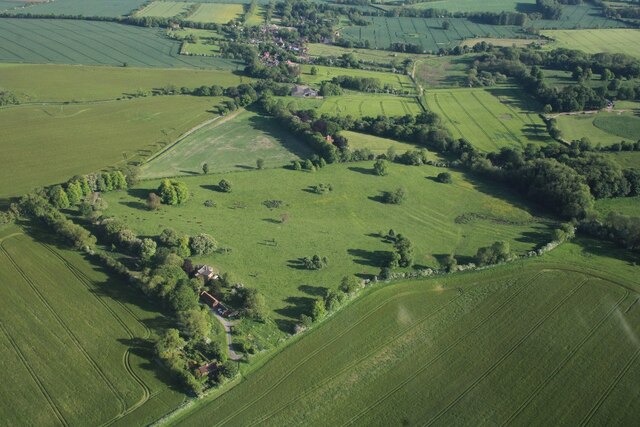
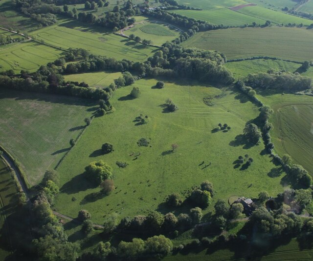
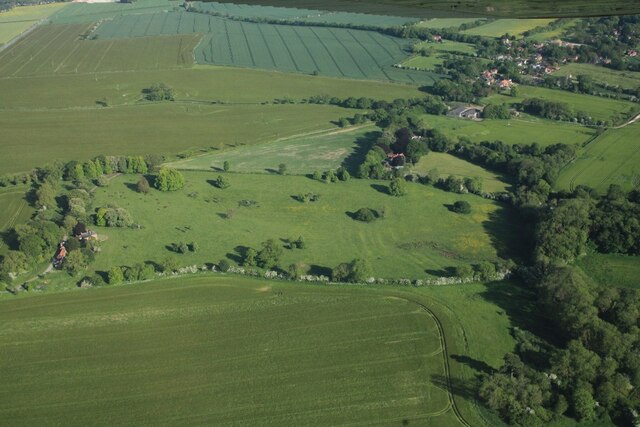
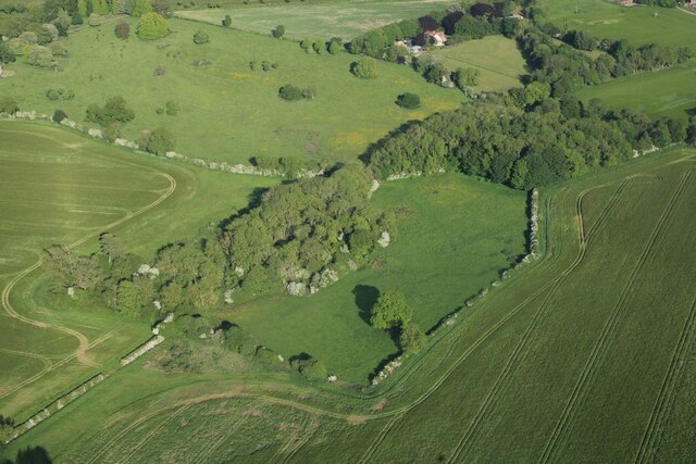
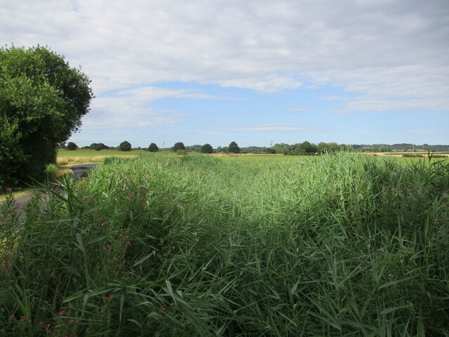
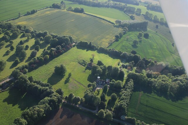
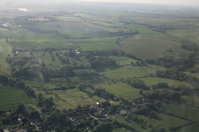
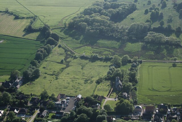
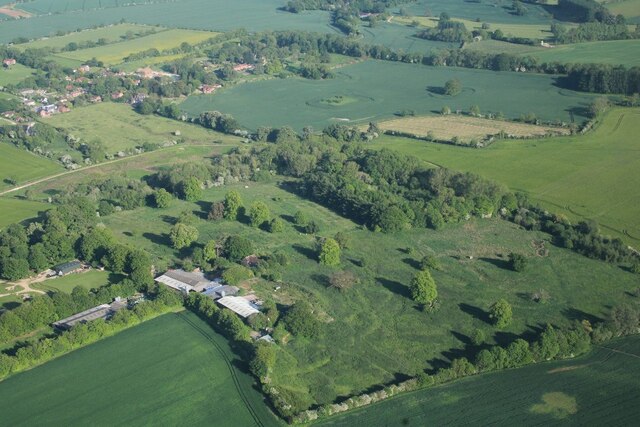
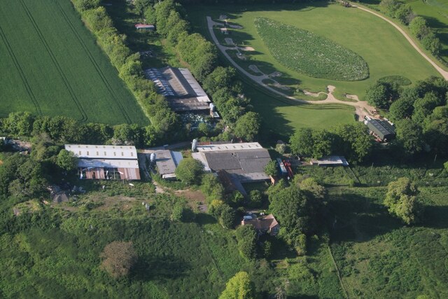
Twelve Acre Plantation, located in Lincolnshire, is a magnificent woodland area covering approximately twelve acres. Situated in a rural setting, it offers visitors a serene and peaceful retreat from the hustle and bustle of daily life. The plantation is known for its lush greenery, tall and majestic trees, and diverse flora and fauna.

The woodland is home to a variety of tree species, including oak, beech, ash, and birch, which create a vibrant and enchanting landscape. The canopy of the trees provides shade and shelter, making it a popular spot for picnics, walks, and nature enthusiasts.

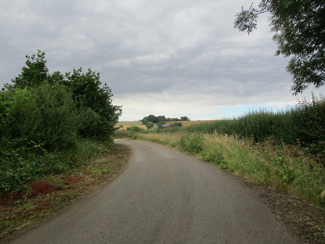
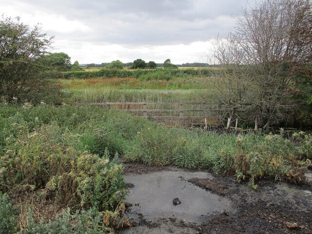
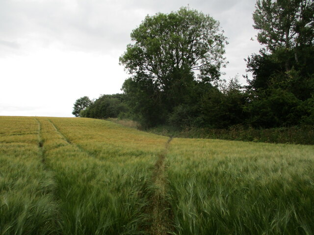
The plantation boasts several well-maintained walking trails, allowing visitors to explore the area at their own pace. These trails lead through dense forests, open meadows, and alongside a gently flowing stream, offering a picturesque view of the surrounding countryside. The plantation is also home to a small lake, adding to the beauty and tranquility of the area.

Wildlife thrives within Twelve Acre Plantation, with an array of animals and birds calling it their home. Visitors may spot squirrels, rabbits, deer, and various bird species, making it a haven for wildlife enthusiasts and photographers.

The plantation is open to the public throughout the year, offering a range of recreational activities such as hiking, birdwatching, and nature photography. It also hosts educational programs for schools and organizations, providing an opportunity to learn about the local ecosystem and conservation efforts.

Overall, Twelve Acre Plantation in Lincolnshire is a captivating woodland area that offers a perfect blend of natural beauty, tranquility, and recreational opportunities for visitors of all ages.

If you have any feedback on the listing, please let us know in the comments section below.

Twelve Acre Plantation Images

Images are sourced within 2km of 53.196776/0.13433201 or Grid Reference TF4268. Thanks to Geograph Open Source API. All images are credited.

Ridge and furrow north of Skendleby: aerial 2023 (1)
Ridge and furrow north of Skendleby: aerial 2023 (2)
Ridge and furrow north of Skendleby: aerial 2023 (3)
Fields north of Skendleby: aerial 2023
Grass field near Ashby by Partney
Reed choked drain near Ashby by Partney
The former route of the A16 Partney was bypassed in 2005 and this short section of road became redundant except for farm access.
The former route of the A16
Partney was bypassed in 2005 and this short section of road became redundant except for farm access.
Looking across the A16 near Partney
Footpath crossing the corner of a barley field, Partney Most users seem to follow the edge of the field but someone has determinedly cut the corner (and thus follow the legal course of the path) even though the barley was clearly not much less high than it is now.
Footpath crossing the corner of a barley field, Partney
Most users seem to follow the edge of the field but someone has determinedly cut the corner (and thus follow the legal course of the path) even though the barley was clearly not much less high than it is now.
Tractor tracks in a wheat field near Partney
Grebby Windmill: aerial 2023 See: <span class="nowrap"><a title="https://www.heritagegateway.org.uk/Gateway/Results_Single.aspx?uid=MLI42049&resourceID=1006" rel="nofollow ugc noopener" href="https://www.heritagegateway.org.uk/Gateway/Results_Single.aspx?uid=MLI42049&resourceID=1006">Link</a><img style="margin-left:2px;" alt="External link" title="External link - shift click to open in new window" src="https://s1.geograph.org.uk/img/external.png" width="10" height="10"/></span>
Grebby Windmill: aerial 2023
See: LinkExternal link
Earthworks at Skendleby: aerial 2023 (1)
Earthworks at Skendleby: aerial 2023 (2)
Thorpe Farm, Skendleby: aerial 2023 (1)
Thorpe Farm, Skendleby: aerial 2023 (2)
Thorpe Farm, Skendleby: aerial 2023 (3)
Earthworks at Skendleby: aerial 2023 (1)
Earthworks at Skendleby: aerial 2023 (2)
Show me another place!

Twelve Acre Plantation is located at Grid Ref: TF4268 (Lat: 53.196776, Lng: 0.13433201)

Administrative County: Lincolnshire

District: East Lindsey

Police Authority: Lincolnshire

What 3 Words

///bypassed.prop.robe. Near Spilsby, Lincolnshire

Related Wikis

Skendleby Priory

Skendleby Priory was a priory in the village of Skendleby, Lincolnshire, England. The believed remains of St James Chapel, Skendleby Priory, were uncovered...

Skendleby

Skendleby is a small village and civil parish in the East Lindsey district of Lincolnshire, England. It is situated near to the A158 and lies 35 miles...

Partney

Partney is a small village and civil parish in the East Lindsey district of Lincolnshire, England. It is situated 3 miles (4.8 km) north of Spilsby, and...

Scremby

Scremby is a village in the civil parish of Ashby with Scremby, in the East Lindsey district of Lincolnshire, England. It is situated about 4 miles (6...

Nearby Amenities

Located within 500m of 53.196776,0.13433201
Power: pole
Lat/Long: 53.1936134/0.1338556
Power: pole
Lat/Long: 53.1951472/0.1352702
Power: pole
Lat/Long: 53.1965934/0.1366207
Power: pole
Lat/Long: 53.197522/0.1390806
Shepherd's Yard
Historic Place: farm
Source: Bing
Lat/Long: 53.1977372/0.1411489
Skendleby Priory
Historic: archaeological_site
Source: https://en.wikipedia.org/wiki/List_of_monastic_houses_in_Lincolnshire
Lat/Long: 53.1986265/0.1389001
The data included in this document is from www.openstreetmap.org. The data is made available under ODbL.

Have you been to Twelve Acre Plantation?

Leave your review of Twelve Acre Plantation below (or comments, questions and feedback).