Rigsby Wood

Wood, Forest in Lincolnshire East Lindsey

England

Rigsby Wood

Cropmarks in a field at Ailby: aerial 2021
Cropmarks in a field at Ailby: aerial 2021 Credit: Simon Tomson

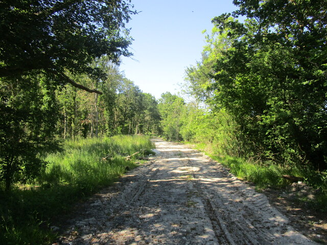
Rigsby Wood is a picturesque forest located in the county of Lincolnshire, England. Covering an area of approximately 40 acres, this woodland is a haven for nature enthusiasts and those seeking a peaceful escape from the hustle and bustle of everyday life.

The wood is predominantly made up of deciduous trees, including oak, ash, and beech, which create a vibrant and ever-changing landscape throughout the seasons. In spring, the forest floor is adorned with a carpet of bluebells, while in autumn, the foliage transforms into a riot of warm hues, providing a breathtaking display of colors.

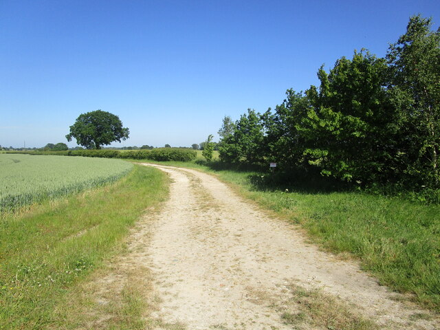
A well-maintained network of footpaths and trails winds through the woodland, allowing visitors to explore its beauty at their own pace. The paths meander through ancient trees, moss-covered rocks, and tranquil streams, creating a serene ambiance that is perfect for leisurely walks or peaceful contemplation.

Rigsby Wood is also home to a diverse range of wildlife. Birdsong fills the air as numerous species, including woodpeckers, thrushes, and warblers, make their homes in the forest. Squirrels can often be spotted darting through the treetops, while rabbits and deer roam freely through the undergrowth.

The wood is managed by a local conservation group, who work diligently to maintain its natural beauty and protect the fragile ecosystem. They organize regular educational events and guided walks, offering visitors the opportunity to learn more about the flora and fauna that call Rigsby Wood their home.

Overall, Rigsby Wood is a natural gem in Lincolnshire, providing a tranquil retreat for those seeking solace in nature and a fascinating habitat for a wide variety of wildlife.

If you have any feedback on the listing, please let us know in the comments section below.
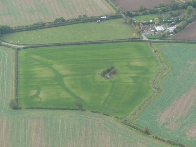
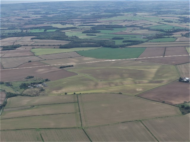
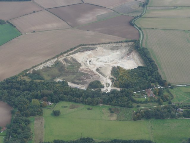
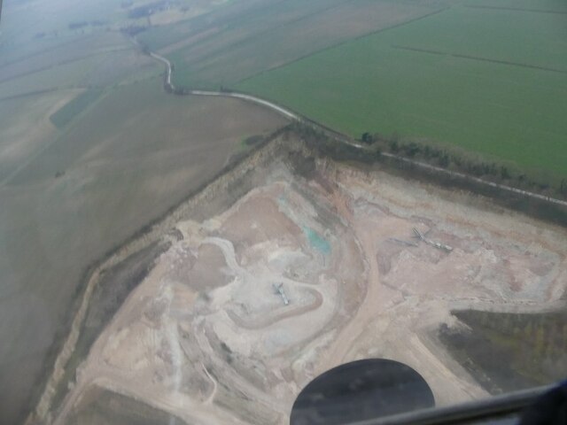
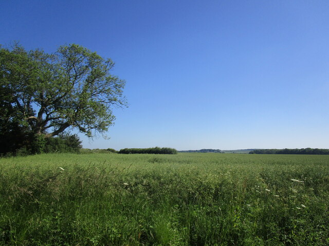
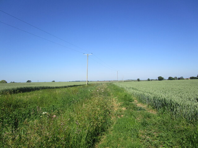
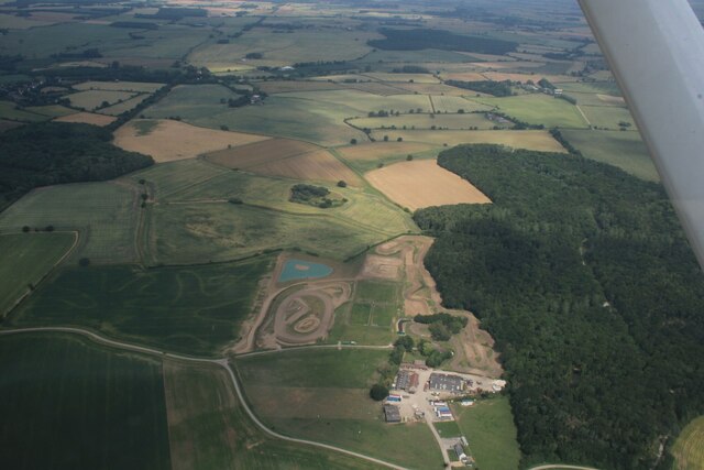
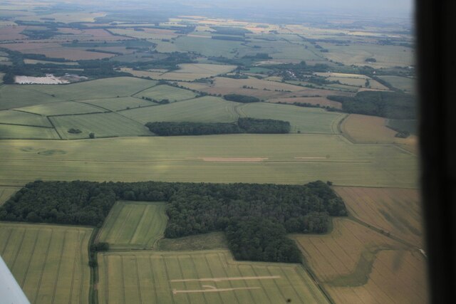
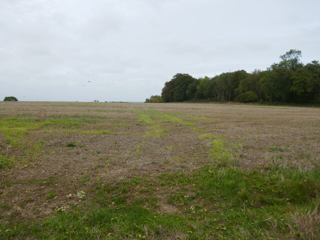
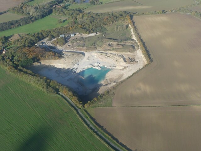
Rigsby Wood Images

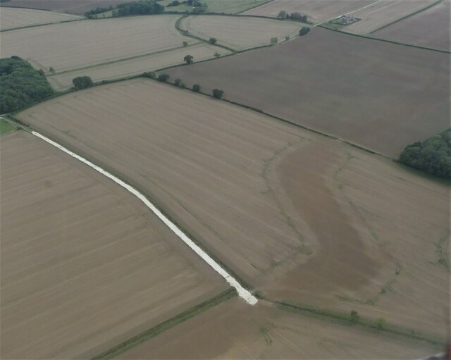
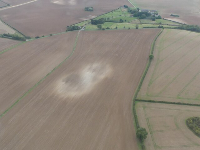
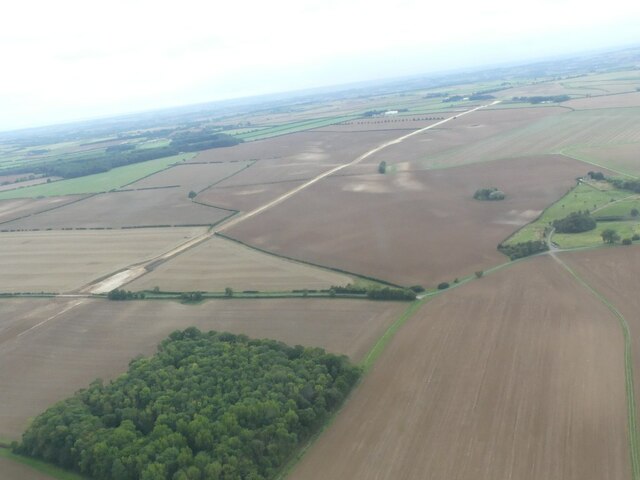
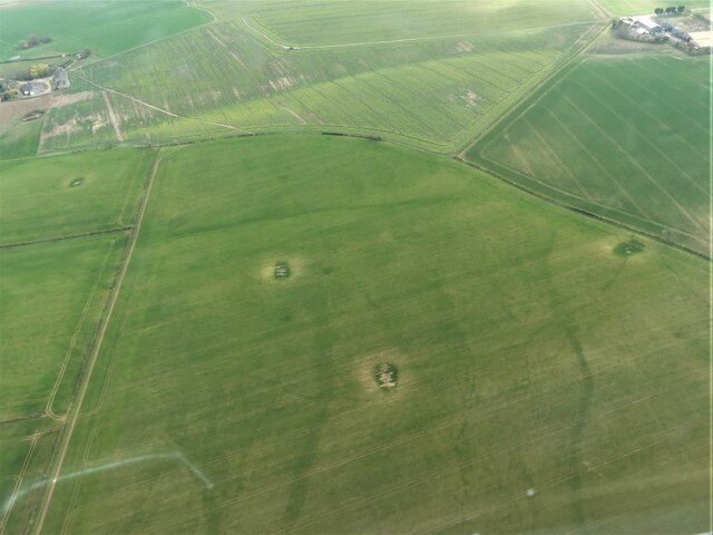
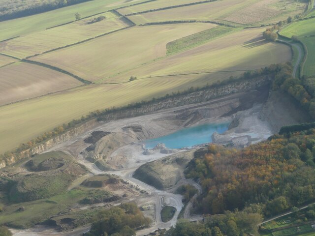
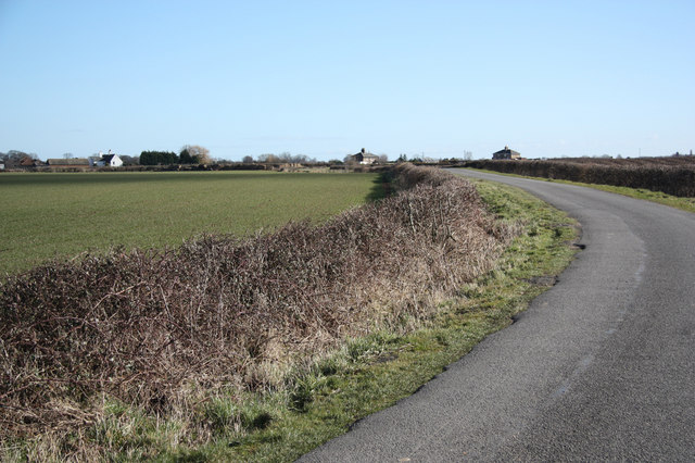
Images are sourced within 2km of 53.266445/0.1337669 or Grid Reference TF4276. Thanks to Geograph Open Source API. All images are credited.

Cropmarks in a field at Ailby: aerial 2021
Chalk Quarry at South Thoresby: aerial 2021 See <span class="nowrap"><a title="https://gbmsouththoresbyquarry.co.uk/" rel="nofollow ugc noopener" href="https://gbmsouththoresbyquarry.co.uk/">Link</a><img style="margin-left:2px;" alt="External link" title="External link - shift click to open in new window" src="https://s1.geograph.org.uk/img/external.png" width="10" height="10"/></span>
Chalk Quarry at South Thoresby: aerial 2021
See LinkExternal link
Limestone quarry at South Thorseby: aerial 2022
Waterway near the Old Gatehouse, SE of Swinn Wood: aerial 2022
Dog-leg in Viking Link cable near Rigsby Wood: aerial 2022 Viking Link is a 1,400 MW HVDC submarine power cable under construction between the United Kingdom and Denmark. See: <span class="nowrap"><a title="https://en.wikipedia.org/wiki/Viking_Link" rel="nofollow ugc noopener" href="https://en.wikipedia.org/wiki/Viking_Link">Link</a><img style="margin-left:2px;" alt="External link" title="External link - shift click to open in new window" src="https://s1.geograph.org.uk/img/external.png" width="10" height="10"/></span>

It comes onshore south of Sandilands (alongside Boy Grift Drain) and is to finish at Bicker Fen substation.

See also <a href="https://www.geograph.org.uk/photo/7292244">TF4275 : Viking Link cable installation SE of Haugh: aerial 2022 </a>, <a href="https://www.geograph.org.uk/photo/6818182">TF3674 : Red Hill, Brinkhill and Viking Link cable run from Sandilands: aerial 2021</a> and <a href="https://www.geograph.org.uk/photo/6818114">TF3973 : Viking Link cable run passing Ulceby cross: aerial 2021</a>.
Dog-leg in Viking Link cable near Rigsby Wood: aerial 2022
Viking Link is a 1,400 MW HVDC submarine power cable under construction between the United Kingdom and Denmark. See: LinkExternal link It comes onshore south of Sandilands (alongside Boy Grift Drain) and is to finish at Bicker Fen substation. See also TF4275 : Viking Link cable installation SE of Haugh: aerial 2022 , TF3674 : Red Hill, Brinkhill and Viking Link cable run from Sandilands: aerial 2021 and TF3973 : Viking Link cable run passing Ulceby cross: aerial 2021.
Soil Mark on field NE of Haugh: aerial 2022
Viking Link cable installation SE of Haugh: aerial 2022  Viking Link is a 1,400 MW HVDC submarine power cable under construction between the United Kingdom and Denmark. See: <span class="nowrap"><a title="https://en.wikipedia.org/wiki/Viking_Link" rel="nofollow ugc noopener" href="https://en.wikipedia.org/wiki/Viking_Link">Link</a><img style="margin-left:2px;" alt="External link" title="External link - shift click to open in new window" src="https://s1.geograph.org.uk/img/external.png" width="10" height="10"/></span>

It comes onshore south of Sandilands (alongside Boy Grift Drain) and is to finish at Bicker Fen substation.

See also <a href="https://www.geograph.org.uk/photo/7292237">TF4276 : Dog-leg in Viking Link cable near Rigsby Wood: aerial 2022</a>, <a href="https://www.geograph.org.uk/photo/6818182">TF3674 : Red Hill, Brinkhill and Viking Link cable run from Sandilands: aerial 2021</a> and <a href="https://www.geograph.org.uk/photo/6818114">TF3973 : Viking Link cable run passing Ulceby cross: aerial 2021</a>.
Viking Link cable installation SE of Haugh: aerial 2022
Viking Link is a 1,400 MW HVDC submarine power cable under construction between the United Kingdom and Denmark. See: LinkExternal link It comes onshore south of Sandilands (alongside Boy Grift Drain) and is to finish at Bicker Fen substation. See also TF4276 : Dog-leg in Viking Link cable near Rigsby Wood: aerial 2022, TF3674 : Red Hill, Brinkhill and Viking Link cable run from Sandilands: aerial 2021 and TF3973 : Viking Link cable run passing Ulceby cross: aerial 2021.
Former chalk pits on field at Haugh: aerial 2023
Track in Greenfield Wood Not a public right of way.
Track in Greenfield Wood
Not a public right of way.
Wheatfield off Greenfield Lane
Footpath to Tothby
Footpath to Tothby
Track to Tothby Manor A public footpath runs parallel to this beyond the hedge.
Track to Tothby Manor
A public footpath runs parallel to this beyond the hedge.
Across Aby to Mother Wood and a leisure facility: aerial 2023
Rigsby Wood: aerial 2023
Stubble field and Bogle Holt
Limestone Quarry and blue lagoon, South Thoresby: aerial 2023 (1) For explanation of blue quarry lakes see <span class="nowrap"><a title="https://en.wikipedia.org/wiki/Harpur_Hill_Quarry?fbclid=IwAR1DY23Hhe8TIAJmY2HvKQ5dHJKsoxANUsRKbHyBVxfBFYG_gAuKwgvre2k" rel="nofollow ugc noopener" href="https://en.wikipedia.org/wiki/Harpur_Hill_Quarry?fbclid=IwAR1DY23Hhe8TIAJmY2HvKQ5dHJKsoxANUsRKbHyBVxfBFYG_gAuKwgvre2k">Link</a><img style="margin-left:2px;" alt="External link" title="External link - shift click to open in new window" src="https://s1.geograph.org.uk/img/external.png" width="10" height="10"/></span>
Limestone Quarry and blue lagoon, South Thoresby: aerial 2023 (1)
For explanation of blue quarry lakes see LinkExternal link
Limestone Quarry and blue lagoon, South Thoresby: aerial 2023 (2) For explanation of blue quarry lakes see <span class="nowrap"><a title="https://en.wikipedia.org/wiki/Harpur_Hill_Quarry?fbclid=IwAR1DY23Hhe8TIAJmY2HvKQ5dHJKsoxANUsRKbHyBVxfBFYG_gAuKwgvre2k" rel="nofollow ugc noopener" href="https://en.wikipedia.org/wiki/Harpur_Hill_Quarry?fbclid=IwAR1DY23Hhe8TIAJmY2HvKQ5dHJKsoxANUsRKbHyBVxfBFYG_gAuKwgvre2k">Link</a><img style="margin-left:2px;" alt="External link" title="External link - shift click to open in new window" src="https://s1.geograph.org.uk/img/external.png" width="10" height="10"/></span>
Limestone Quarry and blue lagoon, South Thoresby: aerial 2023 (2)
For explanation of blue quarry lakes see LinkExternal link
Show me another place!

Rigsby Wood is located at Grid Ref: TF4276 (Lat: 53.266445, Lng: 0.1337669)

Administrative County: Lincolnshire

District: East Lindsey

Police Authority: Lincolnshire

What 3 Words

///erupt.lunch.apartment. Near Alford, Lincolnshire

Nearby Locations

Rigsby Wood Ailby Wood

Related Wikis

Haugh, Lincolnshire

Haugh is a hamlet and civil parish in the East Lindsey district of Lincolnshire, England. It is situated about 2 miles (3 km) south-west from the town...

Rigsby, Lincolnshire

Rigsby is a village and part of the civil parish of Rigsby with Ailby, in the East Lindsey district of Lincolnshire, England. It is situated approximately...

Ailby

Ailby is a hamlet in the East Lindsey district of Lincolnshire, England. It is situated less than 1 mile (1.6 km) north-west from Alford, and forms part...

Aby with Greenfield

Aby with Greenfield is a civil parish in the East Lindsey district of Lincolnshire, England. The population of the civil parish at the 2011 Census was...

Have you been to Rigsby Wood?

Leave your review of Rigsby Wood below (or comments, questions and feedback).