Gotwick Wood

Wood, Forest in Sussex Wealden

England

Gotwick Wood

Orchards Nursery Originally this was the kitchen garden and fruit orchard serving the main house known as Orchards which was linked by a bridge across the road. Now a busy family owned nursery. The high wall supports the greenhouses on the south facing side.
Orchards Nursery Credit: Nigel Freeman

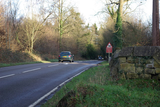
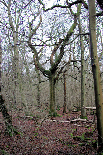
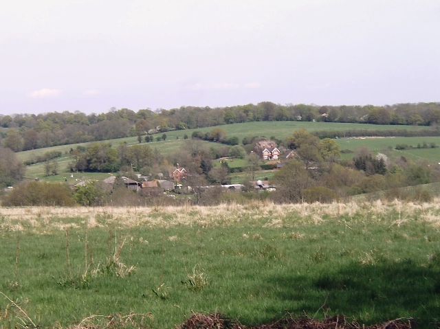
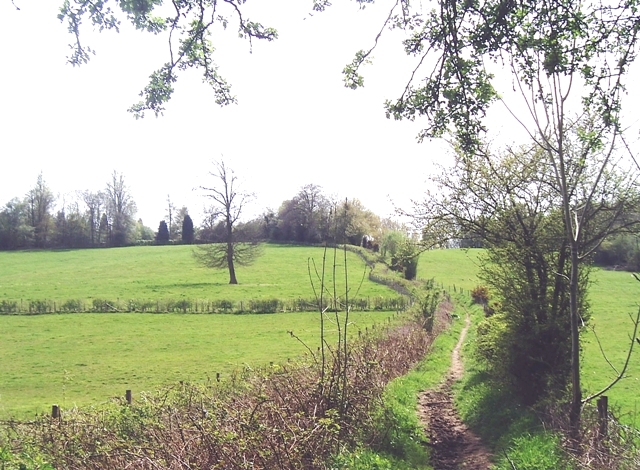
Gotwick Wood is a picturesque woodland located in Sussex, England. Covering an expansive area, it is known for its diverse flora and fauna, making it a popular destination for nature enthusiasts and hikers alike. The wood is predominantly composed of native tree species, including oak, beech, and ash, which create a dense canopy that provides shade and shelter for a plethora of wildlife.

The forest floor is adorned with a rich carpet of bluebells during the springtime, creating a stunning display of vibrant colors. Gotwick Wood also boasts an array of other wildflowers, such as primroses and wood anemones, which add to its natural beauty. Birdwatchers can spot various species, including woodpeckers, nuthatches, and tawny owls, while lucky visitors may even catch a glimpse of deer or foxes roaming through the woodland.

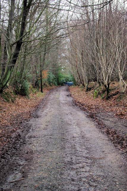
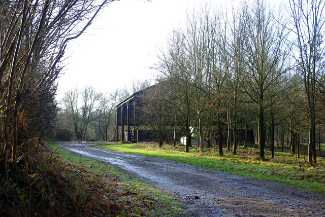
The wood offers several well-maintained walking trails, allowing visitors to explore its tranquil surroundings. These trails wind through ancient trees, revealing hidden groves and enchanting clearings. The peaceful atmosphere and the sound of birdsong provide a serene backdrop for those seeking solace in nature.

Gotwick Wood is not only a haven for wildlife but also a site of historical interest. It is believed that the wood has been present since at least the medieval period, and remnants of ancient boundaries and earthworks can still be seen today. This adds a sense of mystery and intrigue to the woodland, connecting visitors to the past.

Overall, Gotwick Wood is a captivating natural gem, offering a blend of breathtaking scenery, wildlife encounters, and historical significance.

If you have any feedback on the listing, please let us know in the comments section below.
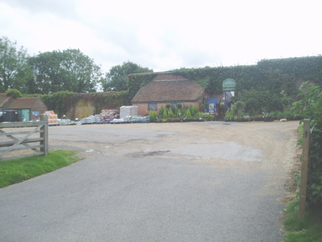
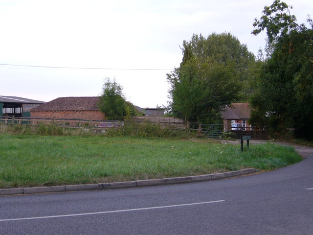
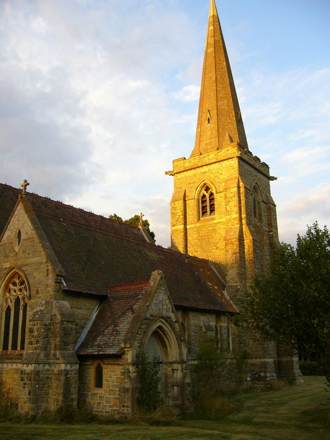
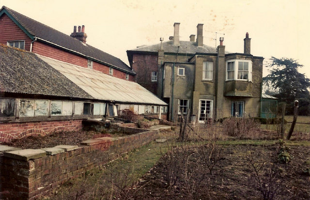
Gotwick Wood Images

Images are sourced within 2km of 51.137474/0.033641024 or Grid Reference TQ4239. Thanks to Geograph Open Source API. All images are credited.

Orchards Nursery Originally this was the kitchen garden and fruit orchard serving the main house known as Orchards which was linked by a bridge across the road. Now a busy family owned nursery. The high wall supports the greenhouses on the south facing side.
Orchards Nursery
Originally this was the kitchen garden and fruit orchard serving the main house known as Orchards which was linked by a bridge across the road. Now a busy family owned nursery. The high wall supports the greenhouses on the south facing side.
Near Shovelstrode Farm in Homestall Road near Ashurst Wood. Shovelstrode Farm is out of shot to the right.
Near Shovelstrode Farm
in Homestall Road near Ashurst Wood. Shovelstrode Farm is out of shot to the right.
St Stephen's Church Hammerwood
St Stephen's Church
Hammerwood
The Larches Side view of main house of The Larches, showing greenhouse and part of former servants' quarters. Taken from just inside main Sandawes Hill gate.
The Larches
Side view of main house of The Larches, showing greenhouse and part of former servants' quarters. Taken from just inside main Sandawes Hill gate.
Bend on A264 east of Hammerwood Church A view east from the gateway into Hammerwood churchyard (its wall is on the right). The feature is the left-hand bend that the approaching car is rounding.
Bend on A264 east of Hammerwood Church
A view east from the gateway into Hammerwood churchyard (its wall is on the right). The feature is the left-hand bend that the approaching car is rounding.
In Fifty Acre Wood A rather neglected wood notable for the old iron ore diggings downhill from this spot.
In Fifty Acre Wood
A rather neglected wood notable for the old iron ore diggings downhill from this spot.
Bridleway from Kent to Sussex A view towards the end of the bridleway (also a private track) where it meets the A264 at a tricky bend.
Bridleway from Kent to Sussex
A view towards the end of the bridleway (also a private track) where it meets the A264 at a tricky bend.
Dog Gate Lodge At a crossroads of tracks. The Vanguard way comes from the south and turns initially west (out of sight), a private track goes north, and a public bridleway goes east.
Dog Gate Lodge
At a crossroads of tracks. The Vanguard way comes from the south and turns initially west (out of sight), a private track goes north, and a public bridleway goes east.
Hammerwood House Hammer Wood is to the right. The Hammer reference is derived from the Wealden iron industry.
Hammerwood House
Hammer Wood is to the right. The Hammer reference is derived from the Wealden iron industry.
A Lorry in a Field The lorry has not moved from this spot for over a year, and has remained half tipped.
A Lorry in a Field
The lorry has not moved from this spot for over a year, and has remained half tipped.
Wealden farmland Taken just north of the main road from East Grinstead to Tunbridge Wells.
Wealden farmland
Taken just north of the main road from East Grinstead to Tunbridge Wells.
Vanguard Way footpath Taken from the footbridge over an un-named stream south of Hammerwood.
Vanguard Way footpath
Taken from the footbridge over an un-named stream south of Hammerwood.
Oast House at The Barn, Old Surrey Hall, Lingfield, Surrey
Surrey/West Sussex/East Sussex meeting point The three counties meet on this bridge over the small stream visible on the left of the photo.  West Sussex is in the left foreground, East Sussex is in the right foreground and Surrey is beyond the stream.
Surrey/West Sussex/East Sussex meeting point
The three counties meet on this bridge over the small stream visible on the left of the photo. West Sussex is in the left foreground, East Sussex is in the right foreground and Surrey is beyond the stream.
County boundary This lane, which leads from Gotwick Farm on the A264 to Old Surrey Hall, forms the boundary between West Sussex (on the left) and East Sussex (on the right).  These two counties then meet Surrey at the dip in the distance (see <a href="https://www.geograph.org.uk/photo/1205436">TQ4139 : Surrey/West Sussex/East Sussex meeting point</a> for close up).
County boundary
This lane, which leads from Gotwick Farm on the A264 to Old Surrey Hall, forms the boundary between West Sussex (on the left) and East Sussex (on the right). These two counties then meet Surrey at the dip in the distance (see TQ4139 : Surrey/West Sussex/East Sussex meeting point for close up).
Pumphouse Farm Pumphouse Farm is on the left of the road, which is the A264 running from Tunbridge Wells to East Grinstead.  The building on the right is part of Gotwick Farm.  Both are grade II listed - for listing particulars see <span class="nowrap"><a title="www.historicengland.org.uk/listing/the-list/list-entry/1248943" rel="nofollow ugc noopener" href="http://www.historicengland.org.uk/listing/the-list/list-entry/1248943">Link</a><img style="margin-left:2px;" alt="External link" title="External link - shift click to open in new window" src="https://s1.geograph.org.uk/img/external.png" width="10" height="10"/></span> and <span class="nowrap"><a title="www.historicengland.org.uk/listing/the-list/list-entry/1248942" rel="nofollow ugc noopener" href="http://www.historicengland.org.uk/listing/the-list/list-entry/1248942">Link</a><img style="margin-left:2px;" alt="External link" title="External link - shift click to open in new window" src="https://s1.geograph.org.uk/img/external.png" width="10" height="10"/></span> respectively.
Pumphouse Farm
Pumphouse Farm is on the left of the road, which is the A264 running from Tunbridge Wells to East Grinstead. The building on the right is part of Gotwick Farm. Both are grade II listed - for listing particulars see LinkExternal link and LinkExternal link respectively.
Border crossing Looking into West Sussex from East Sussex on the A264, the border being somewhere in the vicinity of the assorted road signs.
Border crossing
Looking into West Sussex from East Sussex on the A264, the border being somewhere in the vicinity of the assorted road signs.
Barn near Gotwick Manor Behind a gate off Shepherdsgrove Lane.
Barn near Gotwick Manor
Behind a gate off Shepherdsgrove Lane.
Show me another place!

Gotwick Wood is located at Grid Ref: TQ4239 (Lat: 51.137474, Lng: 0.033641024)

Administrative County: East Sussex

District: Wealden

Police Authority: Sussex

What 3 Words

///cliff.judges.enable. Near Dormansland, Surrey

Related Wikis

Hammerwood

Hammerwood is a hamlet in the civil parish of Forest Row in East Sussex, England. Its nearest town is East Grinstead, which lies approximately 3.5 miles...

Hammerwood Park

Hammerwood Park is a country house in Hammerwood, near East Grinstead, in East Sussex, England. It is a Grade I listed building. One of the first houses...

Stoke Brunswick School

Stoke Brunswick School was a small co-educational day and boarding independent school for children aged 3 to 13 years, situated in Ashurst Wood, West Sussex...

Queen Victoria Hospital

The Queen Victoria Hospital (QVH), located in East Grinstead, West Sussex, England is the specialist reconstructive surgery centre for the south east of...

East Grinstead Town F.C.

East Grinstead Town Football Club is a football club based in East Grinstead, West Sussex, England. They are currently members of the Isthmian League South...

East Grinstead Meridian (electoral division)

East Grinstead Meridian is an electoral division of West Sussex in the United Kingdom, and returns one member to sit on West Sussex County Council. �...

East Grinstead

East Grinstead is a town in West Sussex, England, near the East Sussex, Surrey, and Kent borders, 27 miles (43 km) south of London, 21 miles (34 km) northeast...

Sackville School, East Grinstead

Sackville School is a coeducational secondary school and sixth form located in East Grinstead, England. In 2020, the number of students was approximately...

Nearby Amenities

Located within 500m of 51.137474,0.033641024
Gotwick Wood
Natural: wood
Source: npe
Lat/Long: 51.1354989/0.0385935
Power: tower
Lat/Long: 51.1369007/0.0353438
Power: tower
Lat/Long: 51.1382782/0.0340588
Power: tower
Lat/Long: 51.1341847/0.0378773
Barrier: stile
Lat/Long: 51.1396178/0.0339354
Barrier: stile
Lat/Long: 51.140989/0.0370739
Barrier: stile
Lat/Long: 51.1382011/0.0316003
Barrier: stile
Lat/Long: 51.1378389/0.0287881
Barrier: stile
Lat/Long: 51.139133/0.0329986
The data included in this document is from www.openstreetmap.org. The data is made available under ODbL.

Have you been to Gotwick Wood?

Leave your review of Gotwick Wood below (or comments, questions and feedback).