Little Heath
Wood, Forest in Surrey Tandridge
England
Little Heath

Little Heath is a picturesque village located in the county of Surrey, England. Situated in the heart of the Surrey Hills Area of Outstanding Natural Beauty, it is surrounded by lush woodlands and enchanting forests, making it a haven for nature enthusiasts.
The village is known for its serene atmosphere and charming rural character. It is home to a close-knit community that takes pride in preserving the natural beauty of the area. The woodlands in Little Heath are particularly notable, with ancient trees providing a habitat for a diverse range of flora and fauna.
The forested areas offer countless opportunities for outdoor activities. Hiking trails crisscross through the woodlands, allowing visitors to explore its hidden treasures and enjoy breathtaking views of the surrounding countryside. Birdwatchers will delight in the abundance of avian species that grace the area, including woodpeckers, owls, and various songbirds.
Little Heath itself boasts a few amenities, including a village hall, a local pub, and a small convenience store, catering to the needs of its residents and visitors. The nearby town of Guildford offers a wider range of amenities, including shopping centers, restaurants, and cultural attractions.
Overall, Little Heath, Surrey is a tranquil and idyllic village that offers a perfect escape from the hustle and bustle of city life. Its woodlands and forests provide an oasis of natural beauty, offering a wealth of opportunities for outdoor recreation and exploration.
If you have any feedback on the listing, please let us know in the comments section below.
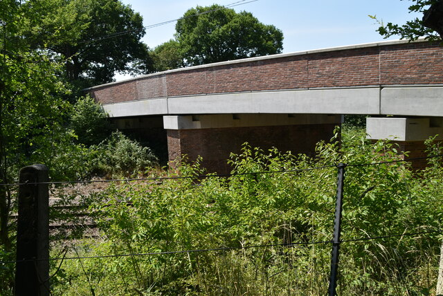
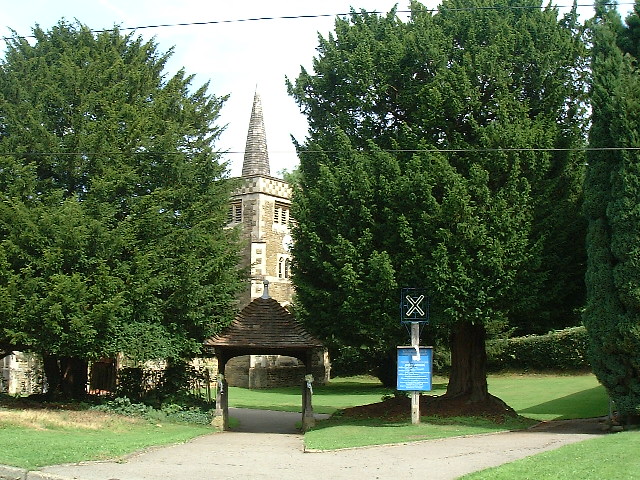
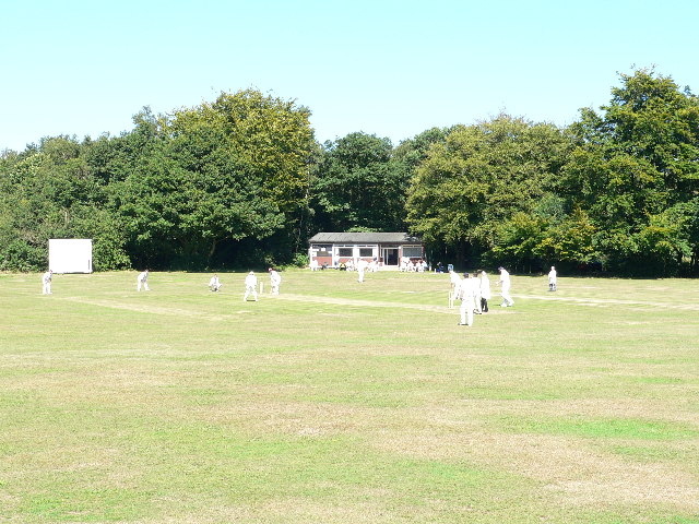
Little Heath Images
Images are sourced within 2km of 51.248026/0.031048948 or Grid Reference TQ4151. Thanks to Geograph Open Source API. All images are credited.


Little Heath is located at Grid Ref: TQ4151 (Lat: 51.248026, Lng: 0.031048948)
Administrative County: Surrey
District: Tandridge
Police Authority: Surrey
What 3 Words
///news.face.score. Near Oxted, Surrey
Nearby Locations
Related Wikis

Tandridge Priory
Tandridge Priory was a priory in Surrey, England. == History == Tandridge Priory was originally a hospital founded in 1189–99 by Odo de Dammartin, and...

Hazelwood School
Hazelwood School is a private preparatory school in Limpsfield, Surrey, England. The school was established in 1890 as a boarding school for boys aged...

Limpsfield
Limpsfield is a village and civil parish in Surrey, England, at the foot of the North Downs close to Oxted railway station and the A25. The composer Frederick...
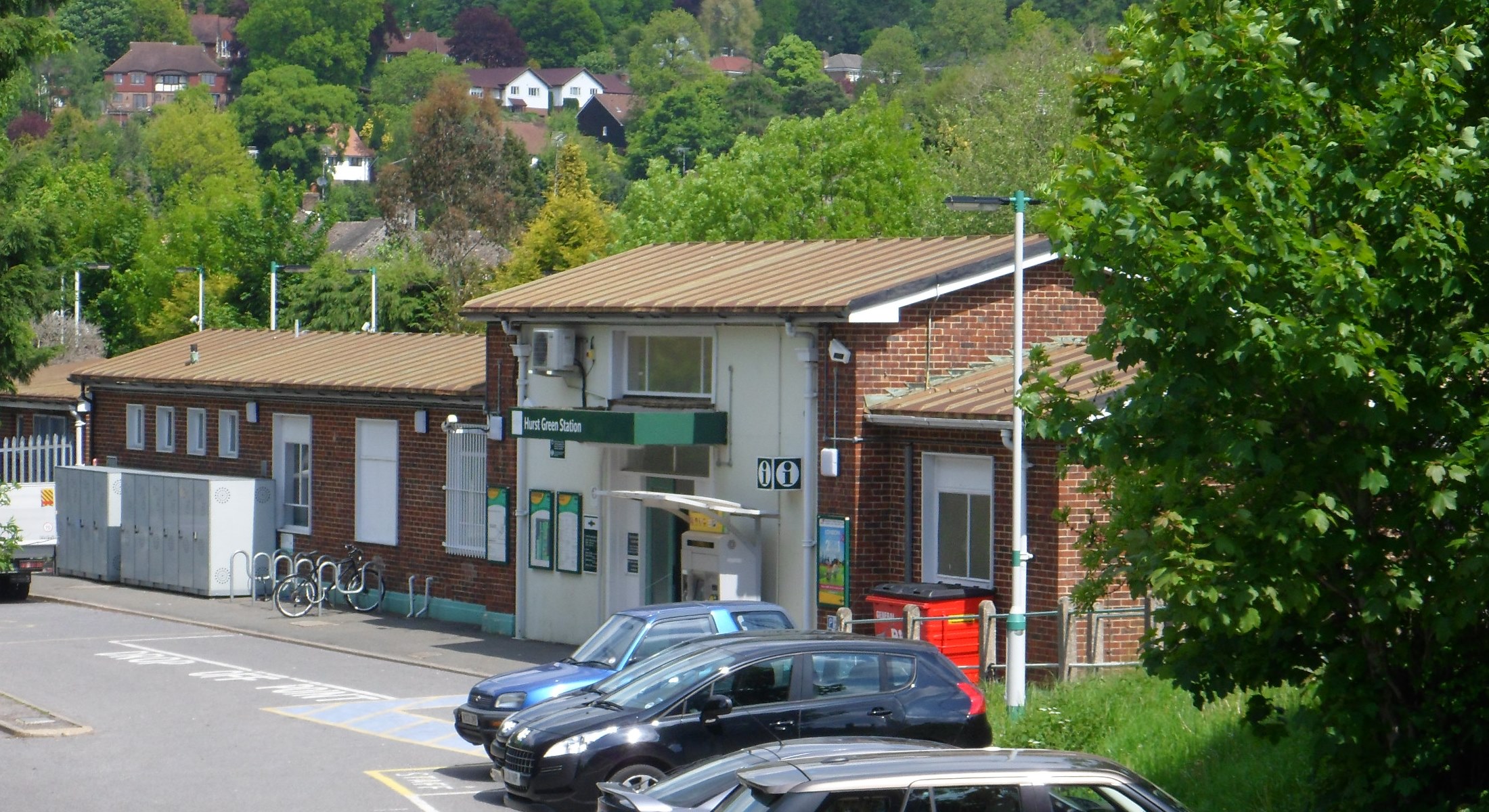
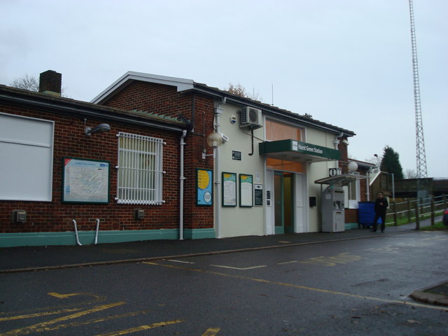
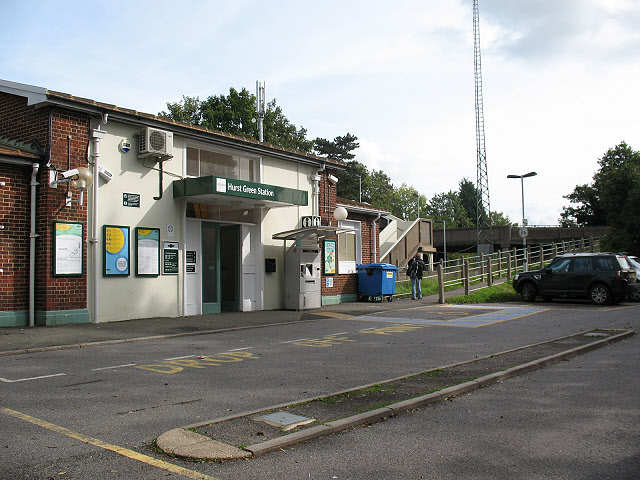
Hurst Green railway station
Hurst Green railway station is on the Oxted line in southern England and serves the Hurst Green neighbourhood of Oxted in Surrey. It is 21 miles 20 chains...
Nearby Amenities
Located within 500m of 51.248026,0.031048948Have you been to Little Heath?
Leave your review of Little Heath below (or comments, questions and feedback).