Blockfield Wood
Wood, Forest in Surrey Tandridge
England
Blockfield Wood
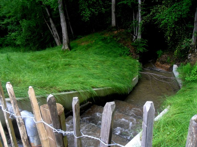
Blockfield Wood is a picturesque wooded area located in Surrey, England. Covering an area of approximately 100 hectares, the wood is nestled in the heart of the Surrey Hills Area of Outstanding Natural Beauty. The wood is characterized by its dense and diverse tree canopy, which is predominantly composed of native broadleaf species such as oak, beech, and ash.
The wood boasts a rich biodiversity, providing a habitat for a wide range of flora and fauna. It is home to a variety of woodland birds, including the great spotted woodpecker, tawny owl, and various species of warblers. Mammals such as foxes, badgers, and deer can also be spotted within the wood.
Blockfield Wood offers a tranquil and peaceful environment, attracting nature enthusiasts, walkers, and photographers alike. It features a network of well-maintained footpaths, allowing visitors to explore the wood and discover its hidden gems. The wood is particularly stunning during springtime when the forest floor is carpeted with bluebells, creating a breathtaking sight.
The wood is managed by the Forestry Commission, which ensures the preservation of its natural integrity. Sustainable forestry practices are implemented to maintain the health and vitality of the trees while also providing timber for commercial use.
Blockfield Wood offers a perfect setting for outdoor activities such as picnicking, nature walks, and wildlife observation. It is a cherished natural asset and a popular destination for those seeking a connection with nature in the beautiful Surrey countryside.
If you have any feedback on the listing, please let us know in the comments section below.
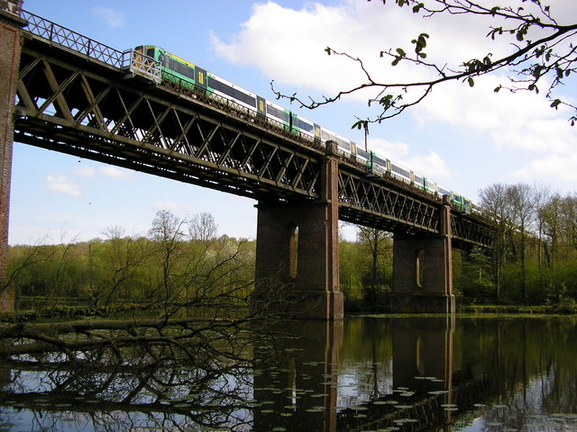
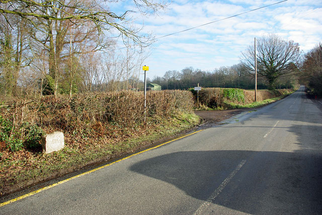
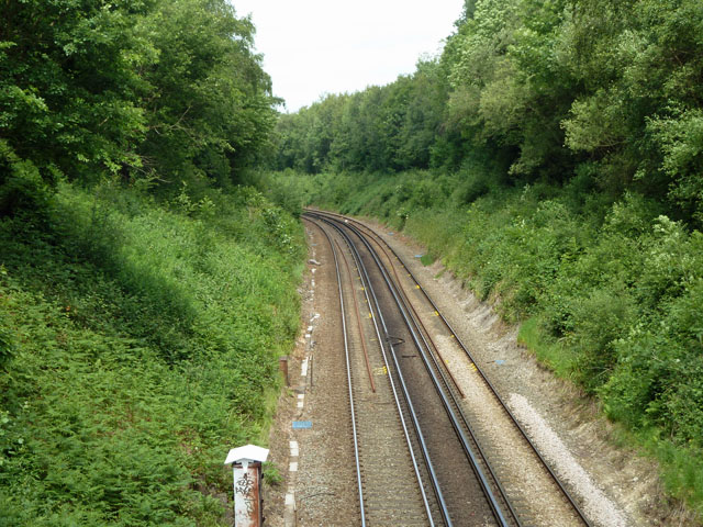
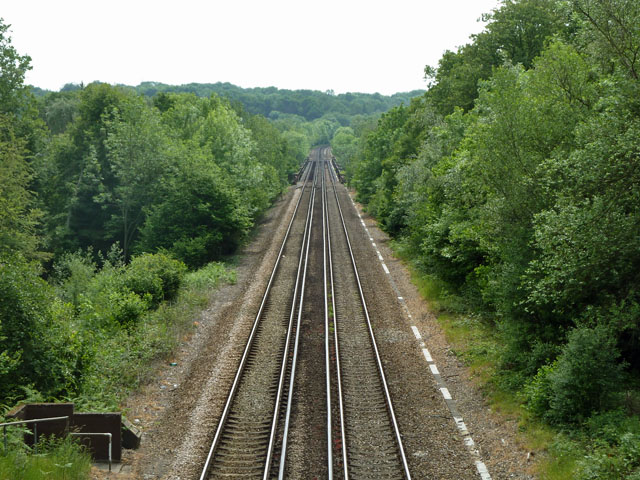
Blockfield Wood Images
Images are sourced within 2km of 51.145317/0.022147547 or Grid Reference TQ4140. Thanks to Geograph Open Source API. All images are credited.


Blockfield Wood is located at Grid Ref: TQ4140 (Lat: 51.145317, Lng: 0.022147547)
Administrative County: Surrey
District: Tandridge
Police Authority: Surrey
What 3 Words
///slower.exact.pouch. Near Dormansland, Surrey
Nearby Locations
Related Wikis

Greathed Manor
Greathed Manor, Dormansland, Surrey, is a Victorian country house. Designed by the architect Robert Kerr in 1862–8, it is a Grade II listed building....

Queen Victoria Hospital
The Queen Victoria Hospital (QVH), located in East Grinstead, West Sussex, England is the specialist reconstructive surgery centre for the south east of...

East Grinstead Meridian (electoral division)
East Grinstead Meridian is an electoral division of West Sussex in the United Kingdom, and returns one member to sit on West Sussex County Council. �...

East Grinstead Town F.C.
East Grinstead Town Football Club is a football club based in East Grinstead, West Sussex, England. They are currently members of the Isthmian League South...

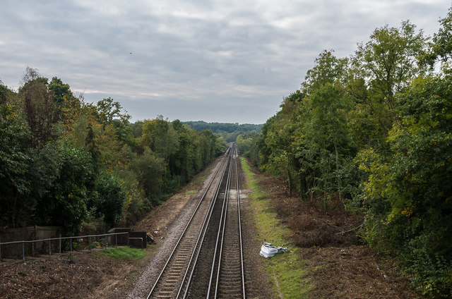
Dormans railway station
Dormans railway station is on the East Grinstead branch of the Oxted line in southern England and serves Dormansland and Dormans Park in Surrey. It is...

East Grinstead
East Grinstead is a town in West Sussex, England, near the East Sussex, Surrey, and Kent borders, 27 miles (43 km) south of London, 21 miles (34 km) northeast...

Dormansland, Surrey
Dormansland is a large village and civil parish with a low population approximately one mile south of Lingfield in Surrey, England. It was founded in the...

Hammerwood
Hammerwood is a hamlet in the civil parish of Forest Row in East Sussex, England. Its nearest town is East Grinstead, which lies approximately 3.5 miles...
Nearby Amenities
Located within 500m of 51.145317,0.022147547Have you been to Blockfield Wood?
Leave your review of Blockfield Wood below (or comments, questions and feedback).