Berry Wood

Wood, Forest in Sussex Mid Sussex

England

Berry Wood

The old houses and shops at East Grinstead The top end of East Grinstead has not changed much for 100s of years. Many of the wood framed buildings still stand and the Town Church dominates.
The old houses and shops at East Grinstead Credit: Nigel Freeman

Berry Wood is a picturesque woodland located in Sussex, England. Spread over an area of approximately 100 acres, this enchanting forest is nestled amidst the rolling hills and lush green landscapes of the South Downs National Park. The wood is known for its rich biodiversity and diverse range of flora and fauna.

One of the standout features of Berry Wood is its dense canopy, which is mainly composed of native broadleaf trees such as oak, beech, and ash. These towering trees create a serene and tranquil atmosphere, providing a perfect habitat for a variety of wildlife. Visitors can witness a plethora of bird species, including woodpeckers, thrushes, and owls, as they navigate through the branches.

The forest floor is adorned with a vibrant tapestry of wildflowers, ferns, and moss, adding to the wood's natural beauty. In spring, the woodland comes alive with a riot of colors as bluebells, primroses, and wild garlic carpet the forest floor.

Berry Wood also offers several walking trails that meander through the forest, allowing visitors to explore its hidden gems. These paths lead to charming clearings and streams, providing a peaceful retreat for nature enthusiasts and photographers.

The wood is managed by local authorities and conservation groups to ensure its preservation and protect its unique ecosystem. Regular maintenance activities such as tree thinning and invasive species control are carried out to maintain the delicate balance of the woodland.

Overall, Berry Wood is a captivating destination for anyone seeking solace in nature, offering a glimpse into the mesmerizing beauty of Sussex's woodlands.

If you have any feedback on the listing, please let us know in the comments section below.
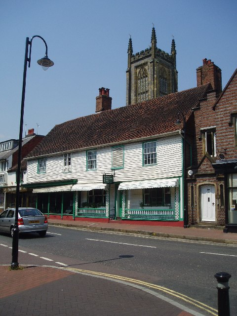
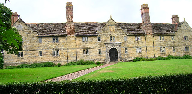
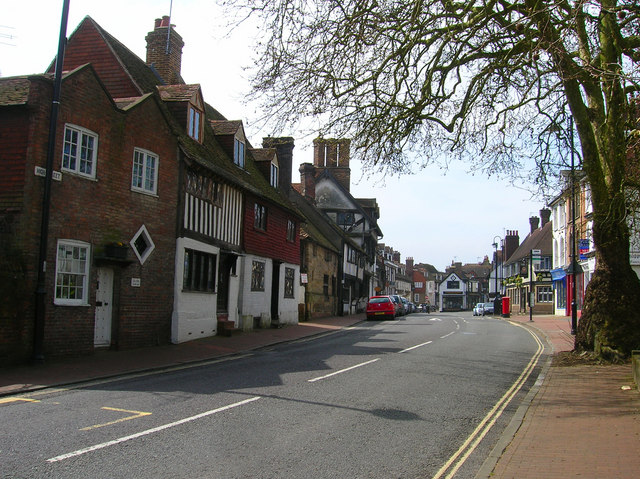
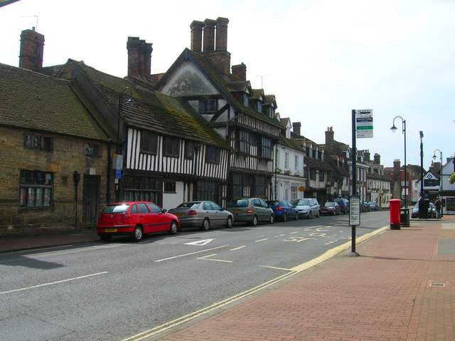
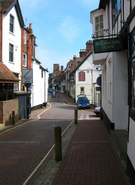
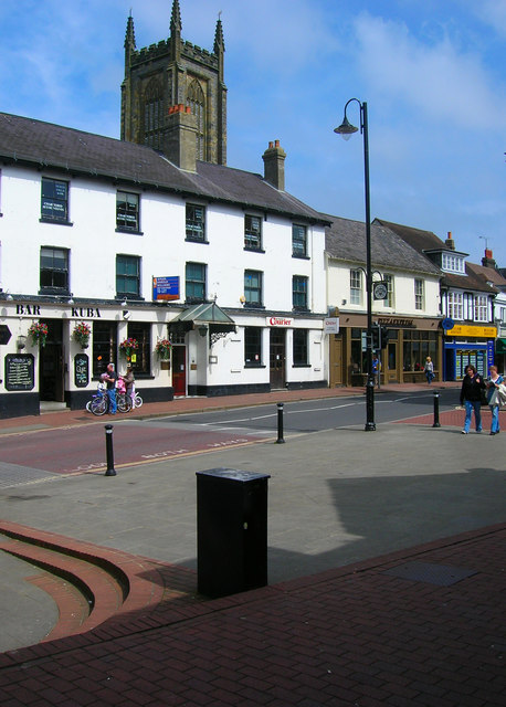
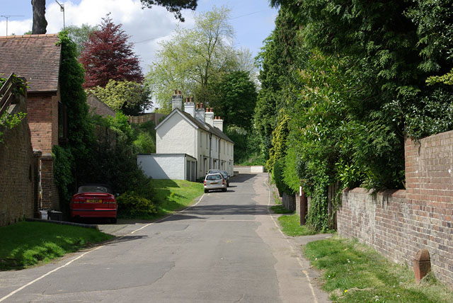
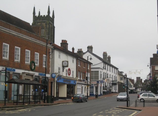
Berry Wood Images

Images are sourced within 2km of 51.118541/0.020277981 or Grid Reference TQ4137. Thanks to Geograph Open Source API. All images are credited.

The old houses and shops at East Grinstead The top end of East Grinstead has not changed much for 100s of years. Many of the wood framed buildings still stand and the Town Church dominates.
The old houses and shops at East Grinstead
The top end of East Grinstead has not changed much for 100s of years. Many of the wood framed buildings still stand and the Town Church dominates.
Sackville College. East Grinstead Originally built as Almshouses in 1609
Sackville College. East Grinstead
Originally built as Almshouses in 1609
High Street The eastern approach to the old Wealden market town's main street which was laid out in the 13th century. The main buildings in view are the Old Lockup a former 19th century police station and Porch House a 16th century cottage followed by the 15th century Cromwell House. In the distance the wide street has had shops built in the middle probably on older market plots.
High Street
The eastern approach to the old Wealden market town's main street which was laid out in the 13th century. The main buildings in view are the Old Lockup a former 19th century police station and Porch House a 16th century cottage followed by the 15th century Cromwell House. In the distance the wide street has had shops built in the middle probably on older market plots.
Cromwell House, High Street Built in 1599 for Thomas Payne a local ironmaster. Destroyed by fire in 1928 but meticulously restored over the following year.
Cromwell House, High Street
Built in 1599 for Thomas Payne a local ironmaster. Destroyed by fire in 1928 but meticulously restored over the following year.
High Street Small row of shops between Church Lane on the left and the gardens of Sackville College on the far right. Built in the mid 1850s the middle one has an old frontage proclaiming it to be NH Pearson, cycle designer, est.1893, with what looks like a replica display from that era. The shadows on the street are made by Cromwell House.
High Street
Small row of shops between Church Lane on the left and the gardens of Sackville College on the far right. Built in the mid 1850s the middle one has an old frontage proclaiming it to be NH Pearson, cycle designer, est.1893, with what looks like a replica display from that era. The shadows on the street are made by Cromwell House.
Middle Row The wide High Street has been subdivided at this point with the main portion of the road going right and the smaller Middle Row to the left. The middle of the road was built on around the 15th century probably on the site of older market stalls. The building immediately to the left is the Dorset Arms which dates from 1705. Much of the High Street contains old buildings from the 14th to 18th century.
Middle Row
The wide High Street has been subdivided at this point with the main portion of the road going right and the smaller Middle Row to the left. The middle of the road was built on around the 15th century probably on the site of older market stalls. The building immediately to the left is the Dorset Arms which dates from 1705. Much of the High Street contains old buildings from the 14th to 18th century.
Hermitage Lane Small lane heading south from the High Street its slope giving an indication of East Grinstead's main street being built on a Wealden ridge.
Hermitage Lane
Small lane heading south from the High Street its slope giving an indication of East Grinstead's main street being built on a Wealden ridge.
Middle Row Taken from the junction with Portland Road. Some of the houses date from the 1350s and have often been expanded during other periods, Wilmington House, the first on the left, has an Elizabethan east wing grafted onto an older 14th century hall house that dates from around 1352. The buildings on the right are the rear parts of the shops on High Street.
Middle Row
Taken from the junction with Portland Road. Some of the houses date from the 1350s and have often been expanded during other periods, Wilmington House, the first on the left, has an Elizabethan east wing grafted onto an older 14th century hall house that dates from around 1352. The buildings on the right are the rear parts of the shops on High Street.
Middle Row Looking back towards the High Street with the Dorset Arms beyond the blue car and the chimney stacks of Cromwell House in the distance.
Middle Row
Looking back towards the High Street with the Dorset Arms beyond the blue car and the chimney stacks of Cromwell House in the distance.
Crown House, High Street Containing Bar Kuba and the offices of the local paper. Built in the 19th century but the name records an even older inn of 1502. Behind the shops and offices is the tower of St Swithuns church erected in 1812 after the previous tower collapsed and destroyed the 14th century church in 1785.
Crown House, High Street
Containing Bar Kuba and the offices of the local paper. Built in the 19th century but the name records an even older inn of 1502. Behind the shops and offices is the tower of St Swithuns church erected in 1812 after the previous tower collapsed and destroyed the 14th century church in 1785.
Looking into the western hemisphere, Old Road Before about 1825, this was the old approach to the town centre from the east. The road went straight on in a cutting up a steep hill. After road diversion to the left, the road was blocked straight ahead by earthworks for the extended College Lane coming in from the right. A marker stone for the Greenwich meridian is in the right foreground.
Looking into the western hemisphere, Old Road
Before about 1825, this was the old approach to the town centre from the east. The road went straight on in a cutting up a steep hill. After road diversion to the left, the road was blocked straight ahead by earthworks for the extended College Lane coming in from the right. A marker stone for the Greenwich meridian is in the right foreground.
St Swithun's Church Parish Church of East Grinstead. While not obvious at close quarters, it stands prominently on a hill, and can be clearly seen from high points to the south.
St Swithun's Church
Parish Church of East Grinstead. While not obvious at close quarters, it stands prominently on a hill, and can be clearly seen from high points to the south.
St Swithun's Church Lych Gate
East Grinstead High Street The row of Tudor houses on a snowy Sunday.
East Grinstead High Street
The row of Tudor houses on a snowy Sunday.
East Grinstead High Street A collection of photos taken near midday by photographers all over the country. Map: <a title="https://www.geograph.org.uk/stuff/xmas.php?year=2009" href="https://www.geograph.org.uk/stuff/xmas.php?year=2009">Link</a>
East Grinstead High Street
A collection of photos taken near midday by photographers all over the country. Map: Link
High Street, East Grinstead During 'The Big Freeze' January 2010.
High Street, East Grinstead
During 'The Big Freeze' January 2010.
Herontye Drive One of the areas which greatly expanded East Grinstead in the last fifty years.
Herontye Drive
One of the areas which greatly expanded East Grinstead in the last fifty years.
Pearson's cycle shop Norman Pearson's shop front on the High Street seems to have remained unchanged for at least 45 years.  The "N.H" has been painted over "H.U", presumably Norman's father?
Pearson's cycle shop
Norman Pearson's shop front on the High Street seems to have remained unchanged for at least 45 years. The "N.H" has been painted over "H.U", presumably Norman's father?
Show me another place!

Berry Wood is located at Grid Ref: TQ4137 (Lat: 51.118541, Lng: 0.020277981)

Administrative County: West Sussex

District: Mid Sussex

Police Authority: Sussex

What 3 Words

///condensed.tripling.restores. Near East Grinstead, West Sussex

Related Wikis

Stoke Brunswick School

Stoke Brunswick School was a small co-educational day and boarding independent school for children aged 3 to 13 years, situated in Ashurst Wood, West Sussex...

Ashurst Wood

Ashurst Wood is a village and civil parish in the Mid Sussex District of West Sussex, within the historic county of Sussex, England. It is 1 mile (2 km...

Brambletye School

Brambletye School is a coeducational day and boarding preparatory school in East Grinstead, West Sussex. It was founded as a small boys' boarding school...

Three Bridges–Tunbridge Wells line

The Three Bridges–Tunbridge Wells line is a mostly disused railway line running from Three Bridges (on the Brighton Main Line) in West Sussex to Tunbridge...

Nearby Amenities

Located within 500m of 51.118541,0.020277981
Barrier: stile
Foot: yes
Stile: stepover
Lat/Long: 51.1198985/0.0244239
Barrier: stile
Foot: yes
Lat/Long: 51.1193059/0.0249561
Bus Stop
Windmill Lane
Bus: yes
Naptan AtcoCode: 4400EG0170
Naptan Bearing: SE
Naptan CommonName: Windmill Lane
Naptan Indicator: adj Windmill Lane
Naptan Landmark: Windmill Lane
Naptan NaptanCode: wsxapajt
Naptan Street: A22 Lewes Road
Naptan Verified: no
Public Transport: platform
Source: naptan_import
Lat/Long: 51.1148986/0.0165032
Bus Stop
Windmill Lane
Bus: yes
Naptan AtcoCode: 4400EG0171
Naptan Bearing: NW
Naptan CommonName: Windmill Lane
Naptan Indicator: opp Windmill Lane
Naptan Landmark: Windmill Lane
Naptan NaptanCode: wsxapajw
Naptan Street: A22 Lewes Road
Naptan Verified: no
Public Transport: platform
Source: naptan_import
Lat/Long: 51.1149904/0.0160787
Barrier: stile
Foot: yes
Lat/Long: 51.1174499/0.0183481
Barrier: sally_port
Bicycle: no
Foot: yes
Lat/Long: 51.1185647/0.0177912
Barrier: kissing_gate
Lat/Long: 51.1188208/0.0181094
Barrier: stile
Foot: yes
Lat/Long: 51.1151945/0.0244006
Barrier: stile
Foot: yes
Lat/Long: 51.1165282/0.0255665
Barrier: stile
Foot: yes
Lat/Long: 51.1171521/0.0266837
Barrier: stile
Material: wood
Stile: stepover
Lat/Long: 51.1228069/0.0183078
Barrier: stile
Lat/Long: 51.1195604/0.0179007
The data included in this document is from www.openstreetmap.org. The data is made available under ODbL.

Have you been to Berry Wood?

Leave your review of Berry Wood below (or comments, questions and feedback).