Bury Plantation
Wood, Forest in Hertfordshire East Hertfordshire
England
Bury Plantation

Bury Plantation is a picturesque woodland located in Hertfordshire, England. Situated near the village of Bury Green, the plantation covers an area of approximately 100 acres and is a popular destination for nature enthusiasts and outdoor activities.
The woodland is characterized by its diverse range of trees, including oak, beech, ash, and birch. These trees create a dense canopy, providing a habitat for a variety of wildlife including birds, squirrels, and deer. The plantation is also home to a range of plant species, such as bluebells, wild garlic, and ferns, which add to the natural beauty of the area.
Bury Plantation offers a network of well-maintained walking trails, allowing visitors to explore the woodland and enjoy its tranquil atmosphere. The paths wind through the trees, providing opportunities to observe the flora and fauna, as well as offering scenic viewpoints and picnic spots.
The woodland is managed by the local authorities to preserve its natural heritage and maintain its ecological balance. Conservation efforts include selective tree thinning and the removal of invasive species to protect the native plants and animals.
Bury Plantation attracts visitors throughout the year, with each season offering a unique experience. In spring, the woodland bursts into life with vibrant blossoms and chirping birds, while autumn paints the trees in a stunning array of red, orange, and gold hues. The plantation truly showcases the beauty of nature and provides a peaceful escape from the hustle and bustle of everyday life.
If you have any feedback on the listing, please let us know in the comments section below.
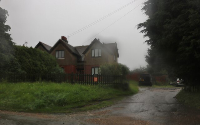
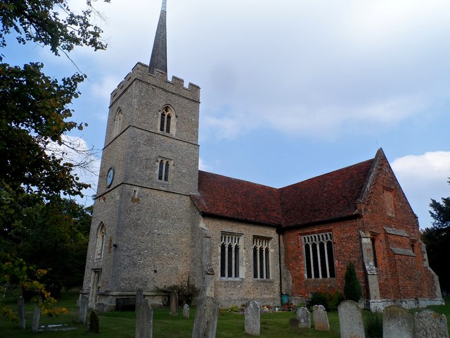
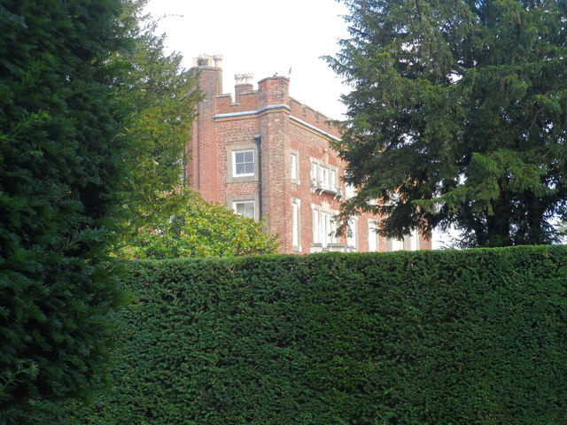
Bury Plantation Images
Images are sourced within 2km of 51.797693/0.047288218 or Grid Reference TL4112. Thanks to Geograph Open Source API. All images are credited.


Bury Plantation is located at Grid Ref: TL4112 (Lat: 51.797693, Lng: 0.047288218)
Administrative County: Hertfordshire
District: East Hertfordshire
Police Authority: Hertfordshire
What 3 Words
///avoid.codes.having. Near Roydon, Essex
Nearby Locations
Related Wikis
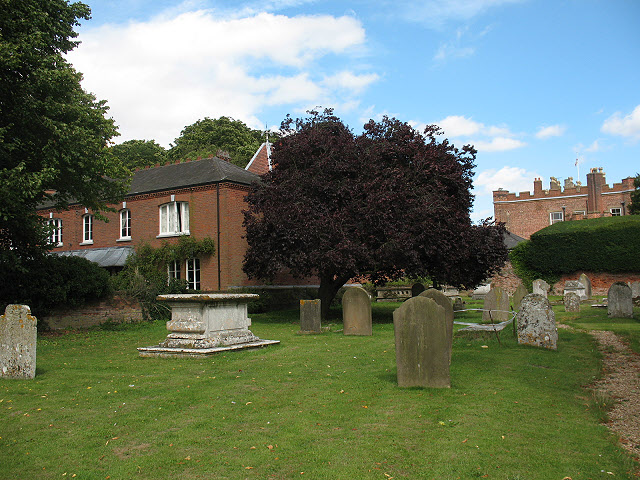
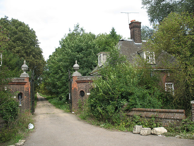
Hunsdon House
Hunsdon House is a historic house in Hunsdon, Hertfordshire, England, northwest of Harlow. Originally constructed in the 15th century, it was most notably...
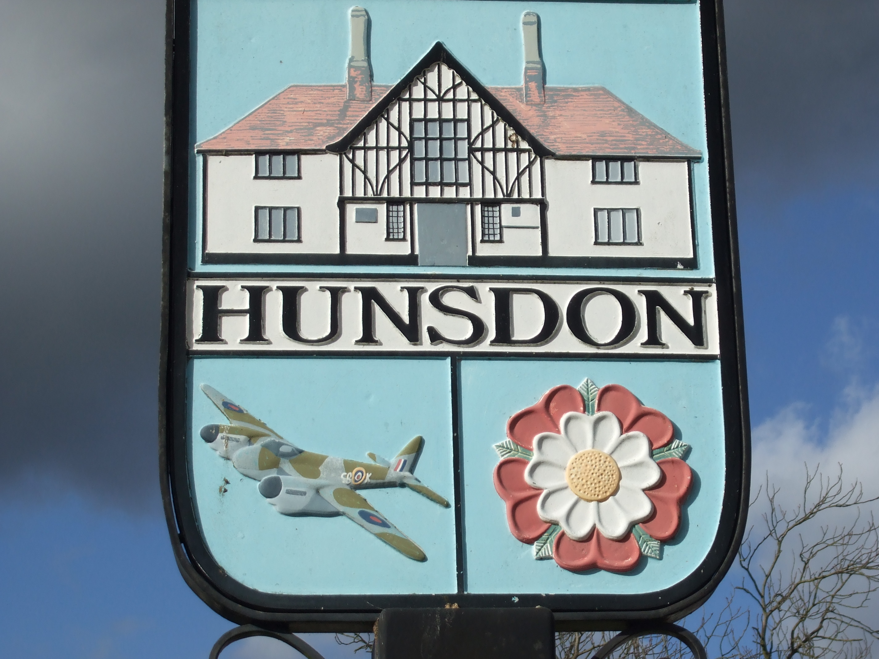
Hunsdon
Hunsdon is a village and civil parish in Hertfordshire, England. It is around 5.5 miles (9 km) east of Ware and 5 miles (8 km) north-west of Harlow. The...
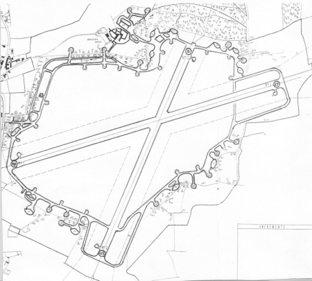
Hunsdon Airfield
Hunsdon Airfield is an airfield near Hunsdon, Hertfordshire and 2.8 miles (4.5 km) north of Harlow, Essex, England. As of 2021, it is used by a local microlight...
Briggens House
Briggens House is a Grade II listed 18th-century house and parklands near the village of Roydon, Essex, England. It has a number of features from the garden...
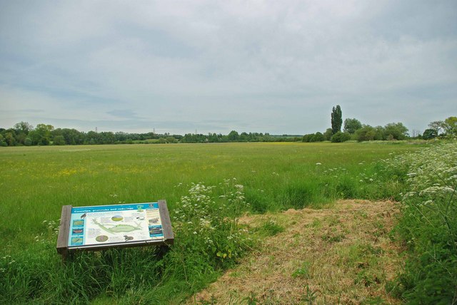
Hunsdon Mead
Hunsdon Mead is a 34 hectare biological Site of Special Scientific Interest (SSSI) west of Harlow and east of Roydon in Essex. The site is partly in Essex...
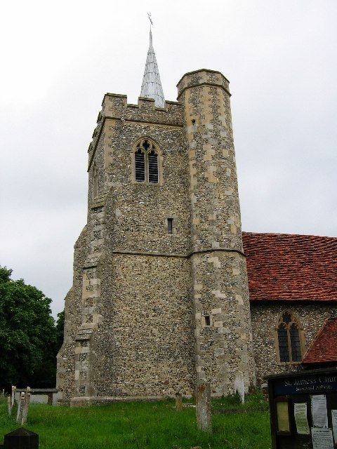
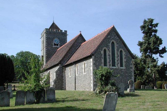
St James' Church, Stanstead Abbotts
St James' Church is a redundant Anglican church near the village of Stanstead Abbotts, Hertfordshire, England. It is recorded in the National Heritage...
Eastwick, Hertfordshire
Eastwick is a village and civil parish 7 miles (11 km) east of Hertford, in the East Hertfordshire district, in the county of Hertfordshire, England. In...

Stanstead Abbotts
Stanstead Abbotts (alternatively Stanstead Abbots) is a village and civil parish in the district of East Hertfordshire, Hertfordshire, England; it lies...
Nearby Amenities
Located within 500m of 51.797693,0.047288218Have you been to Bury Plantation?
Leave your review of Bury Plantation below (or comments, questions and feedback).