Grubstreet Shaw

Wood, Forest in Surrey Tandridge

England

Grubstreet Shaw

Railway bridge over the A25 at Oxted The Oxted to East Grinstead line crosses the main road here, just close to Oxted Station
Railway bridge over the A25 at Oxted Credit: Nigel Freeman

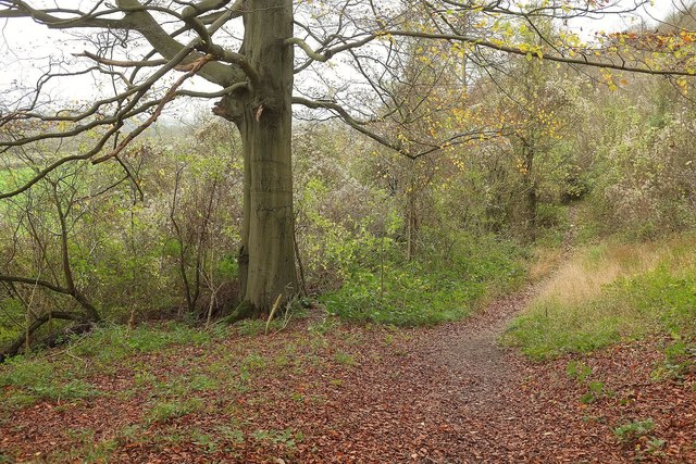
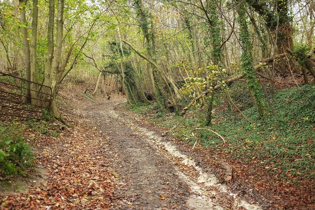
Grubstreet Shaw, located in Surrey, England, is a picturesque woodland area nestled in the heart of the county. Covering a relatively small area, it is known for its natural beauty and peaceful atmosphere, attracting visitors from all over.

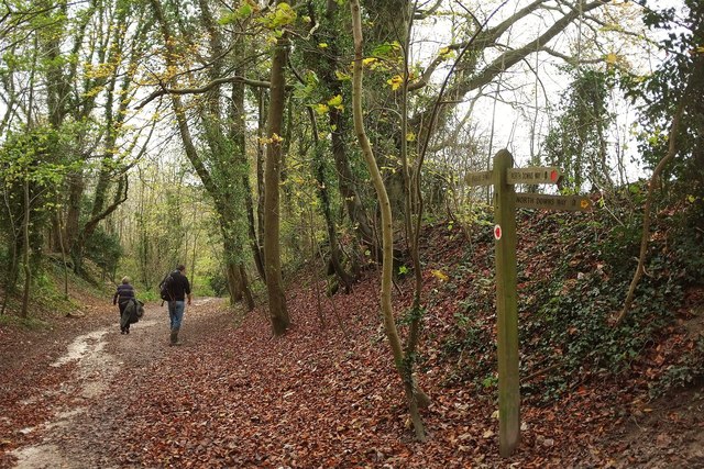
The woodland of Grubstreet Shaw is predominantly made up of dense trees, creating a lush canopy that provides shade and shelter for a variety of wildlife. The area boasts a diverse range of flora and fauna, making it a haven for nature enthusiasts and photographers. From towering oak and beech trees to delicate wildflowers, the woodland offers a stunning display of colors throughout the year.

Tranquil walking trails wind through the forest, allowing visitors to immerse themselves in the natural surroundings. These paths are well-maintained and clearly marked, ensuring that visitors can explore the area with ease. Along the way, walkers may spot a variety of woodland creatures, including squirrels, rabbits, and various bird species.

Grubstreet Shaw also offers opportunities for outdoor activities, such as picnicking, birdwatching, and photography. The peaceful ambiance makes it an ideal spot for relaxation and unwinding from the hustle and bustle of everyday life.

Overall, Grubstreet Shaw in Surrey is a hidden gem for nature lovers and those seeking solace in the beauty of the outdoors. With its abundant wildlife, enchanting trails, and serene atmosphere, it provides a truly rejuvenating experience for all who visit.

If you have any feedback on the listing, please let us know in the comments section below.

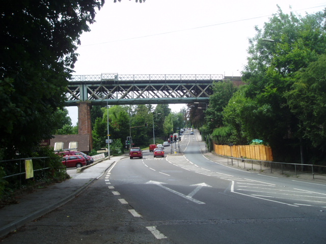
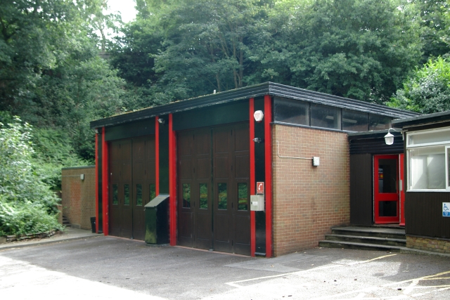
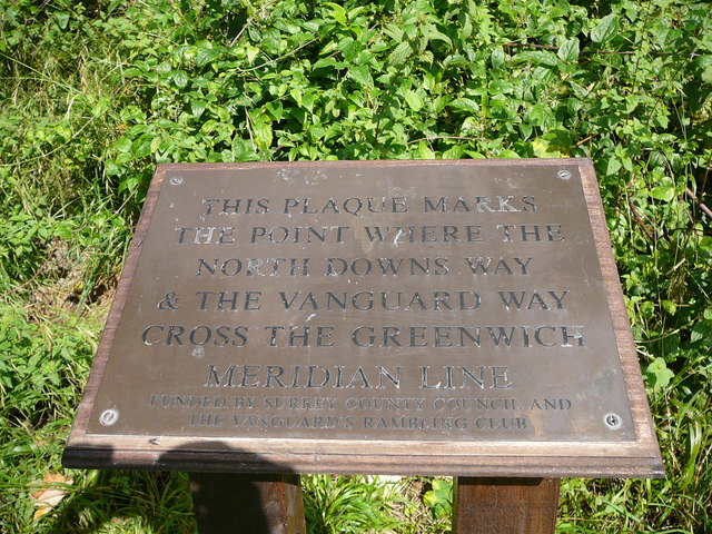
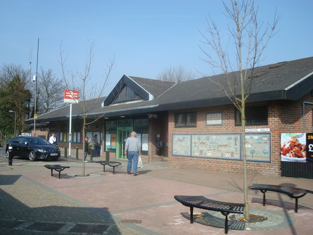
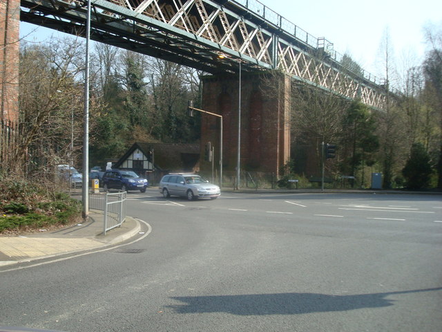
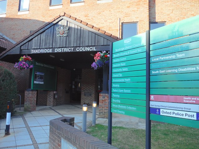
Grubstreet Shaw Images

Images are sourced within 2km of 51.262748/0.021721528 or Grid Reference TQ4153. Thanks to Geograph Open Source API. All images are credited.

Railway bridge over the A25 at Oxted The Oxted to East Grinstead line crosses the main road here, just close to Oxted Station
Railway bridge over the A25 at Oxted
The Oxted to East Grinstead line crosses the main road here, just close to Oxted Station
Oxted fire station Oxted fire station, Potters Sandpit, Oxted, Surrey is easily missed travelling along East Hill - it is tucked away up a small lane.
Oxted fire station
Oxted fire station, Potters Sandpit, Oxted, Surrey is easily missed travelling along East Hill - it is tucked away up a small lane.
The Meridian Line Plaque at a point where the North Downs Way crosses it.
Oxted Railway Station
Railway Bridge over A25, Oxted, Surrey
Southbound Platform, Oxted Station, Surrey Looking north.  A train from London Victoria is just departing.
Southbound Platform, Oxted Station, Surrey
Looking north. A train from London Victoria is just departing.
Sainsbury's Local, Oxted, Surrey With daylight fading, the shop lighting starts to shine brightly. Located on Station Road East.
Sainsbury's Local, Oxted, Surrey
With daylight fading, the shop lighting starts to shine brightly. Located on Station Road East.
Oxted: the main drag Looking south-east from outside Pizza Express.  There's less mock-Tudor along this stretch than elsewhere.  And look at the gas-holder: somebody had the cheek to mock Oxted's mock-Tudor, by plonking that down there.  On the left, in the sunshine:  <a href="https://www.geograph.org.uk/photo/2072059">TQ3952 : Sainsbury's Local, Oxted, Surrey</a>
Oxted: the main drag
Looking south-east from outside Pizza Express. There's less mock-Tudor along this stretch than elsewhere. And look at the gas-holder: somebody had the cheek to mock Oxted's mock-Tudor, by plonking that down there. On the left, in the sunshine: TQ3952 : Sainsbury's Local, Oxted, Surrey
Train in Oxted station Diesel unit 171 801 waits before departing for Uckfield.
Train in Oxted station
Diesel unit 171 801 waits before departing for Uckfield.
Limpsfield : East Hill A25 Looking along East Hill in Limpsfield.
Limpsfield : East Hill A25
Looking along East Hill in Limpsfield.
Oxted : Tandridge District Council Office The district council are based here on Station Road East.
Oxted : Tandridge District Council Office
The district council are based here on Station Road East.
Oxted : Station Road East Looking along Station Road in Oxted.
Oxted : Station Road East
Looking along Station Road in Oxted.
Oxted : Johnsdale A small road leading towards Station Road East.
Oxted : Johnsdale
A small road leading towards Station Road East.
Oxted : East Hill A road heading through the village of Oxted.
Oxted : East Hill
A road heading through the village of Oxted.
View from Titsey Plantation From the red route around the Titsey estate, mid-way up the chalk scarp, looking across fields to the M25.
View from Titsey Plantation
From the red route around the Titsey estate, mid-way up the chalk scarp, looking across fields to the M25.
Path through Titsey Plantation The path (part of the Titsey estate red route) drops as it passes a beech tree.
Path through Titsey Plantation
The path (part of the Titsey estate red route) drops as it passes a beech tree.
Pitchfont Lane On the left is a gate leading onto the red route path along the lower part of Titsey Plantation, which the sunken lane is climbing. In doing so it is following BOAT Limpsfield CP 73 up the chalk scarp, and carrying the North Downs Way.
Pitchfont Lane
On the left is a gate leading onto the red route path along the lower part of Titsey Plantation, which the sunken lane is climbing. In doing so it is following BOAT Limpsfield CP 73 up the chalk scarp, and carrying the North Downs Way.
Pitchfont Lane At the point where the North Downs Way leaves it to turn west along the foot of Titsey Plantation, following Limpsfield footpath CP 575. The Vanguard Way also uses that path, but in the other direction it heads on down the lane (BOAT Limpsfield CP 73). The red waymarks indicate the red walking route through the Titsey estate, though the one pointing up the lane past the camera is a trifle misleading, as it immediately turns left through the gate visible in <a href="https://www.geograph.org.uk/photo/4747162">TQ3954 : Pitchfont Lane</a>, taken from the same spot.
Pitchfont Lane
At the point where the North Downs Way leaves it to turn west along the foot of Titsey Plantation, following Limpsfield footpath CP 575. The Vanguard Way also uses that path, but in the other direction it heads on down the lane (BOAT Limpsfield CP 73). The red waymarks indicate the red walking route through the Titsey estate, though the one pointing up the lane past the camera is a trifle misleading, as it immediately turns left through the gate visible in TQ3954 : Pitchfont Lane, taken from the same spot.
Show me another place!

Grubstreet Shaw is located at Grid Ref: TQ4153 (Lat: 51.262748, Lng: 0.021721528)

Administrative County: Surrey

District: Tandridge

Police Authority: Surrey

What 3 Words

///fund.stocks.slime. Near Oxted, Surrey

Related Wikis

Church of St Peter, Limpsfield

The Anglican Church of St Peter in Limpsfield, Surrey, England dates from the 12th century. It is a Grade I listed building. It is known for the number...

Limpsfield

Limpsfield is a village and civil parish in Surrey, England, at the foot of the North Downs close to Oxted railway station and the A25. The composer Frederick...

Tandridge Priory

Tandridge Priory was a priory in Surrey, England. == History == Tandridge Priory was originally a hospital founded in 1189–99 by Odo de Dammartin, and...

Clacket Lane services

Clacket Lane services is a motorway service station on the M25 motorway midway between junctions 5 and 6, in Surrey, United Kingdom, adjacent to the parish...

Tandridge District

Tandridge is a local government district in east Surrey, England. Its council is based in Oxted, although the largest settlement is Caterham; other notable...

Oxted School

Oxted School is a coeducational secondary school and sixth form located in the English town of Oxted, Surrey. It was opened in 1929 as the first mixed...

Godstone Rural District

Godstone Rural District was a rural district in Surrey, England from 1894 to 1974, covering an area in the south-east of the county. == Origins == The...
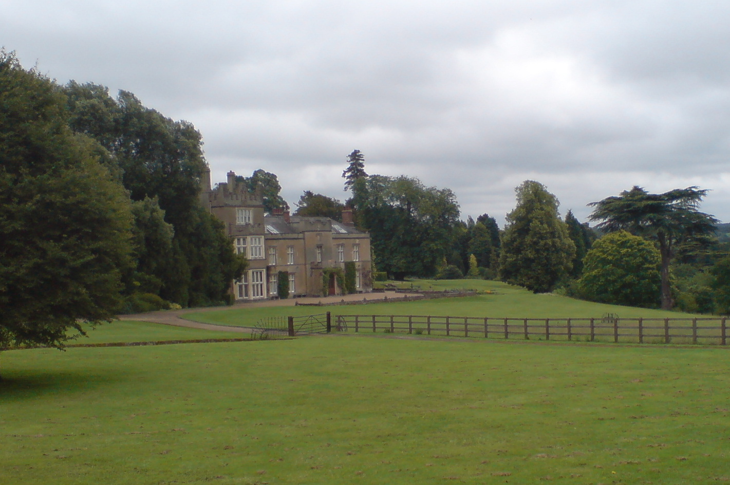
Titsey Place

Titsey Place is an English country house near Oxted in Surrey, England. It was successively the seat of the Gresham and Leveson-Gower families and is now...

Nearby Amenities

Located within 500m of 51.262748,0.021721528
Hookwood
Building: yes
Created By: Potlatch 0.10d
Source: npe
Wikidata: Q26658091
Lat/Long: 51.2621209/0.0177775
Bench
Lat/Long: 51.2586278/0.0199194
Post Box
Collection Times: Mo-Fr 09:00; Sa 07:00
Operator: Royal Mail
Post Box Mounting: pier
Post Box Type: lamp
Ref: RH8 255D
Royal Cypher: EIIR
Royal Cypher Wikidata: Q33102113
Lat/Long: 51.2606157/0.0221872
Information: guidepost
Tourism: information
Lat/Long: 51.2592194/0.020825
Information: guidepost
Tourism: information
Lat/Long: 51.2599222/0.0197611
The data included in this document is from www.openstreetmap.org. The data is made available under ODbL.

Have you been to Grubstreet Shaw?

Leave your review of Grubstreet Shaw below (or comments, questions and feedback).