Knighton Wood

Wood, Forest in Essex

England

Knighton Wood

The River Ching Just about a mile from Chingford I was surprised at how small the river Ching was when I came across it walking section 19 of the London Loop.  It is the river that gives Chingford its name.
The River Ching Credit: Claire Ward

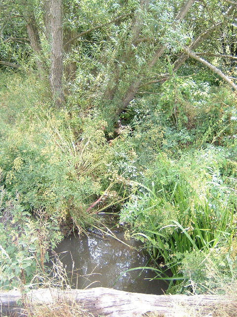
Knighton Wood is a captivating forest located in Essex, England. Spanning across a vast area, it is a haven for nature enthusiasts and wildlife lovers alike. With its rich biodiversity and stunning landscape, Knighton Wood offers visitors a unique experience in the heart of nature.

The wood is predominantly composed of oak trees, creating a dense canopy that provides shade and shelter for various species of flora and fauna. The forest floor is adorned with a vibrant carpet of bluebells in the spring, creating a breathtaking sight for visitors. The wood is also home to an array of other plant species, including wildflowers, ferns, and mosses.

For wildlife enthusiasts, Knighton Wood is a paradise. The forest supports a diverse ecosystem, hosting a wide range of animals and birds. Various species of mammals, such as deer, foxes, and badgers, roam freely within the wood. Birdwatchers can spot a variety of feathered creatures, including woodpeckers, owls, and thrushes.

The wood offers ample opportunities for outdoor activities and exploration. There are several walking trails and paths that wind through the forest, allowing visitors to immerse themselves in the tranquility of nature. The forest is also equipped with picnic areas and benches, providing a perfect spot for relaxation and family outings.

Knighton Wood is not only a place of natural beauty but also plays an essential role in conservation efforts. It is protected under the Essex County Council's Woodland Management Plan, ensuring the preservation of its unique flora and fauna for future generations to enjoy.

Overall, Knighton Wood is a true gem in the Essex countryside, offering a peaceful retreat for nature lovers and a chance to reconnect with the natural world.

If you have any feedback on the listing, please let us know in the comments section below.

Knighton Wood Images

Images are sourced within 2km of 51.619051/0.034253764 or Grid Reference TQ4093. Thanks to Geograph Open Source API. All images are credited.

The River Ching Just about a mile from Chingford I was surprised at how small the river Ching was when I came across it walking section 19 of the London Loop.  It is the river that gives Chingford its name.
The River Ching
Just about a mile from Chingford I was surprised at how small the river Ching was when I came across it walking section 19 of the London Loop. It is the river that gives Chingford its name.
The Central Line looking south towards Buckhurst Hill Halfway up the right side of the grid square.  Taken from the footbridge over the Central Line (where it runs above ground), this was the worst part of my walk along section 19 of the London Loop, the bridge was grey, caged in overhead and covered with graffiti. Just as well I had a small lens as I had to poke it through the mesh.
The Central Line looking south towards Buckhurst Hill
Halfway up the right side of the grid square. Taken from the footbridge over the Central Line (where it runs above ground), this was the worst part of my walk along section 19 of the London Loop, the bridge was grey, caged in overhead and covered with graffiti. Just as well I had a small lens as I had to poke it through the mesh.
Walking the Loop Running west-east across the middle of the grid square.  Part of section 19 of the London Loop.  An ancient cattle drove, probably first used some 2000 years ago but the practice of driving livestock between pastures died out in the 19th century.
Walking the Loop
Running west-east across the middle of the grid square. Part of section 19 of the London Loop. An ancient cattle drove, probably first used some 2000 years ago but the practice of driving livestock between pastures died out in the 19th century.
Knighton Woods Pond Man made pond which was part of the Knighton Estate before being incorporated into Epping Forest
Knighton Woods Pond
Man made pond which was part of the Knighton Estate before being incorporated into Epping Forest
Lords Bushes Pond Pond on the old Knightons estate now part of Epping Forest
Lords Bushes Pond
Pond on the old Knightons estate now part of Epping Forest
Woodford Green village sign Essex villages traditionally have village signs; Woodford Green (really a London suburb) recently acquired its own. The Green is part of the ancient Epping Forest and is the oldest village cricket field still in regular use. The sign depicts significant local images; cows grazing on the Green as of long tradition; Sir Winston Churchill, for many years the local MP (his statue shown in <a href="https://www.geograph.org.uk/gridref/TQ3991">TQ3991</a> is at the far end of the Green); cricket and the church.
Woodford Green village sign
Essex villages traditionally have village signs; Woodford Green (really a London suburb) recently acquired its own. The Green is part of the ancient Epping Forest and is the oldest village cricket field still in regular use. The sign depicts significant local images; cows grazing on the Green as of long tradition; Sir Winston Churchill, for many years the local MP (his statue shown in TQ3991 is at the far end of the Green); cricket and the church.
Woodford Green Broadway The growth of Woodford Green started with the arrival of the railway in 1856 (now the Central Line tube).  The handsome parade of shops at the Broadway, opposite the station, is now a Conservation area.  The small green in front was named Pankhurst Green in 1995 after the writer and campaigner Sylvia Pankhurst (daughter of the suffragette Emmeline Pankhurst) who lived nearby from 1924 to 1956.
Woodford Green Broadway
The growth of Woodford Green started with the arrival of the railway in 1856 (now the Central Line tube). The handsome parade of shops at the Broadway, opposite the station, is now a Conservation area. The small green in front was named Pankhurst Green in 1995 after the writer and campaigner Sylvia Pankhurst (daughter of the suffragette Emmeline Pankhurst) who lived nearby from 1924 to 1956.
Potato Pond, Woodford Green Potato Pond alongside the old A11, Woodford High Road, is so called as it was used to wash potatoes being brought by farmers from East Anglia to the London markets. Behind is the old British Legion hall, now converted to apartments.
Potato Pond, Woodford Green
Potato Pond alongside the old A11, Woodford High Road, is so called as it was used to wash potatoes being brought by farmers from East Anglia to the London markets. Behind is the old British Legion hall, now converted to apartments.
Knighton Wood in winter Knighton Wood with the adjacent Lords Bushes forms a small isolated patch of Epping Forest, surrounded by housing.  It was enclosed in the nineteenth century from the forest to form the ornamental gardens of Knighton House, the home of the Buxton family, and returned to the Forest in 1930.
Knighton Wood in winter
Knighton Wood with the adjacent Lords Bushes forms a small isolated patch of Epping Forest, surrounded by housing. It was enclosed in the nineteenth century from the forest to form the ornamental gardens of Knighton House, the home of the Buxton family, and returned to the Forest in 1930.
Kings Avenue, Woodford Green Looking south in Kings Avenue. The car in the centre is crossing the border from the London Borough of Redbridge into Epping Forest District. The tower block in the distance is Tamar Square, adjacent to Woodford tube station.
Kings Avenue, Woodford Green
Looking south in Kings Avenue. The car in the centre is crossing the border from the London Borough of Redbridge into Epping Forest District. The tower block in the distance is Tamar Square, adjacent to Woodford tube station.
All Saints Church, Inmans Row, Woodford Green Looking north across the Green to the church, built 1874. The old A11 (now A104) is immediately to the photographers left.
All Saints Church, Inmans Row, Woodford Green
Looking north across the Green to the church, built 1874. The old A11 (now A104) is immediately to the photographers left.
Roding Valley viaduct Few stretches of the London tube network are as rural as the Woodford to Hainault branch of the Central Line. Here a train crosses the viaduct over the River Roding, not far from Roding Valley station.  This line was built by the Eastern Counties railway in the mid nineteenth century and became part of the Central Line about a hundred years later.
Roding Valley viaduct
Few stretches of the London tube network are as rural as the Woodford to Hainault branch of the Central Line. Here a train crosses the viaduct over the River Roding, not far from Roding Valley station. This line was built by the Eastern Counties railway in the mid nineteenth century and became part of the Central Line about a hundred years later.
M11 Motorway and River Roding, Woodford Bridge Here the M11 (centre and right) runs alongside the River Roding.  The view is looking north from the footbridge which connects Ray Lodge park with the riverside path on the east bank. The blue speck in the centre (by the poplar tree) is the Essex county boundary sign
M11 Motorway and River Roding, Woodford Bridge
Here the M11 (centre and right) runs alongside the River Roding. The view is looking north from the footbridge which connects Ray Lodge park with the riverside path on the east bank. The blue speck in the centre (by the poplar tree) is the Essex county boundary sign
Ray Lodge Park, Woodford Bridge Looking east over the River Roding and M11 motorway to the ridge where Chigwell lies.  The footbridge over the river, from which the view in <a href="https://www.geograph.org.uk/gridref/TQ4292">TQ4292</a> was taken, can be seen just to the left of the tree
Ray Lodge Park, Woodford Bridge
Looking east over the River Roding and M11 motorway to the ridge where Chigwell lies. The footbridge over the river, from which the view in TQ4292 was taken, can be seen just to the left of the tree
Roding Valley Junction Here the Hainault loop line joins the main Epping branch of the Central Line.  The view is to the south and train is travelling south towards Woodford and London. The branch line to the left leads to Roding Valley station and the viaduct shown in <a href="https://www.geograph.org.uk/gridref/TQ4293">TQ4293</a>, then to Grange Hill, Hainault and Newbury Park, rejoining the main line at Leytonstone.
Roding Valley Junction
Here the Hainault loop line joins the main Epping branch of the Central Line. The view is to the south and train is travelling south towards Woodford and London. The branch line to the left leads to Roding Valley station and the viaduct shown in TQ4293, then to Grange Hill, Hainault and Newbury Park, rejoining the main line at Leytonstone.
Bancroft's School, Woodford Wells Bancroft's was founded by the Drapers Company in 1727 and moved to its present imposing building in 1889. The arch under the red brick tower leads to the quadrangle and chapel.
Bancroft's School, Woodford Wells
Bancroft's was founded by the Drapers Company in 1727 and moved to its present imposing building in 1889. The arch under the red brick tower leads to the quadrangle and chapel.
Water pump and duck pond, Woodford Green The old water pump and Johnson's Pond, next to High Road, Woodford Green
Water pump and duck pond, Woodford Green
The old water pump and Johnson's Pond, next to High Road, Woodford Green
Frosty morning, Woodford Green Johnson's pond and Woodford High Road on a bright and frosty morning
Frosty morning, Woodford Green
Johnson's pond and Woodford High Road on a bright and frosty morning
Show me another place!

Knighton Wood is located at Grid Ref: TQ4093 (Lat: 51.619051, Lng: 0.034253764)

Unitary Authority: Redbridge

Police Authority: Metropolitan

What 3 Words

///salads.study.tinsel. Near Buckhurst Hill, Essex

Related Wikis

Woodford Wells

Woodford Wells is a small settlement on the edge of Epping Forest, in Woodford, East London. The area lies about 9.5 miles (15.3 km) north-east of Charing...

Monkhams

Monkhams is an area in Woodford in the London Borough of Redbridge. The Monkhams Estate is an affluent area consisting mainly of large, detached homes...

Anti–Air War Memorial

The Anti–Air War Memorial is located in Woodford Green, London, England. It was commissioned and erected by the socialist suffragist Sylvia Pankhurst in...

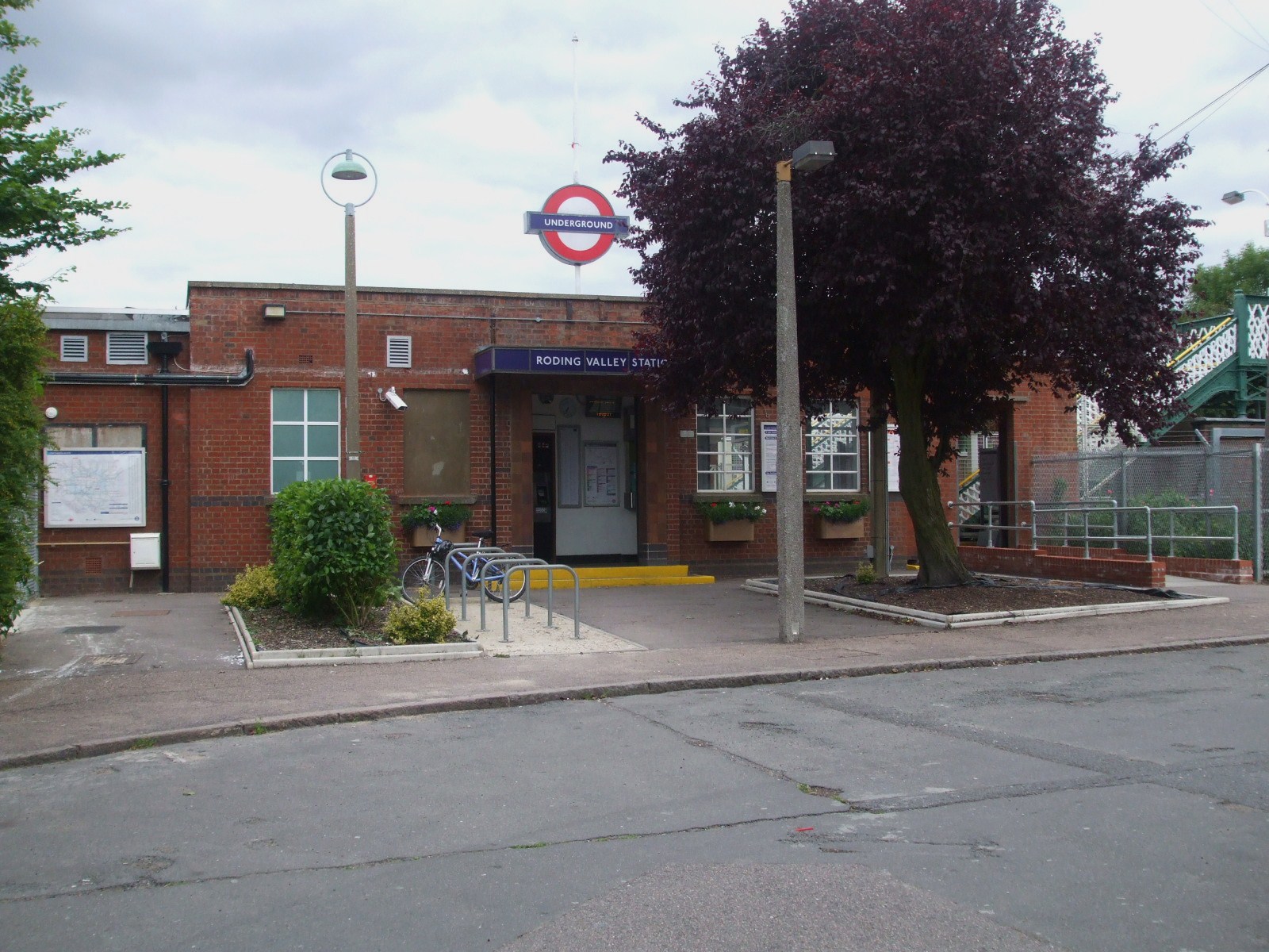
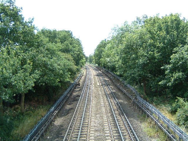
Roding Valley tube station

Roding Valley is a London Underground station situated in Buckhurst Hill in the Epping Forest district of Essex, straddling the boundary between that council...

Buckhurst Hill West (ward)

Buckhurst Hill West is an electoral ward in Epping Forest, UK and is one of two wards that represent Buckhurst Hill. Buskhurst Hill West has three seats...

St Thomas of Canterbury Church, Woodford Green

St Thomas of Canterbury Church is a Roman Catholic parish church in Woodford Green, Woodford, London. It was built from 1895 to 1896, was designed by Alexander...

Trinity Catholic High School, Woodford Green

Trinity Catholic High School is an 11–18 mixed, Roman Catholic, voluntary aided school and sixth form in Woodford Green, Greater London, England. It was...

Buckhurst Hill East (ward)

Buckhurst Hill East is an electoral ward in Epping Forest, UK and is one of two wards that represent Buckhurst Hill. The present councillors for this ward...

Nearby Amenities

Located within 500m of 51.619051,0.034253764
Post Box
Created By: Potlatch 0.10f
Ref: IG9 85
Lat/Long: 51.6190449/0.0403073
Post Box
Created By: Potlatch 0.10f
Ref: IG8 69
Lat/Long: 51.6202173/0.0291493
Bus Stop
Knighton Lane
Bus: yes
Local Ref: FN
Naptan AtcoCode: 490008871S
Naptan Bearing: S
Naptan CommonName: Knighton Lane
Naptan Indicator: Stop FN
Naptan Verified: no
Public Transport: platform
Ref: 76121
Lat/Long: 51.6225956/0.0300007
Bus Stop
Whitehall Road / Bancroft School
Bus: yes
Local Ref: FD
Naptan AtcoCode: 490014589S
Naptan Bearing: S
Naptan CommonName: Bancroft's SchoolWhitehall Rd
Naptan Indicator: Stop FP
Naptan Street: HIGH ROAD
Naptan Verified: no
Public Transport: platform
Ref: 50080
Lat/Long: 51.6192357/0.0273397
Note: Additional node marks deviation of Low Emission Zone.
Lat/Long: 51.6229759/0.031609
Give Way
Direction: backward
Traffic Sign: GB:1003A
Lat/Long: 51.6204286/0.0278257
Give Way
Direction: forward
Traffic Sign: GB:1003A
Lat/Long: 51.6195349/0.0274362
Bicycle Parking
Bicycle Parking: stands
Capacity: 4
Covered: no
Fixme: Check exact location
Lat/Long: 51.6179423/0.0374622
Post Box
Operator: Royal Mail
Operator Wikidata: Q638098
Post Box Type: pillar
Lat/Long: 51.6169653/0.0328798
Post Box
Operator: Royal Mail
Operator Wikidata: Q638098
Post Box Type: pillar
Lat/Long: 51.6153249/0.037552
The data included in this document is from www.openstreetmap.org. The data is made available under ODbL.

Have you been to Knighton Wood?

Leave your review of Knighton Wood below (or comments, questions and feedback).