The Wilderness
Wood, Forest in Hertfordshire East Hertfordshire
England
The Wilderness
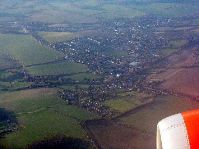
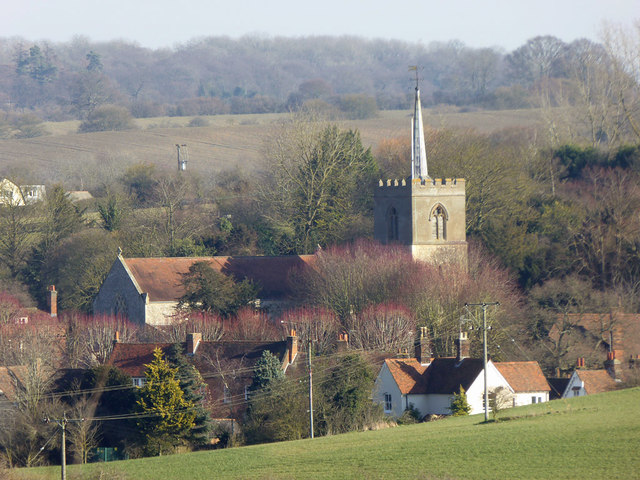
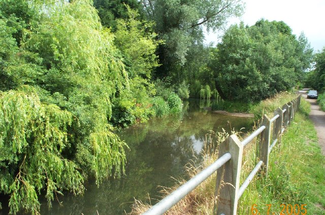
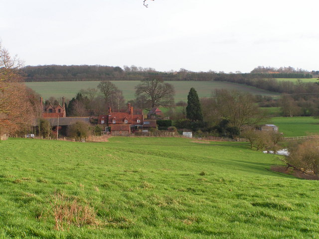
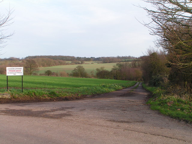
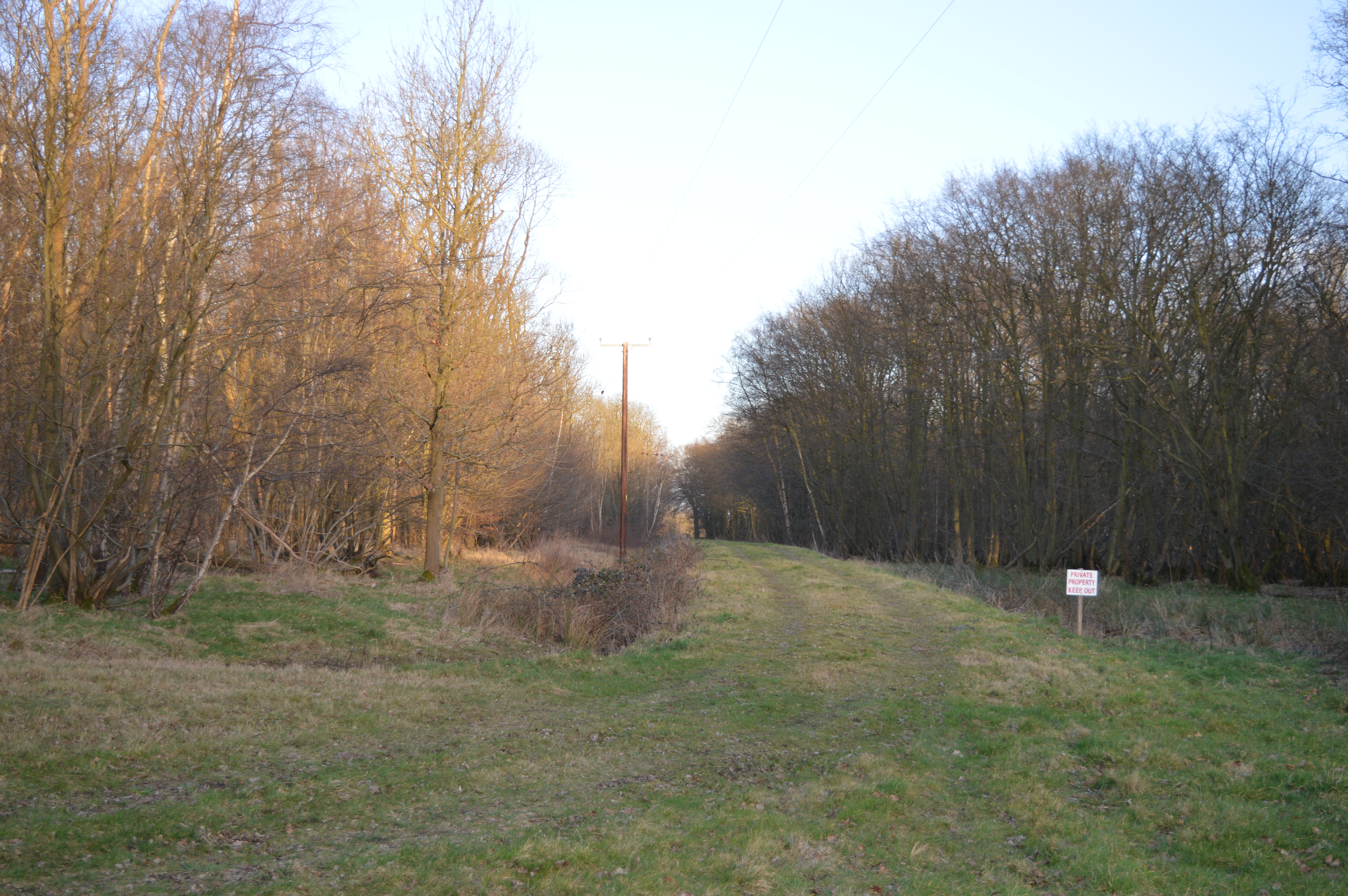
The Wilderness, located in Hertfordshire, England, is a vast and enchanting woodland area that spans over several acres. It is a popular destination for nature enthusiasts, hikers, and those seeking a tranquil retreat away from the hustle and bustle of city life. The Wilderness is known for its dense and ancient forest, which is home to a diverse range of flora and fauna.
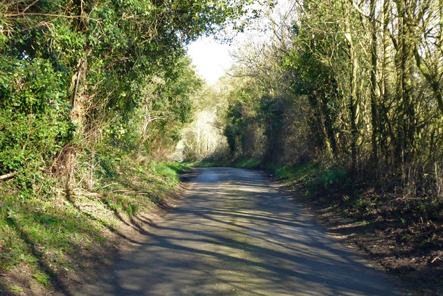
This woodland is characterized by its towering oak, beech, and birch trees that create a beautiful canopy, casting dappled sunlight onto the forest floor. The ground is covered with a thick layer of moss, creating a soft and cushioned path for visitors to explore. The Wilderness is also home to a variety of wildlife, including deer, foxes, and numerous species of birds.
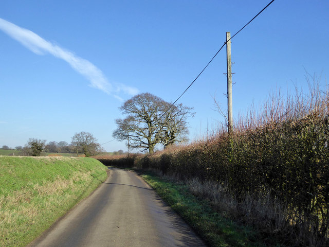
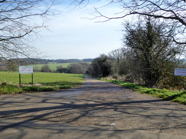
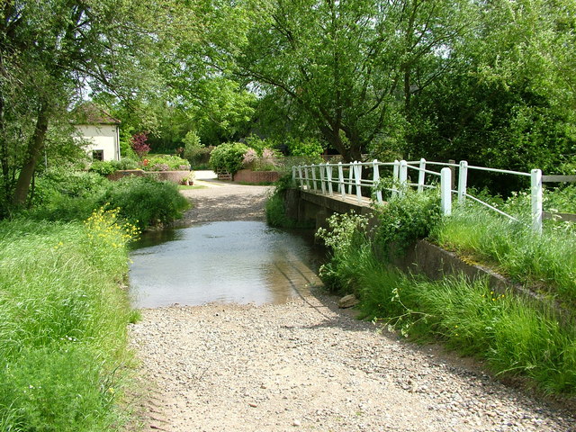
The forest is crisscrossed by a network of well-maintained walking trails, allowing visitors to explore the area and discover its hidden gems. The trails wind through the forest, passing by babbling brooks, small ponds, and picturesque clearings. Along the way, visitors may encounter wooden benches and picnic spots, offering a perfect opportunity to relax and soak in the serene ambiance.
The Wilderness is open to the public year-round, and each season brings its own unique charm. In spring, the forest comes alive with vibrant wildflowers and the sounds of birdsong. Summer brings a lush green canopy, providing a cool and shaded escape from the heat. Autumn transforms the forest into a fiery display of red, orange, and gold, as the leaves change color. And in winter, the forest takes on a peaceful and magical atmosphere, with frost-covered branches and a quiet stillness.
Overall, The Wilderness in Hertfordshire is a natural haven that offers a tranquil and immersive experience in the heart of nature.
If you have any feedback on the listing, please let us know in the comments section below.
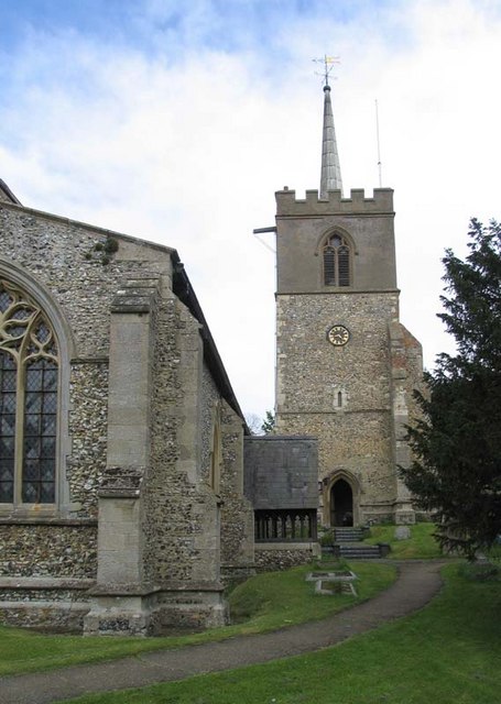
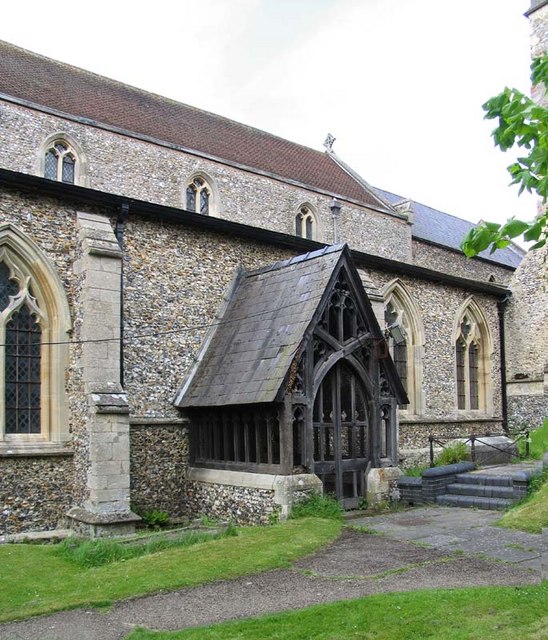
The Wilderness Images
Images are sourced within 2km of 51.867981/0.041385723 or Grid Reference TL4020. Thanks to Geograph Open Source API. All images are credited.
The Wilderness is located at Grid Ref: TL4020 (Lat: 51.867981, Lng: 0.041385723)
Administrative County: Hertfordshire
District: East Hertfordshire
Police Authority: Hertfordshire
What 3 Words
///face.spin.keeps. Near Much Hadham, Hertfordshire
Nearby Locations
Related Wikis

Wellpond Green
Wellpond Green is a hamlet near the A120 road and the town of Bishop's Stortford, in the county of Hertfordshire, England. Wellpond Green contains 4 listed...
Standon Preceptory
Standon Preceptory was a Knights Hospitaller foundation in the parish of Standon, in the county of Hertfordshire, England. It was founded before 1154,...

Standon, Hertfordshire
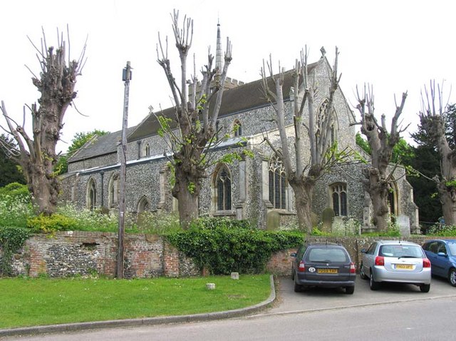
Standon is a village and civil parish in Hertfordshire, England. The parish includes the adjoining village of Puckeridge. The village church of St Mary...

Standon railway station
Standon railway station served the village of Standon, Hertfordshire, England, from 1863 to 1965 on the Buntingford branch line. == History == The station...

Moor Place, Hertfordshire
Moor Place is a country house within the civil parish of Much Hadham, in the East Hertfordshire district, in the county of Hertfordshire, England. It is...
Plashes Wood
Plashes Wood is a 71.9-hectare (178-acre) biological Site of Special Scientific Interest south of Standon in Hertfordshire. The local planning authority...
Braughing Friars
Braughing Friars is a hamlet in Hertfordshire, England. It is in the civil parish of Braughing. == External links == Media related to Braughing Friars...
Much Hadham
Much Hadham, formerly known as Great Hadham, is a village and civil parish in the district of East Hertfordshire, Hertfordshire, England. The parish of...
Nearby Amenities
Located within 500m of 51.867981,0.041385723Have you been to The Wilderness?
Leave your review of The Wilderness below (or comments, questions and feedback).