The Shaw

Wood, Forest in Sussex Mid Sussex

England

The Shaw

The old houses and shops at East Grinstead The top end of East Grinstead has not changed much for 100s of years. Many of the wood framed buildings still stand and the Town Church dominates.
The old houses and shops at East Grinstead Credit: Nigel Freeman

The Shaw, Sussex, also known as the Wood or Forest, is a picturesque area located in the county of Sussex, England. Spread across a vast expanse of land, The Shaw is a renowned natural spot, famous for its enchanting woodland and captivating scenery.

The Shaw boasts a diverse range of tree species, including oak, beech, birch, and chestnut, creating a rich and vibrant ecosystem. The dense foliage provides a haven for various wildlife, including deer, foxes, rabbits, and numerous bird species. Nature enthusiasts and wildlife photographers are often drawn to this area for its abundant fauna and flora.

The woodland is crisscrossed by a network of walking trails, allowing visitors to explore the area at their own pace. These paths offer a chance to immerse oneself in the tranquility of nature and soak up the beauty of the surroundings. The Shaw is also home to several picnic areas, where visitors can relax and enjoy a meal amidst the peaceful ambiance of the forest.

In addition to its natural wonders, The Shaw also holds historical significance. The area is believed to have been inhabited since ancient times, with remnants of ancient settlements and burial mounds discovered in the vicinity. Archaeological enthusiasts can explore these historical sites and gain insights into the region's past.

Overall, The Shaw, Sussex (Wood, Forest) is a captivating destination that combines natural beauty with historical significance. Whether it's for a peaceful walk, wildlife spotting, or an exploration of ancient history, The Shaw offers a memorable experience for all who visit.

If you have any feedback on the listing, please let us know in the comments section below.
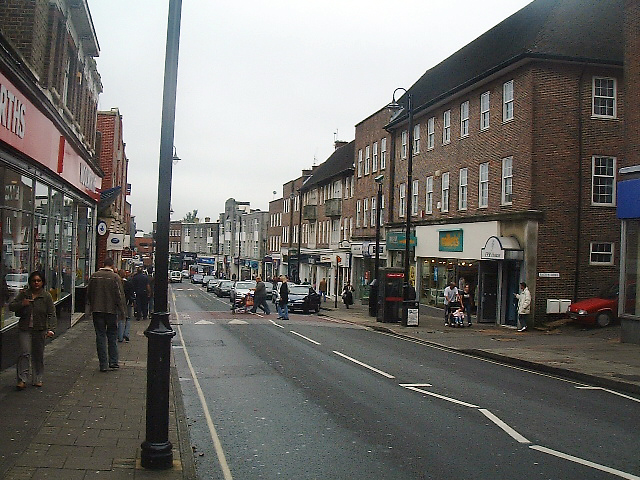
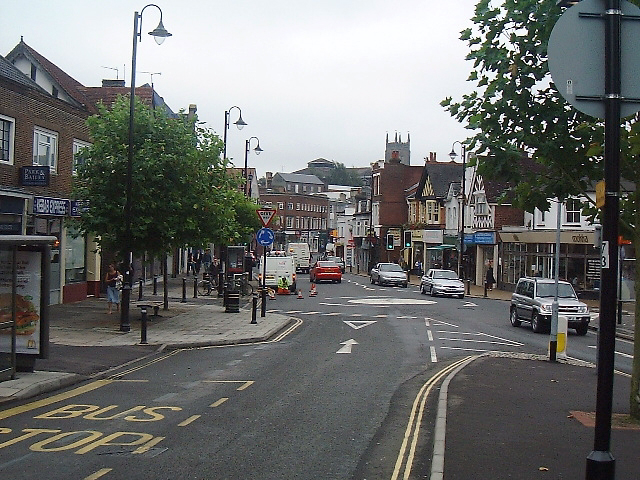
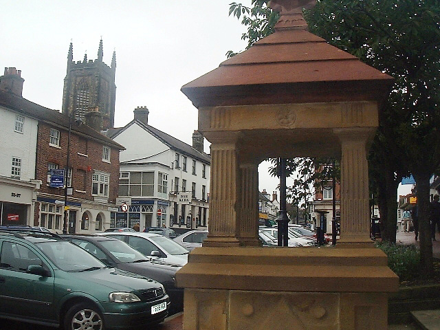
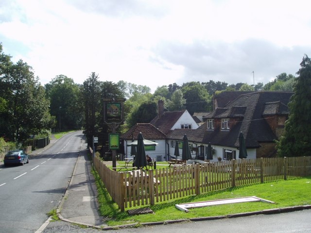
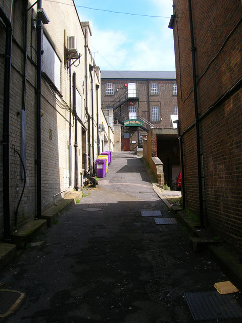
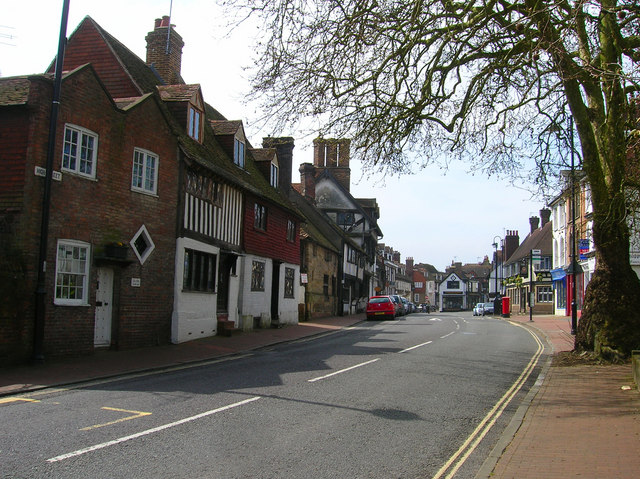
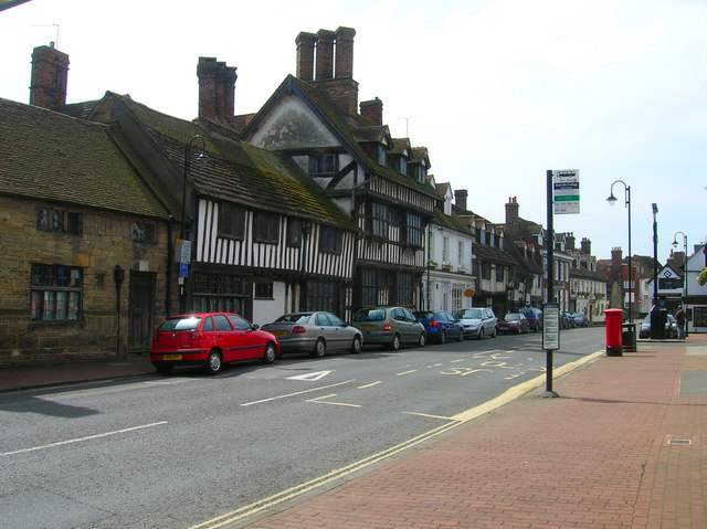
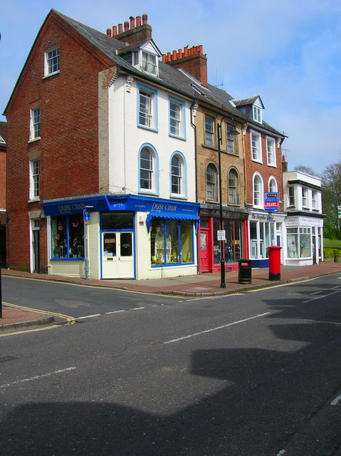
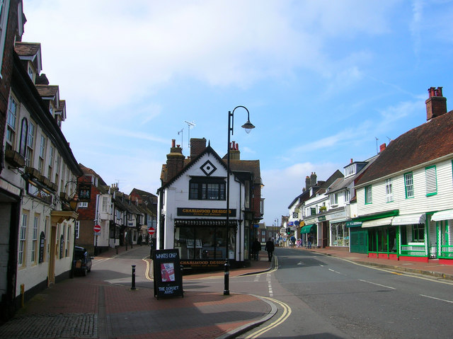
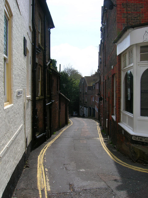
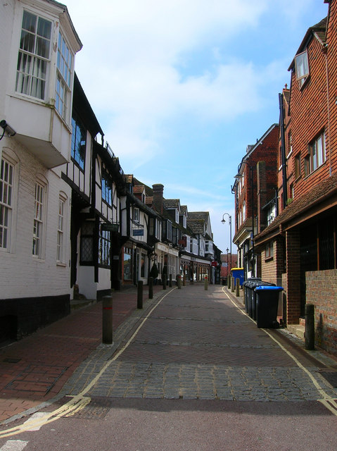
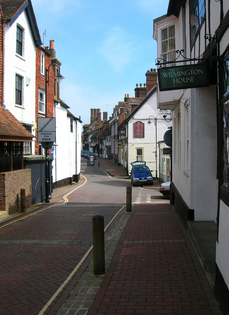
The Shaw Images

Images are sourced within 2km of 51.115132/0.007784434 or Grid Reference TQ4037. Thanks to Geograph Open Source API. All images are credited.

The old houses and shops at East Grinstead The top end of East Grinstead has not changed much for 100s of years. Many of the wood framed buildings still stand and the Town Church dominates.
The old houses and shops at East Grinstead
The top end of East Grinstead has not changed much for 100s of years. Many of the wood framed buildings still stand and the Town Church dominates.
Sackville College. East Grinstead Originally built as Almshouses in 1609
Sackville College. East Grinstead
Originally built as Almshouses in 1609
Clarendon House Typical timber frame building in East Grinstead used as offices.
Clarendon House
Typical timber frame building in East Grinstead used as offices.
Post Office The high street leads up from the Post Office building which is the imposing red brick one.
Post Office
The high street leads up from the Post Office building which is the imposing red brick one.
Town shops Looking down the high street towards the north. Woolworths on the left.
Town shops
Looking down the high street towards the north. Woolworths on the left.
The Broadway Entering East Grinstead centre from the south
The Broadway
Entering East Grinstead centre from the south
Water Fountain Erected in 1887, to mark Queen Victoria’s Golden Jubilee, is now dry.
Water Fountain
Erected in 1887, to mark Queen Victoria’s Golden Jubilee, is now dry.
The Old Mill The Old Mill (formerly Dunnings Mill) is a Harveys of Lewes public house.
The Old Mill
The Old Mill (formerly Dunnings Mill) is a Harveys of Lewes public house.
Whitehall, East Grinstead What was once a rather stylish Art Deco shopping parade has been rather spoilt by modern indifference.
Whitehall, East Grinstead
What was once a rather stylish Art Deco shopping parade has been rather spoilt by modern indifference.
The Old Mill, London Road Set back from London Road and home to a number of small businesses.
The Old Mill, London Road
Set back from London Road and home to a number of small businesses.
High Street The eastern approach to the old Wealden market town's main street which was laid out in the 13th century. The main buildings in view are the Old Lockup a former 19th century police station and Porch House a 16th century cottage followed by the 15th century Cromwell House. In the distance the wide street has had shops built in the middle probably on older market plots.
High Street
The eastern approach to the old Wealden market town's main street which was laid out in the 13th century. The main buildings in view are the Old Lockup a former 19th century police station and Porch House a 16th century cottage followed by the 15th century Cromwell House. In the distance the wide street has had shops built in the middle probably on older market plots.
Cromwell House, High Street Built in 1599 for Thomas Payne a local ironmaster. Destroyed by fire in 1928 but meticulously restored over the following year.
Cromwell House, High Street
Built in 1599 for Thomas Payne a local ironmaster. Destroyed by fire in 1928 but meticulously restored over the following year.
High Street Small row of shops between Church Lane on the left and the gardens of Sackville College on the far right. Built in the mid 1850s the middle one has an old frontage proclaiming it to be NH Pearson, cycle designer, est.1893, with what looks like a replica display from that era. The shadows on the street are made by Cromwell House.
High Street
Small row of shops between Church Lane on the left and the gardens of Sackville College on the far right. Built in the mid 1850s the middle one has an old frontage proclaiming it to be NH Pearson, cycle designer, est.1893, with what looks like a replica display from that era. The shadows on the street are made by Cromwell House.
Middle Row The wide High Street has been subdivided at this point with the main portion of the road going right and the smaller Middle Row to the left. The middle of the road was built on around the 15th century probably on the site of older market stalls. The building immediately to the left is the Dorset Arms which dates from 1705. Much of the High Street contains old buildings from the 14th to 18th century.
Middle Row
The wide High Street has been subdivided at this point with the main portion of the road going right and the smaller Middle Row to the left. The middle of the road was built on around the 15th century probably on the site of older market stalls. The building immediately to the left is the Dorset Arms which dates from 1705. Much of the High Street contains old buildings from the 14th to 18th century.
Hermitage Lane Small lane heading south from the High Street its slope giving an indication of East Grinstead's main street being built on a Wealden ridge.
Hermitage Lane
Small lane heading south from the High Street its slope giving an indication of East Grinstead's main street being built on a Wealden ridge.
Middle Row Taken from the junction with Portland Road. Some of the houses date from the 1350s and have often been expanded during other periods, Wilmington House, the first on the left, has an Elizabethan east wing grafted onto an older 14th century hall house that dates from around 1352. The buildings on the right are the rear parts of the shops on High Street.
Middle Row
Taken from the junction with Portland Road. Some of the houses date from the 1350s and have often been expanded during other periods, Wilmington House, the first on the left, has an Elizabethan east wing grafted onto an older 14th century hall house that dates from around 1352. The buildings on the right are the rear parts of the shops on High Street.
Middle Row Looking back towards the High Street with the Dorset Arms beyond the blue car and the chimney stacks of Cromwell House in the distance.
Middle Row
Looking back towards the High Street with the Dorset Arms beyond the blue car and the chimney stacks of Cromwell House in the distance.
Crown House, High Street Containing Bar Kuba and the offices of the local paper. Built in the 19th century but the name records an even older inn of 1502. Behind the shops and offices is the tower of St Swithuns church erected in 1812 after the previous tower collapsed and destroyed the 14th century church in 1785.
Crown House, High Street
Containing Bar Kuba and the offices of the local paper. Built in the 19th century but the name records an even older inn of 1502. Behind the shops and offices is the tower of St Swithuns church erected in 1812 after the previous tower collapsed and destroyed the 14th century church in 1785.
Show me another place!

The Shaw is located at Grid Ref: TQ4037 (Lat: 51.115132, Lng: 0.007784434)

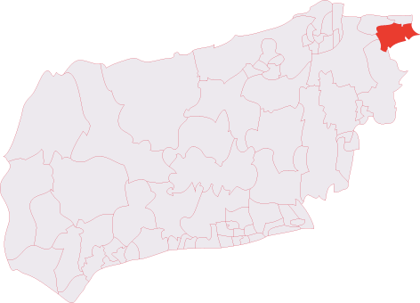
Administrative County: West Sussex

District: Mid Sussex

Police Authority: Sussex

What 3 Words

///trifle.sandpaper.joined. Near East Grinstead, West Sussex

Nearby Locations

The Shaw

Related Wikis

Three Bridges–Tunbridge Wells line

The Three Bridges–Tunbridge Wells line is a mostly disused railway line running from Three Bridges (on the Brighton Main Line) in West Sussex to Tunbridge...

Brambletye School

Brambletye School is a coeducational day and boarding preparatory school in East Grinstead, West Sussex. It was founded as a small boys' boarding school...

Sackville School, East Grinstead

Sackville School is a coeducational secondary school and sixth form located in East Grinstead, England. In 2020, the number of students was approximately...

East Grinstead South & Ashurst Wood (electoral division)

East Grinstead South & Ashurst Wood is an electoral division of West Sussex in the United Kingdom, and returns one member to sit on West Sussex County...
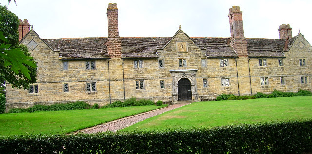
Sackville College

Sackville College is a Jacobean almshouse in town of East Grinstead, West Sussex, England. It was founded in 1609 with money left by Robert Sackville,...

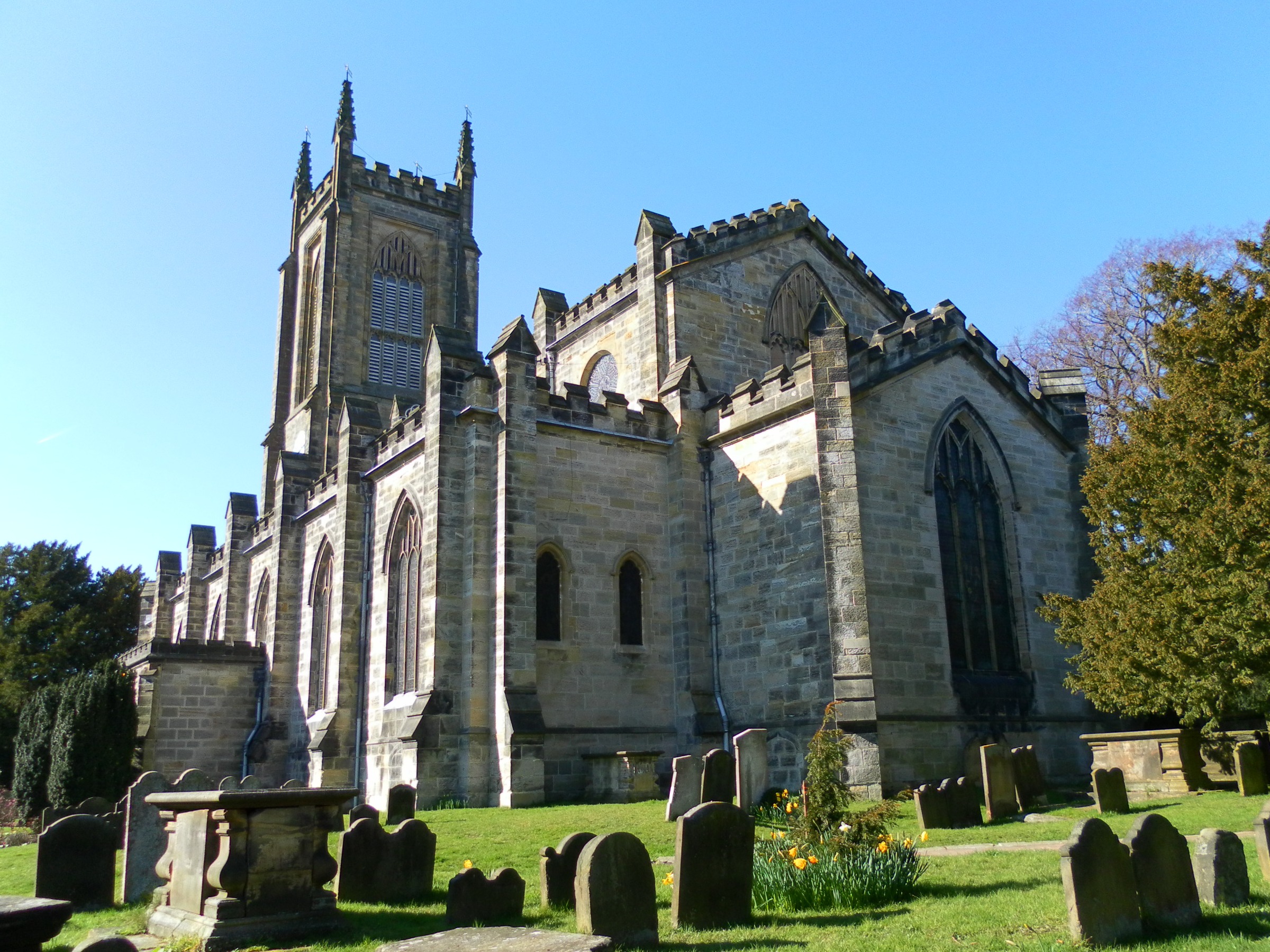
St Swithun's Church, East Grinstead

St. Swithun's is a Church of England church in East Grinstead, West Sussex, England, which is a Grade II* listed building.The site had a church since the...

Ashurst Wood

Ashurst Wood is a village and civil parish in the Mid Sussex District of West Sussex, within the historic county of Sussex, England. It is 1 mile (2 km...

East Grinstead Museum

East Grinstead Museum is located at Cantelupe Road in East Grinstead, West Sussex, England. It was established in 1995 in a purpose-built museum constructed...

Nearby Amenities

Located within 500m of 51.115132,0.007784434
Bus Stop
Truscott Manor
Bench: no
Bin: no
Bus: yes
Naptan AtcoCode: 4400EG0172
Naptan Bearing: SE
Naptan CommonName: Truscott Manor
Naptan Indicator: Outside
Naptan Landmark: Luxfords
Naptan NaptanCode: wsxapama
Naptan Street: Lewes Road
Naptan Verified: no
Public Transport: platform
Shelter: no
Source: naptan_import
Tactile Paving: no
Lat/Long: 51.1163608/0.0139307
Bus Stop
Truscott Manor
Bench: no
Bin: no
Bus: yes
Naptan AtcoCode: 4400EG0173
Naptan Bearing: NW
Naptan CommonName: Truscott Manor
Naptan Indicator: opp
Naptan Landmark: Luxfords
Naptan NaptanCode: wsxapamd
Naptan Street: Lewes Road
Naptan Verified: no
Public Transport: platform
Shelter: no
Source: naptan_import
Tactile Paving: no
Lat/Long: 51.1166901/0.0130877
Bus Stop
Worsted Lane
Bus: yes
Naptan AtcoCode: 4400EG0174
Naptan Bearing: NW
Naptan CommonName: Worsted Lane
Naptan Indicator: opp Worsted Lane
Naptan Landmark: Worsted Lane
Naptan NaptanCode: wsxapamg
Naptan Street: A22 Lewes Road
Naptan Verified: no
Public Transport: platform
Shelter: no
Source: naptan_import
Lat/Long: 51.1193267/0.009918
Barrier: stile
Foot: yes
Material: wood
Stile: stepover
Lat/Long: 51.1116233/0.0114419
Post Box
Brand: Royal Mail
Brand Wikidata: Q638098
Brand Wikipedia: en:Royal Mail
Collection Times: Mo-Fr 09:00, Sa 07:00
Operator: Royal Mail
Operator Wikidata: Q638098
Post Box Type: lamp
Ref: RH19 37D
Royal Cypher: EIIR
Royal Cypher Wikidata: Q33102113
Source: survey
Lat/Long: 51.1160984/0.0141356
The data included in this document is from www.openstreetmap.org. The data is made available under ODbL.

Have you been to The Shaw?

Leave your review of The Shaw below (or comments, questions and feedback).