Beachy Wood
Wood, Forest in Sussex Lewes
England
Beachy Wood

Beachy Wood, located in Sussex, England, is a picturesque woodland area known for its natural beauty and diverse range of flora and fauna. Spanning over 600 acres, the wood is situated within the South Downs National Park, offering visitors an opportunity to immerse themselves in the tranquility and serenity of the surrounding countryside.
The wood is primarily composed of ancient woodland, meaning it has existed continuously for at least 400 years, making it a valuable ecological site. It is home to a rich variety of tree species, including oak, ash, beech, and birch, which create a dense canopy overhead, providing shade and shelter for the woodland floor below. Bluebells carpet the forest floor during the spring, creating a breathtaking display of color.
The diverse habitat of Beachy Wood supports a wide range of wildlife. Visitors may encounter deer, foxes, badgers, and a variety of bird species, including woodpeckers and owls. The wood is also home to several rare butterfly species, such as the Silver-washed Fritillary and the Purple Emperor.
For outdoor enthusiasts, Beachy Wood offers numerous walking trails that wind through the ancient woodland, allowing visitors to explore its natural wonders. It is a popular destination for nature lovers, photographers, and those seeking a peaceful retreat from the bustle of urban life.
In conclusion, Beachy Wood in Sussex is a beautiful and ecologically important woodland area, offering visitors a chance to connect with nature and experience the tranquility of the surrounding countryside.
If you have any feedback on the listing, please let us know in the comments section below.
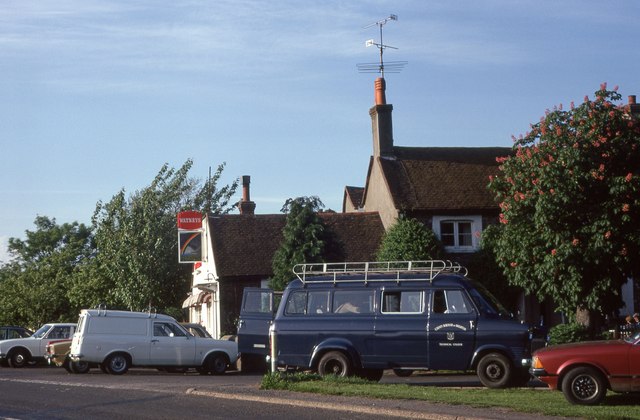
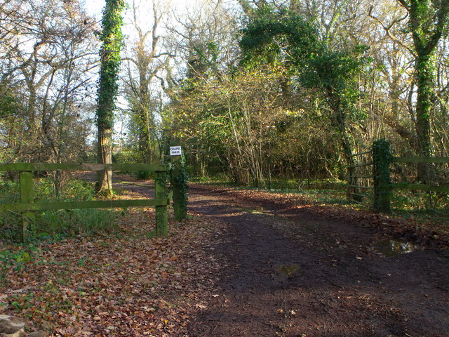
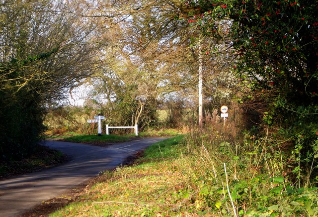
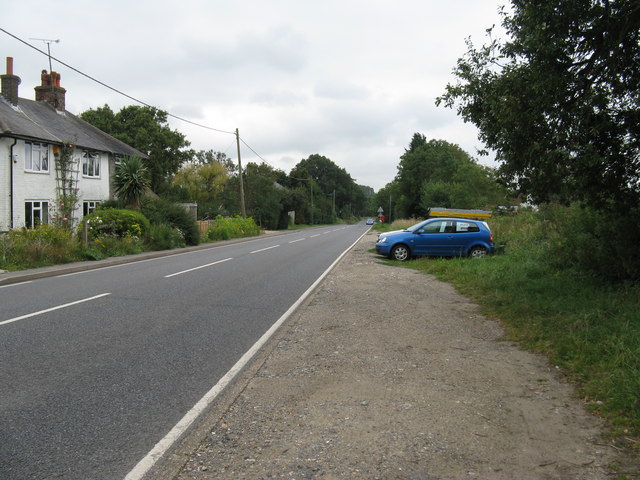
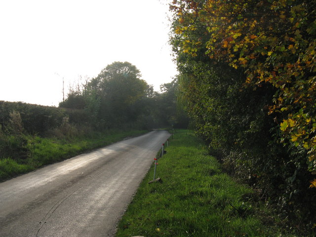
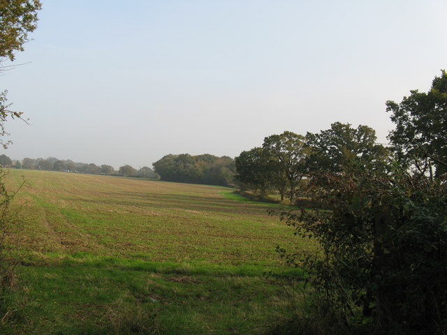
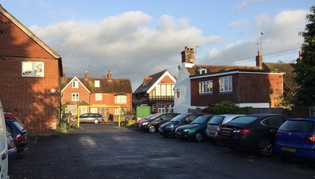
Beachy Wood Images
Images are sourced within 2km of 50.926623/-0.001680779 or Grid Reference TQ4016. Thanks to Geograph Open Source API. All images are credited.


Beachy Wood is located at Grid Ref: TQ4016 (Lat: 50.926623, Lng: -0.001680779)
Administrative County: East Sussex
District: Lewes
Police Authority: Sussex
What 3 Words
///fastening.tabloid.crusaders. Near South Chailey, East Sussex
Nearby Locations
Related Wikis

Barcombe railway station
Barcombe was a railway station serving the village of Barcombe in East Sussex. It was part of the East Grinstead to Lewes line, part of which now makes...

Barcombe
Barcombe is an East Sussex village and civil parish in the Lewes District of East Sussex. The parish has four settlements: old Barcombe (TQ 418 143), the...

Chailey School
Chailey Secondary School opened in April 1958, is a comprehensive secondary school located in the village of South Chailey, Chailey, just outside Lewes...

Barcombe Mills
Barcombe Mills is a small settlement and an area of countryside including a local nature reserve near the village of Barcombe Cross in East Sussex, England...
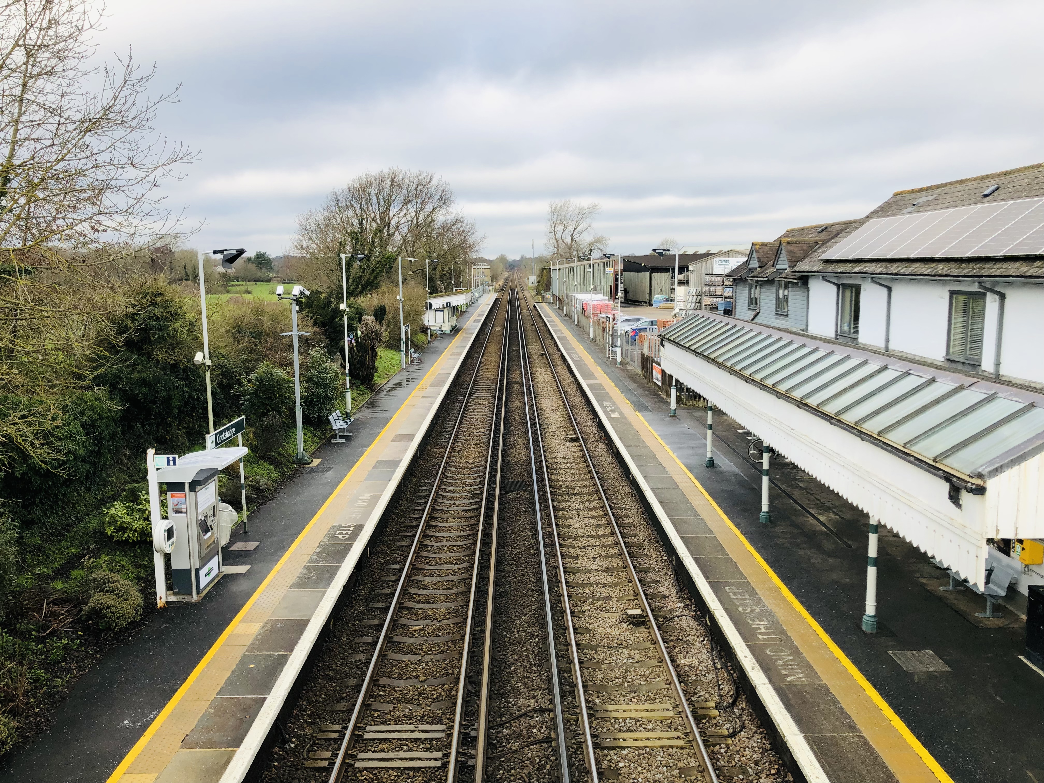
Cooksbridge railway station
Cooksbridge railway station serves the village of Cooksbridge in East Sussex, England. It is on the East Coastway Line, 47 miles 31 chains (76.3 km) from...

Barcombe Mills railway station
Barcombe Mills is a disused railway station in the hamlet of Barcombe Mills, on the closed section of the Wealden Line. The station was opened in 1858...

St John Without
St John Without is a small civil parish in the Lewes District of East Sussex, England, covering an area to the north-west of the town of Lewes. Much...

Hamsey
Hamsey is a civil parish in the Lewes District of East Sussex, England. The parish covers a large area (1,144 hectares (2,830 acres)) and consists of the...
Nearby Amenities
Located within 500m of 50.926623,-0.001680779Have you been to Beachy Wood?
Leave your review of Beachy Wood below (or comments, questions and feedback).