Coleham Wood

Wood, Forest in Sussex Wealden

England

Coleham Wood

View of trees reflected in the Middle Lake in Sheffield Park Gardens Looking northeast.
View of trees reflected in the Middle Lake in Sheffield Park Gardens Credit: Robert Lamb

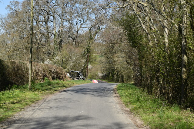
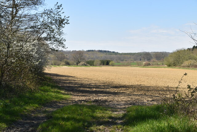
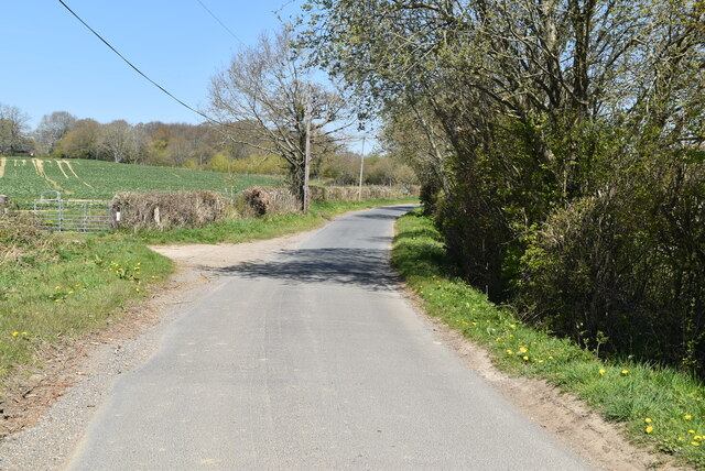
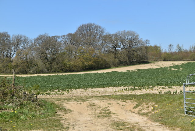
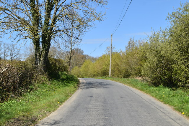
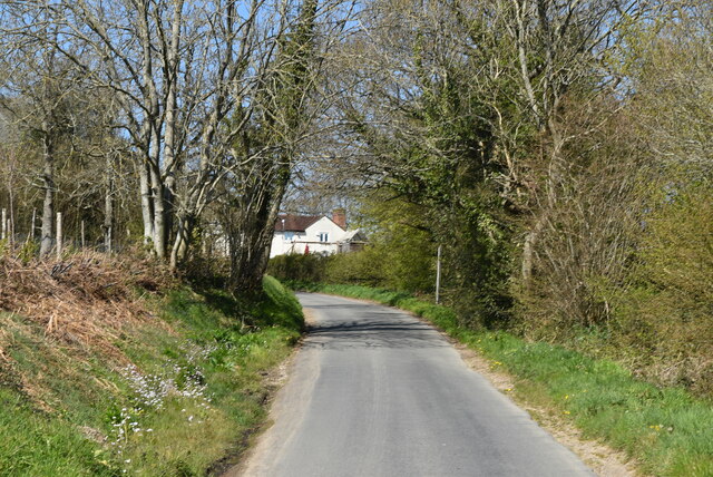
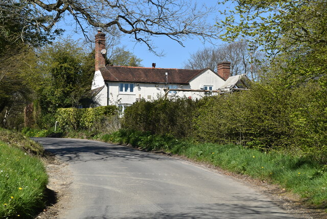
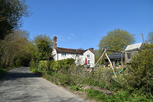
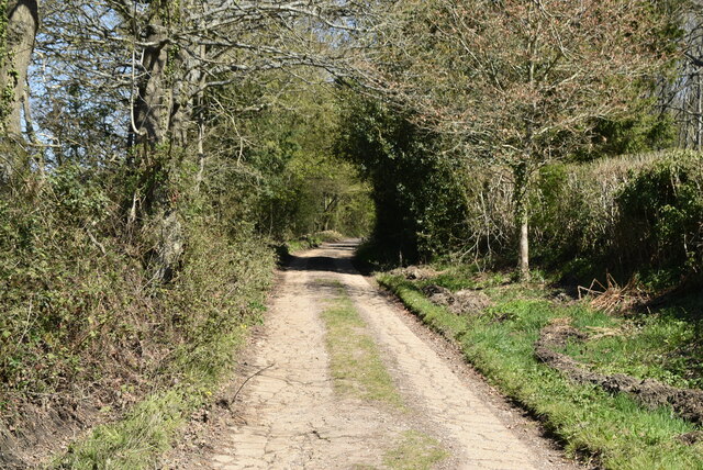
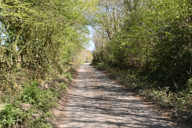
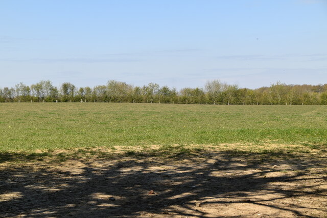
Coleham Wood is a picturesque woodland located in the county of Sussex, England. Spread across an area of approximately 100 acres, this ancient forest is a haven for nature enthusiasts and those seeking tranquility amidst the beauty of nature. The wood is situated near the village of Coleham, nestled in the heart of the Sussex countryside.

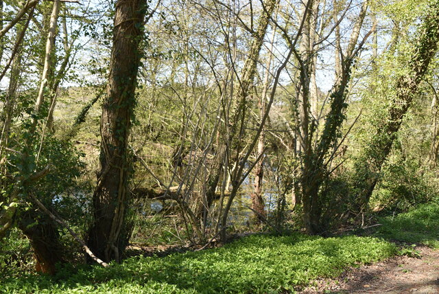
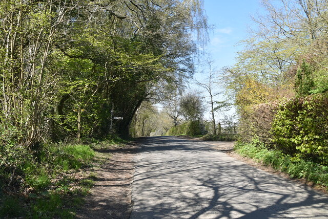
The wood is predominantly composed of broadleaf trees, including oak, beech, and ash, which create a lush canopy overhead. These trees, some of which are centuries old, provide a habitat for a diverse range of wildlife, making it a popular spot for birdwatching and wildlife spotting. Visitors may be lucky enough to spot species such as woodpeckers, owls, and deer, among others.

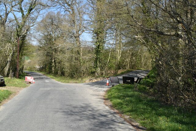
Traversing through Coleham Wood, visitors can explore a network of well-maintained footpaths and trails that wind their way through the forest. These paths offer glimpses of the wood's natural beauty, including sun-dappled clearings, babbling brooks, and carpets of wildflowers during springtime.

The wood is also of historical significance, with evidence of human activity dating back to the Iron Age. Archaeological remains, including earthworks and burial mounds, can be found within the forest, providing insights into the area's rich past.

To ensure the preservation of this unique woodland, Coleham Wood is managed by a local conservation organization, which works to maintain the delicate balance between human enjoyment and environmental sustainability. The wood is open to the public year-round, allowing visitors to immerse themselves in the serenity and natural splendor that Coleham Wood has to offer.

If you have any feedback on the listing, please let us know in the comments section below.

Coleham Wood Images

Images are sourced within 2km of 51.001471/-0.000946366 or Grid Reference TQ4024. Thanks to Geograph Open Source API. All images are credited.

View of trees reflected in the Middle Lake in Sheffield Park Gardens Looking northeast.
View of trees reflected in the Middle Lake in Sheffield Park Gardens
Looking northeast.
View of trees reflected in the Middle Lake in Sheffield Park Gardens #2 Looking south-southeast.
View of trees reflected in the Middle Lake in Sheffield Park Gardens #2
Looking south-southeast.
View of trees reflected in Ten Foot Pond in Sheffield Park Gardens Looking west-northwest.
View of trees reflected in Ten Foot Pond in Sheffield Park Gardens
Looking west-northwest.
Ketche's Lane
Ketche's Lane
Ketche's Lane, Sliders Lane junction
Woodland pond
Woodland pond
Ploughed field
Ploughed field
Ketche's Lane
Ketche's Lane
Arable field by Ketche's Lane
Brickpits Farm
Brickpits Farm
Ketche's Lane
Ketche's Lane
Ketche's Lane
Ketche's Lane
Kingswood Cottage
Kingswood Cottage
Kingswood Cottage
Kingswood Cottage
Ketche's Lane
Ketche's Lane
Sussex Border Path The Sussex Border Path is a footpath route nearly 150 miles long around the inland boundary of the county of Sussex. The county owes its origins to the kingdom of the South Saxons and can claim to have one of the longest inland county boundaries from Emsworth to Rye. The route was devised in 1983 and is well signed along most of the route. Website <span class="nowrap"><a title="http://www.sussexborderpath.co.uk/" rel="nofollow ugc noopener" href="http://www.sussexborderpath.co.uk/">Link</a><img style="margin-left:2px;" alt="External link" title="External link - shift click to open in new window" src="https://s1.geograph.org.uk/img/external.png" width="10" height="10"/></span> 
Map: <a title="https://www.geograph.org.uk/search.php?i=40140109&page=1&displayclass=map#i=40140109&page=1&displayclass=map&zoom=2&lat=51.03263&lon=-0.05427&layers=FTTB00000000000T" href="https://www.geograph.org.uk/search.php?i=40140109&page=1&displayclass=map#i=40140109&page=1&displayclass=map&zoom=2&lat=51.03263&lon=-0.05427&layers=FTTB00000000000T">Link</a>
Sussex Border Path
The Sussex Border Path is a footpath route nearly 150 miles long around the inland boundary of the county of Sussex. The county owes its origins to the kingdom of the South Saxons and can claim to have one of the longest inland county boundaries from Emsworth to Rye. The route was devised in 1983 and is well signed along most of the route. Website LinkExternal link Map: Link
Farmland by Sussex Border Path
Show me another place!

Coleham Wood is located at Grid Ref: TQ4024 (Lat: 51.001471, Lng: -0.000946366)

Administrative County: East Sussex

District: Wealden

Police Authority: Sussex

What 3 Words

///recording.anguished.deed. Near Newick, East Sussex

Related Wikis

Sussex

Sussex (; from the Old English Sūþsēaxe; lit. 'South Saxons') is a historic county in South East England that is bounded to the west by Hampshire, north...

Sussex Wildlife Trust

The Sussex Wildlife Trust (SWT) is a conservation charity which aims to protect natural life in Sussex. It was founded in 1961 and is one of 46 wildlife...

Sheffield Park railway station

Sheffield Park is the southern terminus of the Bluebell Railway and also the headquarters of the line. It is located on the southern bank of the River...

Sheffield Park and Garden

Sheffield Park and Garden is an informal landscape garden five miles east of Haywards Heath, in East Sussex, England. It was originally laid out in the...

Sheffield Park cricket ground

Sheffield Park is a cricket ground at the Sheffield Park estate, located near Uckfield, East Sussex, England. From 1881 to 1896 it was the home ground...

Furner's Green

Furner's Green is a hamlet in the civil parish of Danehill in East Sussex, England. == Geography == Furner's Green lies on the Greenwich Meridian about...

Scaynes Hill SSSI

Scaynes Hill is a 0.04-hectare (0.099-acre) geological Site of Special Scientific Interest north-west of Newick in East Sussex. It is a Geological Conservation...

Fletching, East Sussex

Fletching is a village and civil parish in the Wealden District of East Sussex, England. It is located three miles (4.8 km) to the north-west of Uckfield...

Related Videos

riding the waves of nature

nature #photography #naturephotography #love #travel #photooftheday #instagood #beautiful #picoftheday #photo #instagram ...

Sheffield park #nature #travel

The autumn trees are a beautiful sight to behold, and their reflections in the water are even more beautiful.

Steve Hackett - Walking Away From Rainbows - 21st January 2024 at Trading Boundaries. Acoustic show

Steve Hackett - Walking Away From Rainbows - 21st January 2024 at Trading Boundaries. Acoustic show with John Hackett, ...

Nearby Amenities

Located within 500m of 51.001471,-0.000946366
Railway: crossing
Lat/Long: 50.9977436/-0.0026719
Ketches Farm
Note: now residential
Place: locality
Lat/Long: 51.0042432/-0.0034684
Railway: switch
Lat/Long: 50.9971035/-0.0021916
Ketches Farm Halt
Historic Railway: halt
Railway: site
Lat/Long: 51.0015136/-0.0077092
The data included in this document is from www.openstreetmap.org. The data is made available under ODbL.

Have you been to Coleham Wood?

Leave your review of Coleham Wood below (or comments, questions and feedback).