Hanchard Plantation
Wood, Forest in Cambridgeshire South Cambridgeshire
England
Hanchard Plantation

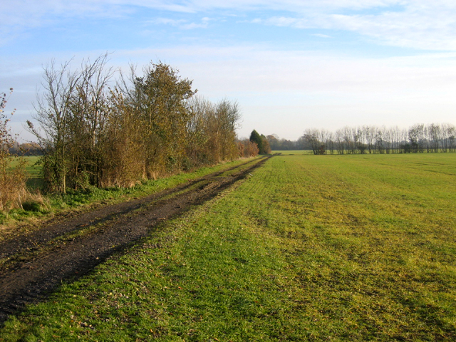
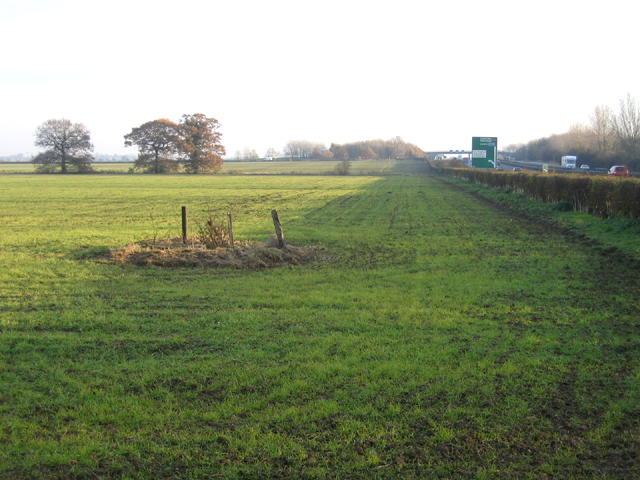
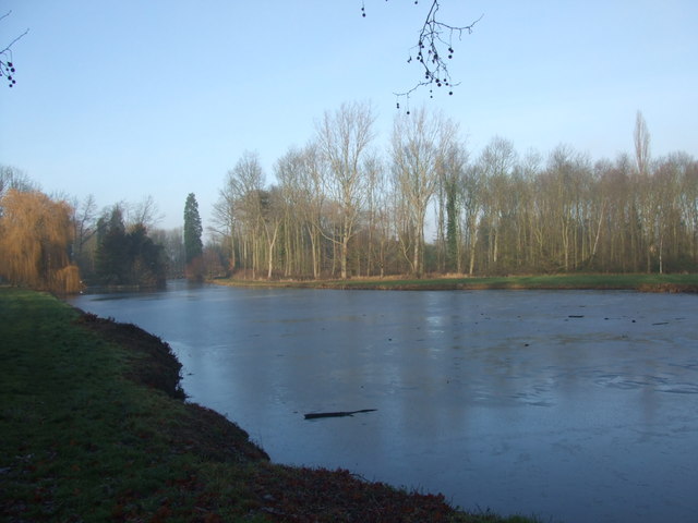
Hanchard Plantation is a woodland area located in Cambridgeshire, England. Covering an expansive area of approximately 50 acres, this picturesque plantation is nestled in the heart of the county and offers a tranquil escape from the hustle and bustle of everyday life.
The plantation predominantly consists of a mix of deciduous and coniferous trees, creating a diverse and vibrant ecosystem. Ancient oaks and beech trees stand tall alongside spruces and firs, providing a rich habitat for a variety of wildlife. A network of well-maintained trails meanders through the plantation, allowing visitors to explore the area on foot or by bicycle.
One of the notable features of Hanchard Plantation is its historical significance. It is believed that the plantation dates back to the medieval period when it was used for timber production and hunting. The remnants of old hunting lodges and gamekeepers' cottages can still be found within the plantation, adding a touch of nostalgia and charm to the area.
Hanchard Plantation is a popular destination for nature lovers, walkers, and birdwatchers. The diverse range of flora and fauna, including rare species such as red kites and great crested newts, make it an ideal spot for wildlife enthusiasts. The plantation also hosts educational programs and guided tours, allowing visitors to learn more about the local ecosystem and conservation efforts.
Overall, Hanchard Plantation in Cambridgeshire offers a serene natural environment, steeped in history and brimming with biodiversity. Whether one seeks a peaceful stroll, a glimpse of wildlife, or a journey into the past, this enchanting woodland is sure to captivate visitors of all ages.
If you have any feedback on the listing, please let us know in the comments section below.
Hanchard Plantation Images
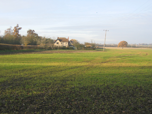
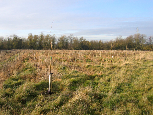
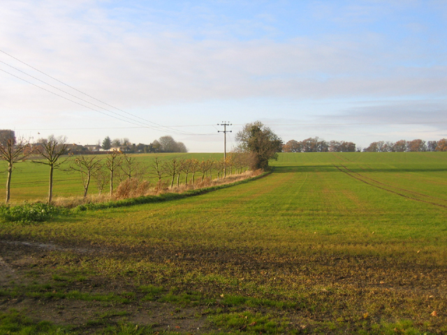
Images are sourced within 2km of 52.234254/0.052146113 or Grid Reference TL4061. Thanks to Geograph Open Source API. All images are credited.


Hanchard Plantation is located at Grid Ref: TL4061 (Lat: 52.234254, Lng: 0.052146113)
Administrative County: Cambridgeshire
District: South Cambridgeshire
Police Authority: Cambridgeshire
What 3 Words
///levels.storm.complains. Near Girton, Cambridgeshire
Nearby Locations
Related Wikis
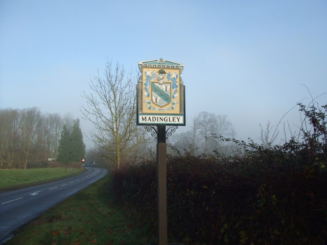
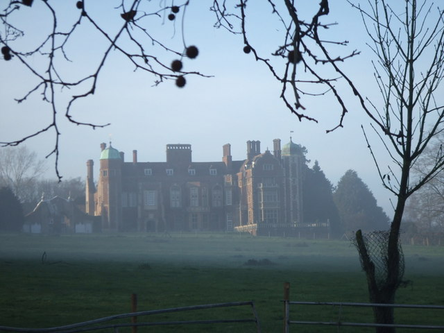
Madingley
Madingley is a small village near Cambridge, England. It is located close to the nearby villages of Coton and Dry Drayton on the western outskirts of Cambridge...

University of Cambridge Institute of Continuing Education
The University of Cambridge Institute of Continuing Education (ICE) is a department of the University of Cambridge dedicated to providing continuing education...

Madingley Wood
Madingley Wood is a 15.4-hectare (38-acre) biological Site of Special Scientific Interest near Madingley, on the western outskirts of Cambridge. The western...

Cambridge American Cemetery and Memorial
Cambridge American Cemetery and Memorial is a World War II American military war grave cemetery, lying between the villages of Coton and Madingley, 7 km...
Nearby Amenities
Located within 500m of 52.234254,0.052146113Have you been to Hanchard Plantation?
Leave your review of Hanchard Plantation below (or comments, questions and feedback).