Brickhill Grove
Wood, Forest in Hertfordshire North Hertfordshire
England
Brickhill Grove
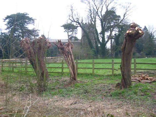
Brickhill Grove is a picturesque woodland located in Hertfordshire, England. Covering an area of approximately 200 acres, it is a serene and peaceful retreat for nature enthusiasts and outdoor enthusiasts alike. The grove is characterized by its dense and verdant forest, composed primarily of oak, beech, and pine trees. These towering trees create a canopy that provides shade and shelter, adding to the tranquil atmosphere of the grove.
As visitors explore Brickhill Grove, they can meander along its well-maintained trails that wind through the woods. These paths offer stunning views of the surrounding landscape, with glimpses of wildlife such as deer, rabbits, and a variety of bird species. The grove is also home to a diverse range of plant life, including wildflowers, ferns, and mosses, adding to its natural beauty.
In addition to its recreational offerings, Brickhill Grove also serves as an important ecological site, providing a habitat for various flora and fauna. The grove is actively managed by local conservation organizations to preserve its biodiversity and protect its delicate ecosystem.
Visitors to Brickhill Grove can take advantage of the designated picnic areas and benches scattered throughout the wood, providing the perfect opportunity to relax and enjoy the peaceful surroundings. The grove is open to the public year-round and is a popular destination for nature walks, photography, and meditation.
Overall, Brickhill Grove is a hidden gem in Hertfordshire, offering a serene and immersive experience in the heart of nature. Whether one seeks tranquility or simply wishes to explore the great outdoors, this woodland sanctuary is the perfect destination.
If you have any feedback on the listing, please let us know in the comments section below.
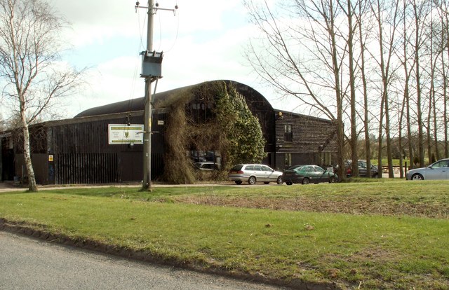
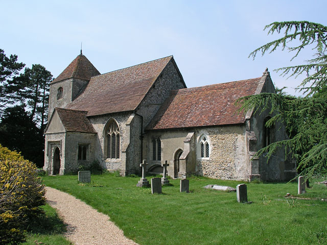
Brickhill Grove Images
Images are sourced within 2km of 52.000822/0.036192226 or Grid Reference TL3935. Thanks to Geograph Open Source API. All images are credited.


Brickhill Grove is located at Grid Ref: TL3935 (Lat: 52.000822, Lng: 0.036192226)
Administrative County: Hertfordshire
District: North Hertfordshire
Police Authority: Hertfordshire
What 3 Words
///surviving.otherwise.grandest. Near Royston, Hertfordshire
Nearby Locations
Related Wikis

Nuthampstead
Nuthampstead is a small village and civil parish in North East Hertfordshire located a few miles south of the town of Royston. In the 2001 census the parish...

Barkway
Barkway is a long-established village and civil parish in the North Hertfordshire district of Hertfordshire, England, about five miles south-east of...

River Quin
The River Quin is a small watercourse which rises near Barkway in north east Hertfordshire, England. The river is fed by a number of sources including...
RAF Barkway
Royal Air Force Barkway or more simply RAF Barkway was one of the smallest Royal Air Force stations in the United Kingdom. It was a Communications Station...

Barkway Chalk Pit
Barkway Chalk Pit is a small (0.3 hectare) nature reserve in Barkway in North Hertfordshire. It was managed by the Herts and Middlesex Wildlife Trust...

Anstey Castle
Anstey Castle was in the village of Anstey, Hertfordshire. It was a 12th-century stone motte and bailey fortress that, according to tradition, was founded...
Little Chishill
Little Chishill is a village and former civil parish, now in the parish of Great and Little Chishill, in the South Cambridgeshire district, in the county...

Anstey, Hertfordshire
Anstey is a village and civil parish in the East Hertfordshire district of Hertfordshire, England, about 15 miles (24 km) northeast of Stevenage. According...
Nearby Amenities
Located within 500m of 52.000822,0.036192226Have you been to Brickhill Grove?
Leave your review of Brickhill Grove below (or comments, questions and feedback).