Cole's Plantation
Wood, Forest in Cambridgeshire South Cambridgeshire
England
Cole's Plantation

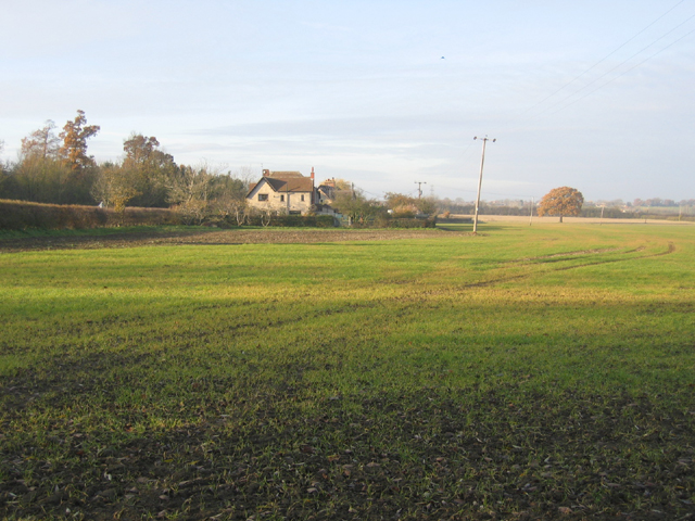
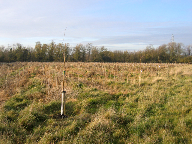
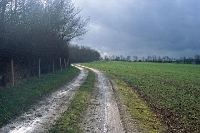
Cole's Plantation is a picturesque woodland located in the county of Cambridgeshire, England. Nestled in the heart of the countryside, it covers an area of approximately 50 acres, making it a sizable woodland perfect for nature enthusiasts and outdoor lovers.
The plantation boasts a diverse range of trees, including oak, birch, and beech, creating a lush and vibrant forest. The towering trees provide a canopy that filters sunlight, creating a cool and refreshing atmosphere within. The forest floor is adorned with a carpet of wildflowers, adding bursts of color to the serene landscape.
The woodland is home to a wide variety of animal species, including deer, foxes, and numerous bird species. This makes it an ideal spot for wildlife watching and nature photography. The peaceful ambiance and secluded location offer a tranquil retreat, allowing visitors to immerse themselves in nature and escape the hustle and bustle of everyday life.
Cole's Plantation is also a popular destination for outdoor activities such as hiking, cycling, and picnicking. Several well-maintained trails crisscross the woodland, providing visitors with the opportunity to explore and discover its hidden gems. With its gentle slopes and meandering paths, the plantation caters to both seasoned hikers and casual walkers.
Overall, Cole's Plantation is a natural gem in Cambridgeshire, offering a serene and enchanting experience for those seeking solace in nature. Its diverse flora and fauna, coupled with its accessibility and recreational opportunities, make it a beloved destination for both locals and tourists alike.
If you have any feedback on the listing, please let us know in the comments section below.
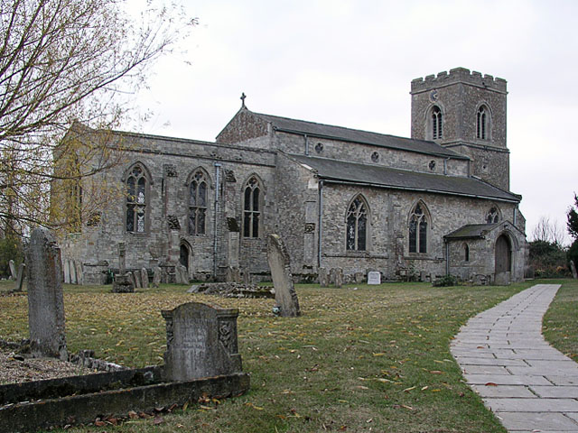
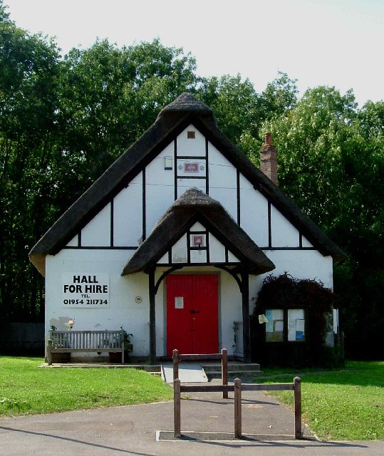
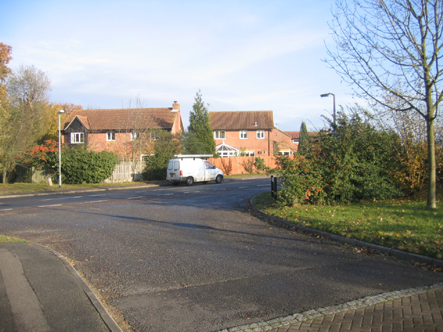
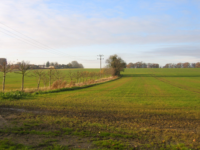
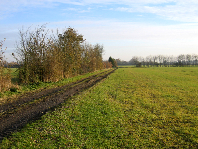
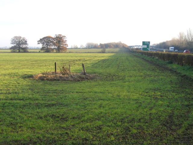
Cole's Plantation Images
Images are sourced within 2km of 52.23495/0.044723775 or Grid Reference TL3961. Thanks to Geograph Open Source API. All images are credited.


Cole's Plantation is located at Grid Ref: TL3961 (Lat: 52.23495, Lng: 0.044723775)
Administrative County: Cambridgeshire
District: South Cambridgeshire
Police Authority: Cambridgeshire
What 3 Words
///quench.along.gain. Near Bar Hill, Cambridgeshire
Nearby Locations
Related Wikis
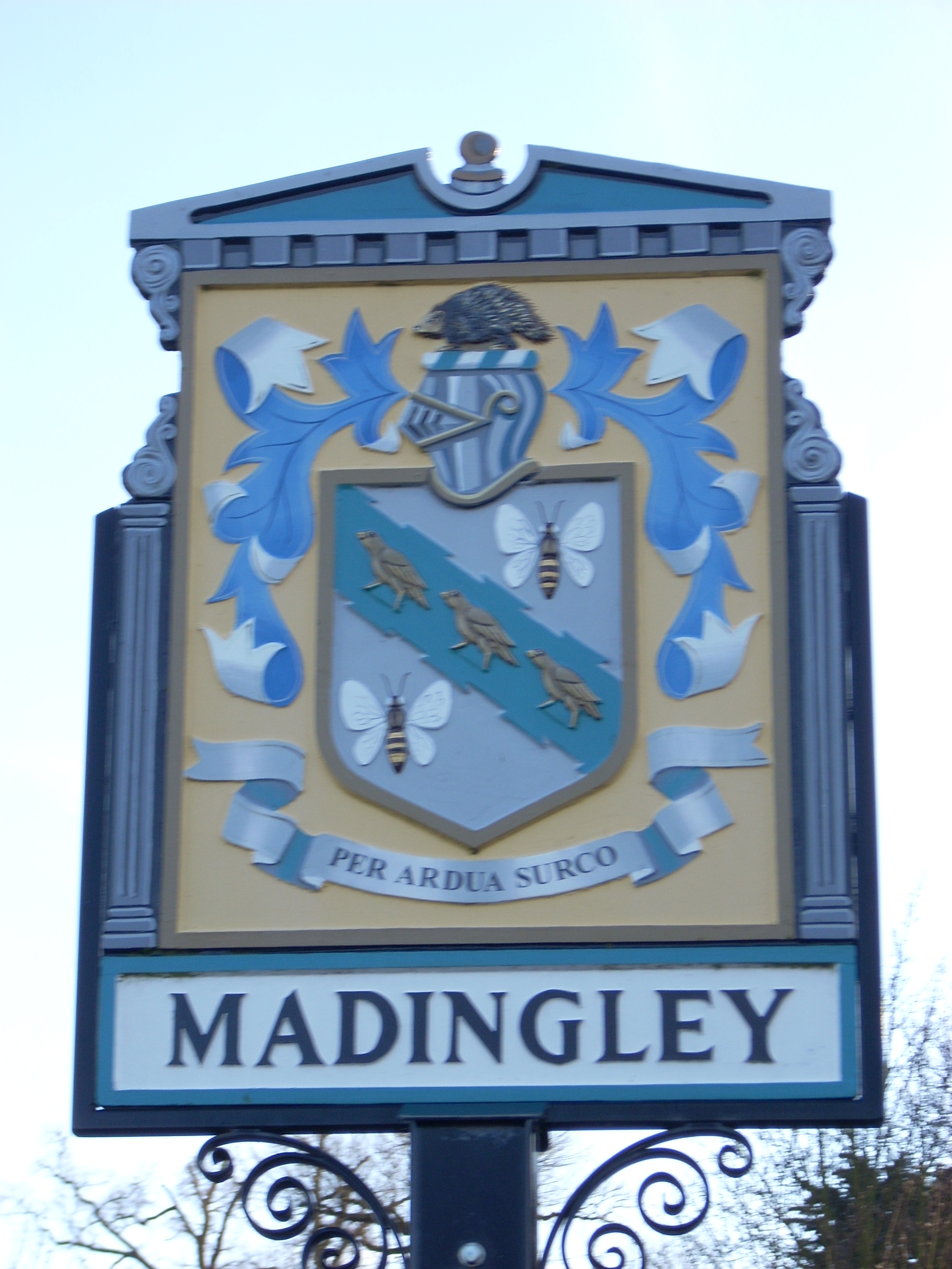
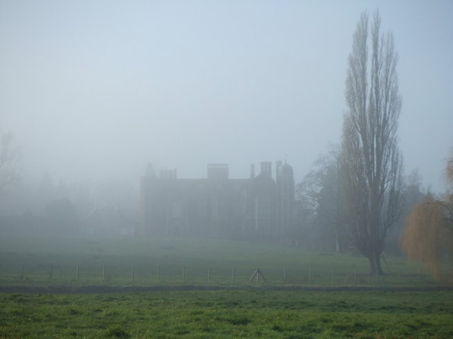
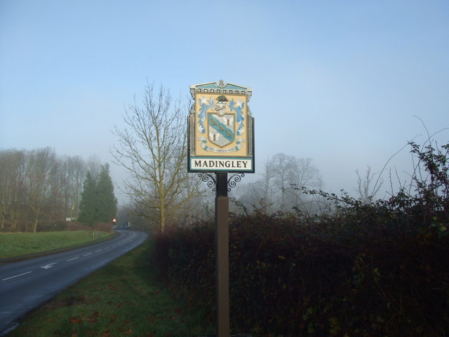
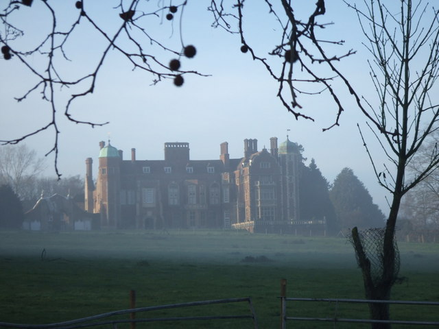
Madingley
Madingley is a small village near Cambridge, England. It is located close to the nearby villages of Coton and Dry Drayton on the western outskirts of Cambridge...

University of Cambridge Institute of Continuing Education
The University of Cambridge Institute of Continuing Education (ICE) is a department of the University of Cambridge dedicated to providing continuing education...

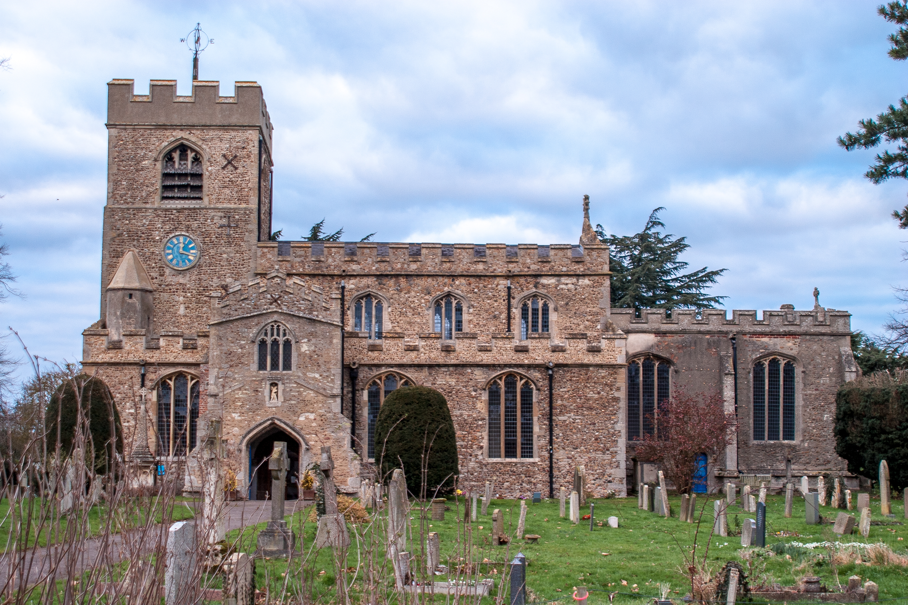
Dry Drayton
Dry Drayton is a village and civil parish about 5 miles (8 km) northwest of Cambridge in Cambridgeshire, England, listed as Draitone in the Domesday Book...

Madingley Wood
Madingley Wood is a 15.4-hectare (38-acre) biological Site of Special Scientific Interest near Madingley, on the western outskirts of Cambridge.The western...

Cambridge American Cemetery and Memorial
Cambridge American Cemetery and Memorial is a World War II American military war grave cemetery, located between the villages of Coton and Madingley, 7...

Bar Hill
Bar Hill is a purpose-built village with a population of 4,000 about 4 miles (7 km) northwest of Cambridge, England on the A14 road, just east of the Prime...
Girton, Cambridgeshire
Girton is a village and civil parish of about 1,600 households, and 4,500 people, in Cambridgeshire, England. It lies about 2 miles (3 km) to the northwest...

Girton College, Cambridge
Girton College is one of the 31 constituent colleges of the University of Cambridge. The college was established in 1869 by Emily Davies and Barbara Bodichon...
Nearby Amenities
Located within 500m of 52.23495,0.044723775Have you been to Cole's Plantation?
Leave your review of Cole's Plantation below (or comments, questions and feedback).