Crab Orchard Wood
Wood, Forest in Surrey Tandridge
England
Crab Orchard Wood
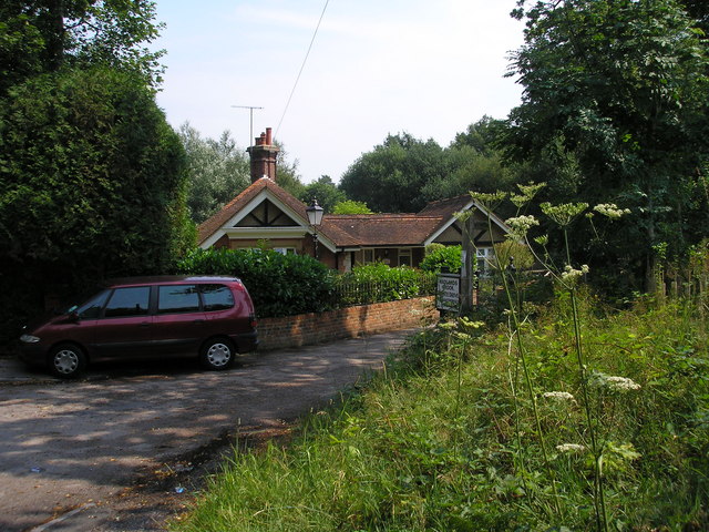
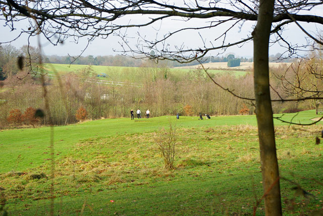
Crab Orchard Wood is a picturesque forest located in Surrey, England. Spanning over a vast area, it is a popular destination for nature enthusiasts, hikers, and wildlife lovers. The wood is known for its diverse ecosystem and breathtaking natural beauty.
Covering various terrains, Crab Orchard Wood offers a unique experience to visitors. Ancient oak and beech trees dominate the landscape, creating a lush canopy that provides shade and shelter to an array of flora and fauna. The forest floor is carpeted with wildflowers, ferns, and moss, adding to the enchanting atmosphere.
The wood is also home to a rich variety of wildlife. Birdwatchers can spot species such as woodpeckers, owls, and various songbirds, while mammal enthusiasts may encounter deer, foxes, and squirrels. The forest's tranquil ambiance and secluded paths provide a perfect environment for wildlife to thrive.
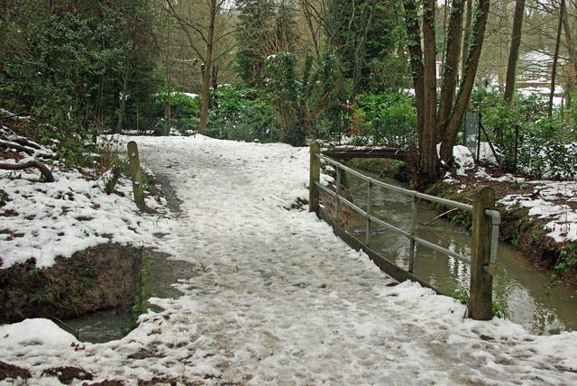
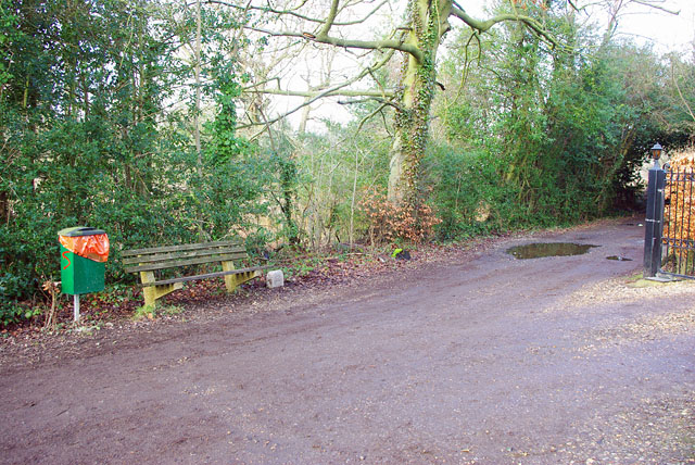
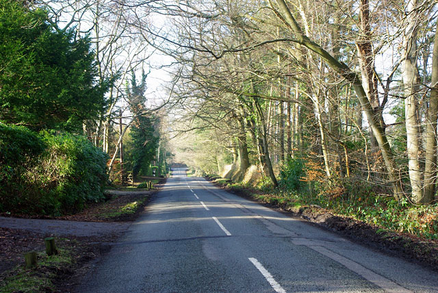
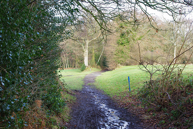
Crab Orchard Wood offers numerous walking trails, ensuring that visitors can explore the forest at their own pace. These well-maintained paths lead to hidden clearings, babbling brooks, and scenic viewpoints, allowing visitors to immerse themselves in the natural splendor of the area. Photographers and painters often find inspiration in the woodland's idyllic settings.
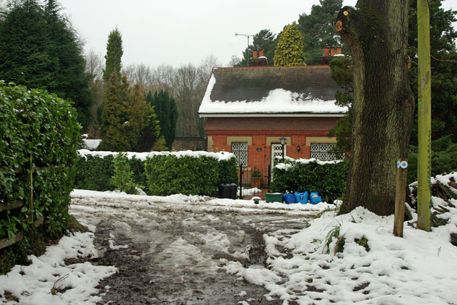
Throughout the year, the wood undergoes captivating transformations. In spring, the forest bursts into life with vibrant blossoms and a symphony of birdsong. Summer brings a lush green canopy overhead, providing a cool respite from the heat. Autumn transforms the woodland into a fiery display of reds, oranges, and yellows, while winter blankets the forest in a serene quietude.
Overall, Crab Orchard Wood in Surrey is a captivating destination that offers visitors a chance to reconnect with nature and experience the enchantment of a British woodland.
If you have any feedback on the listing, please let us know in the comments section below.
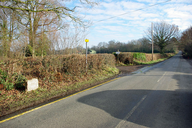
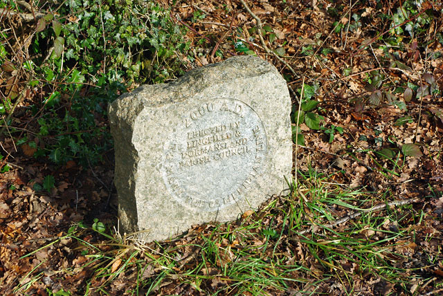
Crab Orchard Wood Images
Images are sourced within 2km of 51.151041/-0.004284361 or Grid Reference TQ3940. Thanks to Geograph Open Source API. All images are credited.


Crab Orchard Wood is located at Grid Ref: TQ3940 (Lat: 51.151041, Lng: -0.004284361)
Administrative County: Surrey
District: Tandridge
Police Authority: Surrey
What 3 Words
///grows.remedy.then. Near Dormansland, Surrey
Nearby Locations
Related Wikis

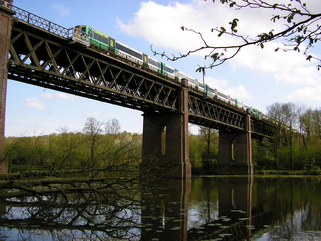
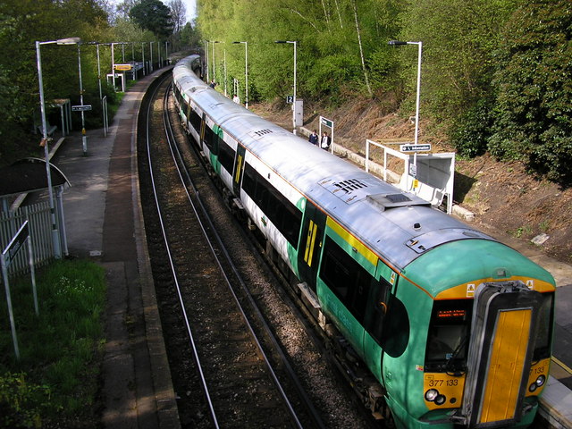
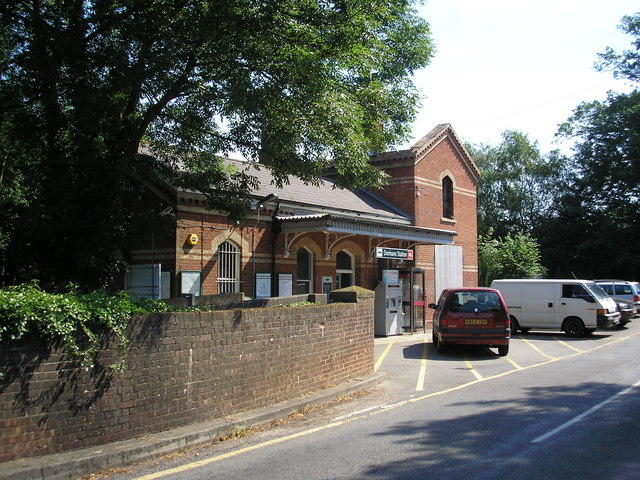
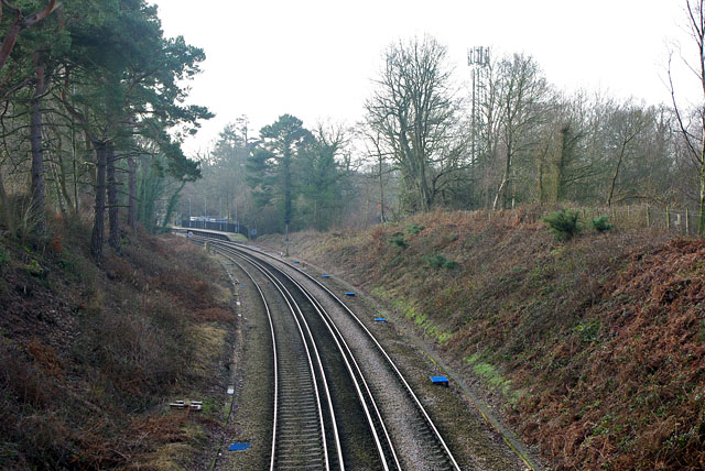
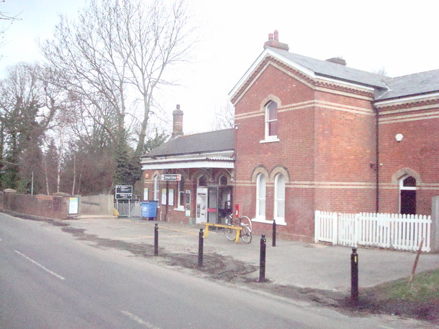
Dormans railway station
Dormans railway station is on the East Grinstead branch of the Oxted line in southern England and serves Dormansland and Dormans Park in Surrey. It is...

Bush Davies School of Theatre Arts
Bush Davies School of Theatre Arts was a dance and performing arts school in the United Kingdom. Founded by the dance teacher Pauline Bush in Nottingham...

Thedden Grange
Thedden Grange is a privately owned country house and estate in the civil parish of Bentworth, on the outskirts of Alton, Hampshire, England. Since renovation...

Queen Victoria Hospital
The Queen Victoria Hospital (QVH), located in East Grinstead, West Sussex, England is the specialist reconstructive surgery centre for the south east of...

Dormansland, Surrey
Dormansland is a large village and civil parish with a low population approximately one mile south of Lingfield in Surrey, England. It was founded in the...

East Grinstead Meridian (electoral division)
East Grinstead Meridian is an electoral division of West Sussex in the United Kingdom, and returns one member to sit on West Sussex County Council. �...

Greathed Manor
Greathed Manor, Dormansland, Surrey, is a Victorian country house. Designed by the architect Robert Kerr in 1862–8, it is a Grade II listed building....
107 Meridian FM
107 Meridian FM is a community radio station broadcasting to the West Sussex town of East Grinstead and its surrounding area. == History == The station...
Nearby Amenities
Located within 500m of 51.151041,-0.004284361Have you been to Crab Orchard Wood?
Leave your review of Crab Orchard Wood below (or comments, questions and feedback).